Following breakfast Thursday we bolted early for The West…
to leave the motorway an hour and a half later, plunging into green tunnels and through Hungerford [past The Bear where Chris Jagger and Rick passed time the winter in the seventies they more or less froze at Stargroves], more green tunnels, Marlborough, tiny Fyfield and West Kennet,
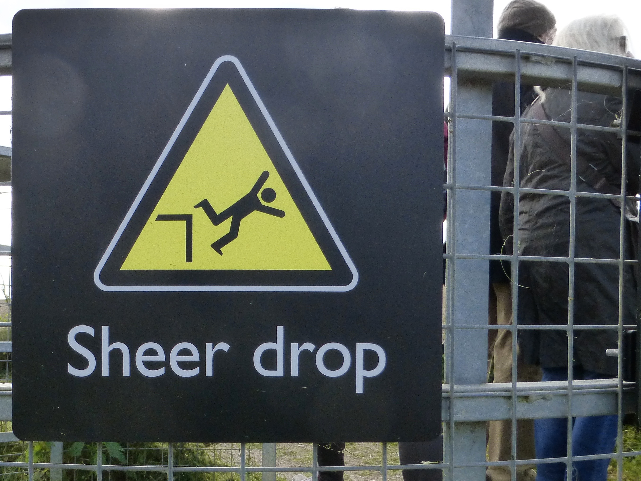
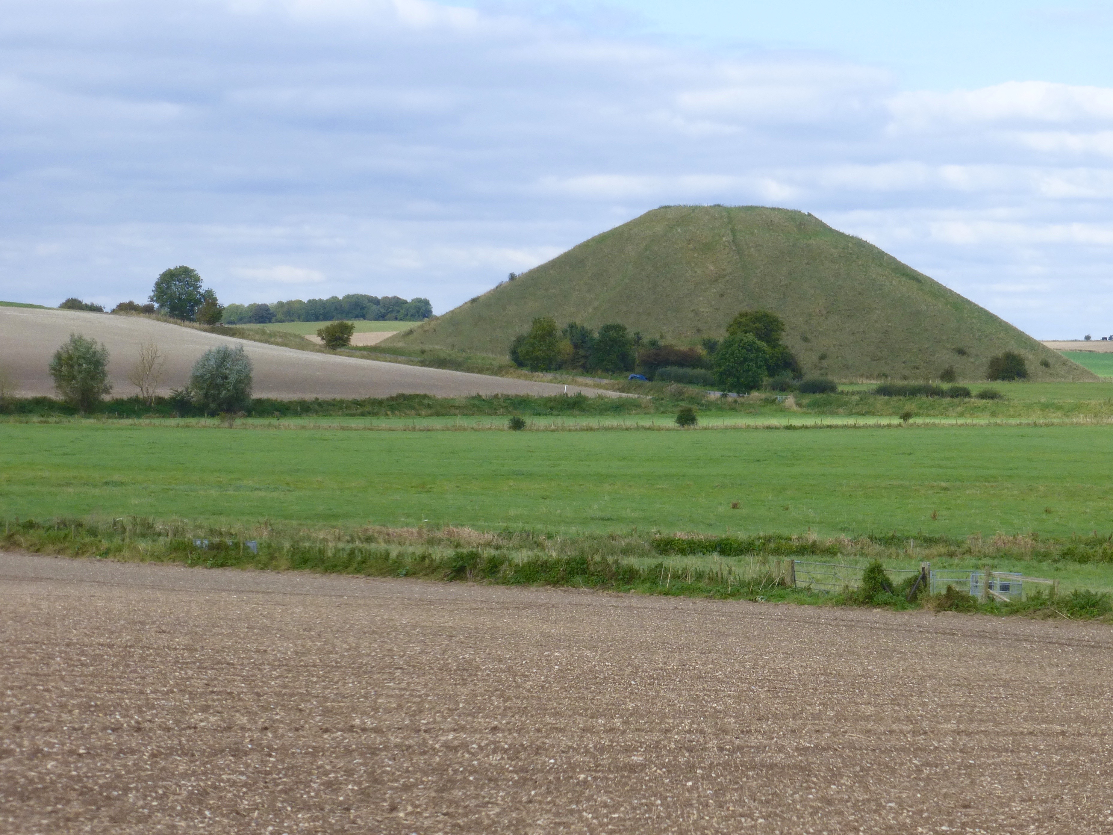
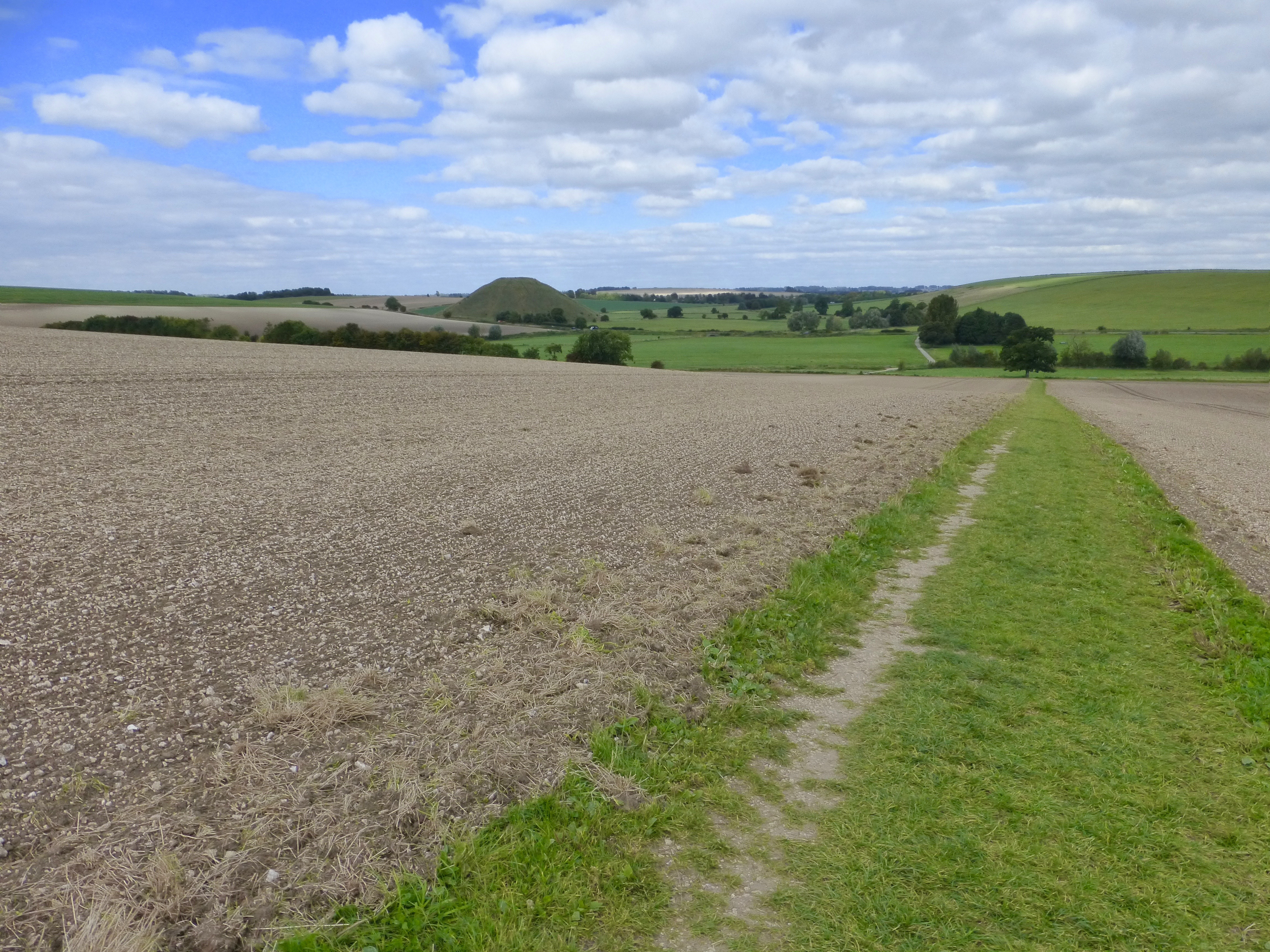
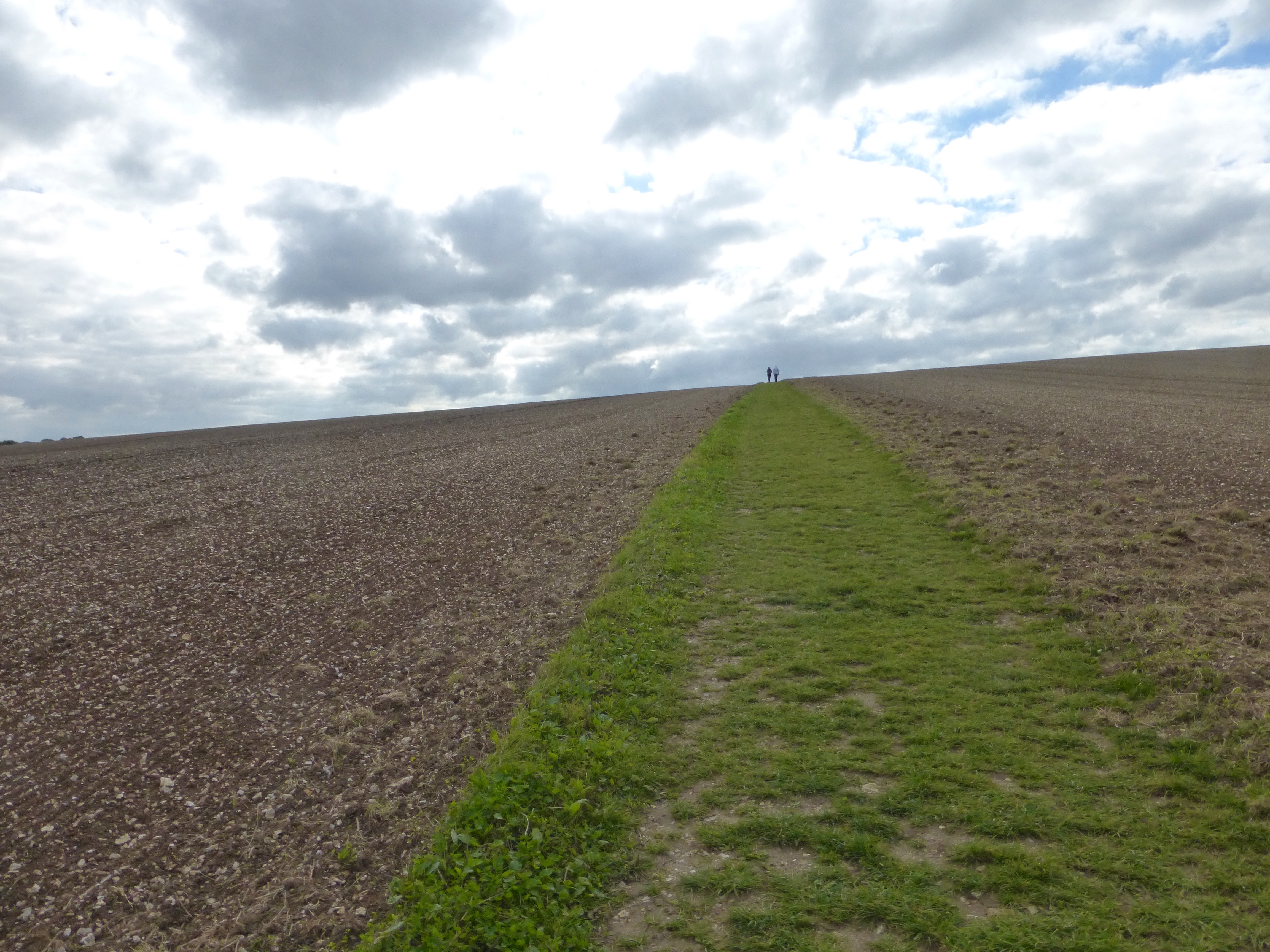
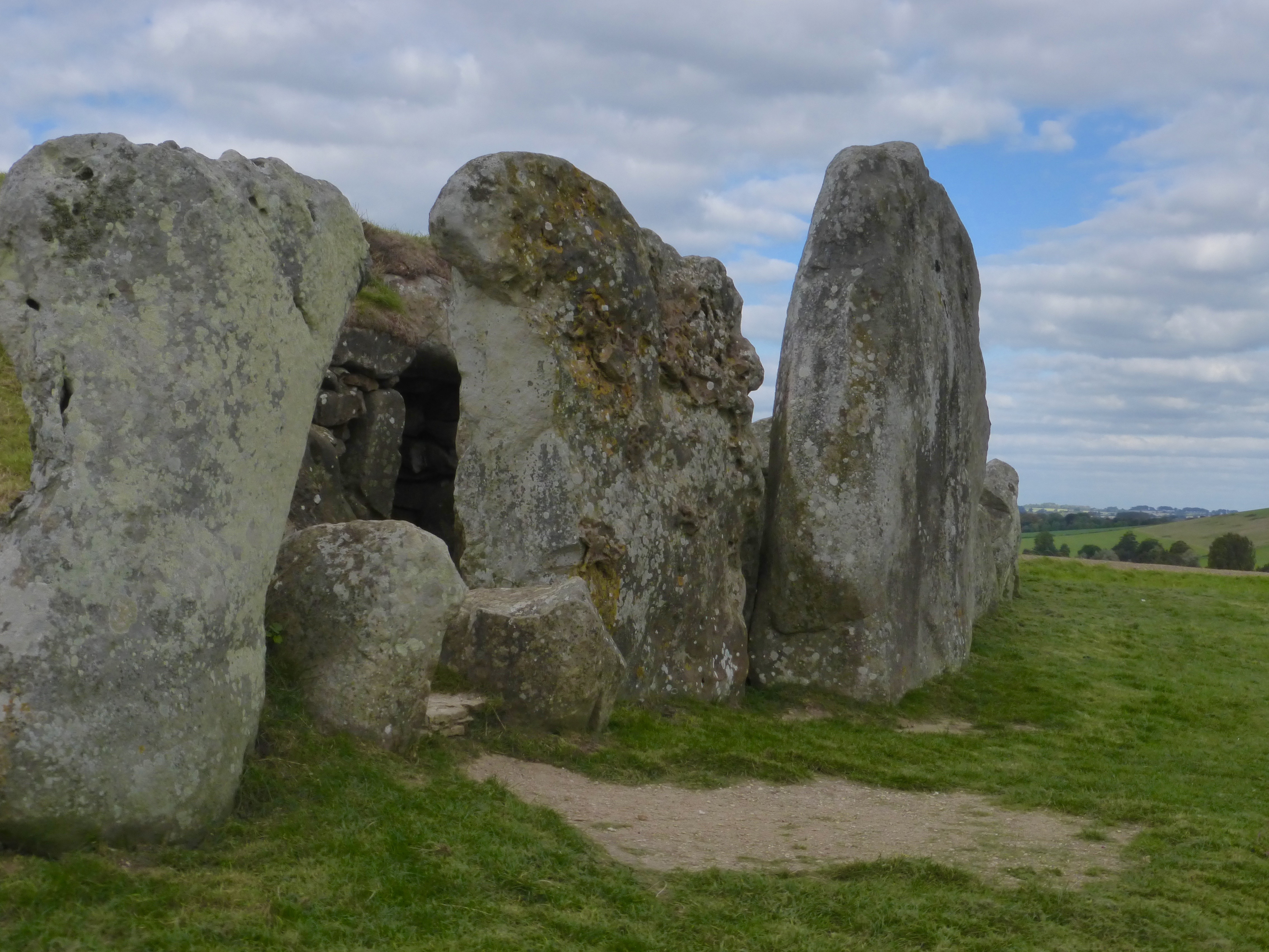
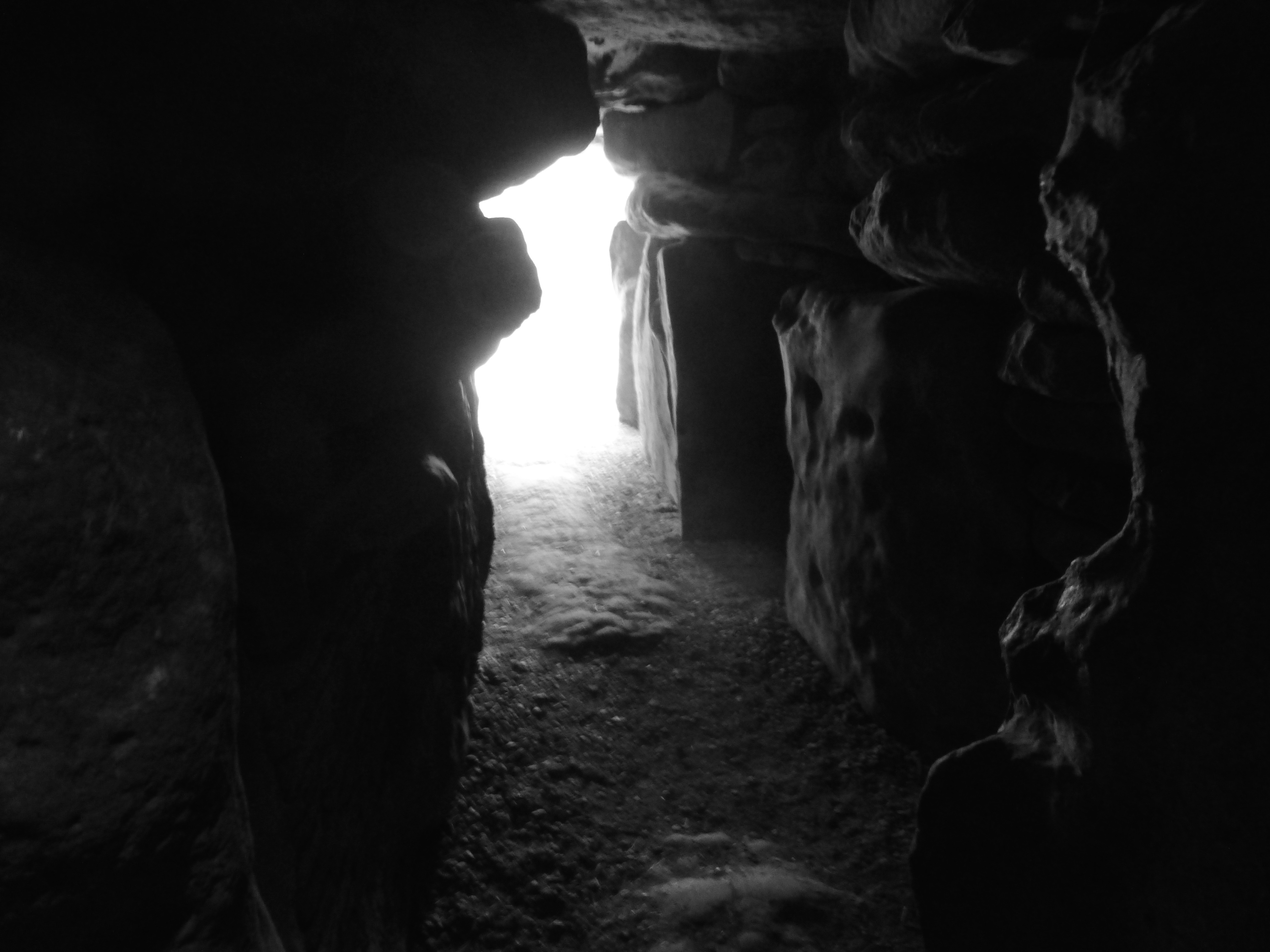
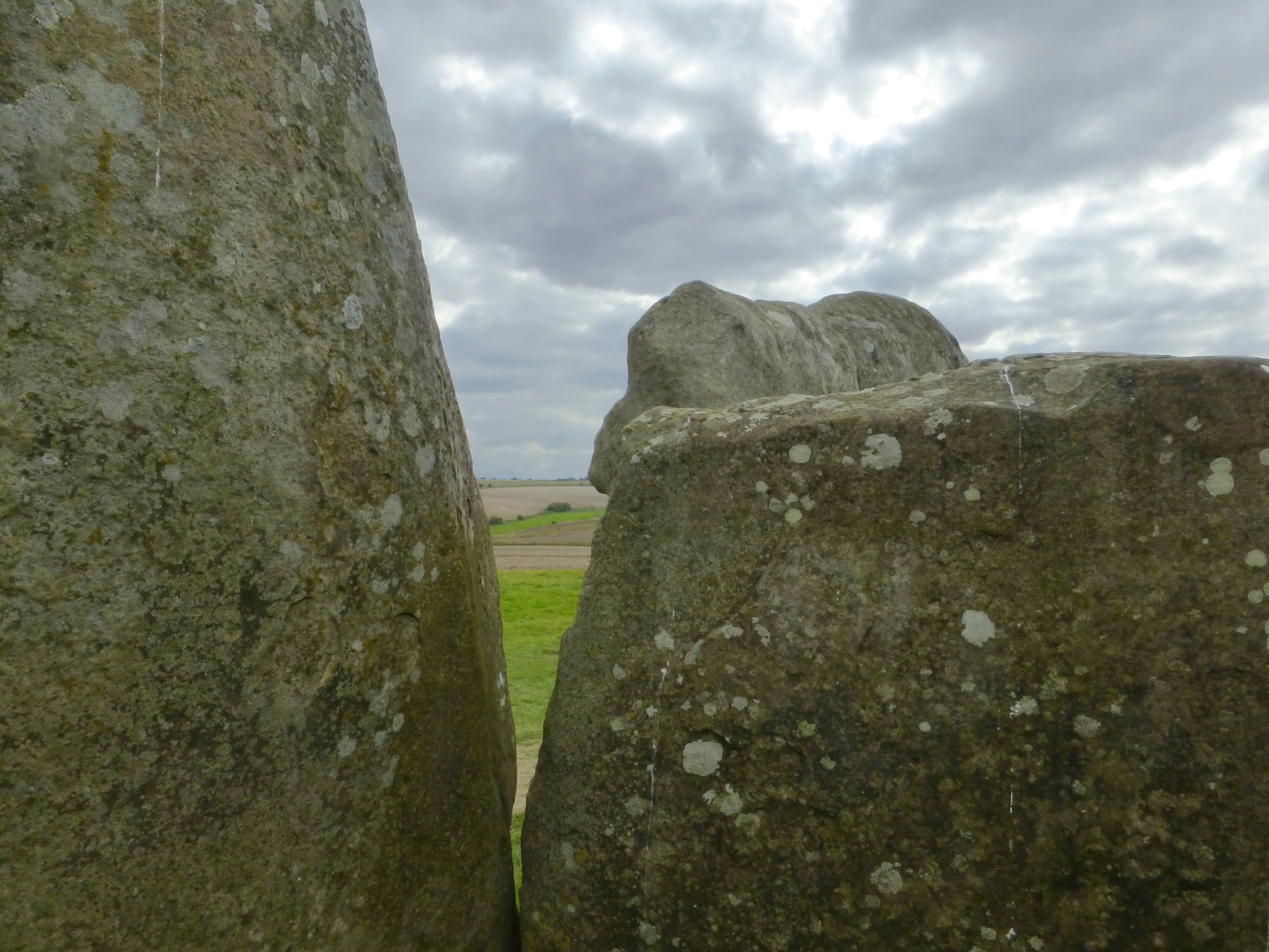
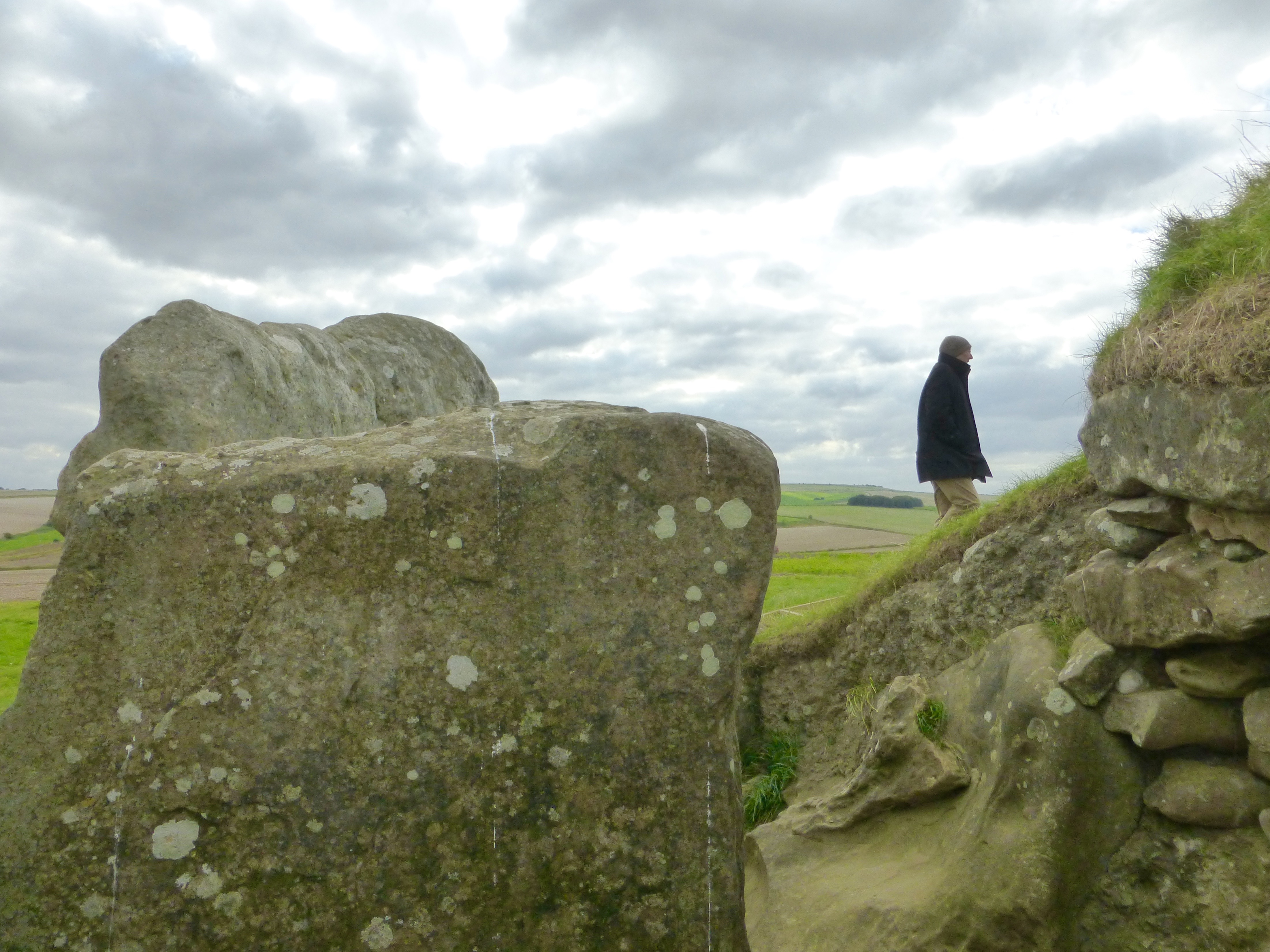
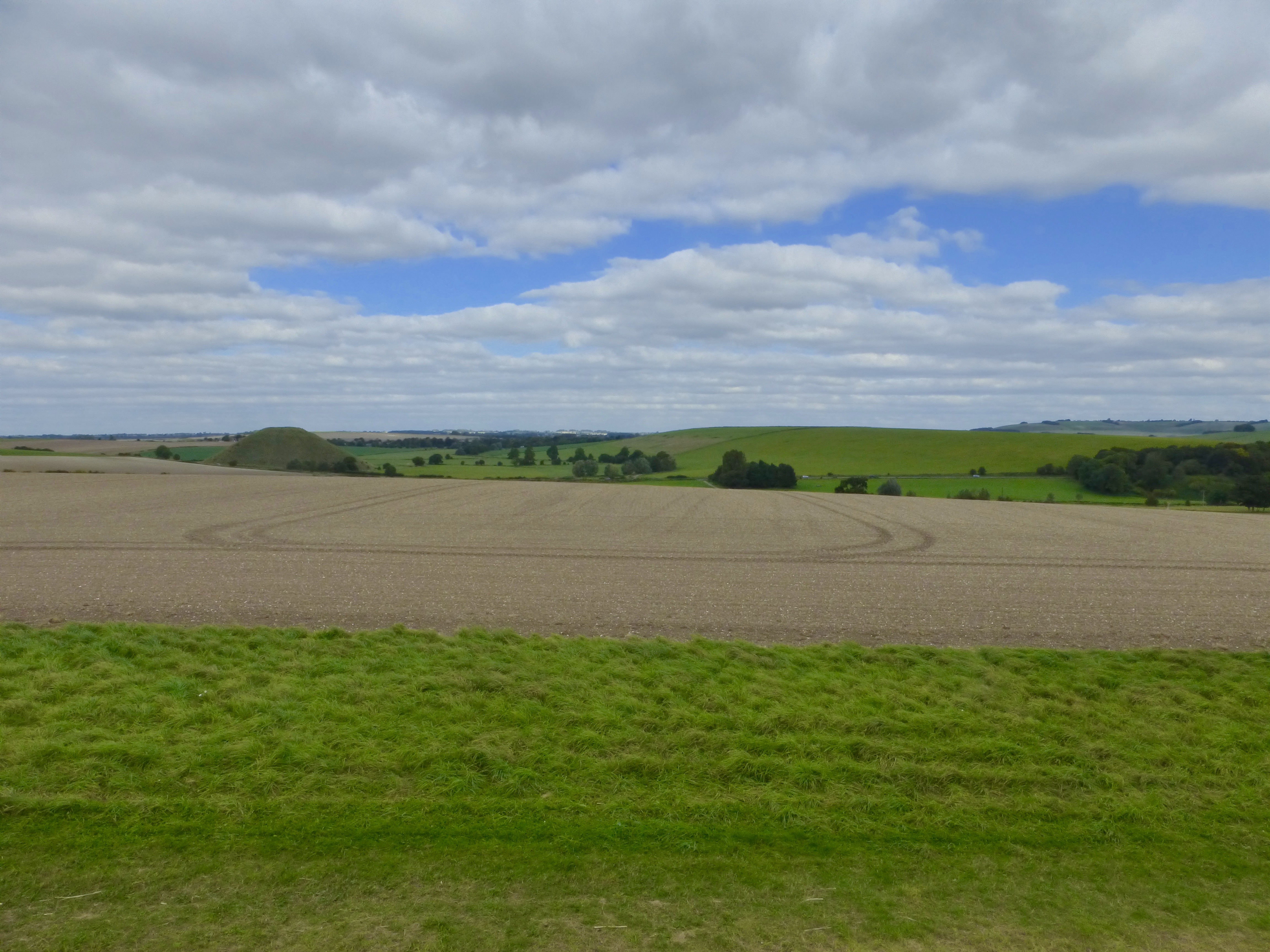
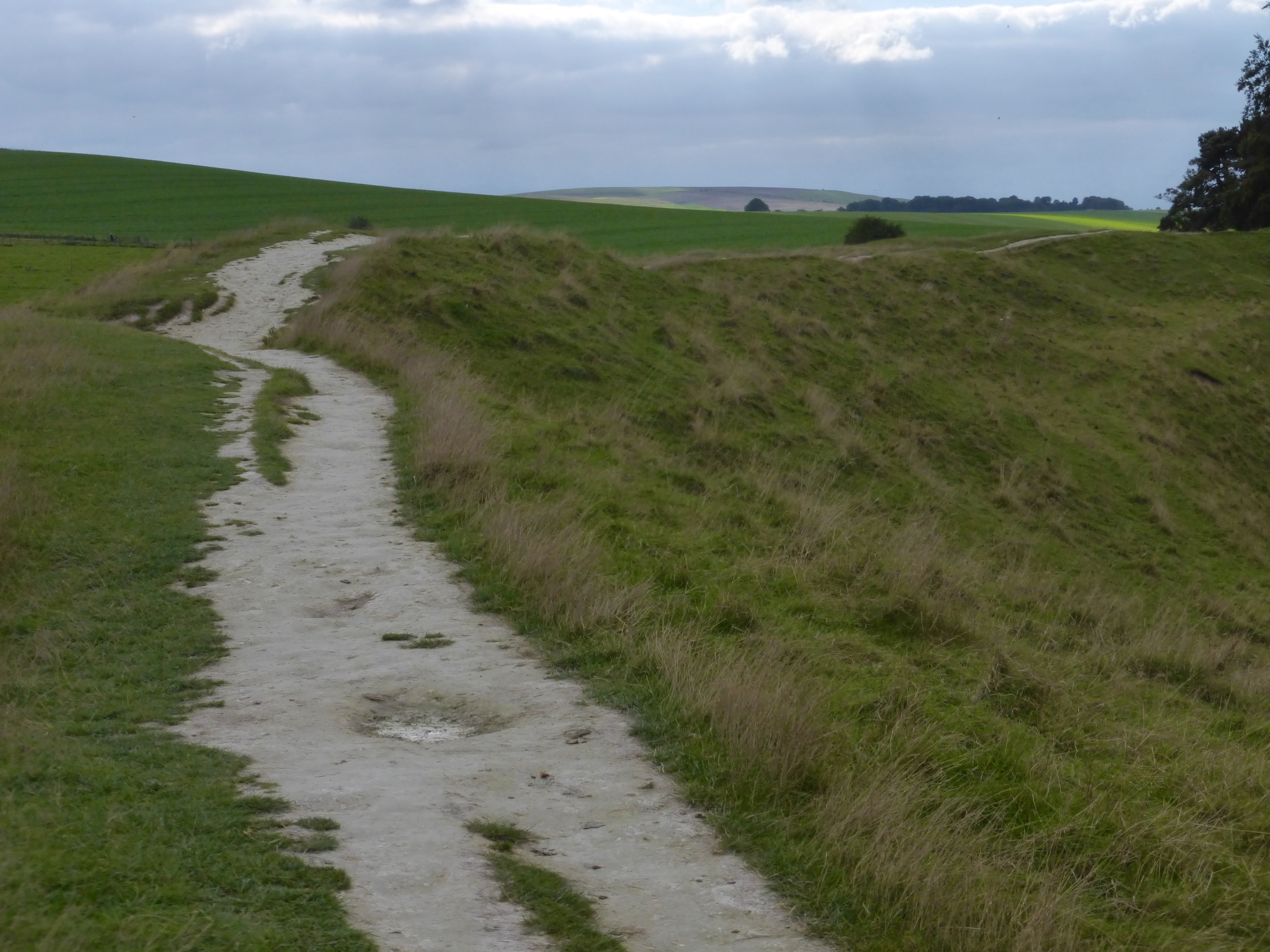
not stopping until the West Kennet Long Barrow [3,700 – 3,600 BC], which necessitated a walk – if not the drop [I saw no drop] – away from Silbury Hill [2,400 – 2,000 BC] to the ridge.
We ducked into the barrow for a neolithic view,
and Rick, regarding the landscape, remembered a holiday on the downs forty or so years previous involving a horse-drawn dog cart, avoidance of pavement, navigation by ordnance survey and pubs by night.
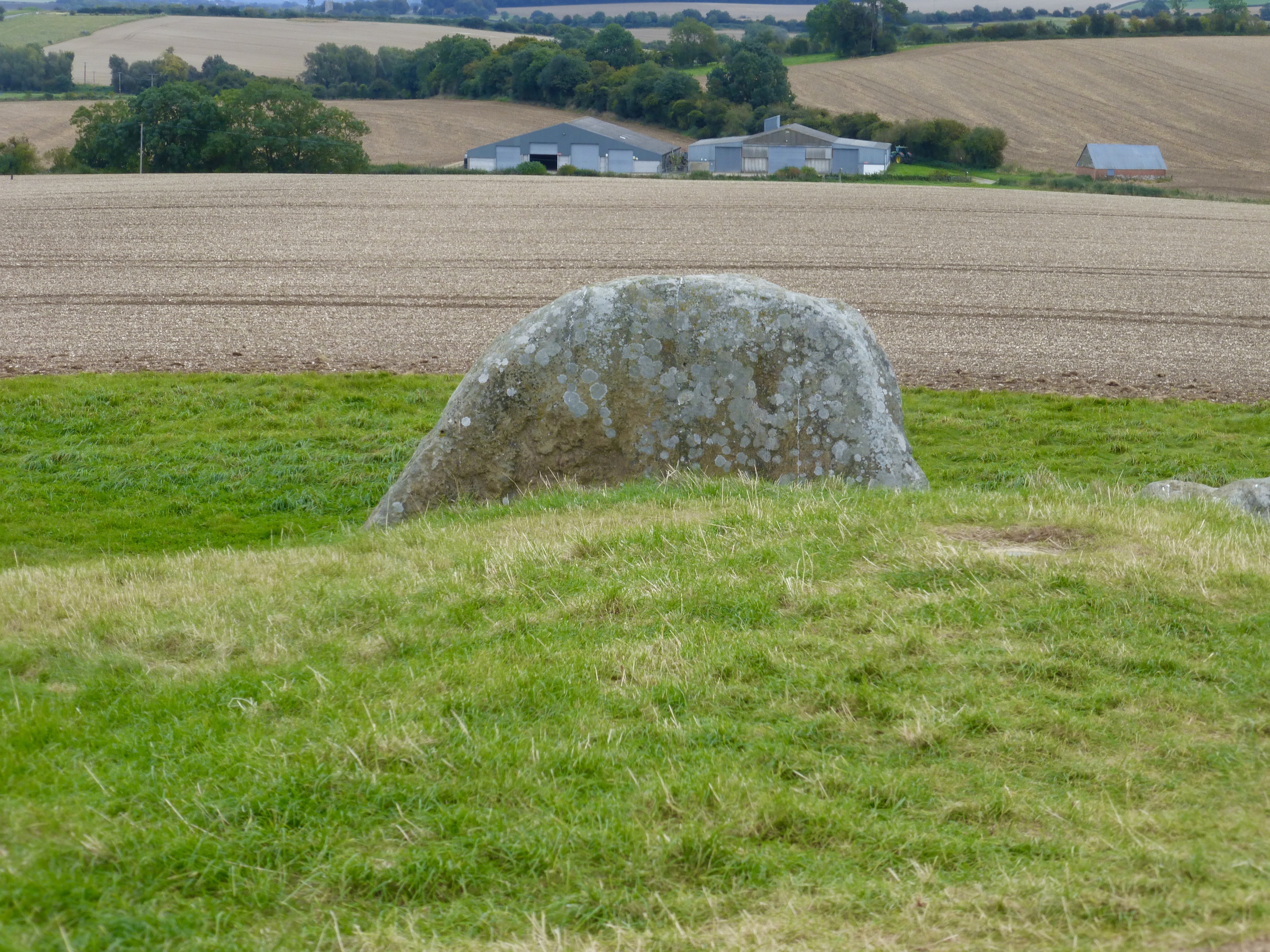
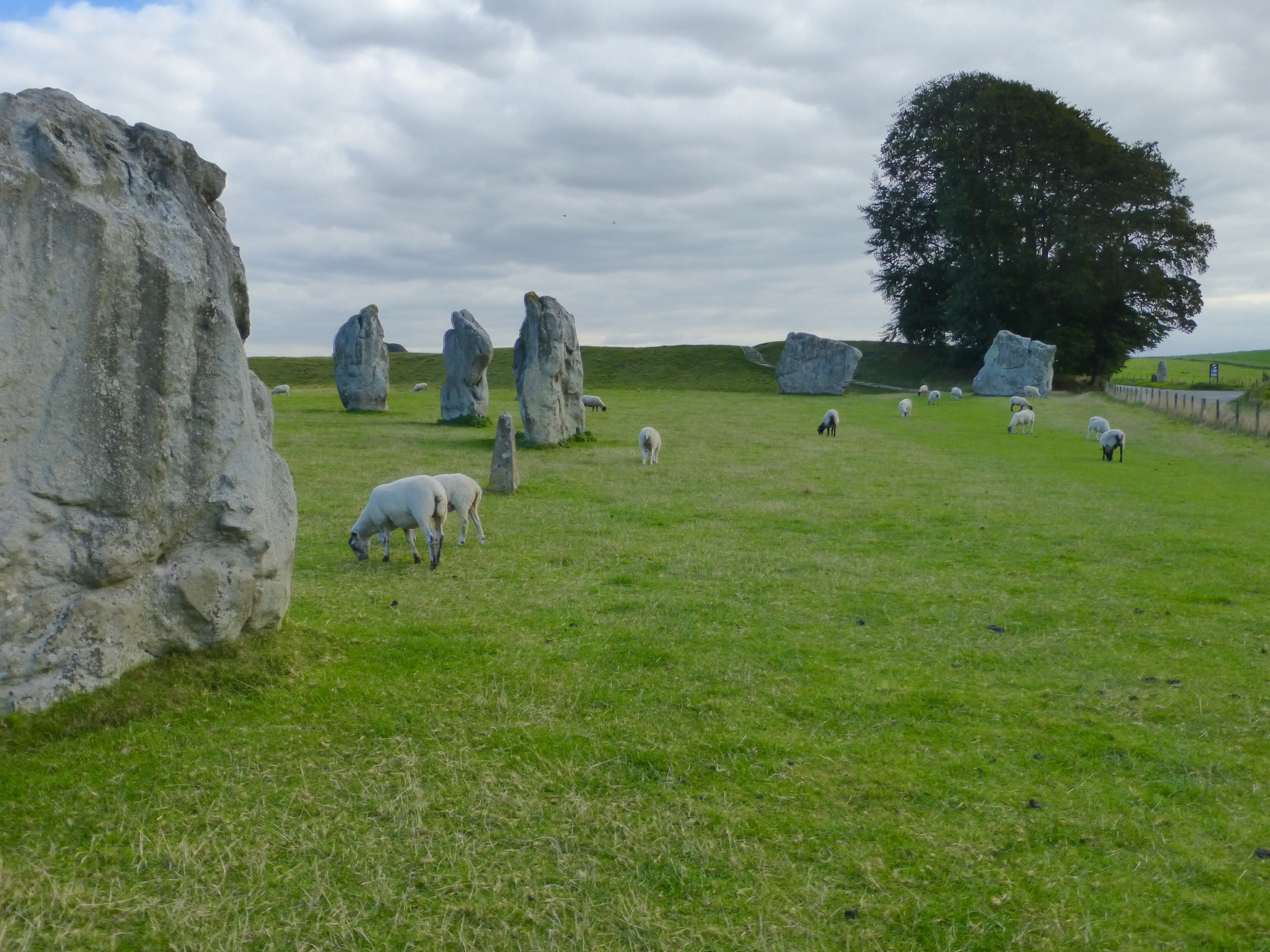
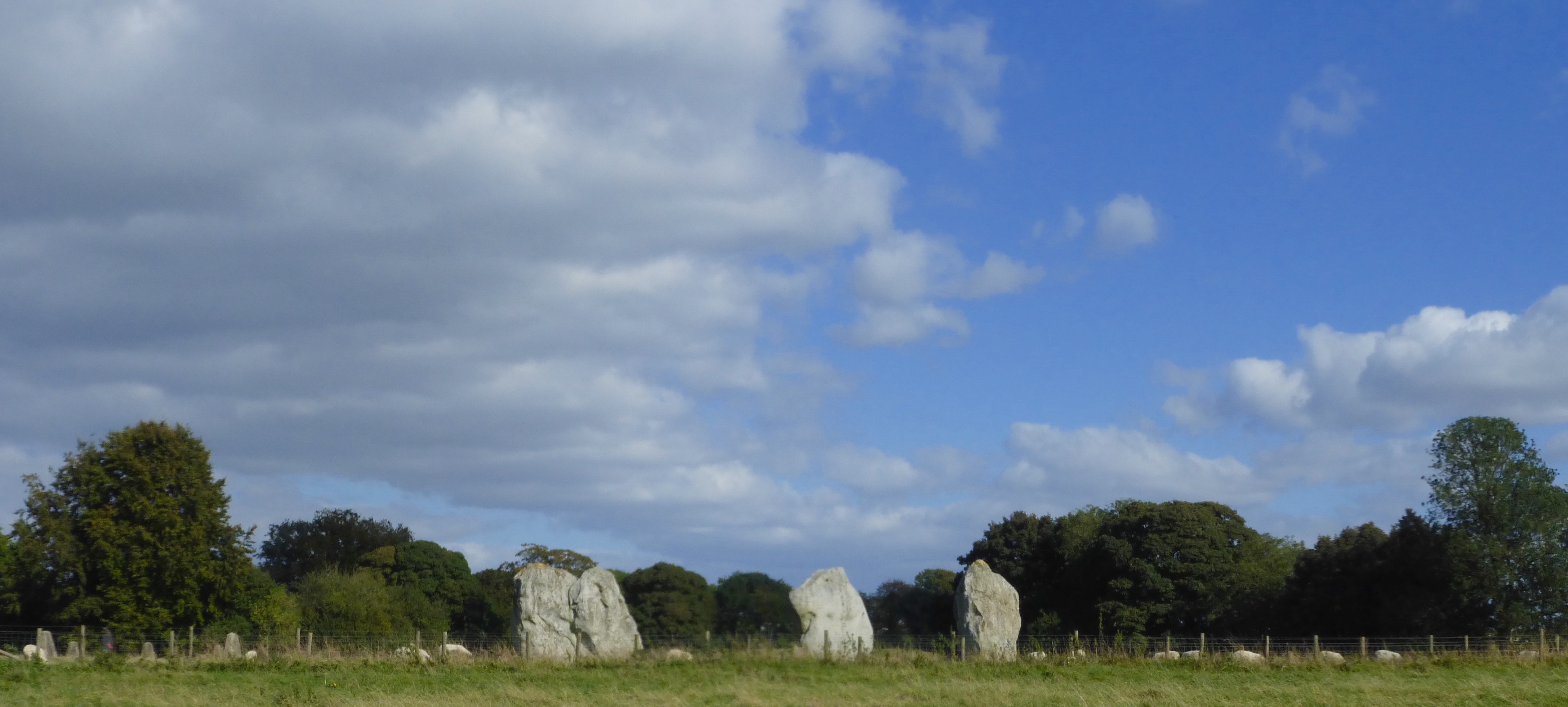
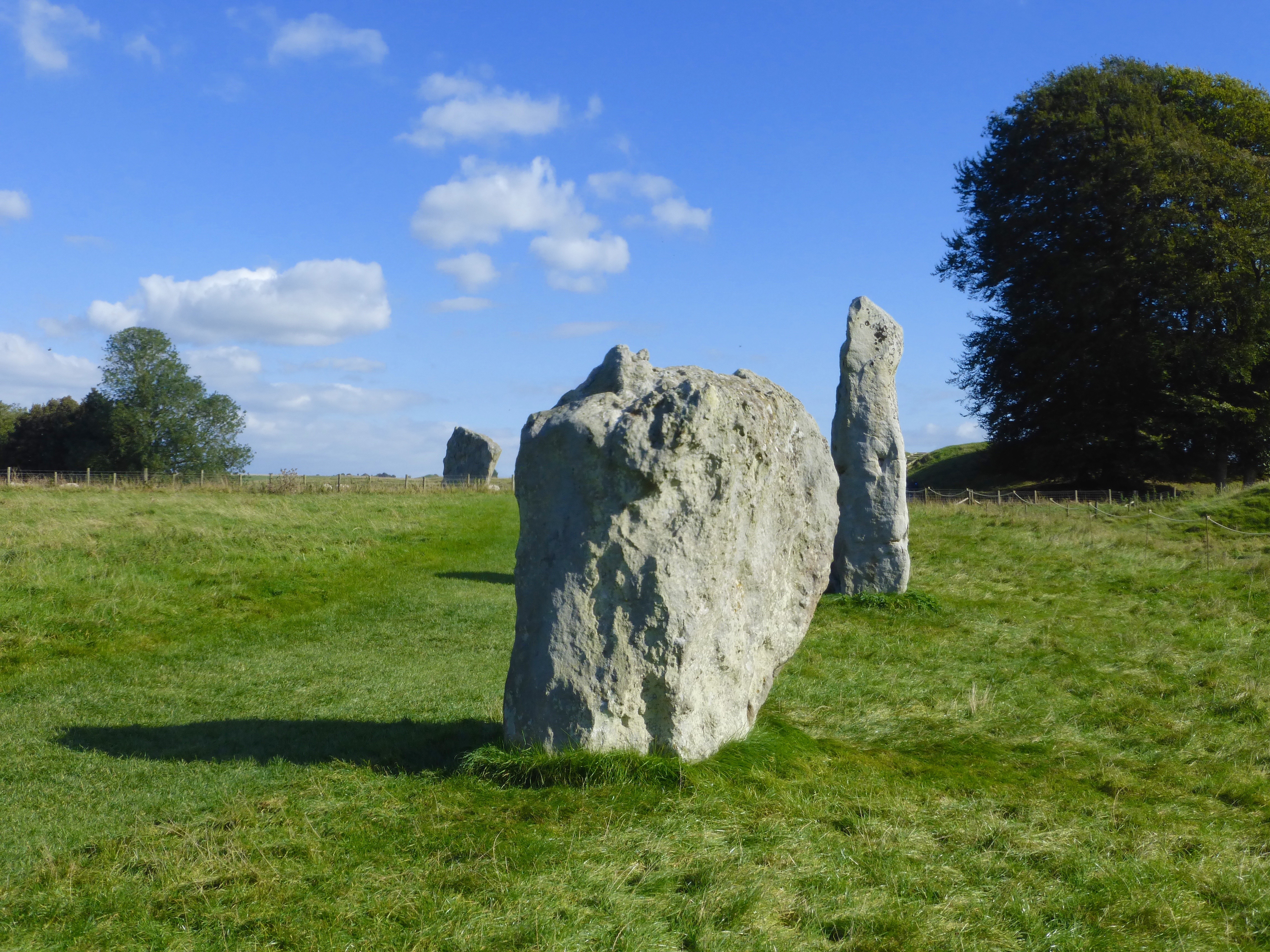
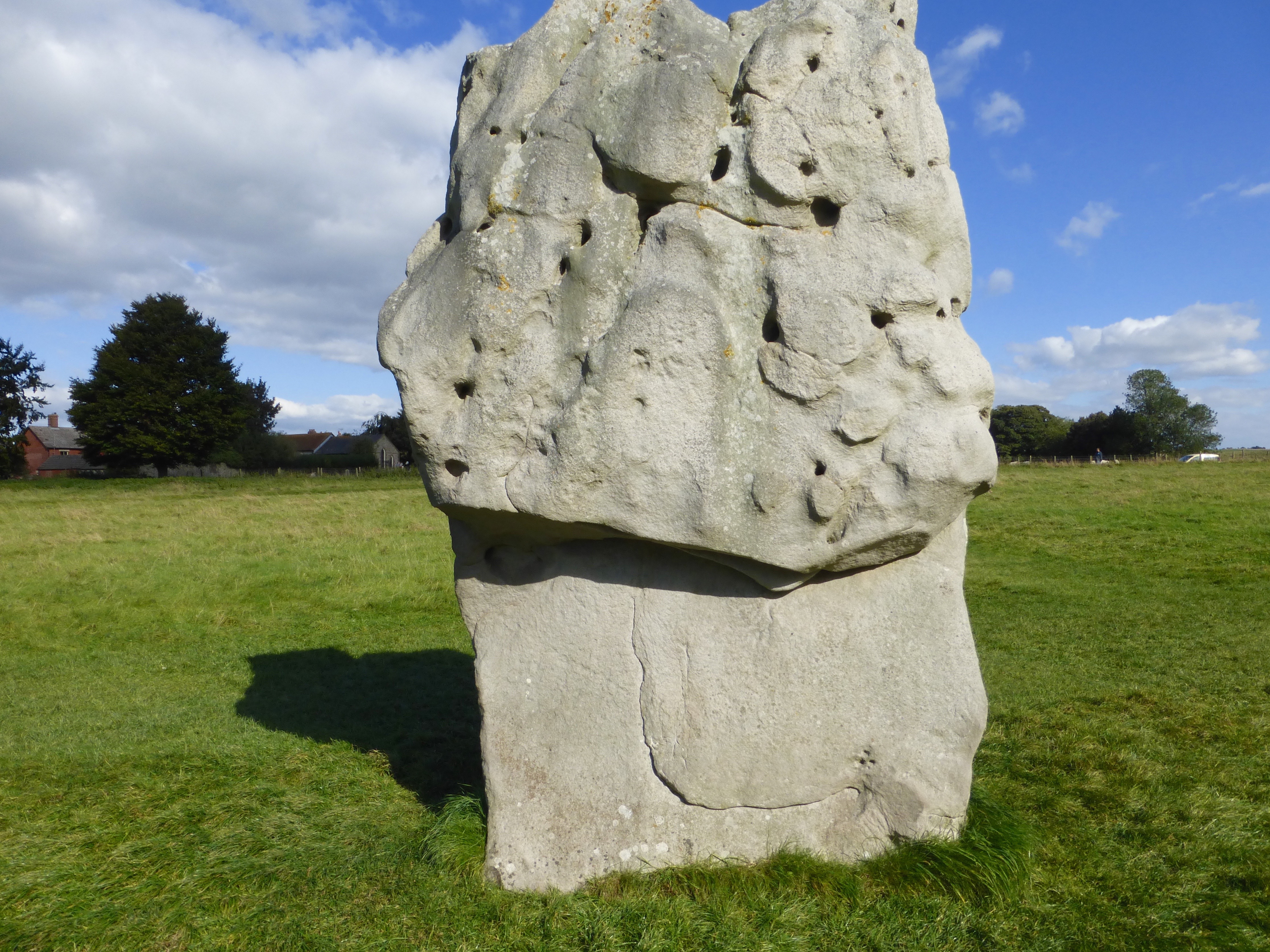
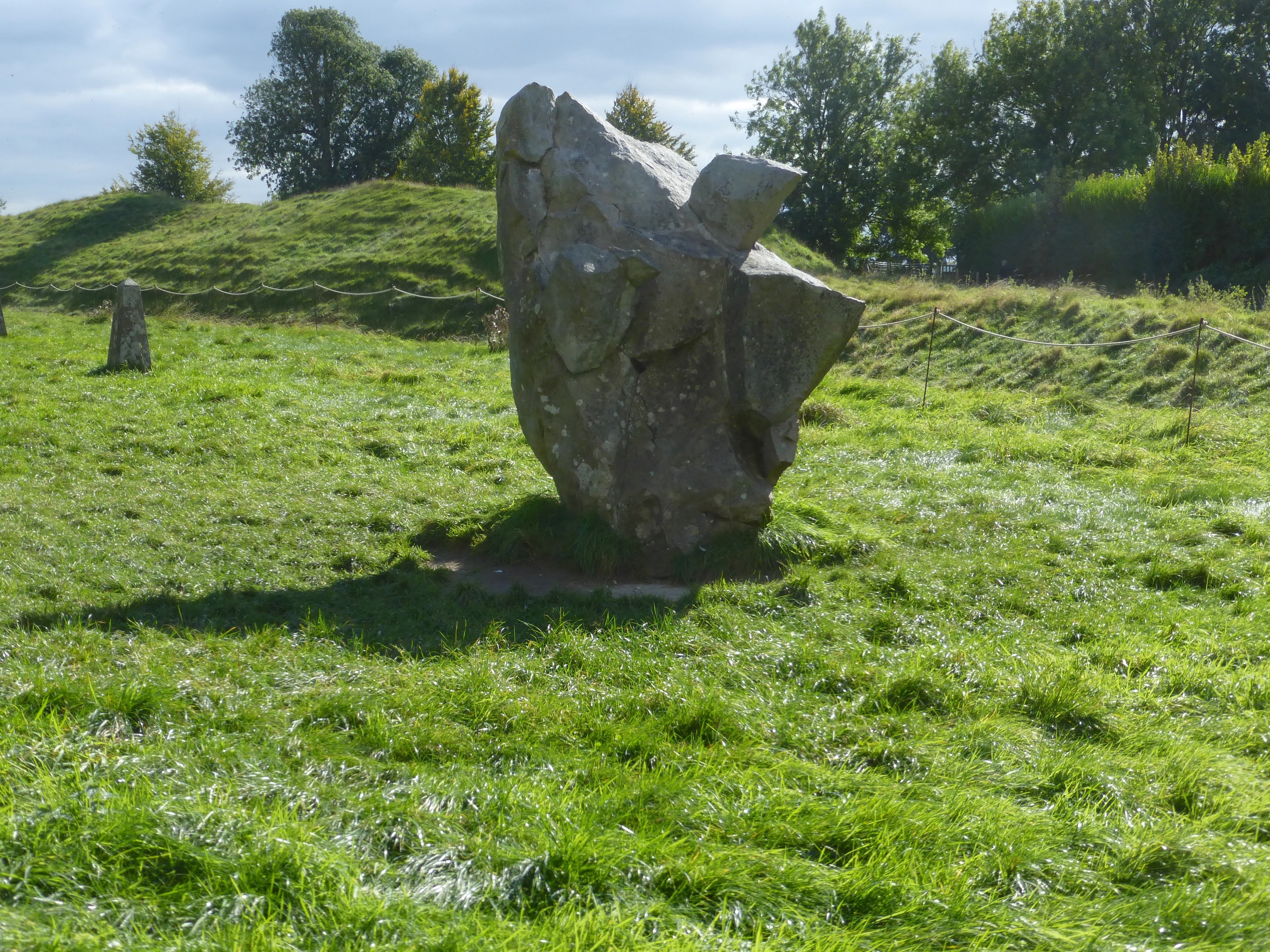
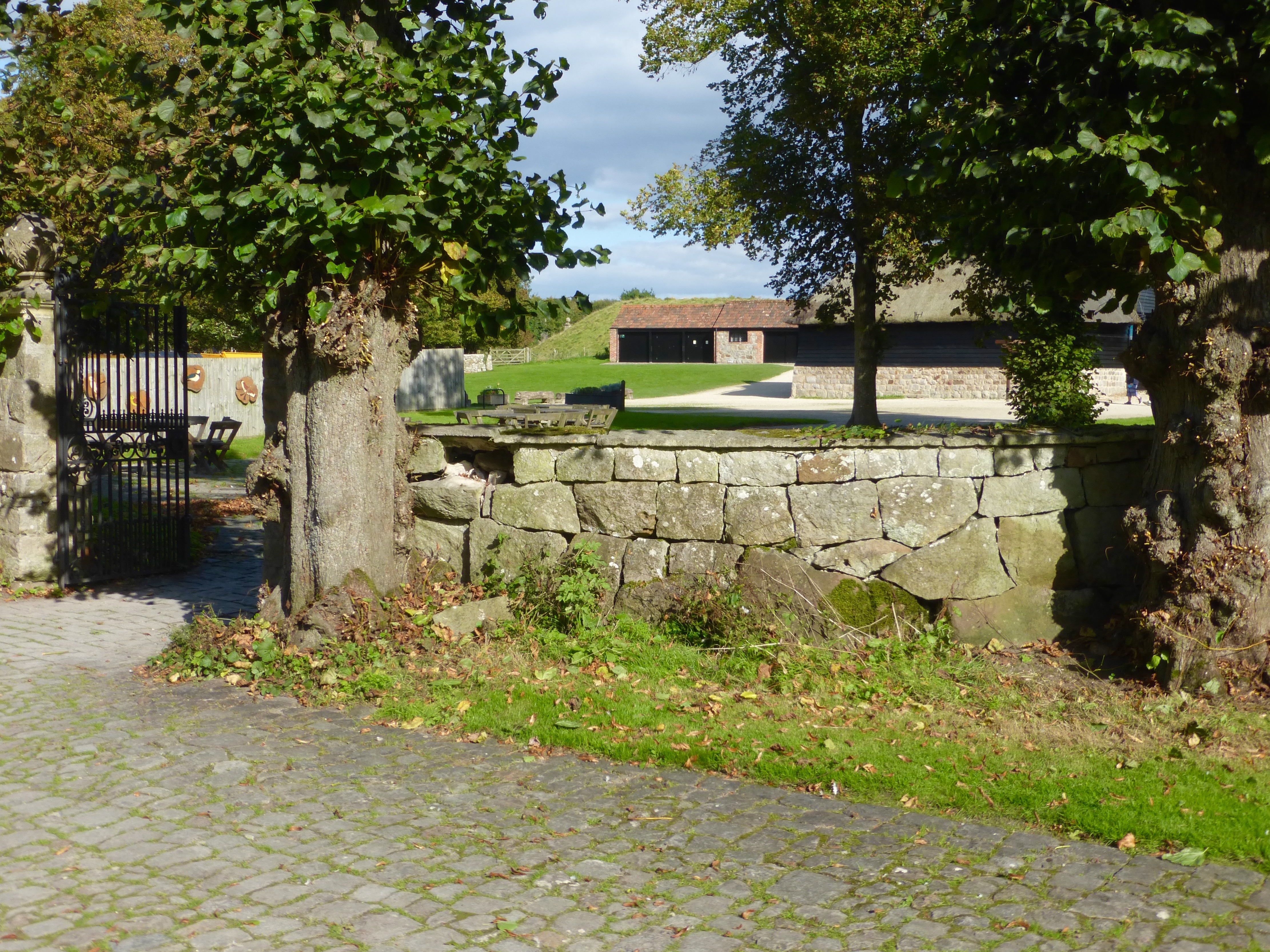
Descending to the Saab we continued to Avebury, where the stones [ca. 2,500 BC] range through and around the town more extensively, though considerably less massively, than those of Stonehenge and the pub was mobbed by a tourbus crowd.
No worries; we were well fed in the cafe and well-informed afield…
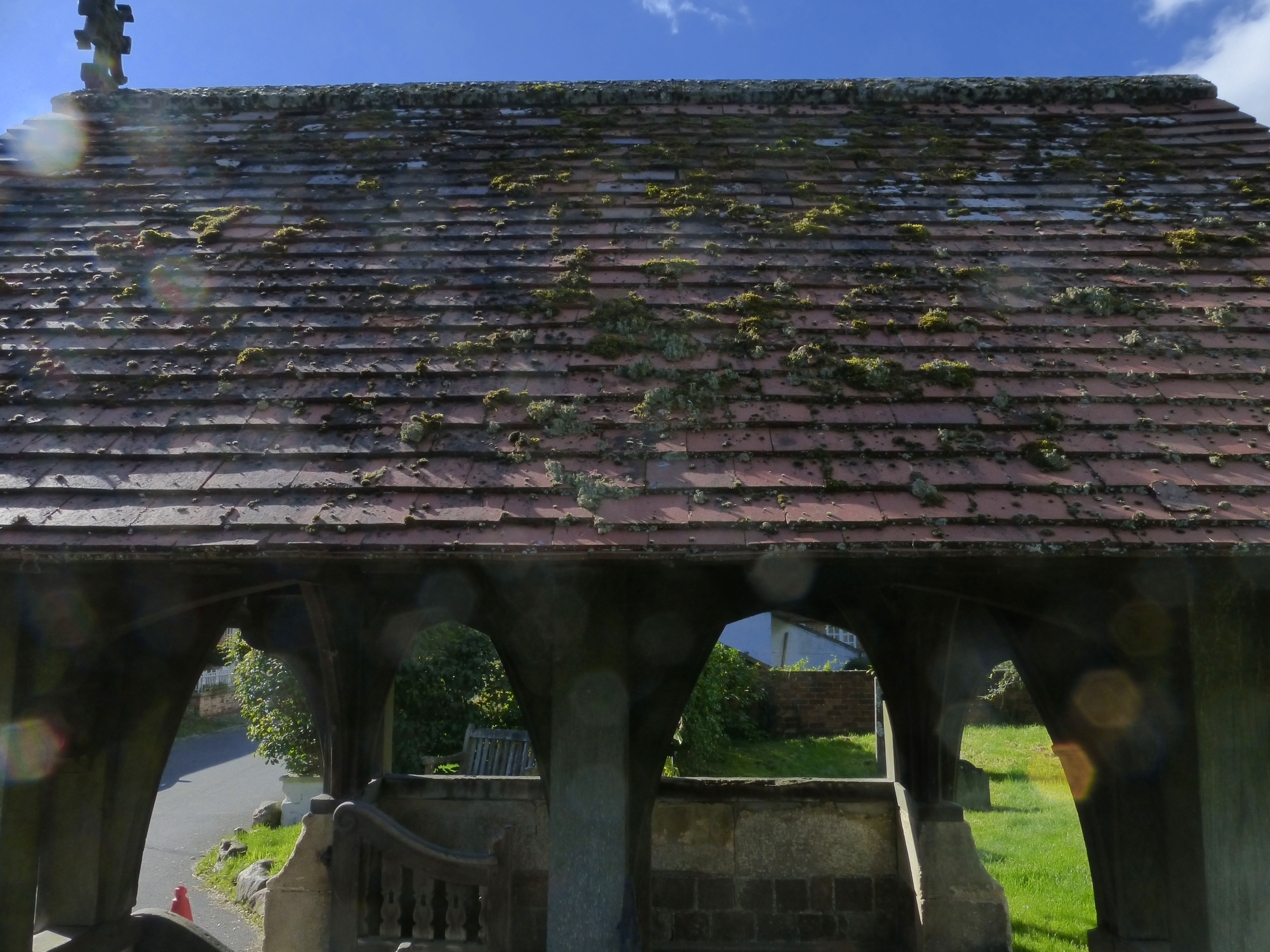
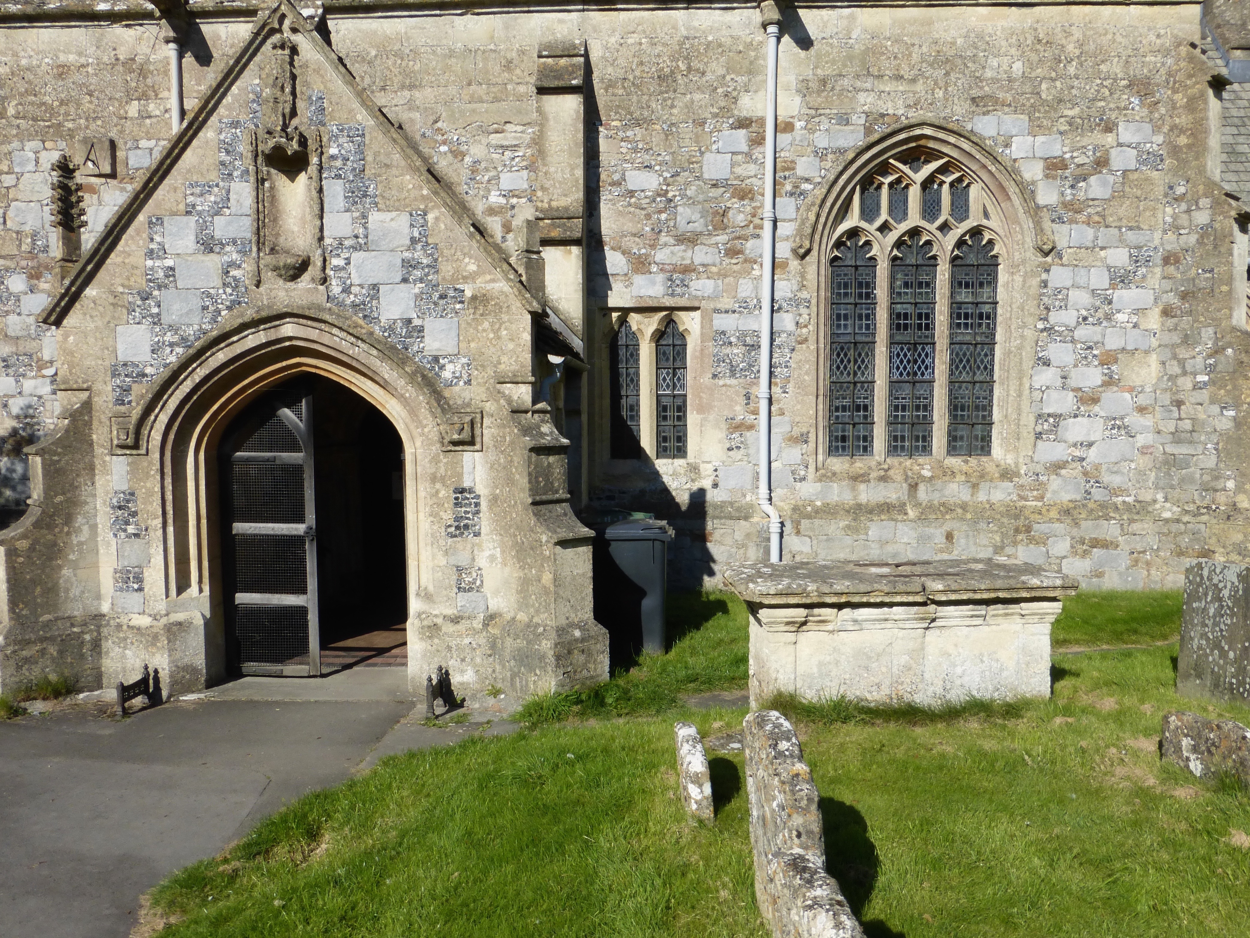
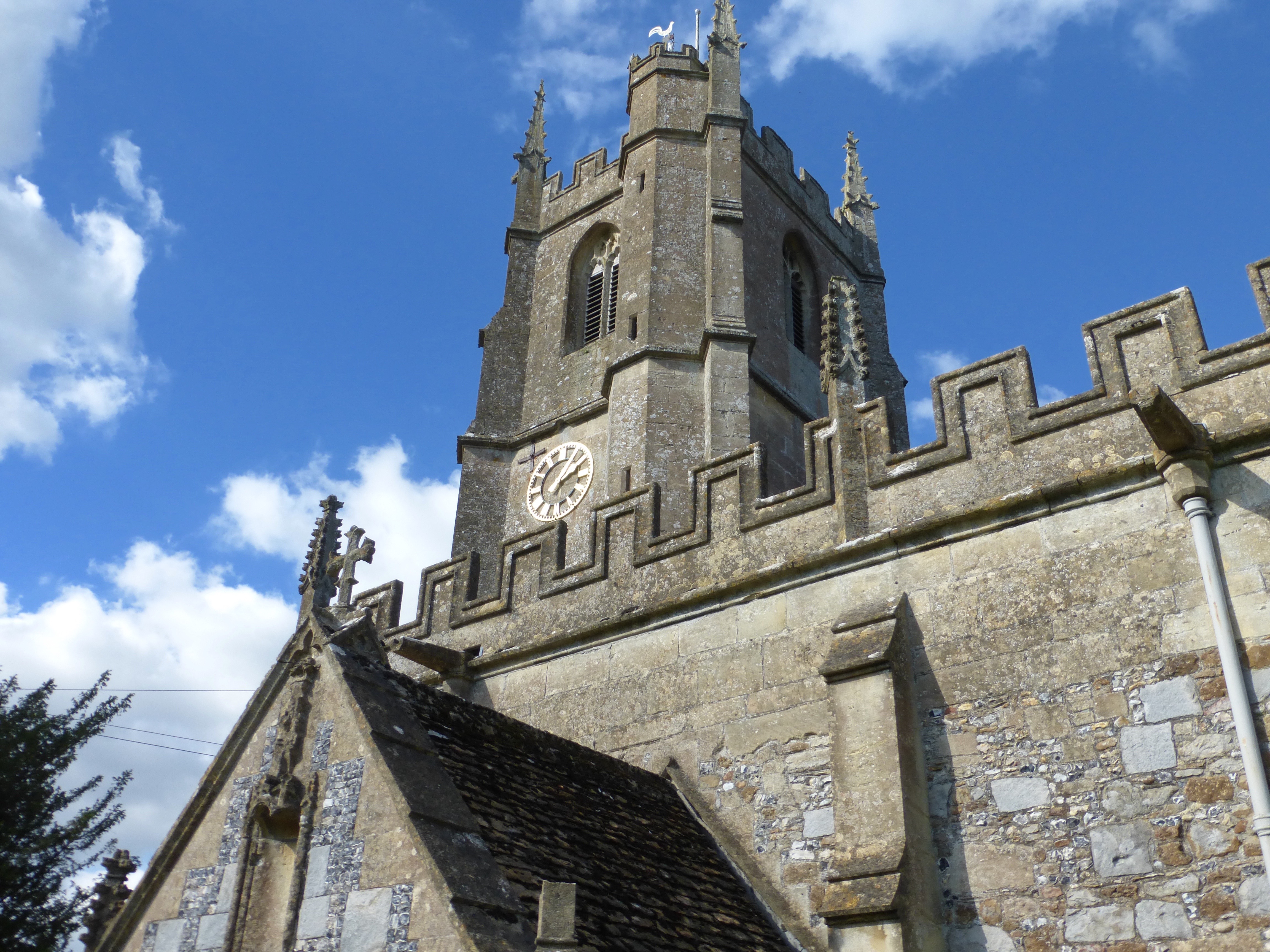
Back in the town we viewed the 11th century church [dogs welcome]
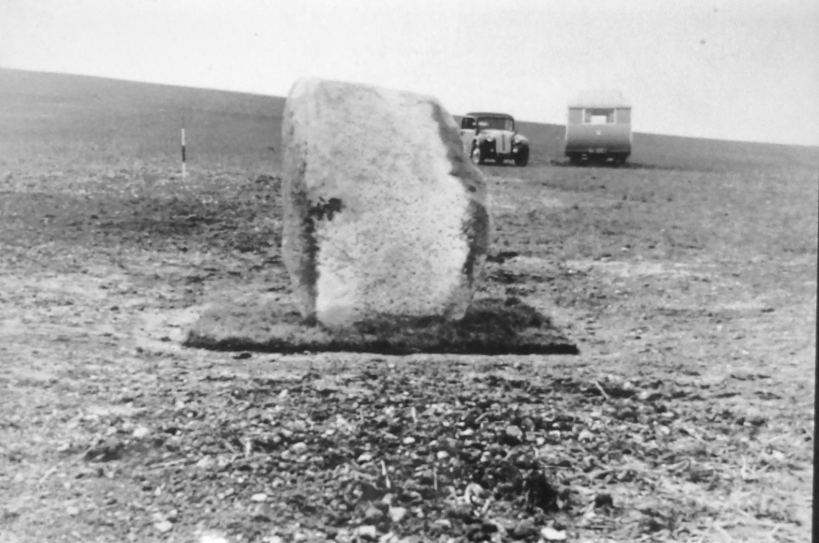
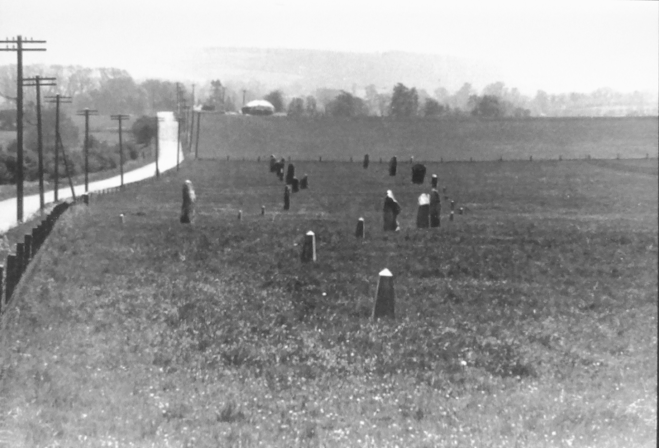
and a small museum
documenting the history, prehistory and excavations in the surrounds, an important number of which were made between 1925 and 1929 by Alexander Keiller assisted by his comely wife and sister-in-law, who also re-erected and restored many of the stones to their original positions.
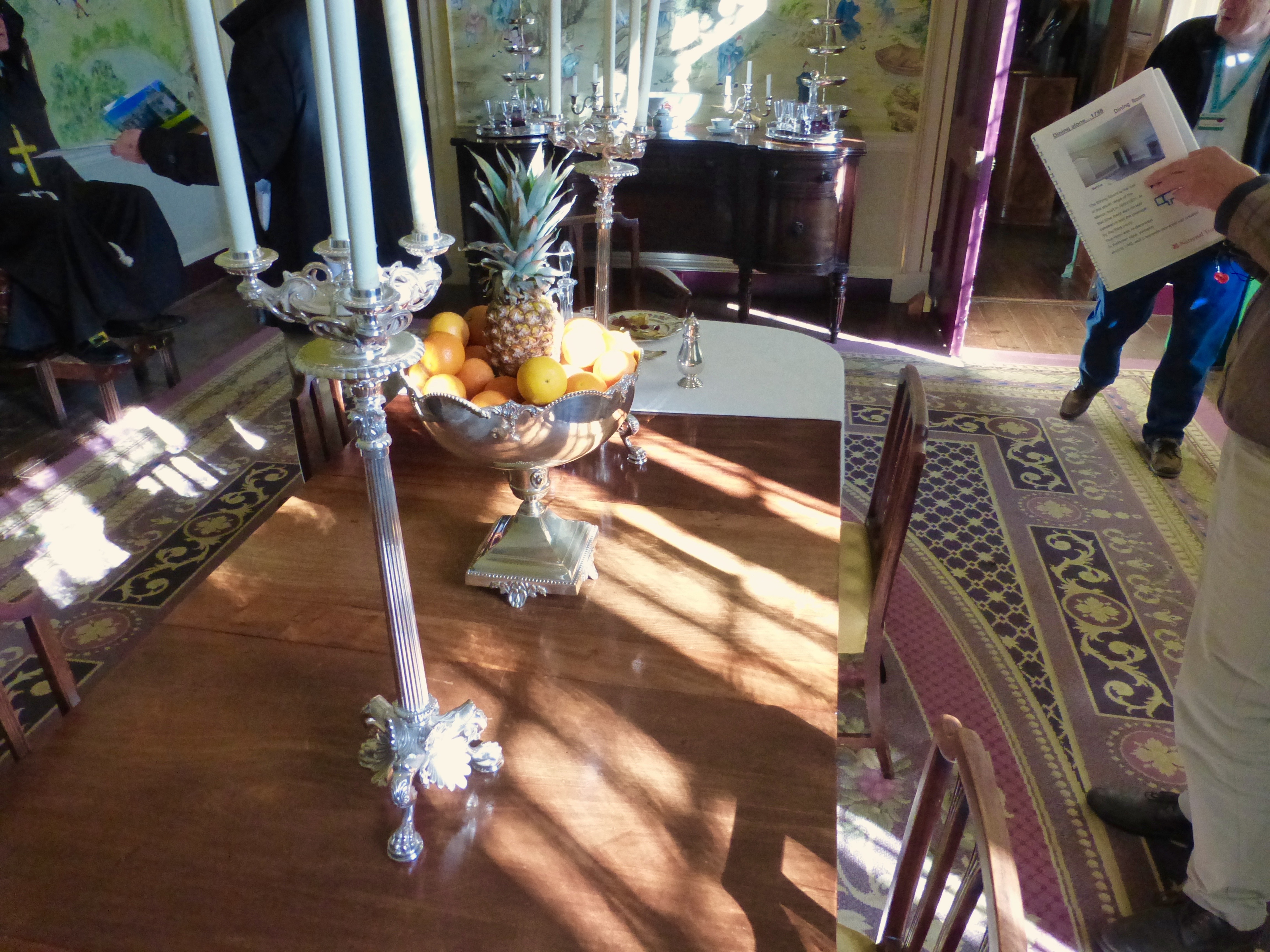
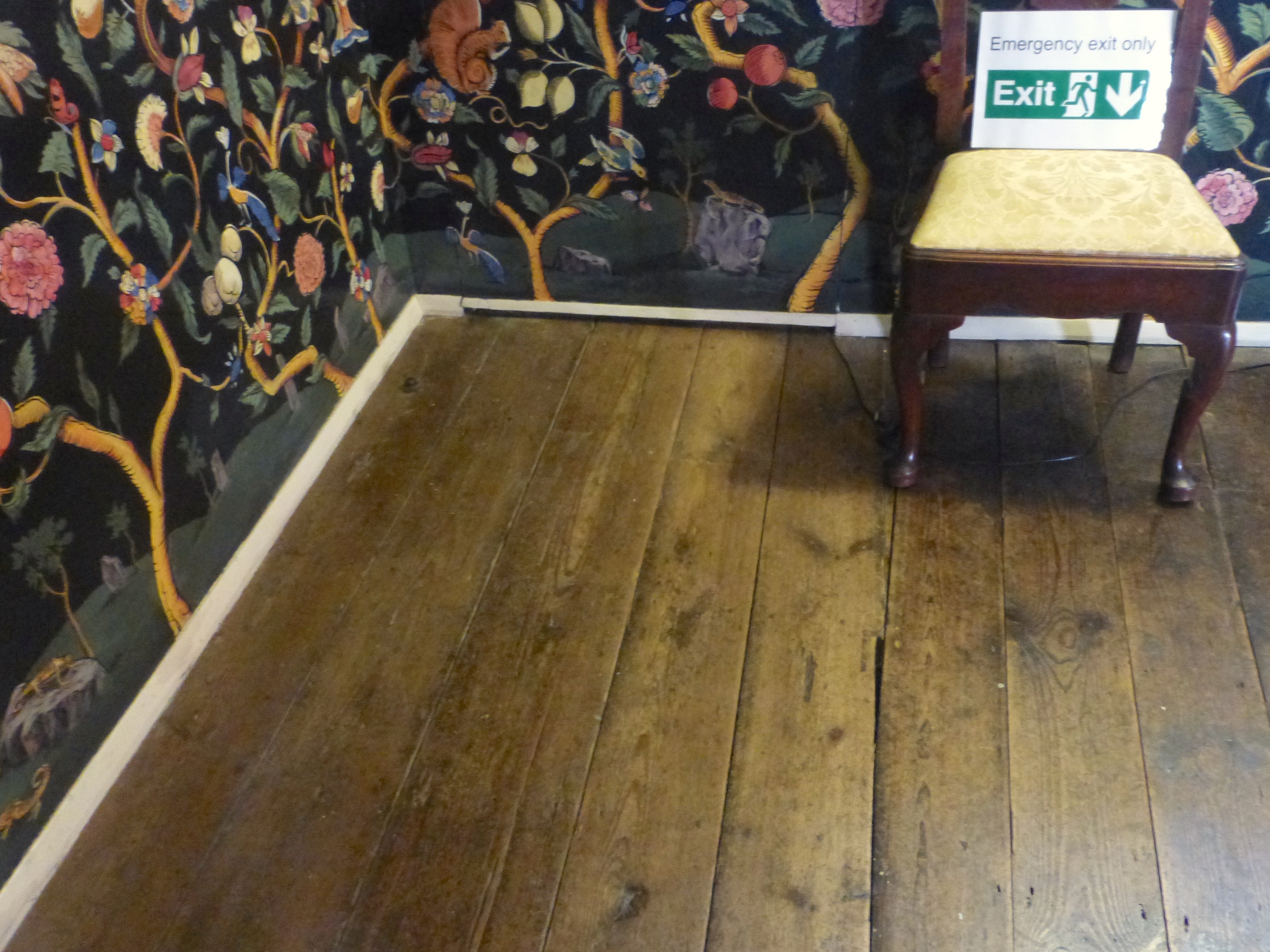
Avebury Manor, which we toured after mistakenly purchasing tickets, contained as seedy a series of “period” restorations as might be imagined [perpetrated, mysteriously, by the BBC], populated with volunteer guides straight out of Monty Python, most memorably one sporting a polyester monk’s habit in honor of some ghost or other…room unto room the decor became increasingly sparse
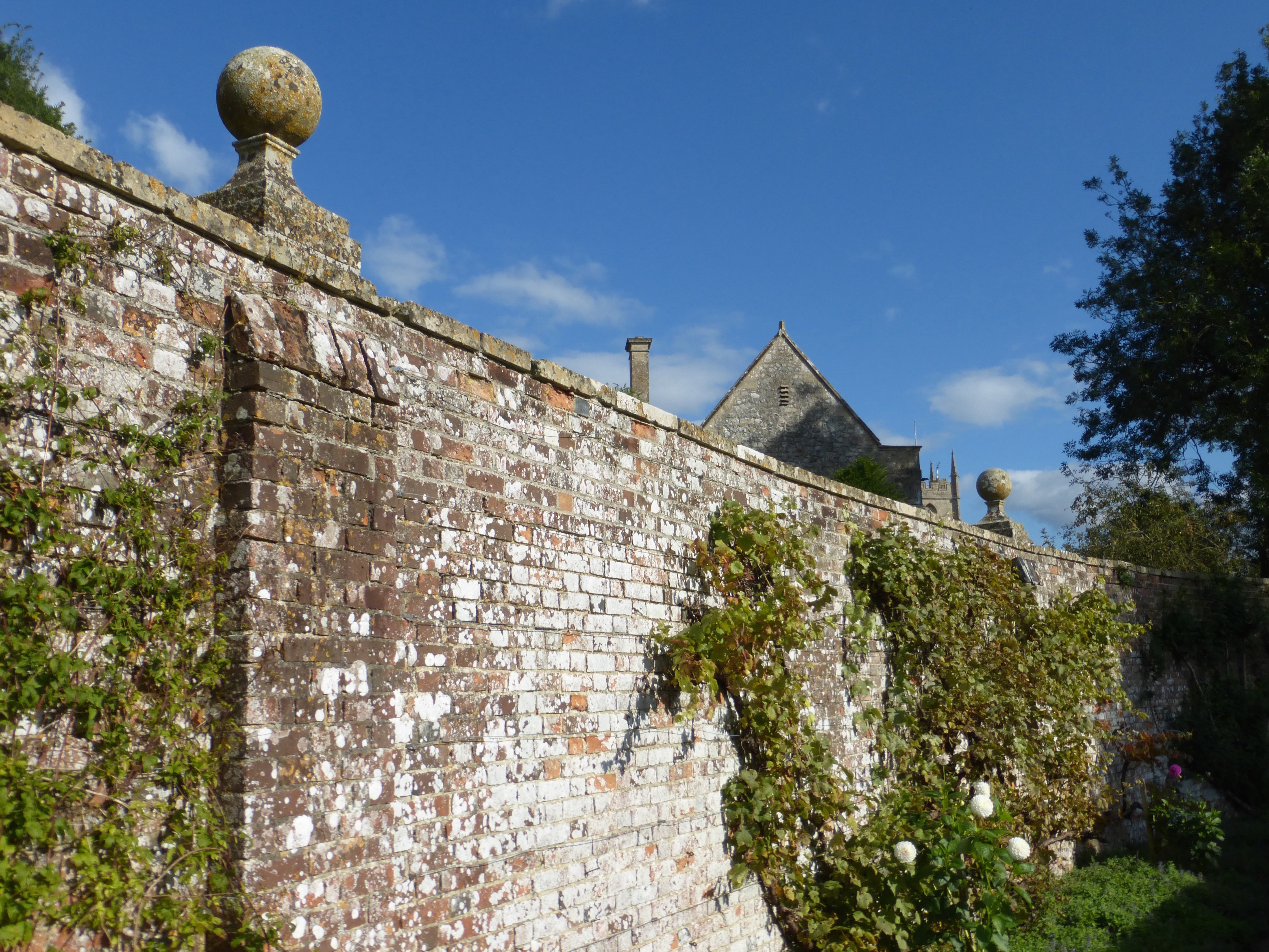
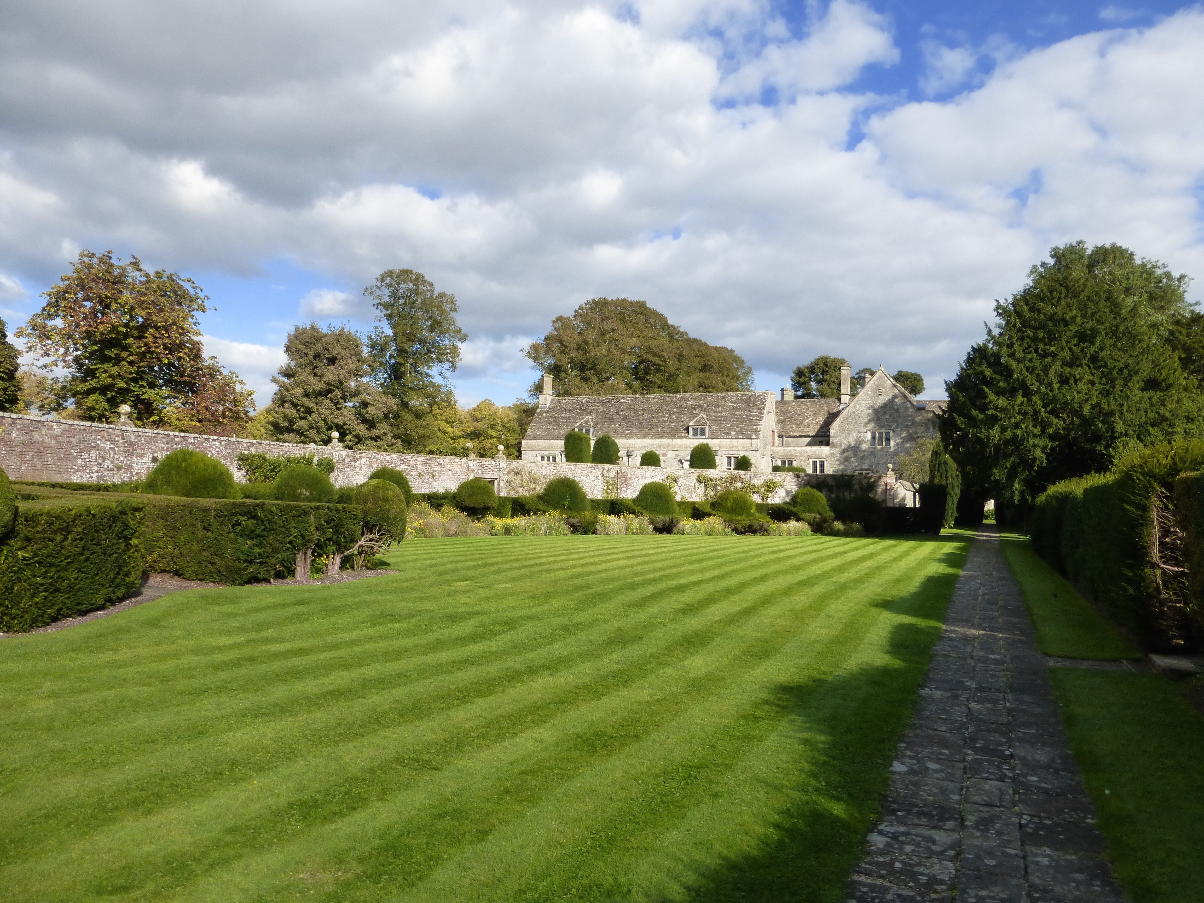
but outside the gardens were more happily cared for.
Moderately enlightened, endlessly amused, we made our escape, with apples.
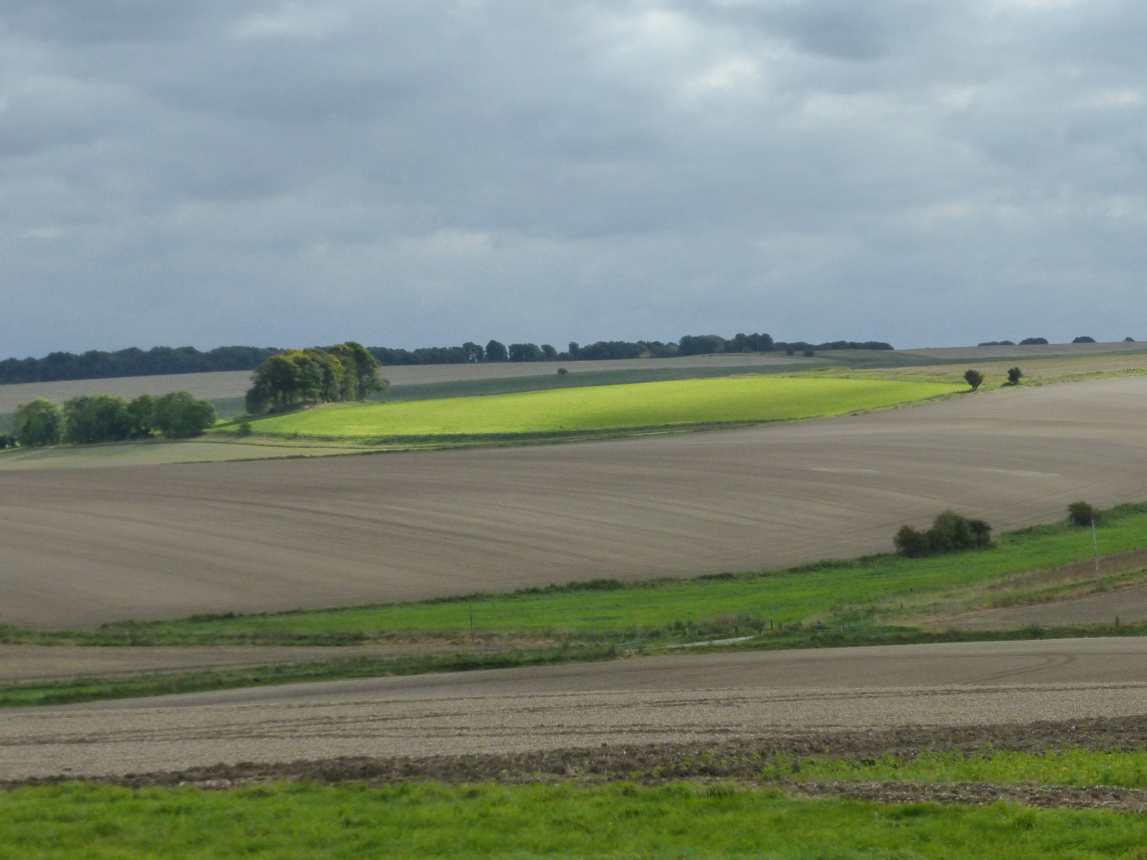
After abandoning, to the relief of my feet, a walk to Windmill Hill we motored east and south, skirting the Royal Artillery’s ‘Danger Areas’, through Honeystreet, Hilcott, North Newnton, Upavon, West Chisenbury,
New Town, Netheravon, Alton, Hackthorn, then west through the Army town of Larkhill and, after a bit of confusion at the Rolleston Camp junction, located Shrewton and Rollestone Manor.
Our home to be for two nights…
along with, first evening, the Great Bustard Group, in town for their monthly meeting. My wife was skeptical but once convinced that, yes, Great Bustards exist and are in need of a Group’s protection we enjoyed a most informative conversation in the drawing room concerning these large [and most likely, given their extirpation, tasty] airborne opportunivores, formerly native to the region and still thriving from Portugal to Siberia.
We subsequently dined happily on a rich [sans bustard] cassoulet, after which the Bustardians convened in an adjoining room…
but later extended us an invitation to visit their aviaries at nearby Rollestone Camp… unfortunately our Tower Tour of Salisbury Cathedral conflicted so we regretfully declined.
Retiring to our rooms upstairs, Rick in the Lady Harriet and we to the Sir Nathaniel [which had a very nice shower] the night ended quietly, redolent with the smell of fresh-cut grasses.
[Selfies were of a much higher caliber in the 18th century…]
M

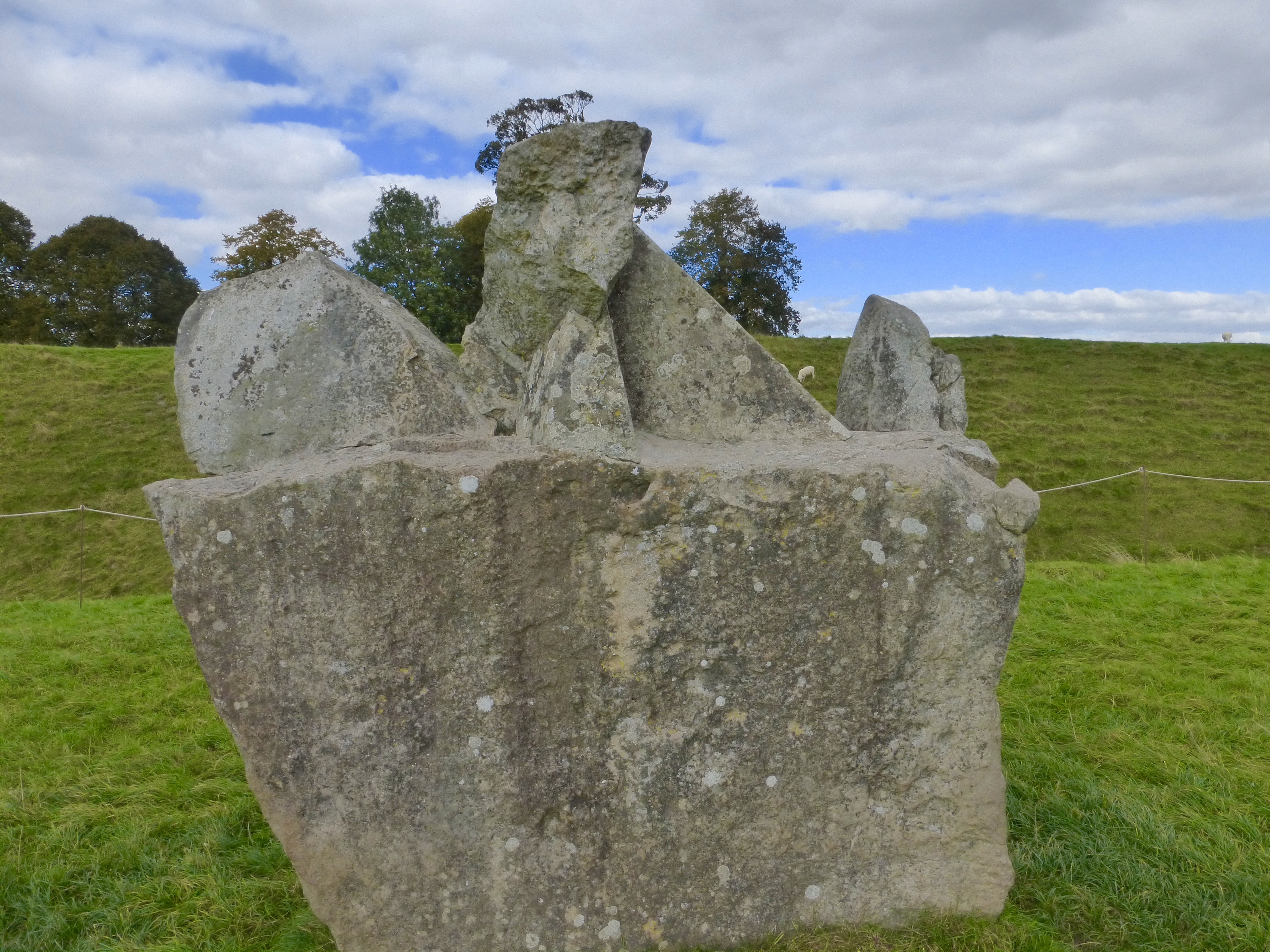
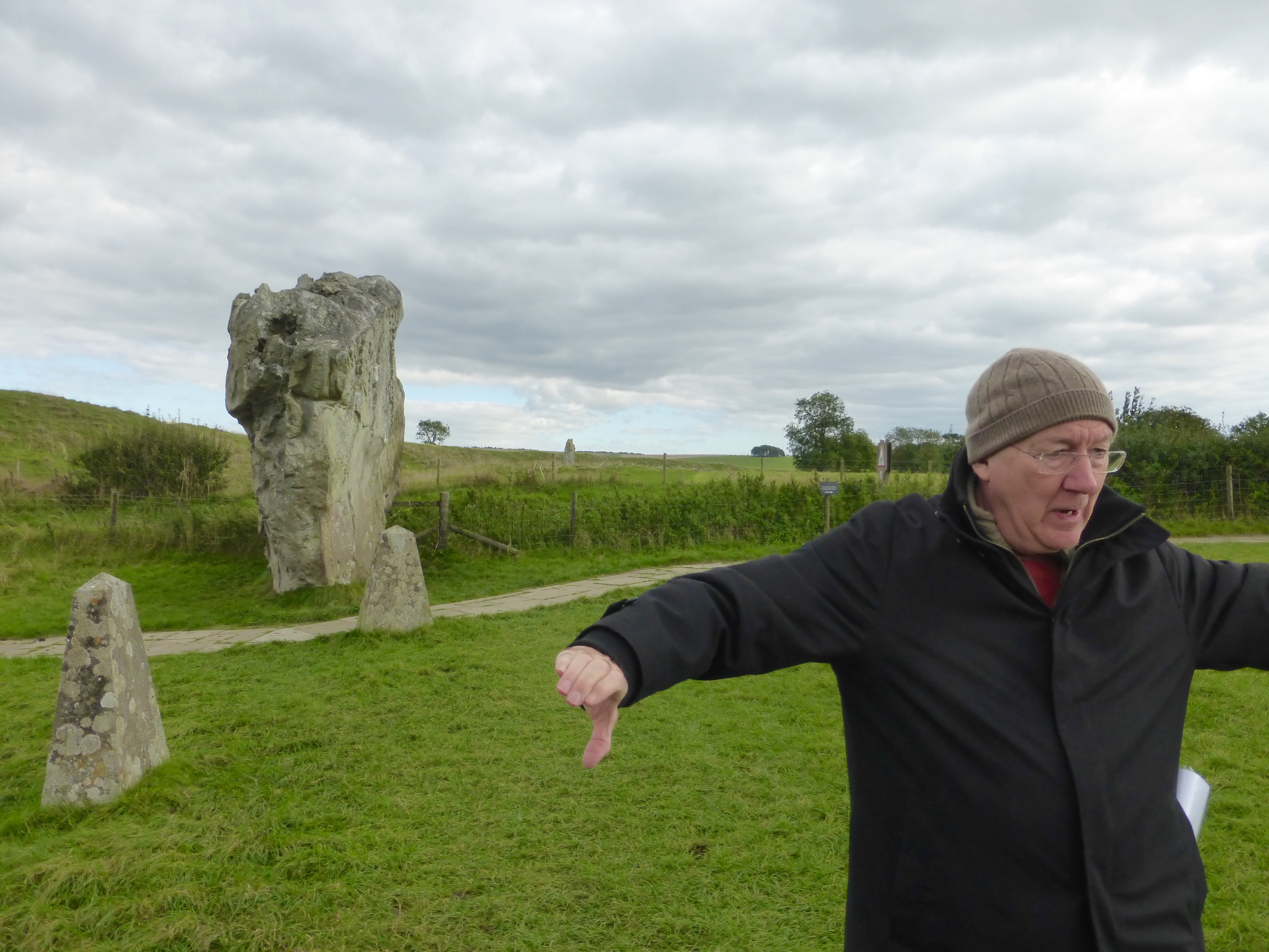
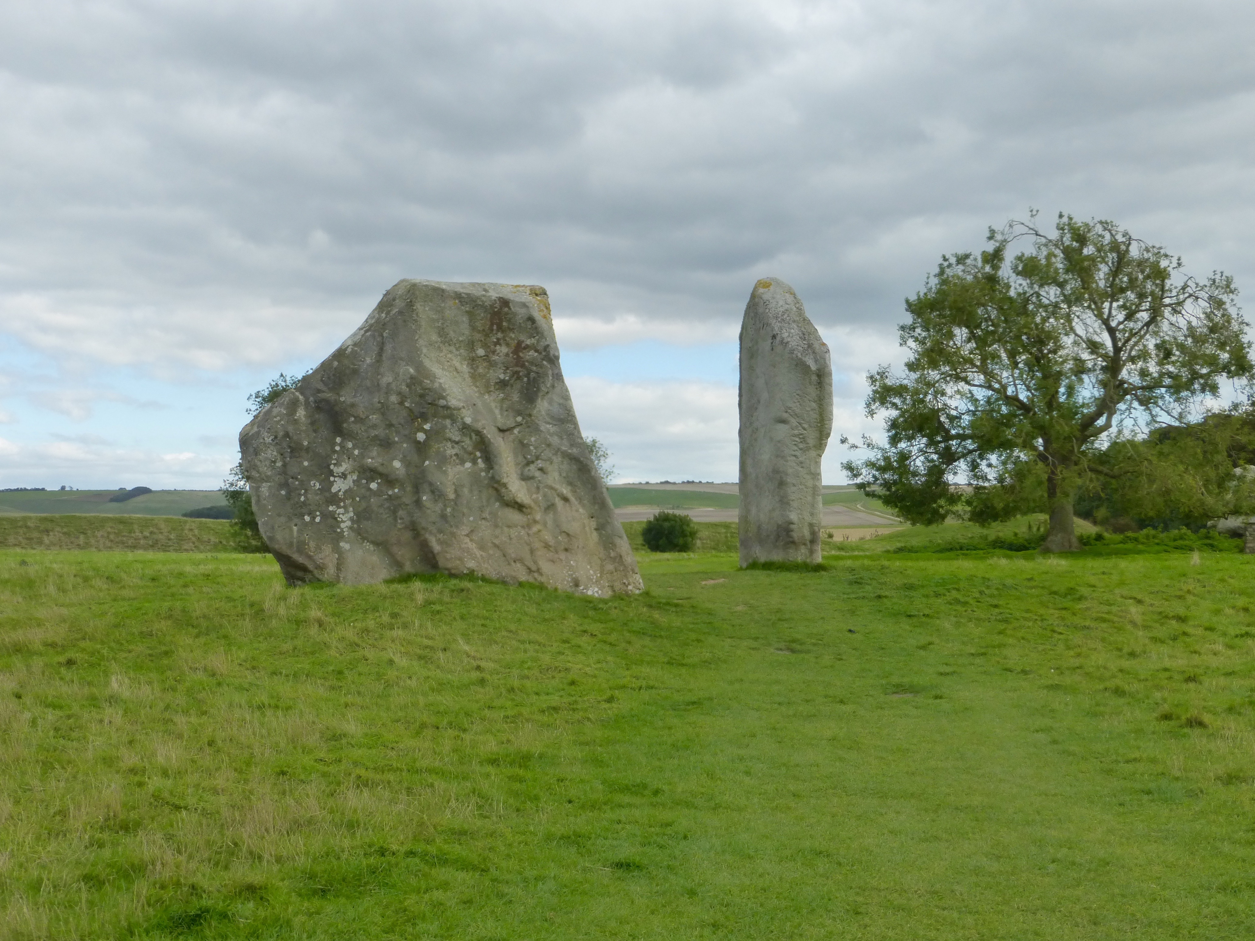
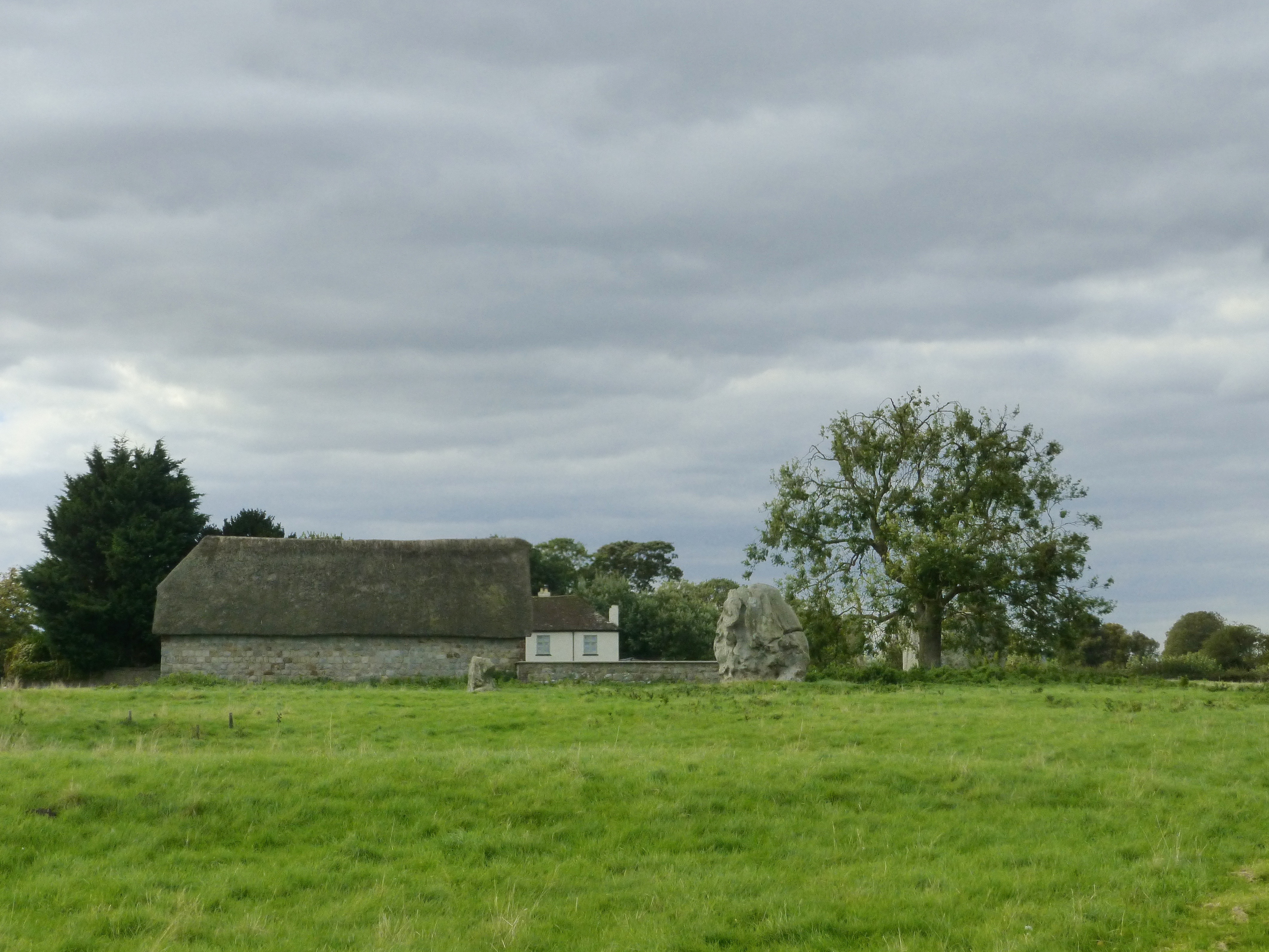

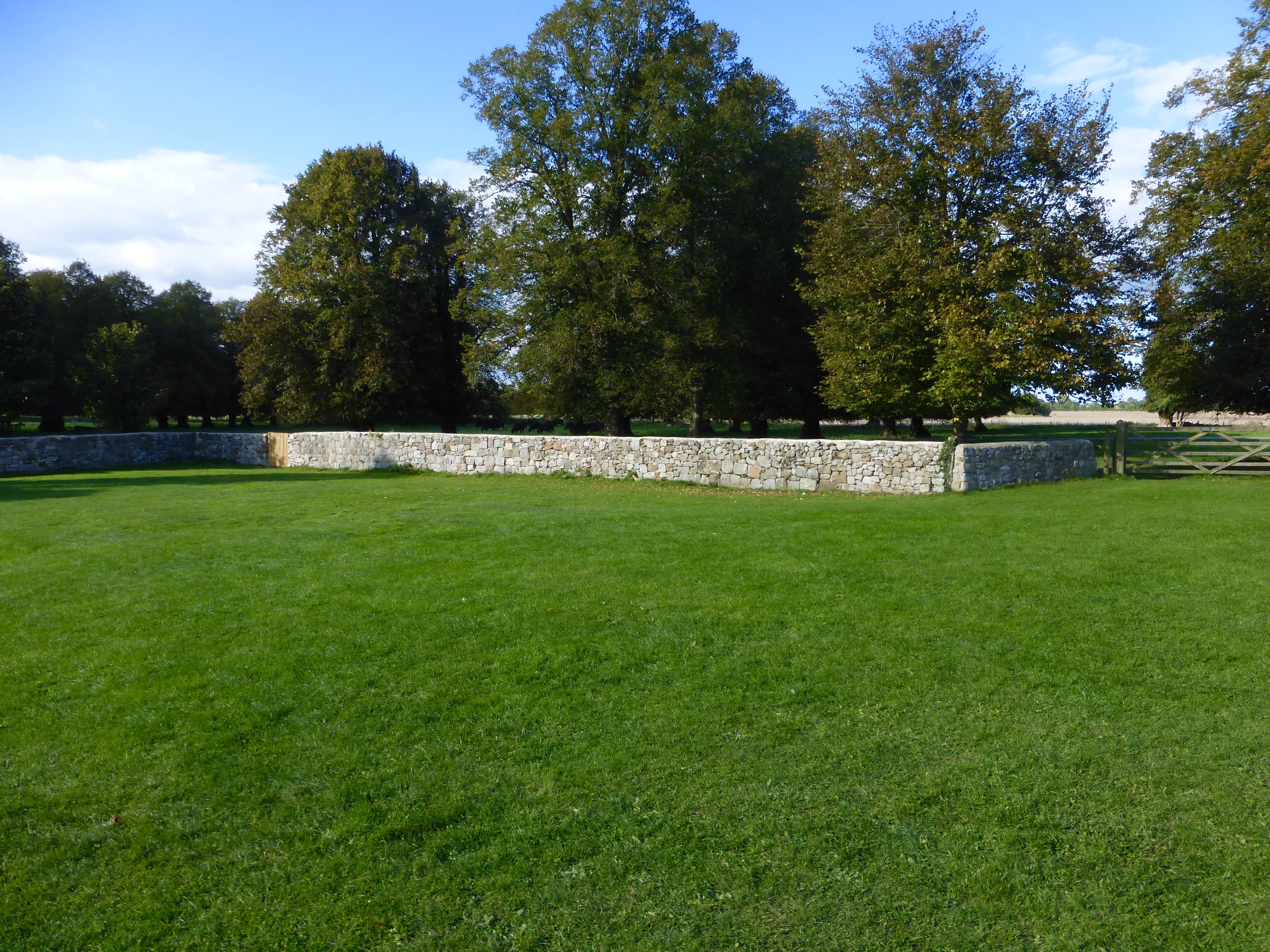
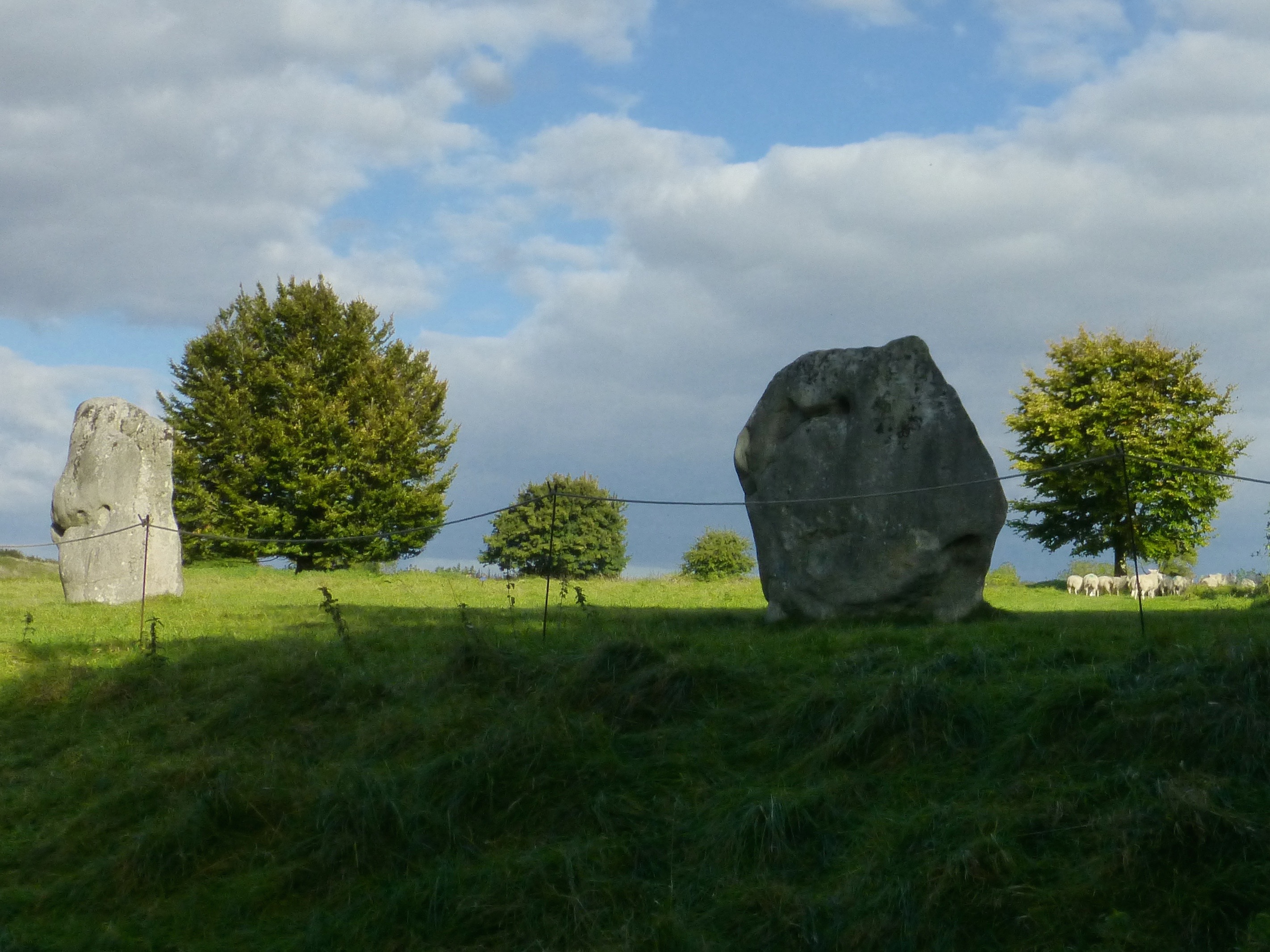
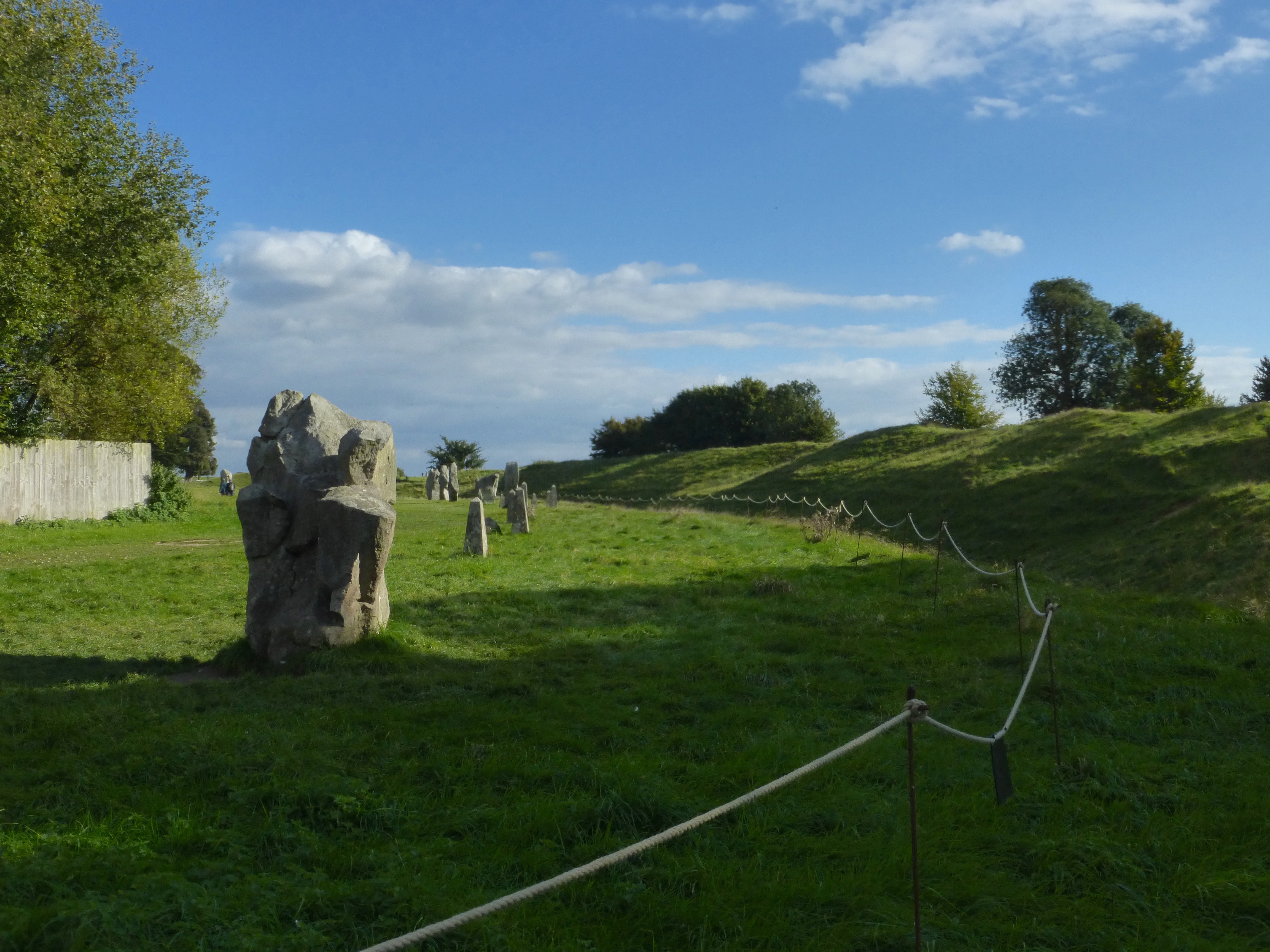
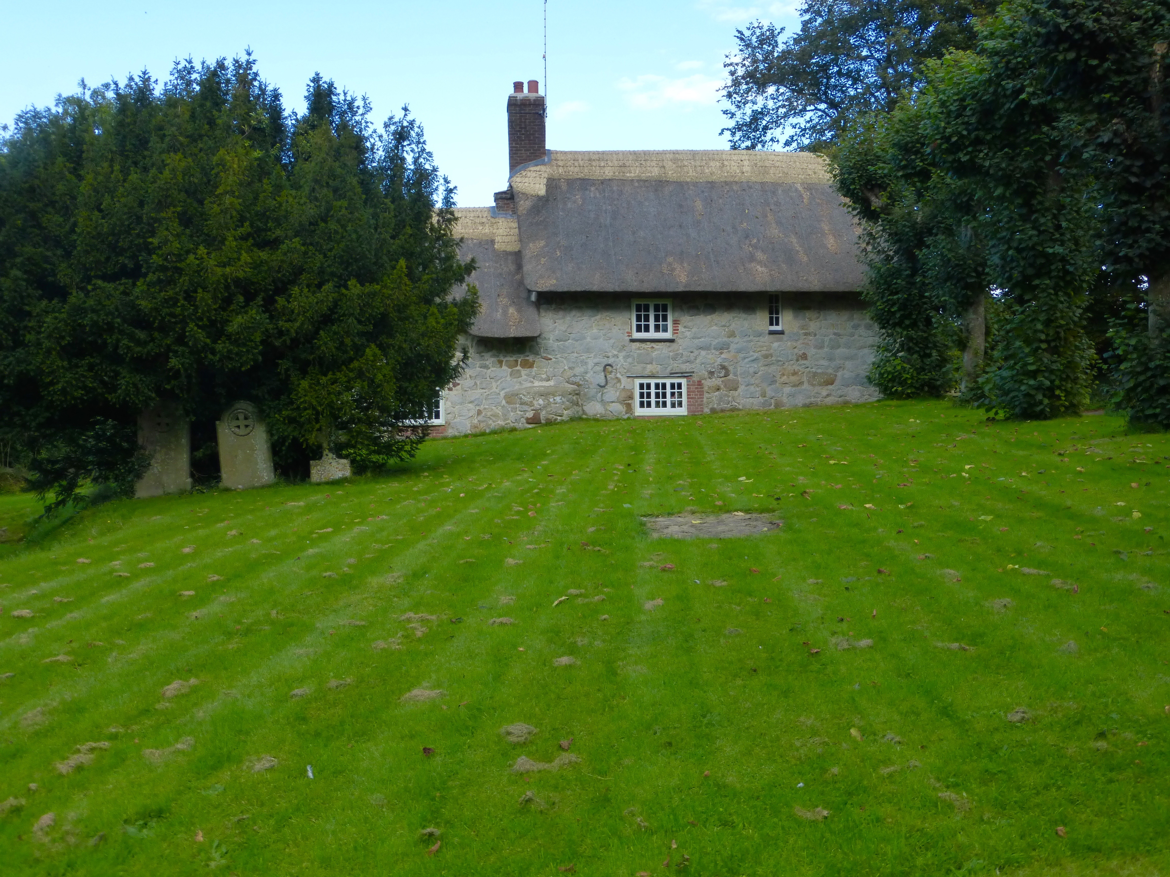
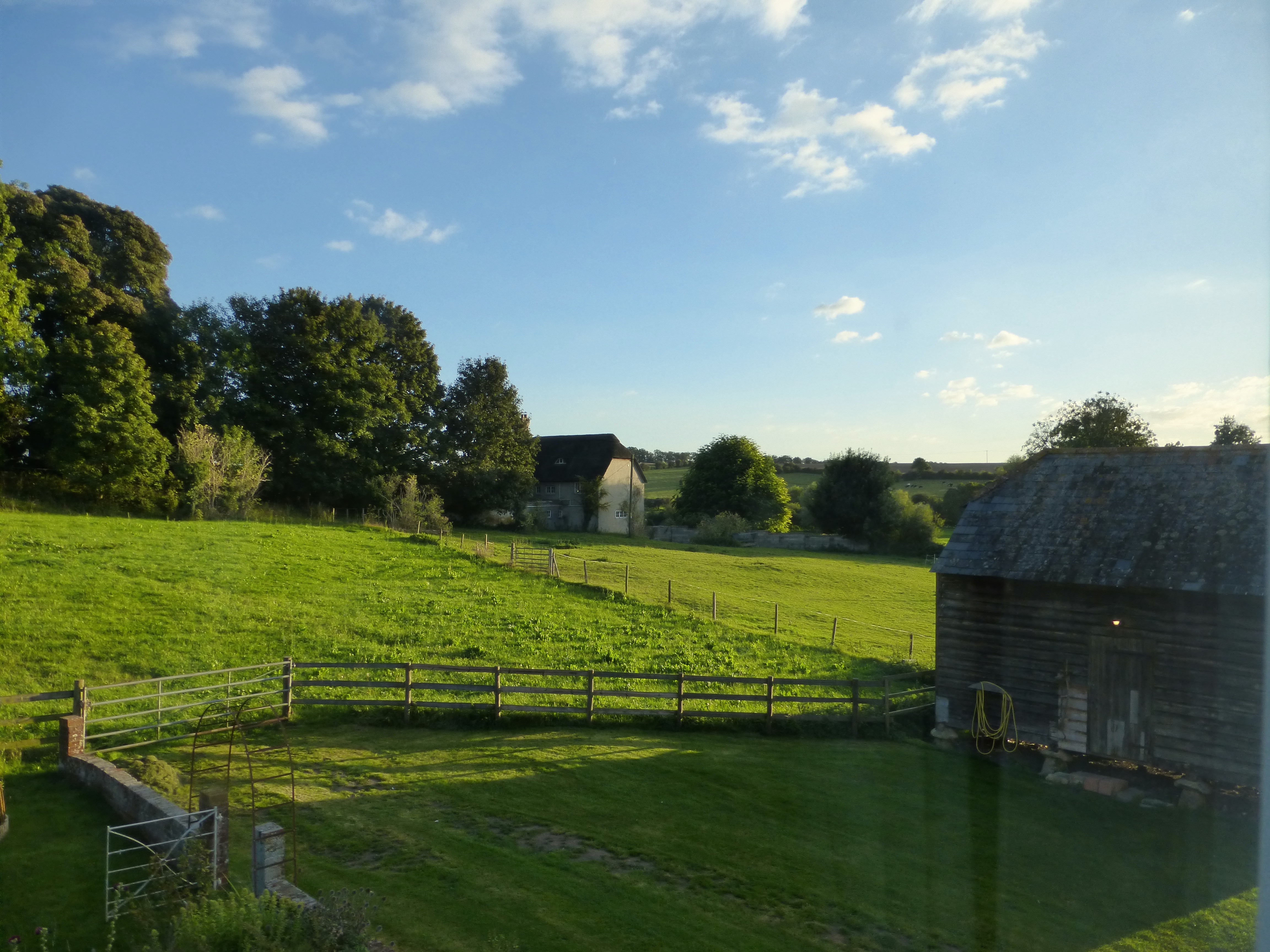
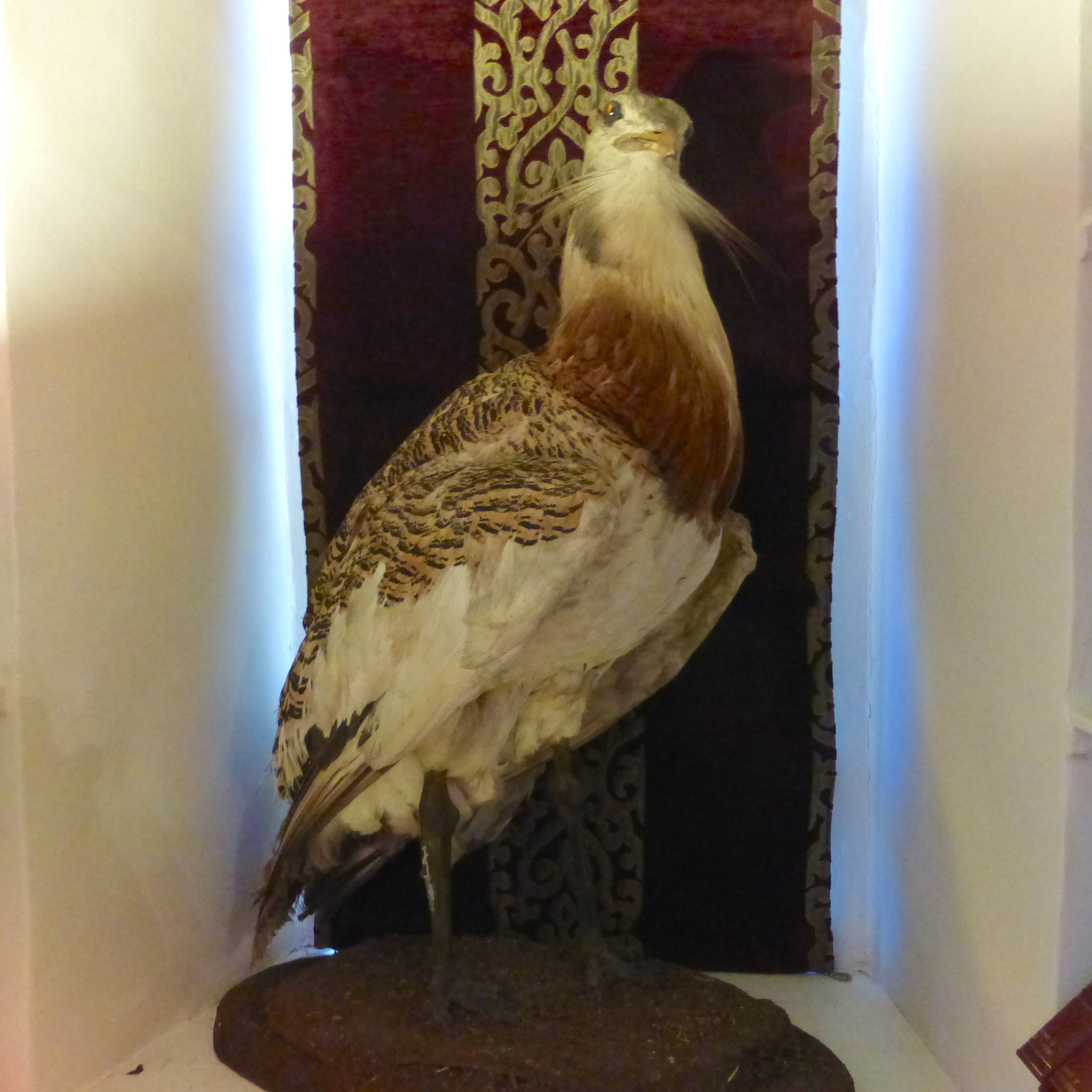
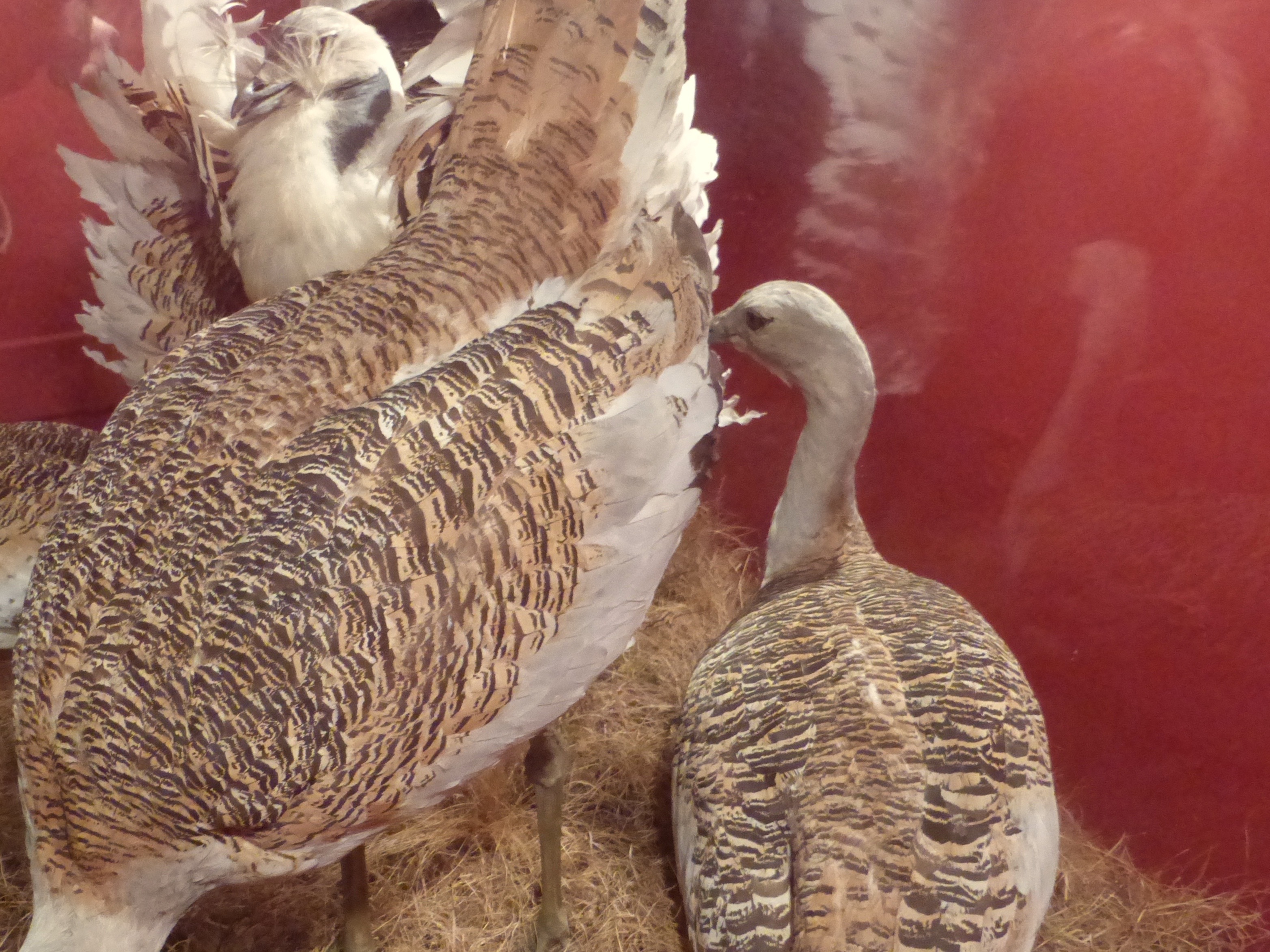
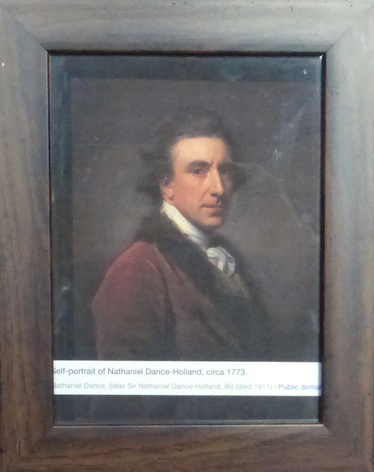
Quite a romp in the country with ancient rocks, bustards and those high-caliber selfies!
Sorry to hear about recurring sore feet….hope they are better now.
Oh yes, I did this circuit in the mid 90’s and this brought back so many memories. I was impressed by Stonehenge, but the Barrow, Avebury and Silbury hill were a revelation. I snuck on to Silbury Hill, the largest cairn, and I don’t think you can do it any more. It had just been Solstice, so the remnants of celebration were apparent at Avebury, unfortunately in the form of graffiti on some of the stones. All really wonderful!
No graffitti now, but, unlike your knowledgeable self, without our trusted guide we never would have known…and yes, Silbury Hill is now inaccessible to the public, but being able to just trek away from a turnout on the roadway and step into a neolithic barrow unimpeded was definitely something that couldn’t happen “here”.
Looking at the photos, I am there. But also jealous that I am not.
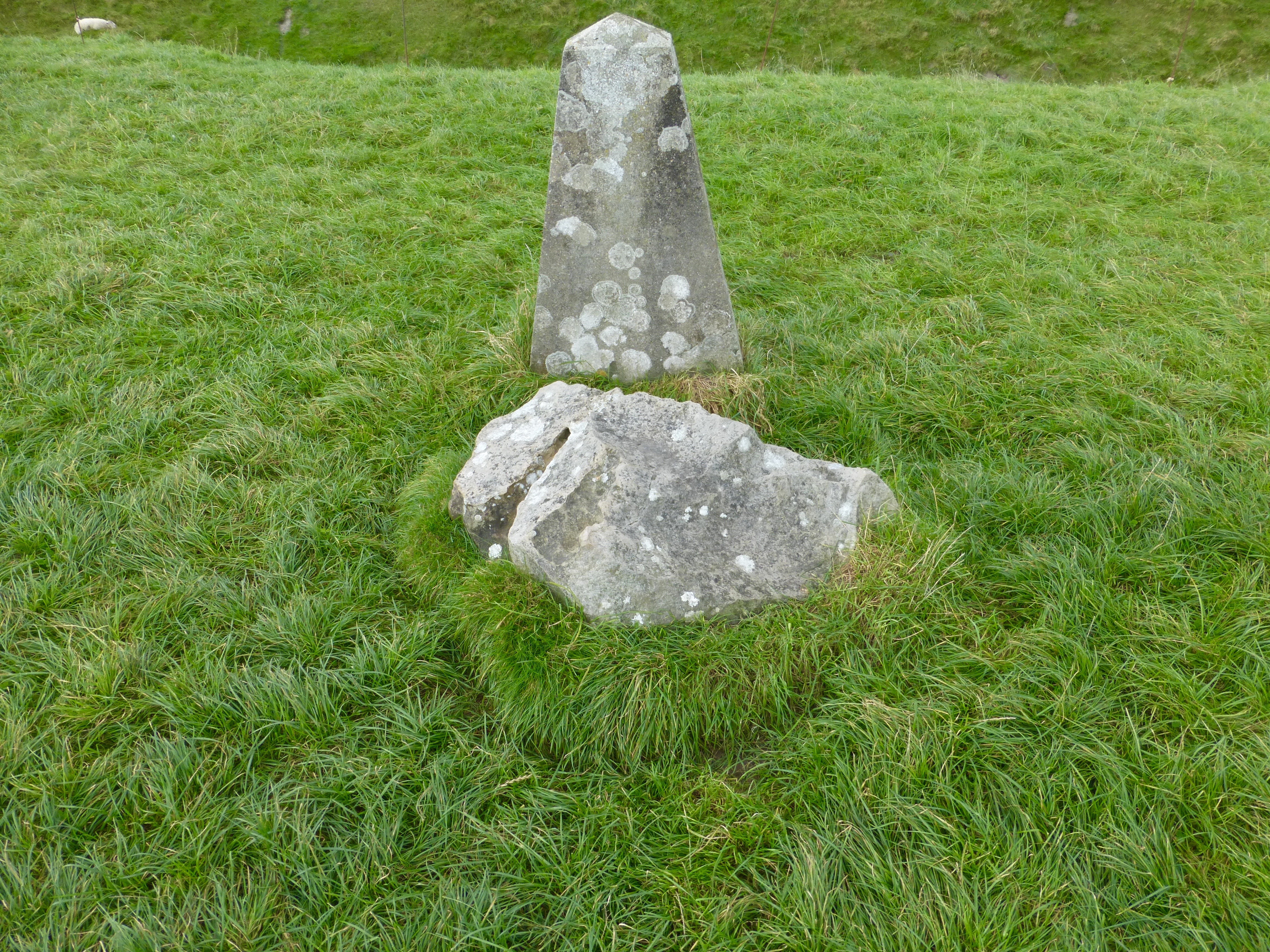
Great photos as expected, Micke. What exactly is “nice navigation by ordnance survey”? And I was sorry to see that the Brits are using the same crummy highway sign supports that we are.