despite the unseasonably bearable weather, we will be moving on to Colorado all too soon. Nonetheless Tuesday before ten I was out the gate and to the highway in time to witness
a raven repeatedly chasing an eagle [not shown] on my way up the canyon, then continued
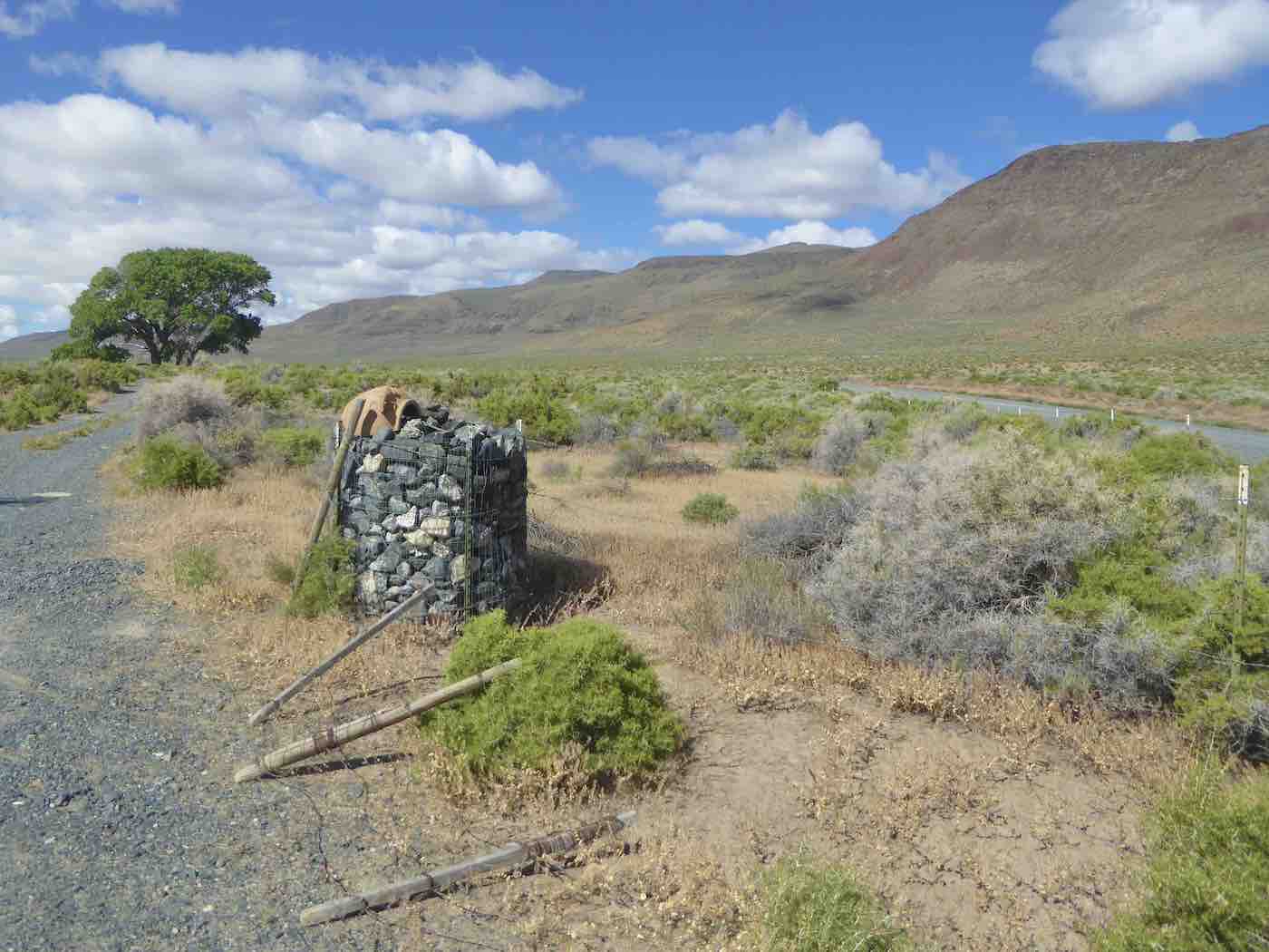
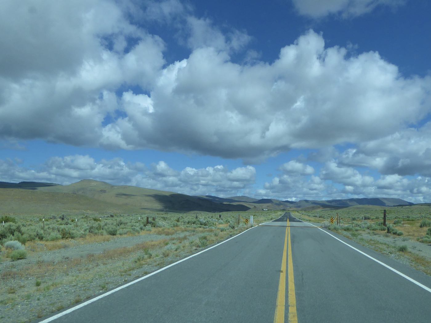
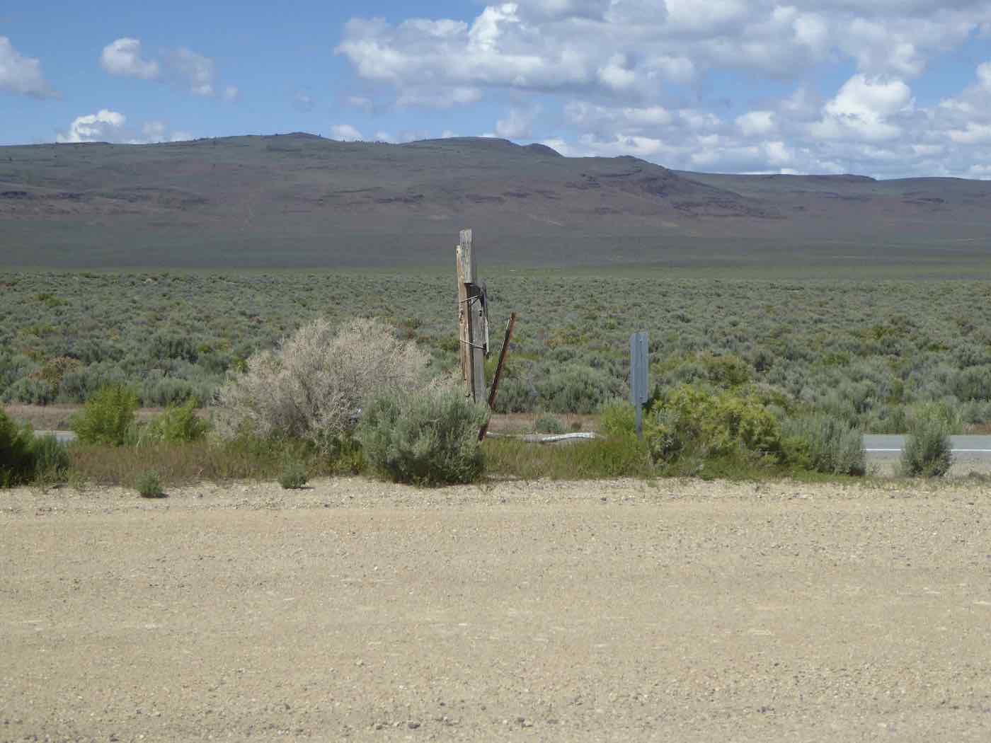
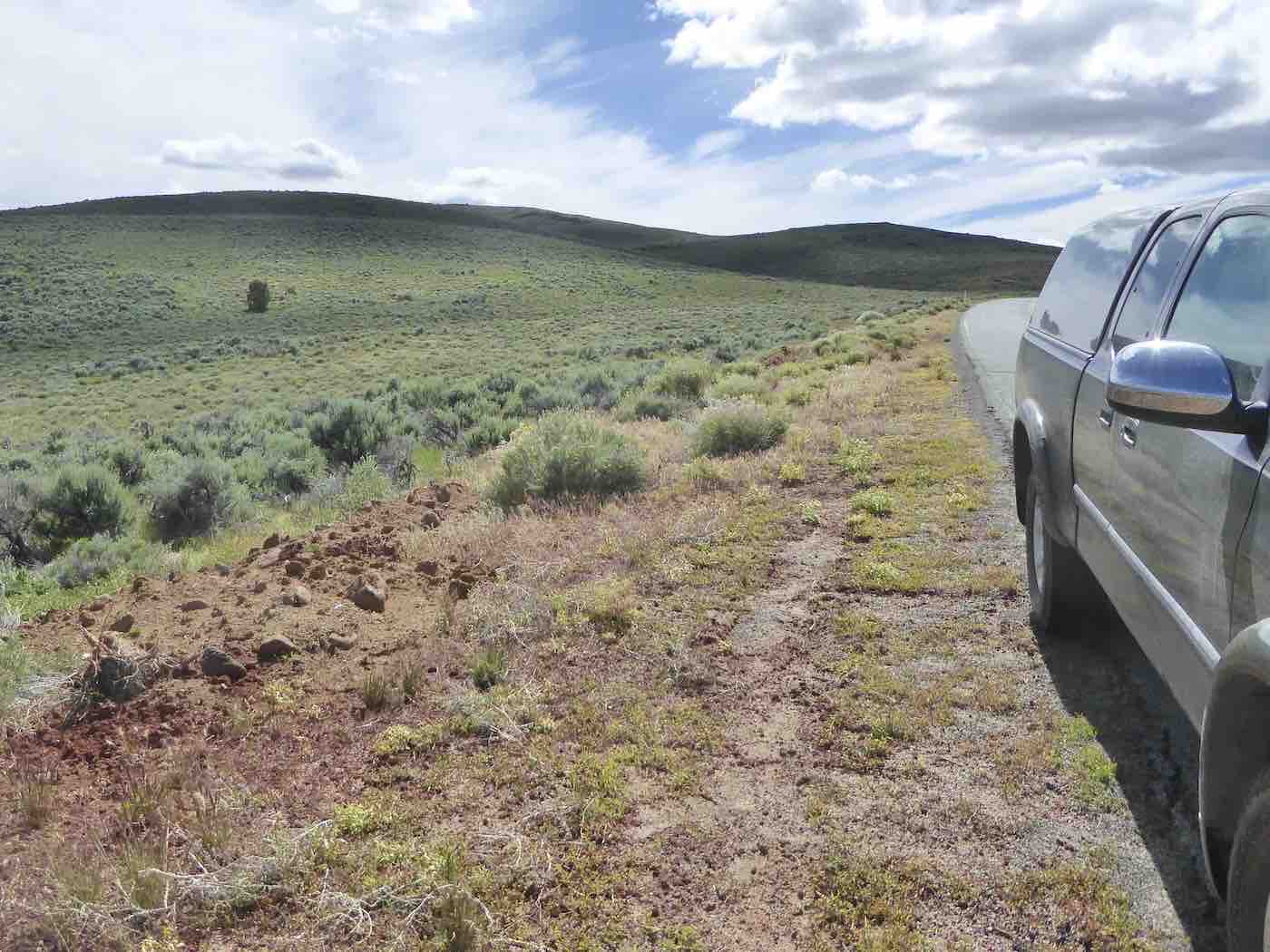
on pavement as far as the lower end of Duck Flat where one
can cut around to the west and north seeking
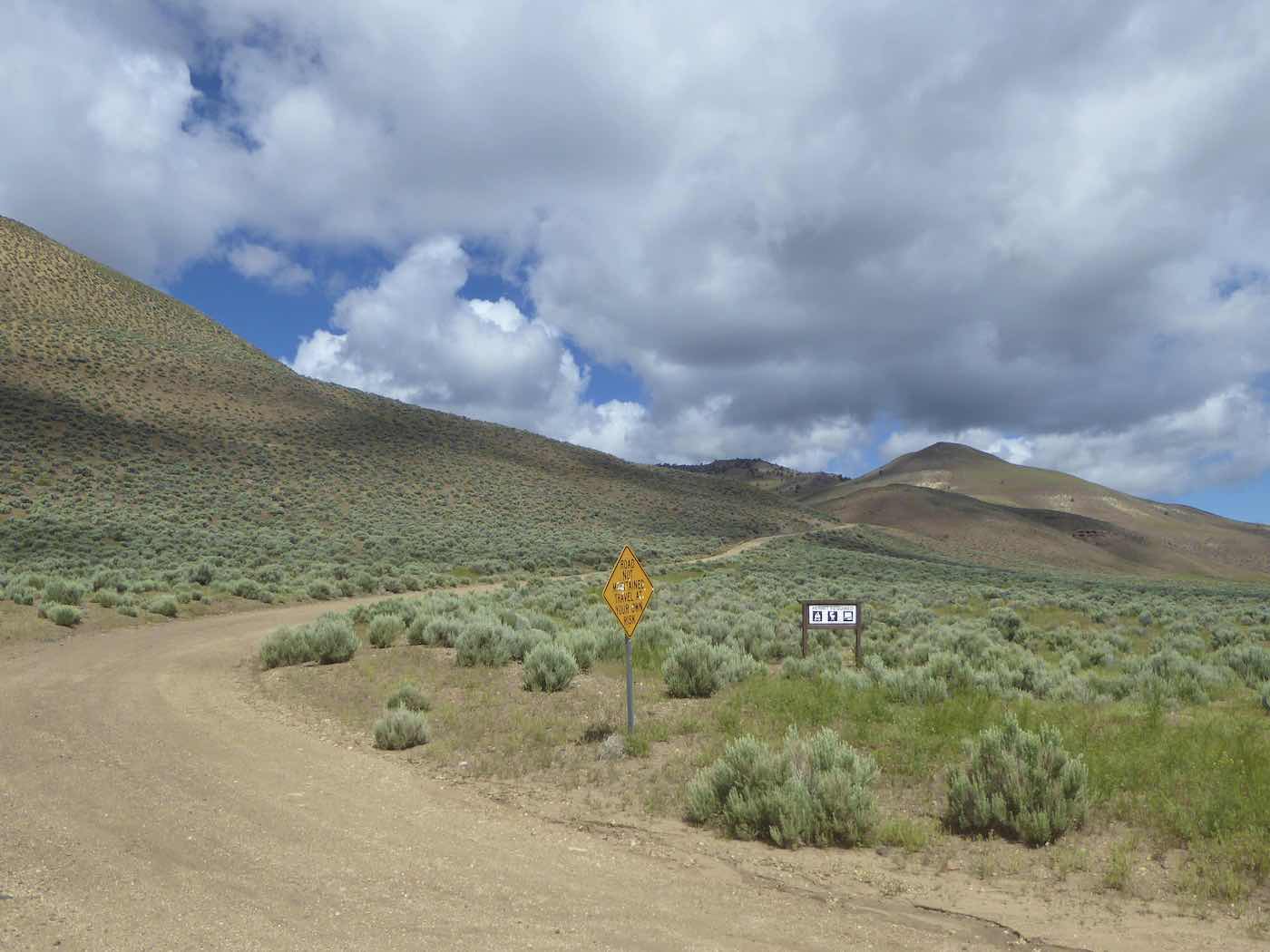
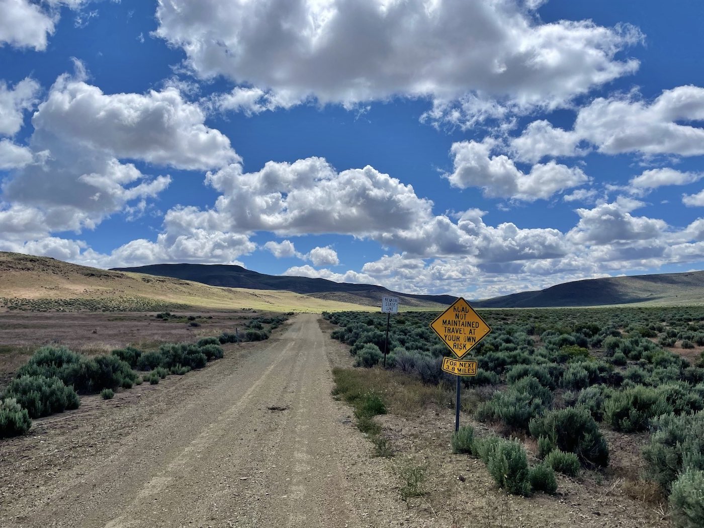
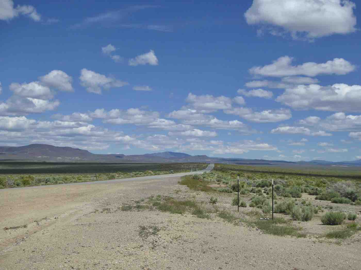
and seemingly finding the Tuledad Road towards California which exited Nevada after 3.8 miles
of allegedly non-maintained road onto the allegedly maintained Roads of Lassen County
which start out quite nicely,
actually, although unpredictable deteriorations appeared with increasing frequency,
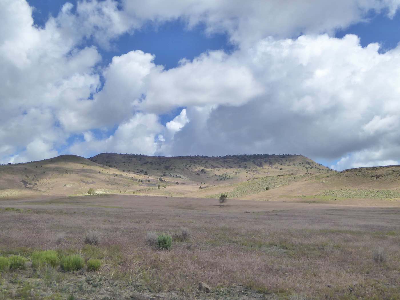
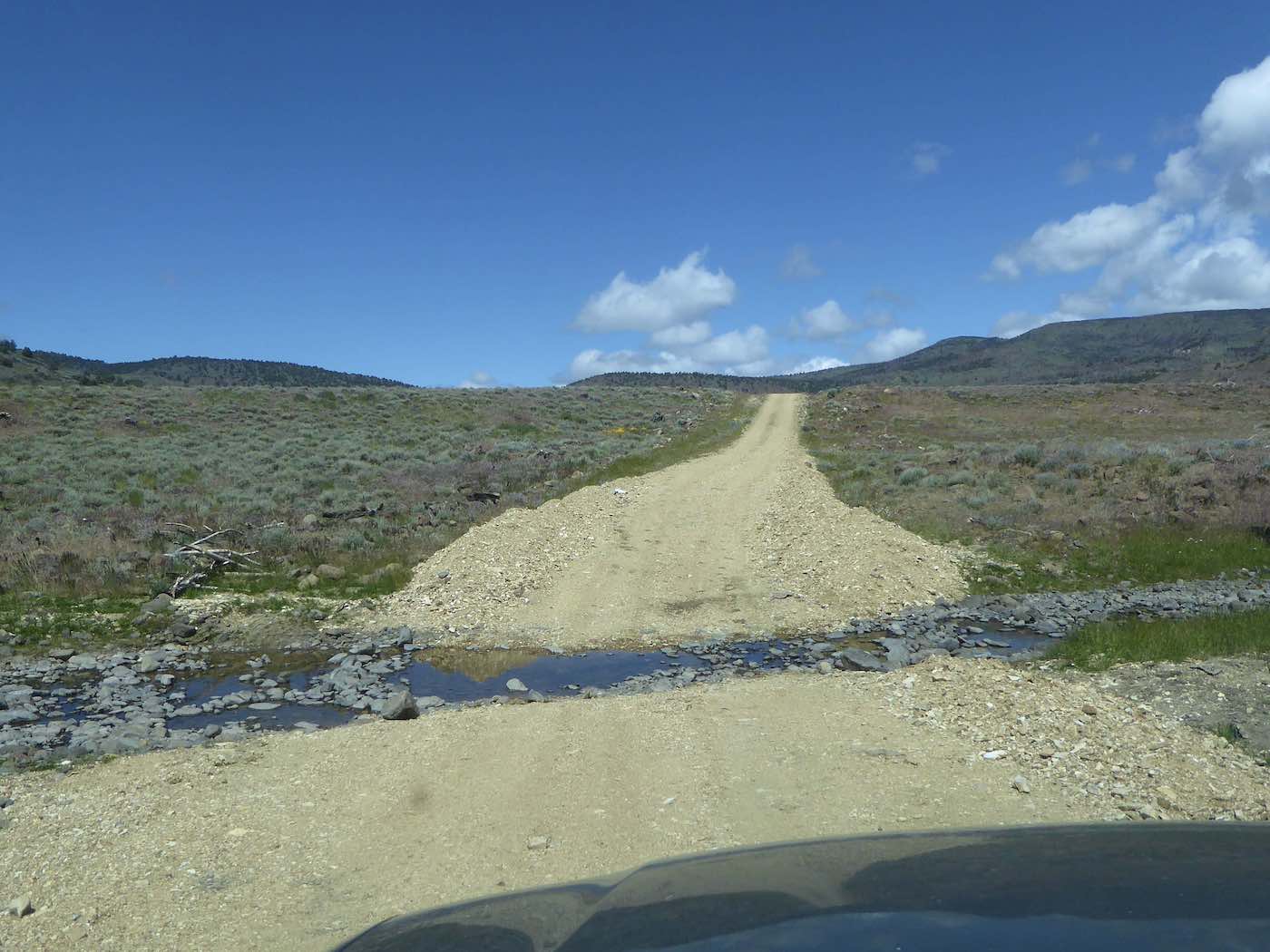
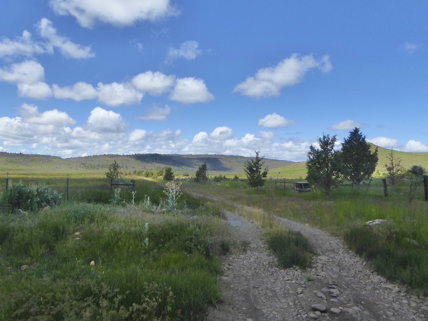
especially once one intersected 512 [not marked – numbers all courtesy of google afterwards]* and climbed, or the truck did, across frequent streamlets and rocky gullies into the southern
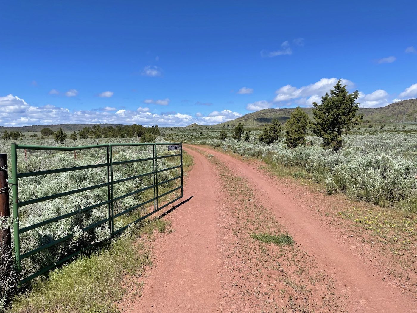
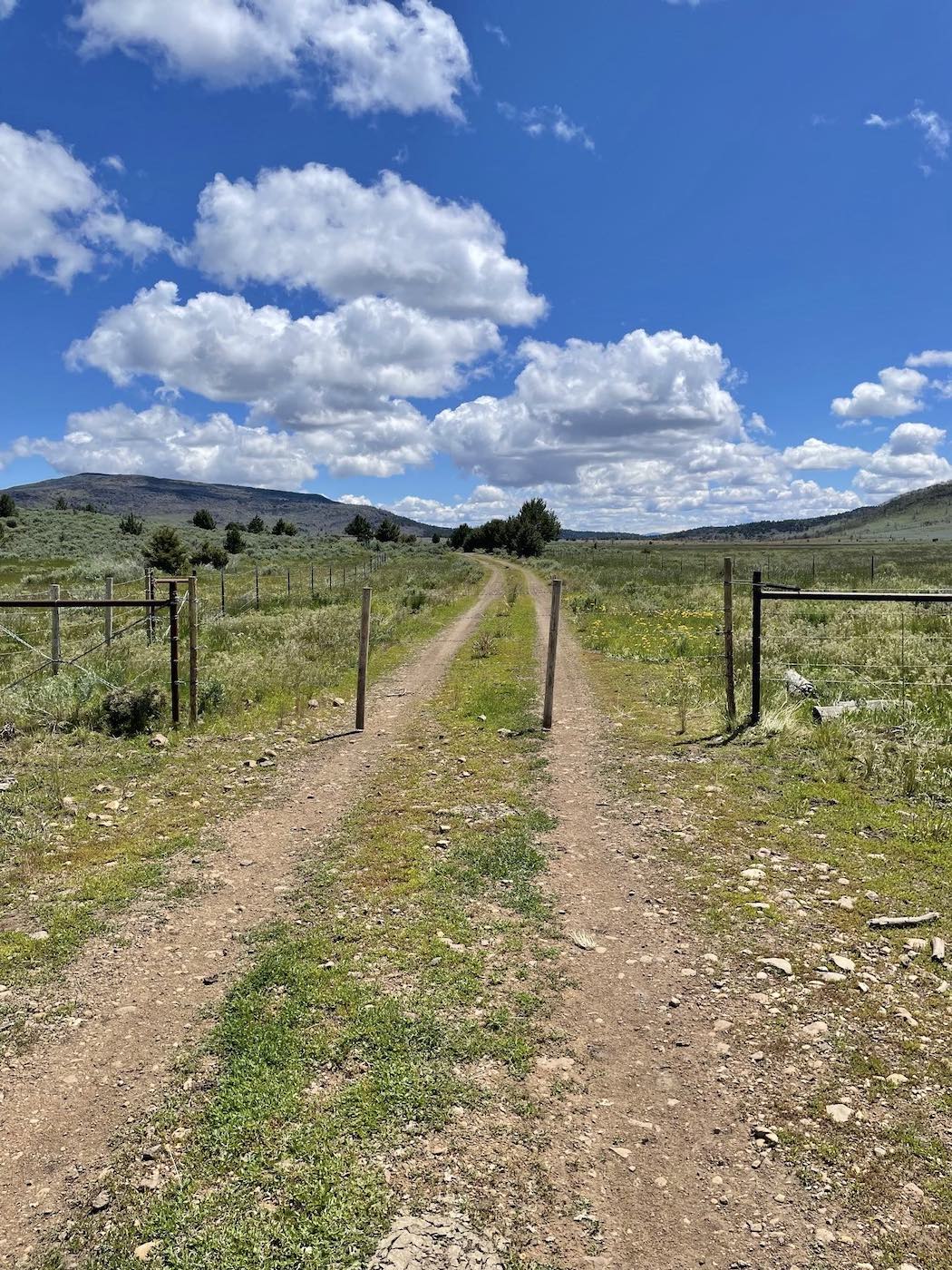
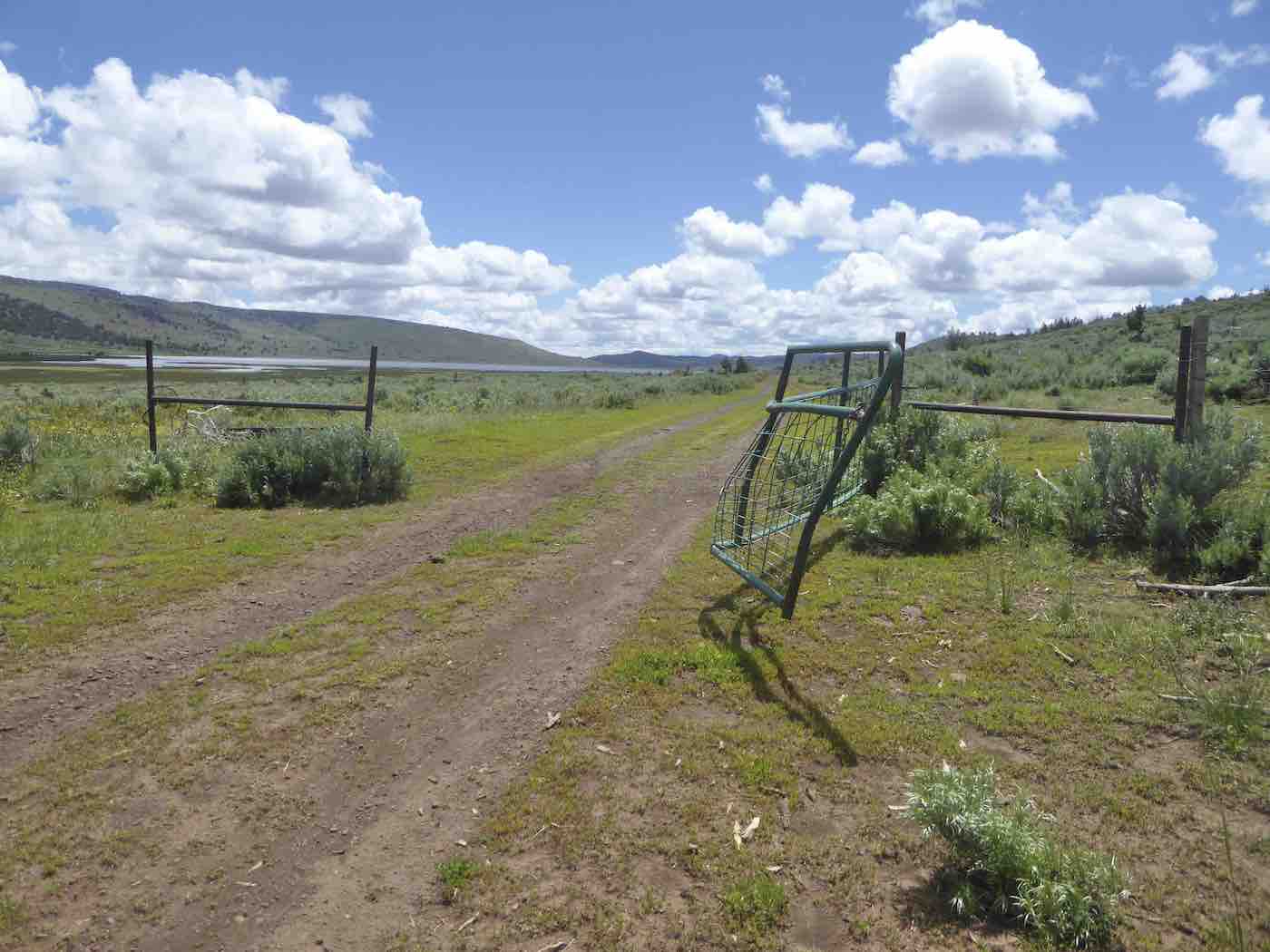
reaches of the South Warner Wilderness where many [many] gates were encountered as well as
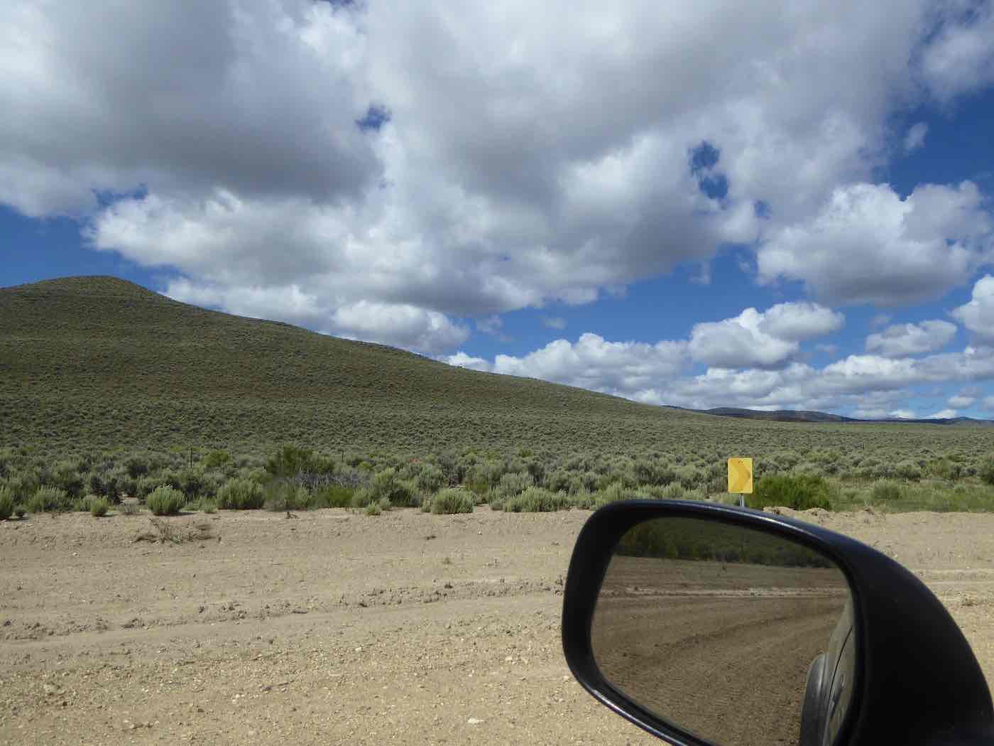
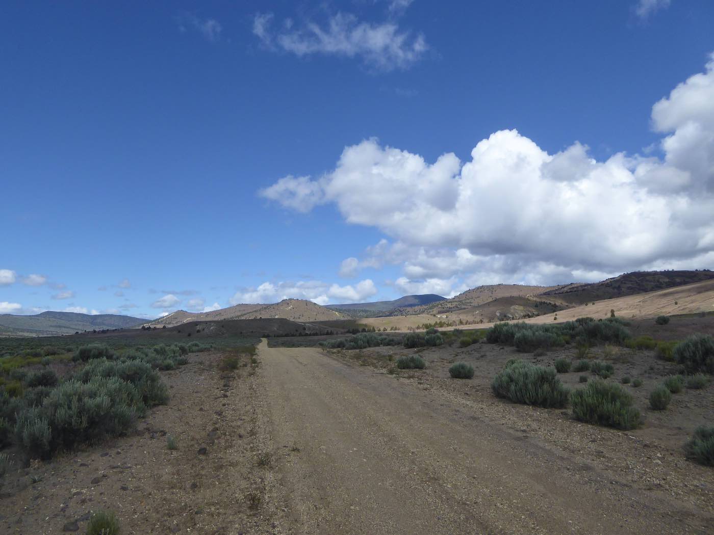
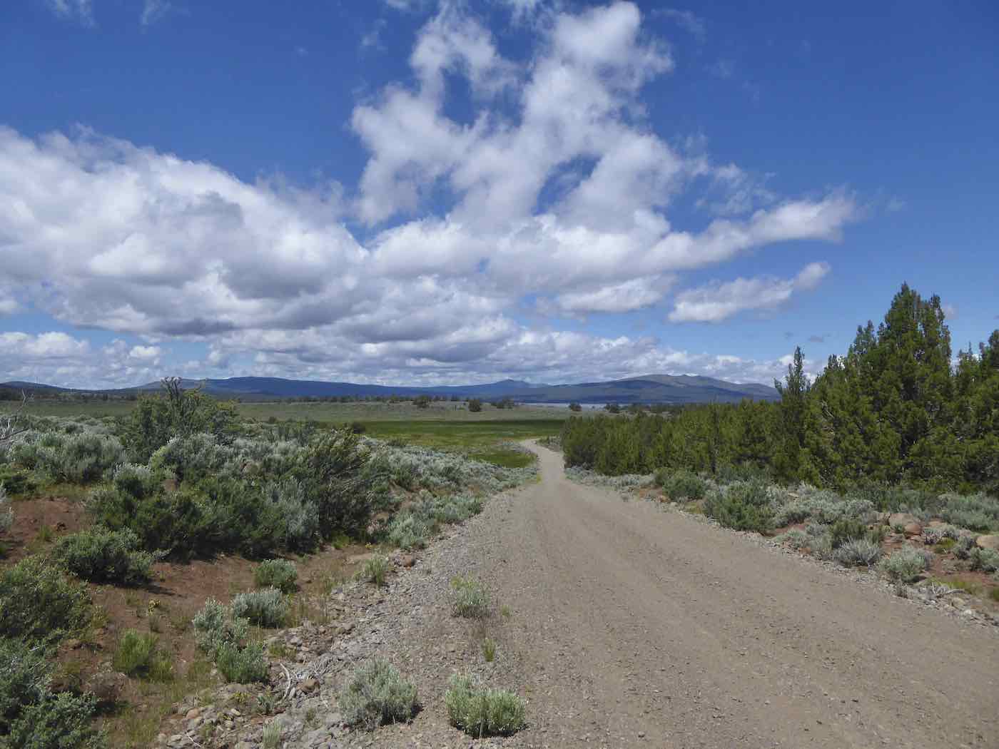
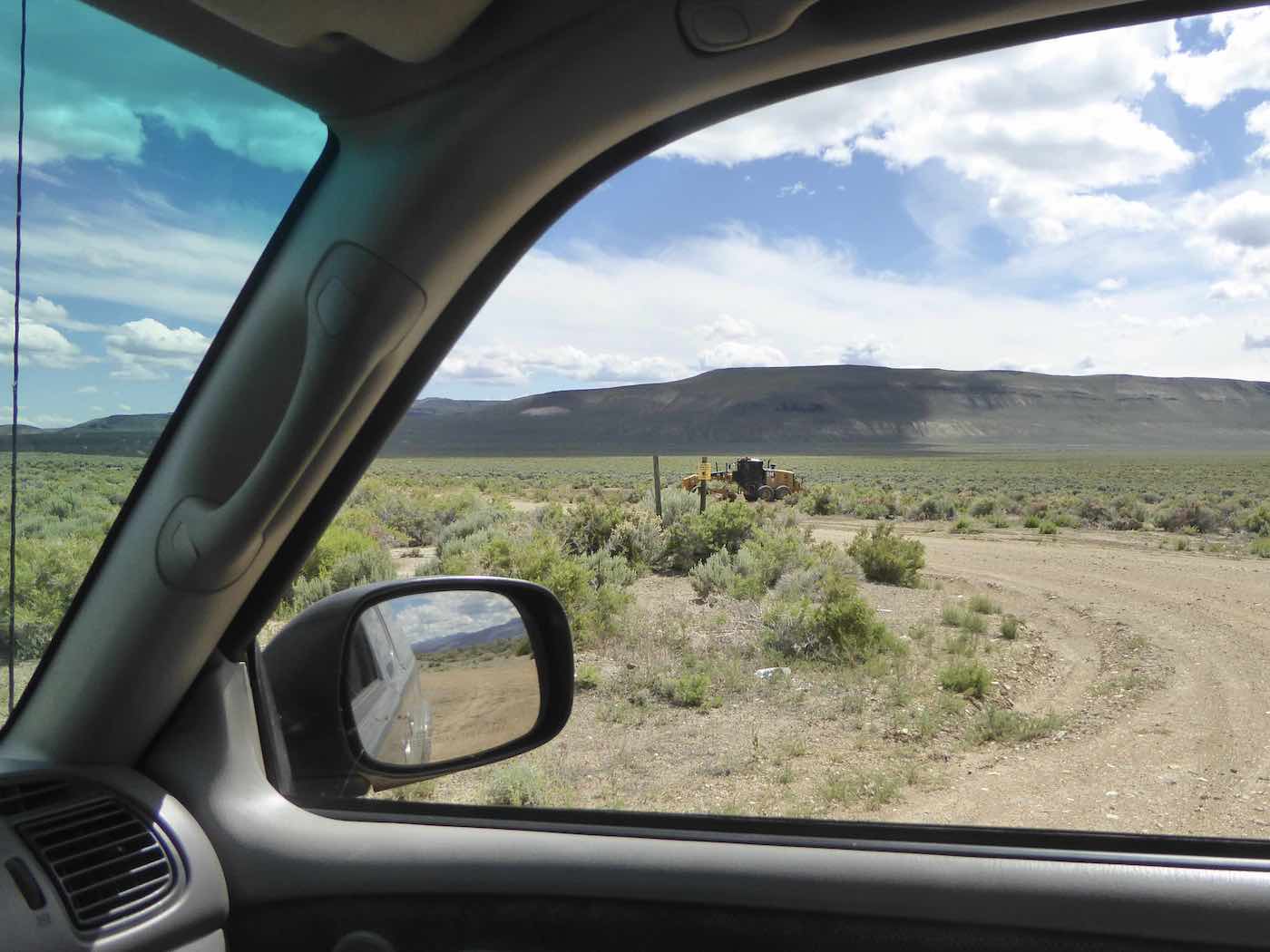
a dozen or so miles of not-bladed-since-whenever-the-last-fire-was rockiness, some stretches
being none the worse for wear, some very much so with plenty of ruts ‘n’ rocks and, yes,
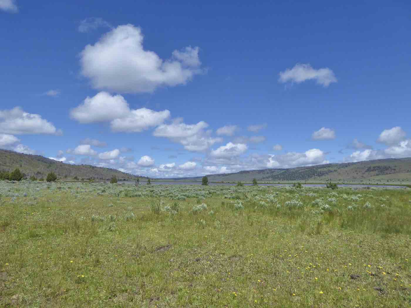
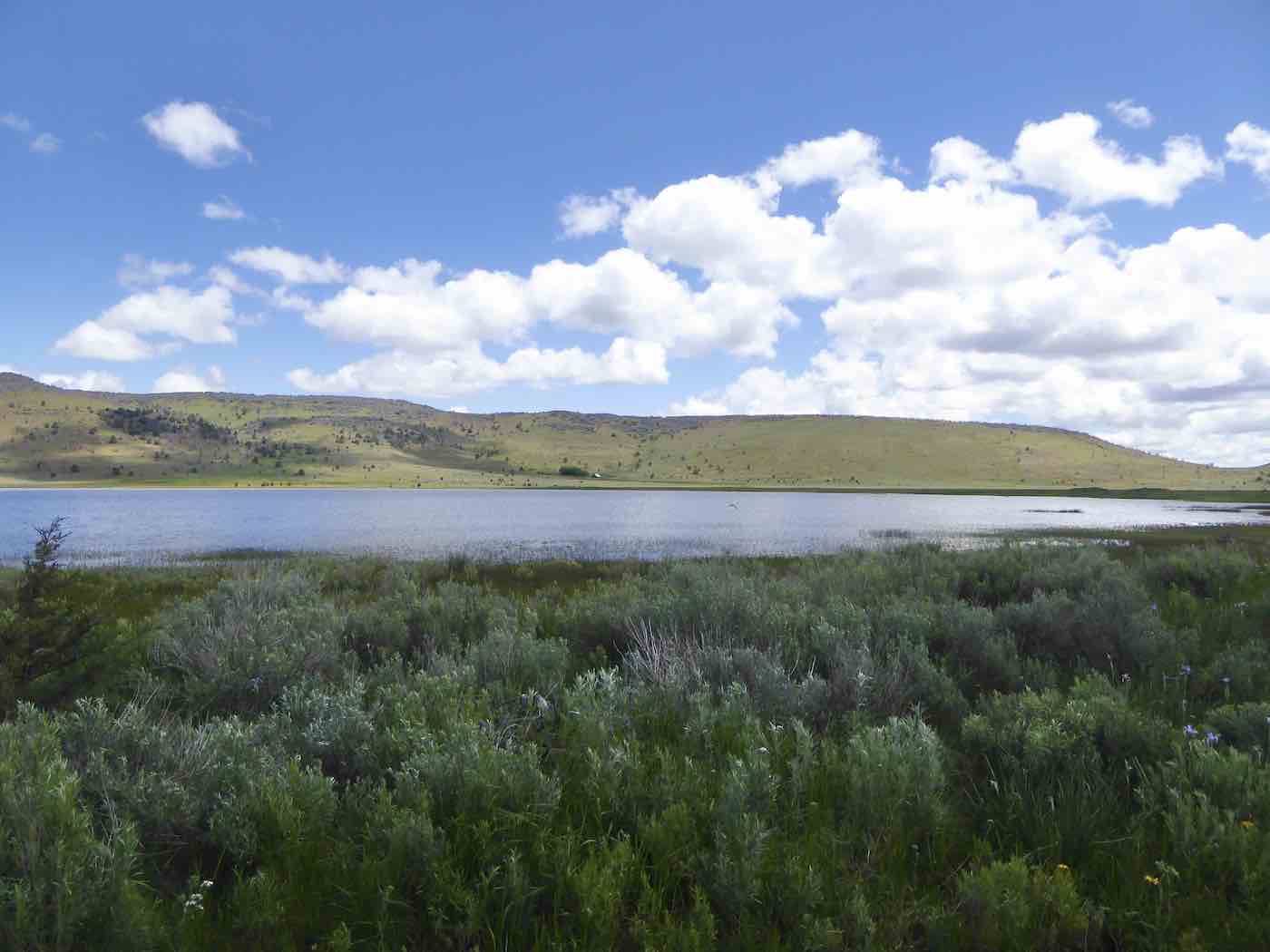
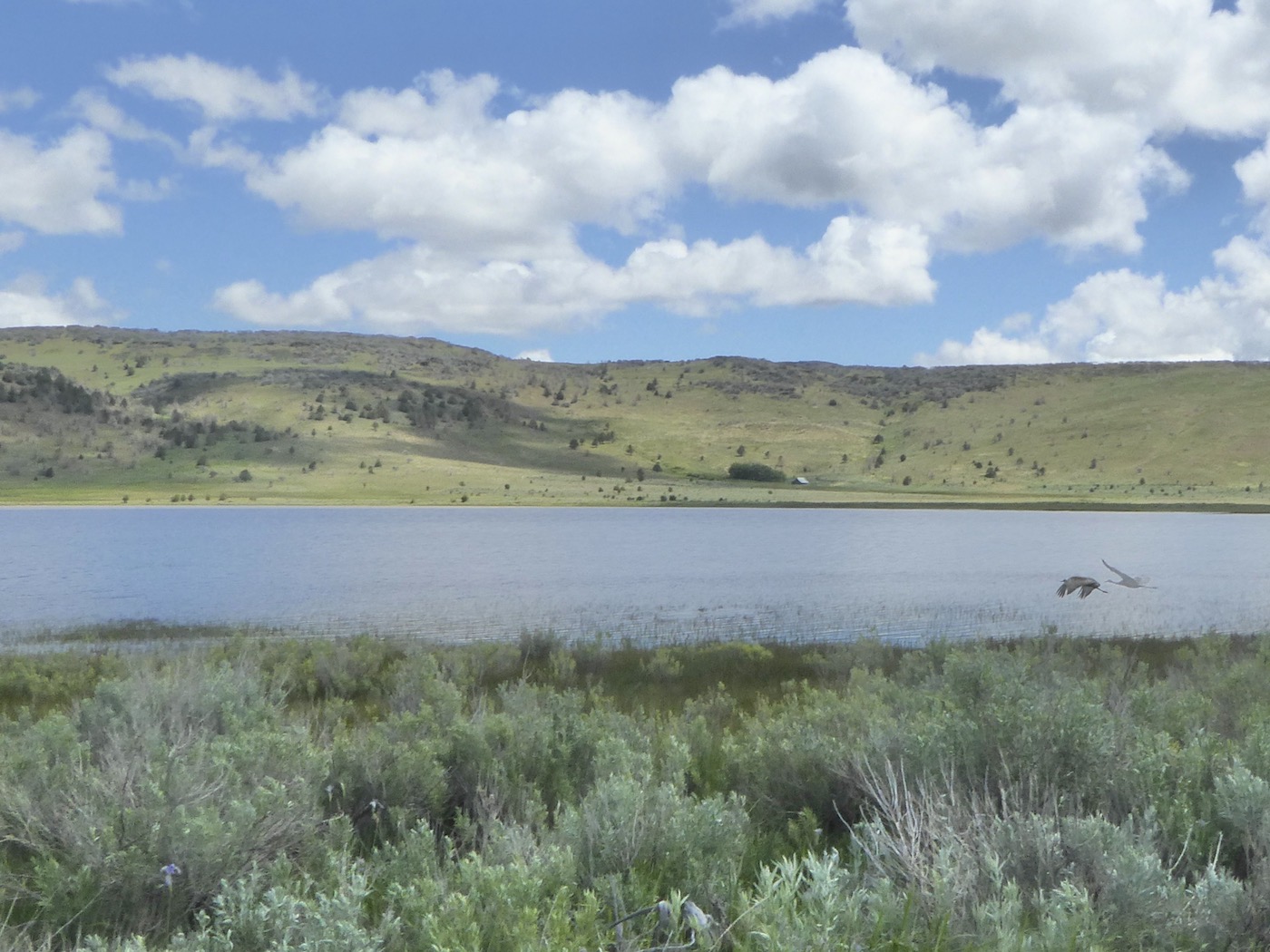
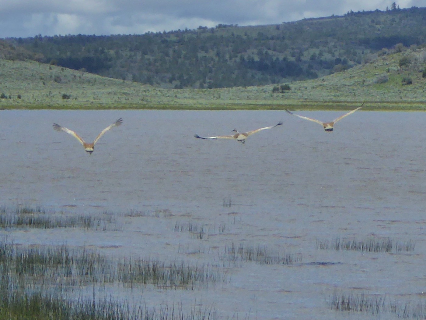
gates. Around Red Rock Lake a deeply rutted but for the moment unmudded zone,
navigable at pretty much five mph at best, was particularly memorable for that as well
as a small population of Sandhill Cranes, fleeing the camera. It was additionally observed that
the further one advanced into Cali the more gates were inexplicably abused
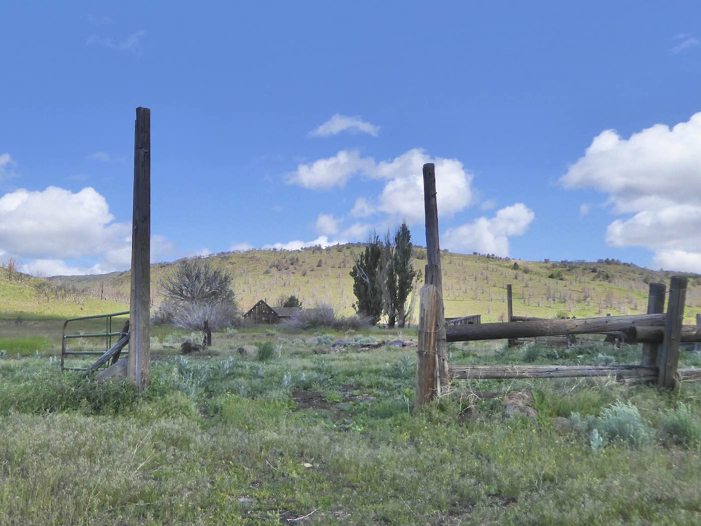
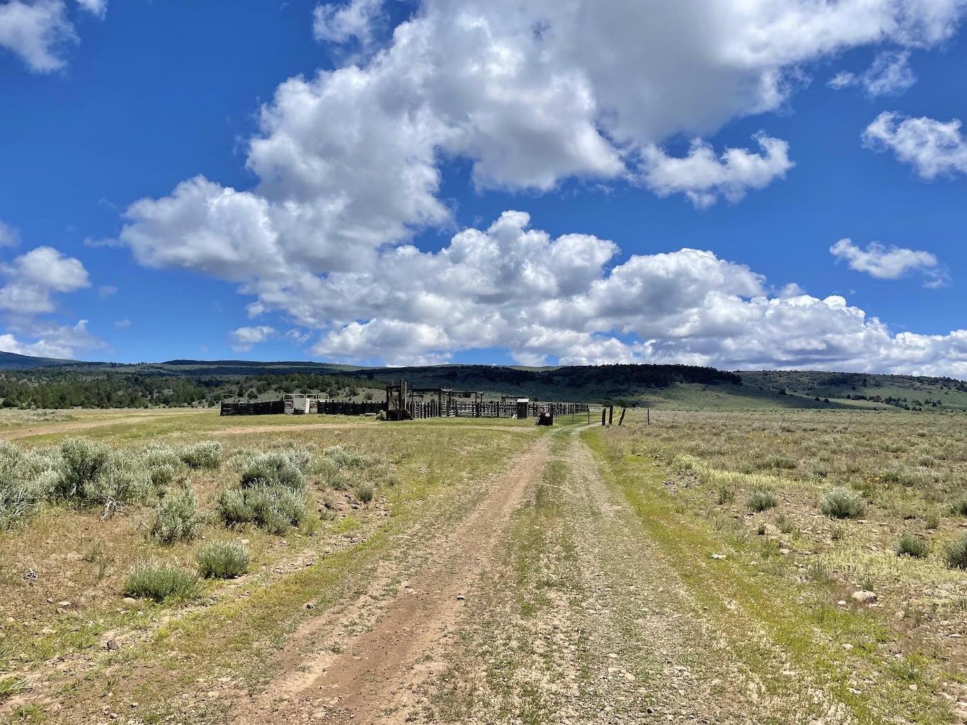
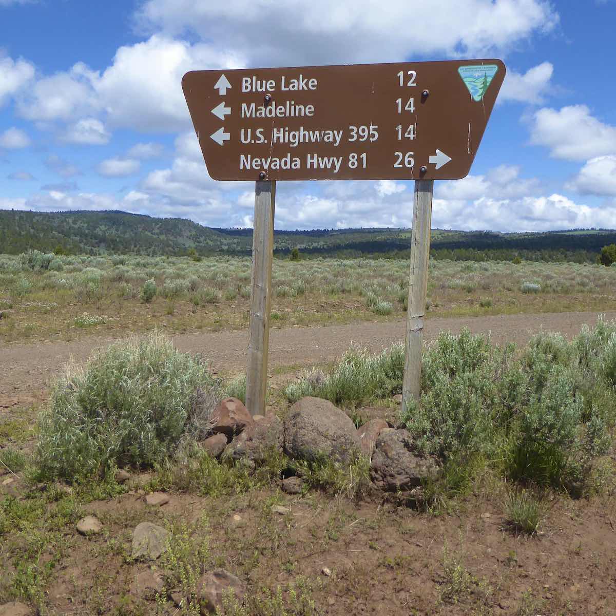
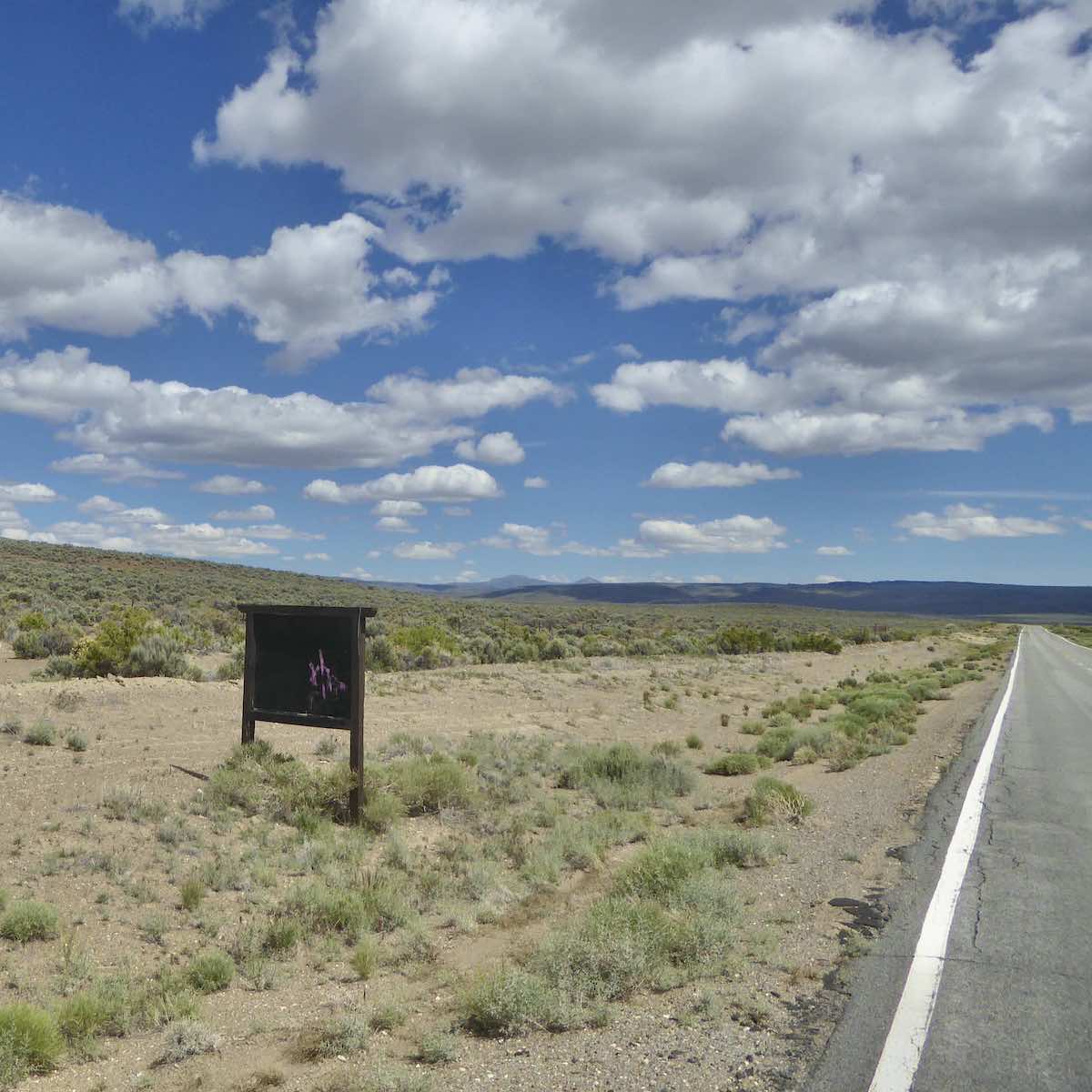
but at the last one there was a substantial corral and Actual Signage
[Hwy 81 is what 447 was called before it was paved…forty + years ago] preceding
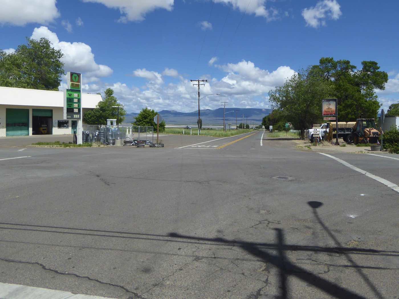
the actually maintained CR 510 for the remaining 14 miles down to Madeline.
From there it was 395 north through Likely where a sleazy silky flag demanding America be “taken back” flew, although just how far back [17th century, maybe, but of course with all the $100,000 pickup trucks and automatic weapons intact] is unknown…and hopefully unlikely.
By one I was in Alturas with its post office, tire shops [no used 33×12.50 R15s] and the Holiday for a last week’s foods…an hour later in Cedarville was momentarily/nostalgically tempted to continue on 299 across the causeway to where pavement ends, Nevada begins and where, after getting gas at the Chevron that was on the lefthand corner in March 1967, my fascination with this country began with some ill-advised directionless wandering out onto the slippery slopes
of 8A all the way to Denio, but didn’t; turned south and was glad, by the time I’d reached Duck Lake utterly spent, that I hadn’t…so paused to rest my eyes, stretch, eat an avocado and
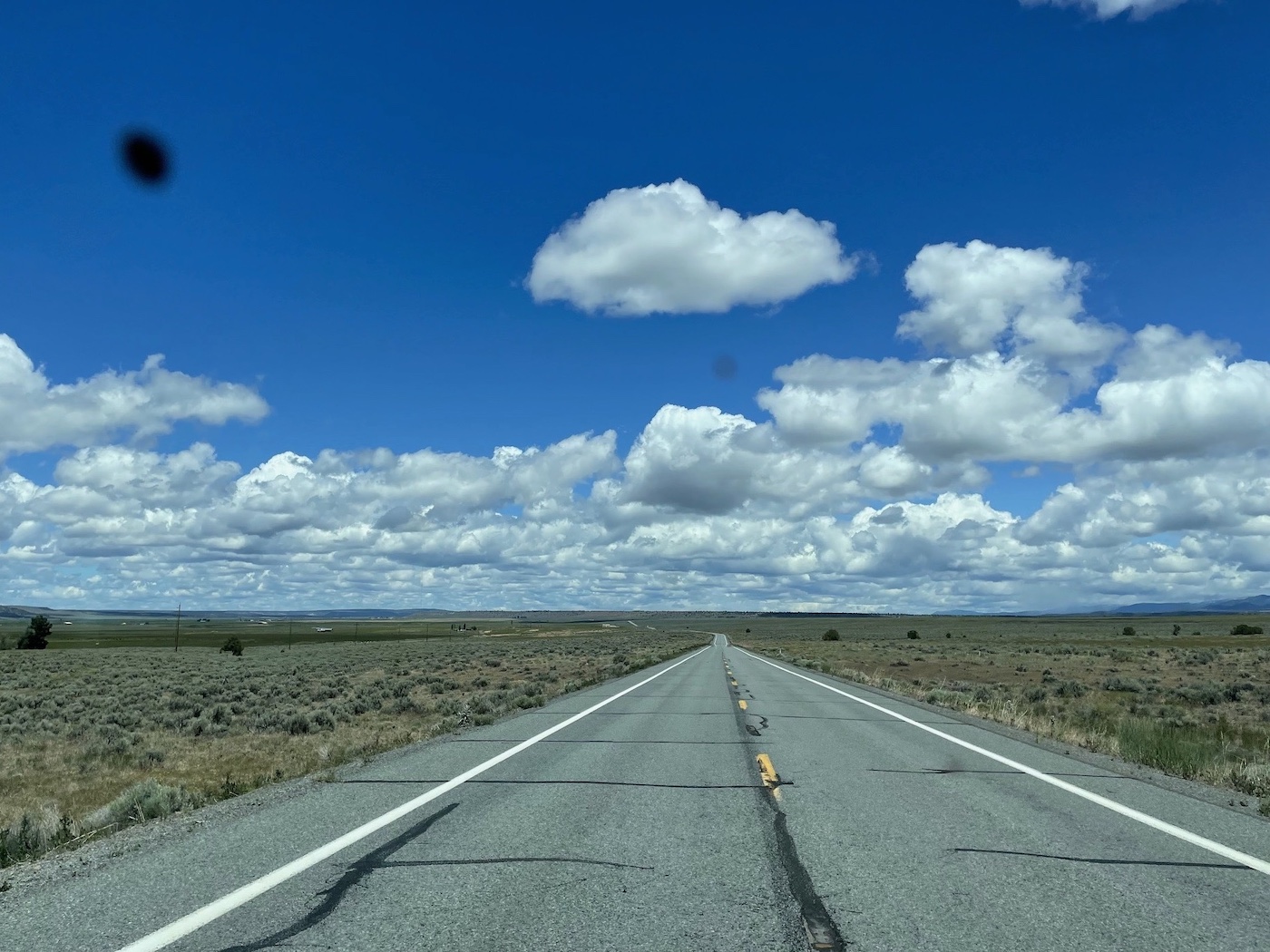
ultimately continue down the former Hwy 81,
past the turn taken five hours earlier,
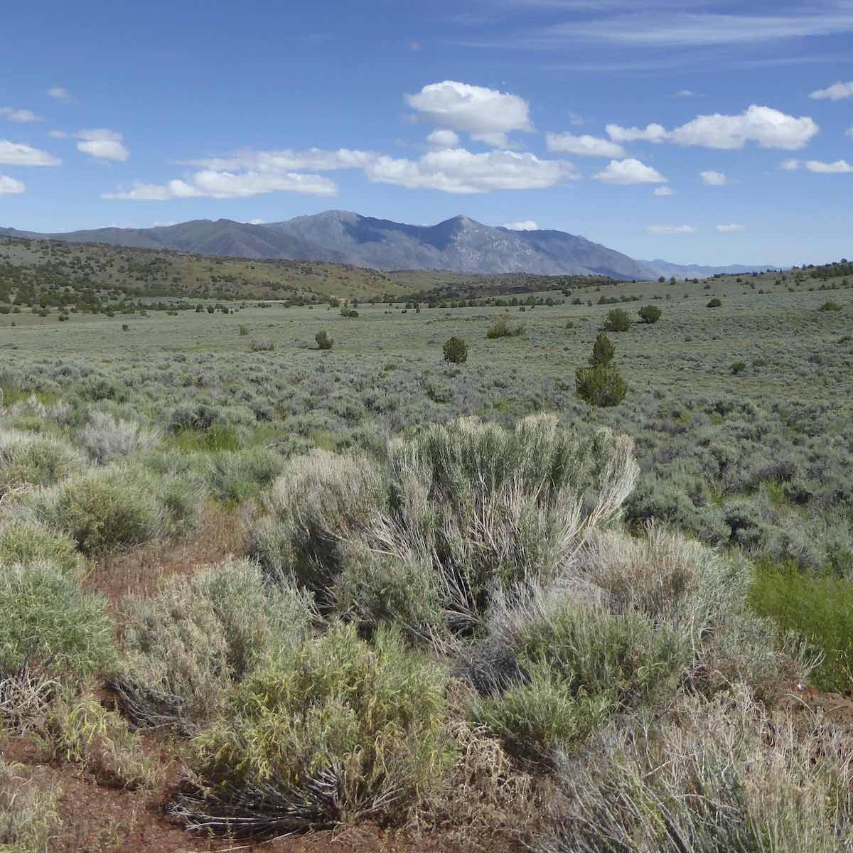
over the Buffalo Hills,
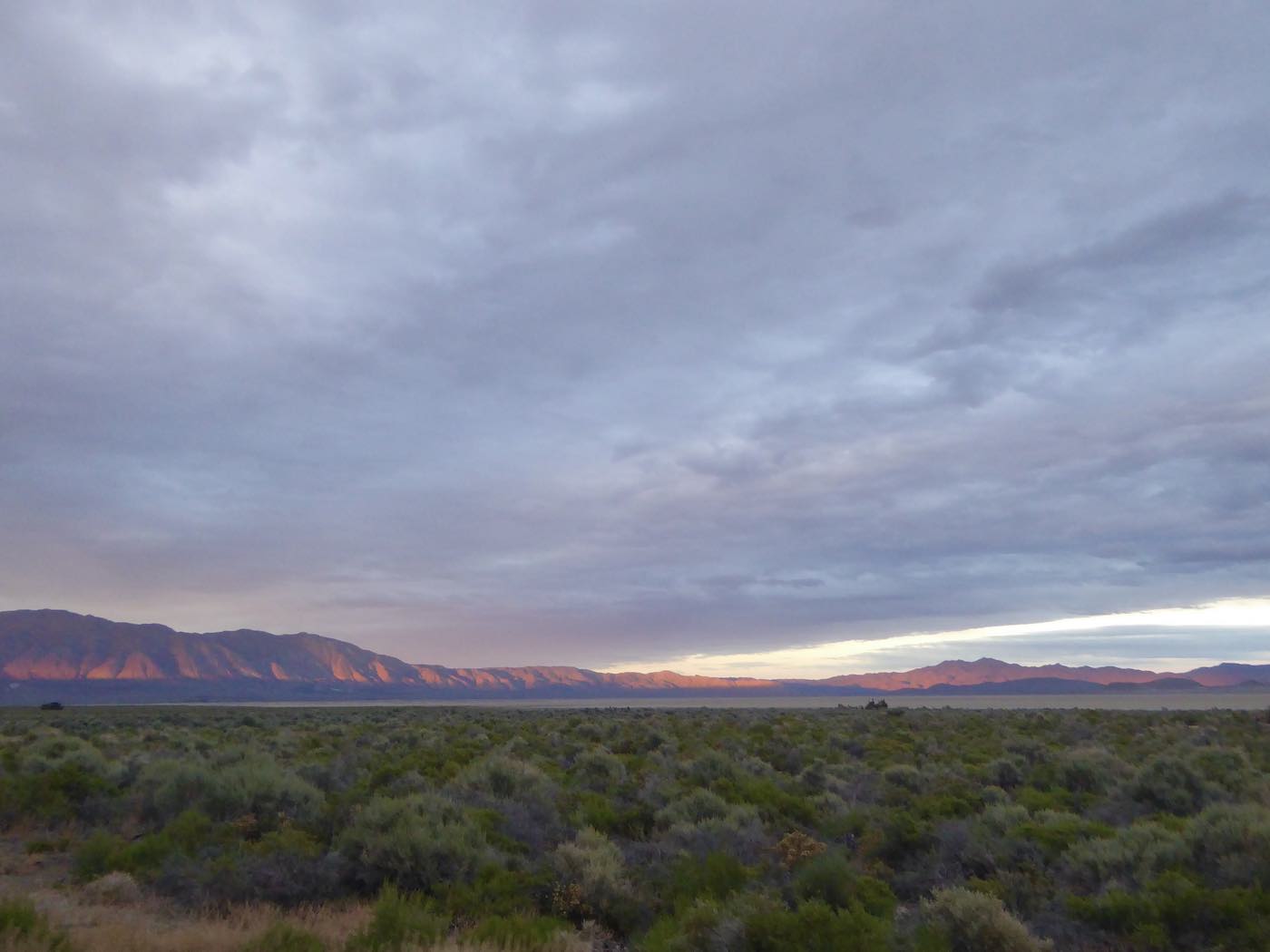
and down to the desert at the base of the Granites to turn
right on the Smoke Creek Road, Wall Spring by four…
Those eight hours on dirt roads ending with a bath in a cattle tank days are long gone…
*This being California I guess they should all really be called “The” 512, “The” 510, “The” 506…not by me though.
