The Great Circle, or just a day out enjoying the country;
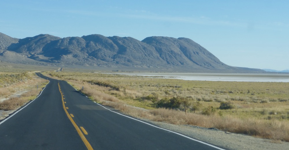
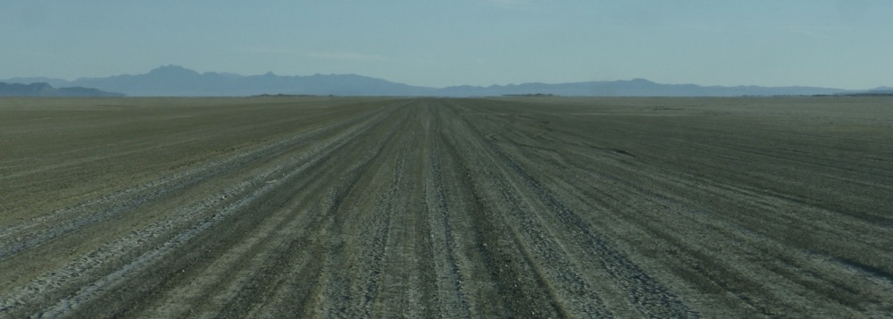
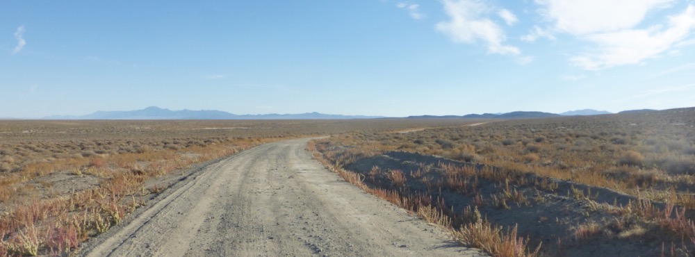
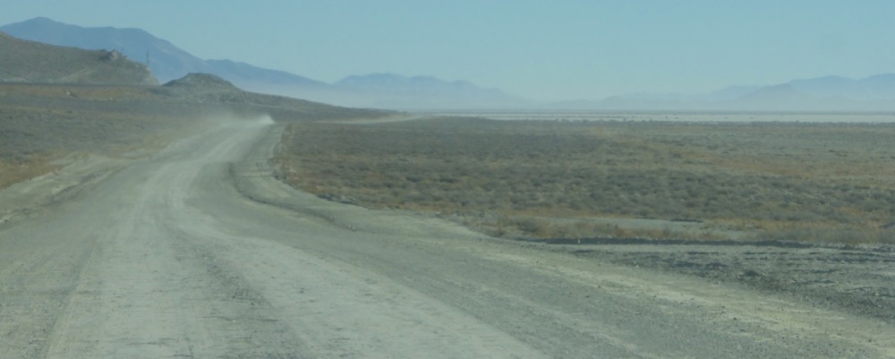
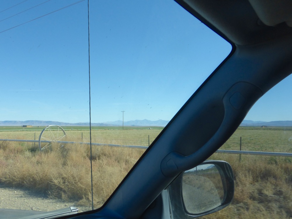
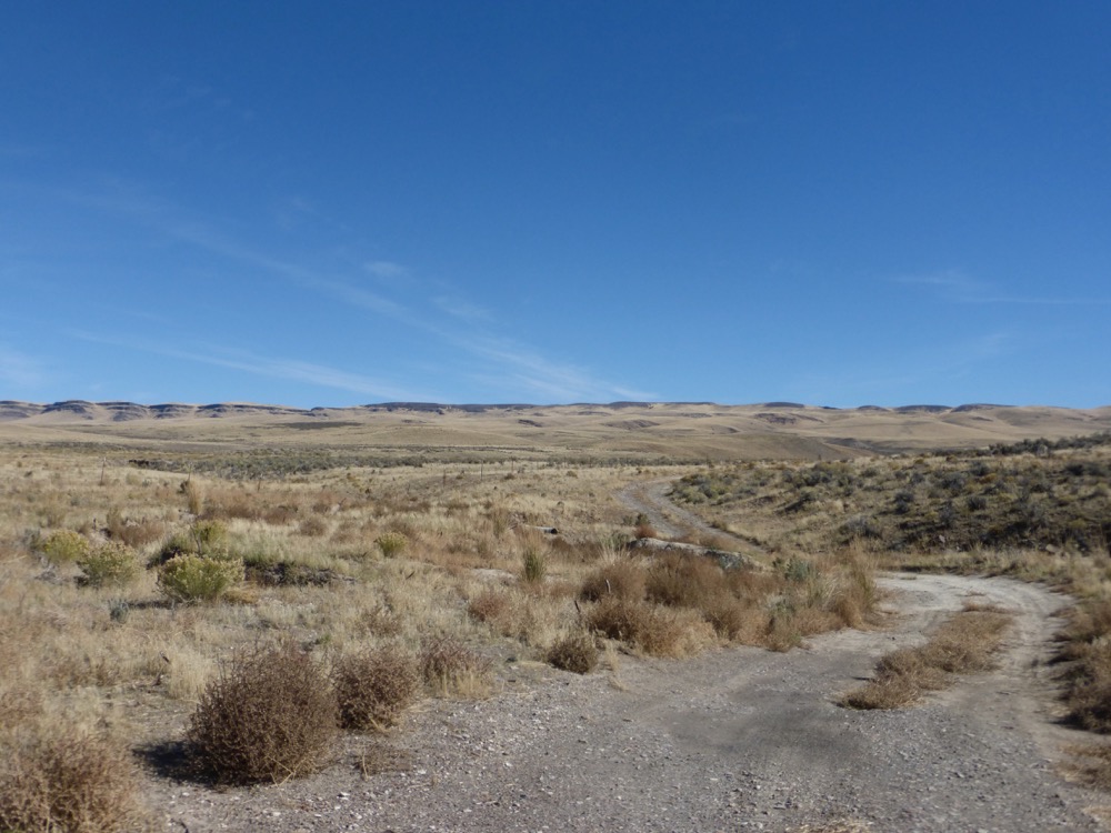
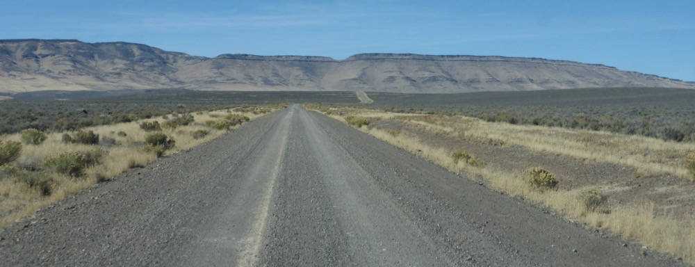
Despite the early rising not actually out the Wall Spring gate until 8:15; CR33 east to 447 to 34 and onto the desert at fivemile, which is quite chewed up; lots of tracks all across the playa too. Off at Trego, one stop before Cholona, as it’s easier to access…
…the High Road, currently an unrelenting washboard riddled with axlecracking powder-filled potholes nearly to Sulphur, regretting I neglected to photograph the “Shit” appended to the “Dip” sign at the Dip but, oh well.
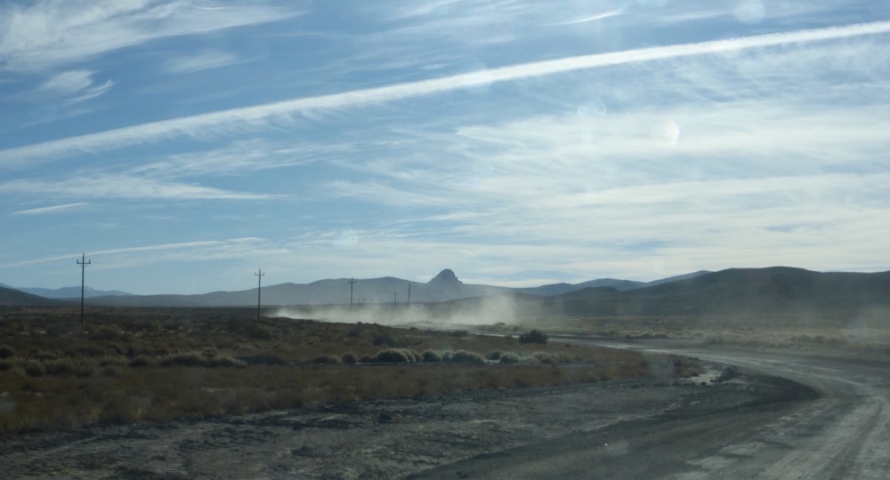
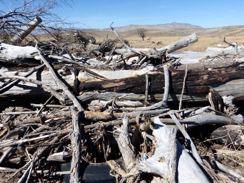
Mine traffic on Jungo road all the way from Sulphur to Jungo…
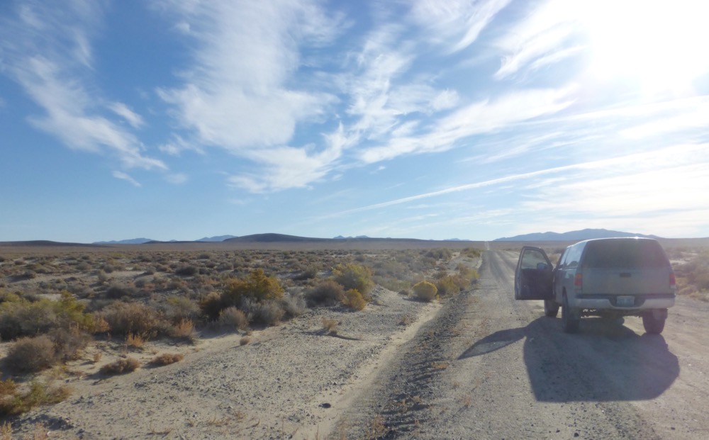
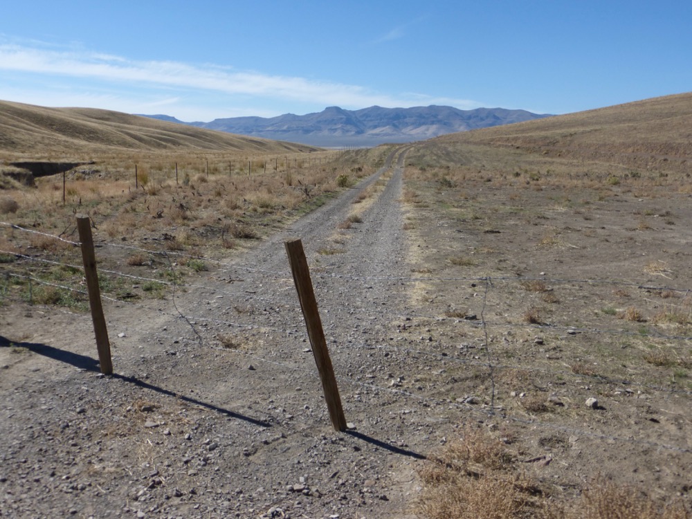
Reached the Bottle Creek Road at Jungo just in time to fall behind a northbound truck, recently inbound from Winnemucca, but moving fortunately faster than the miner, so up Desert Valley…
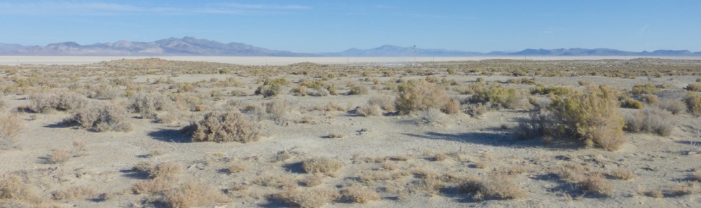
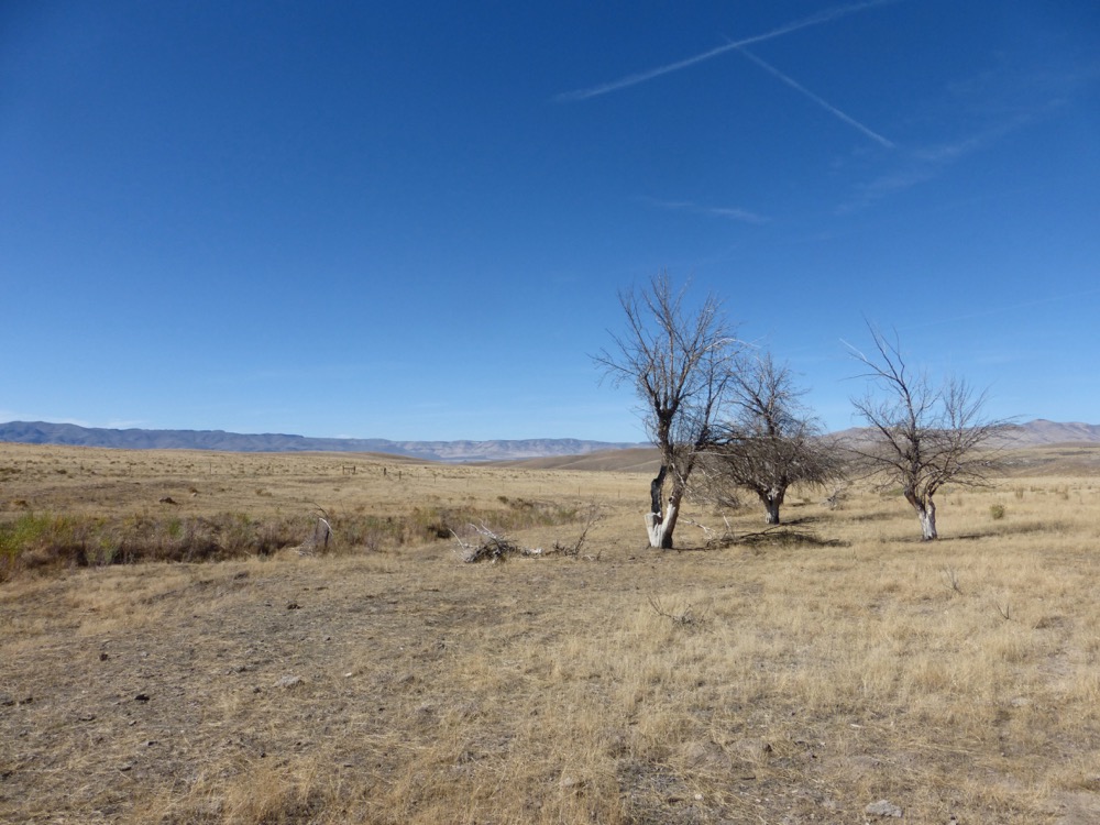
… through widely-spaced ranches [and one instance of industrious industrial ag] in the middle of assumed nowhere, miles from anywhere, miles from Winnemucca…
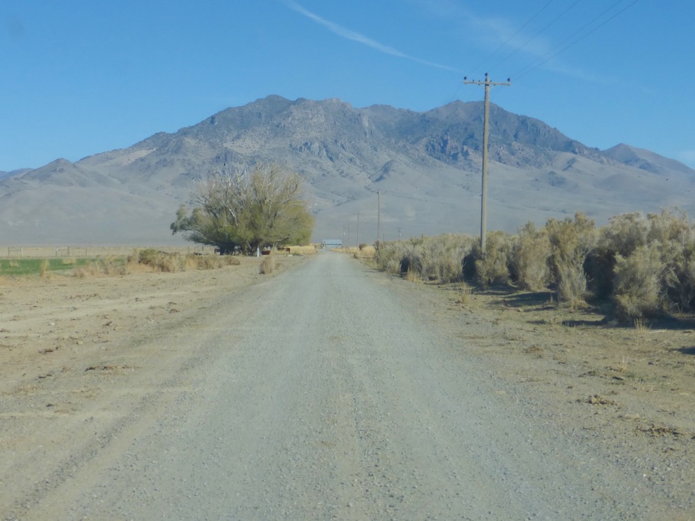
Two hours of gravelly dirt after diving onto the desert a finger of pavement snaked down from the Winnemucca-to-the-Sea highway, soon followed on the left by the gasline’s monster pumping station…
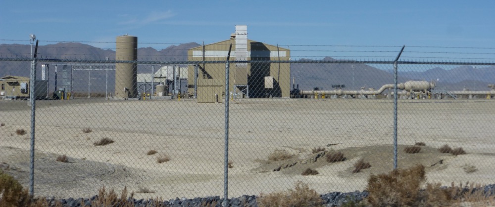
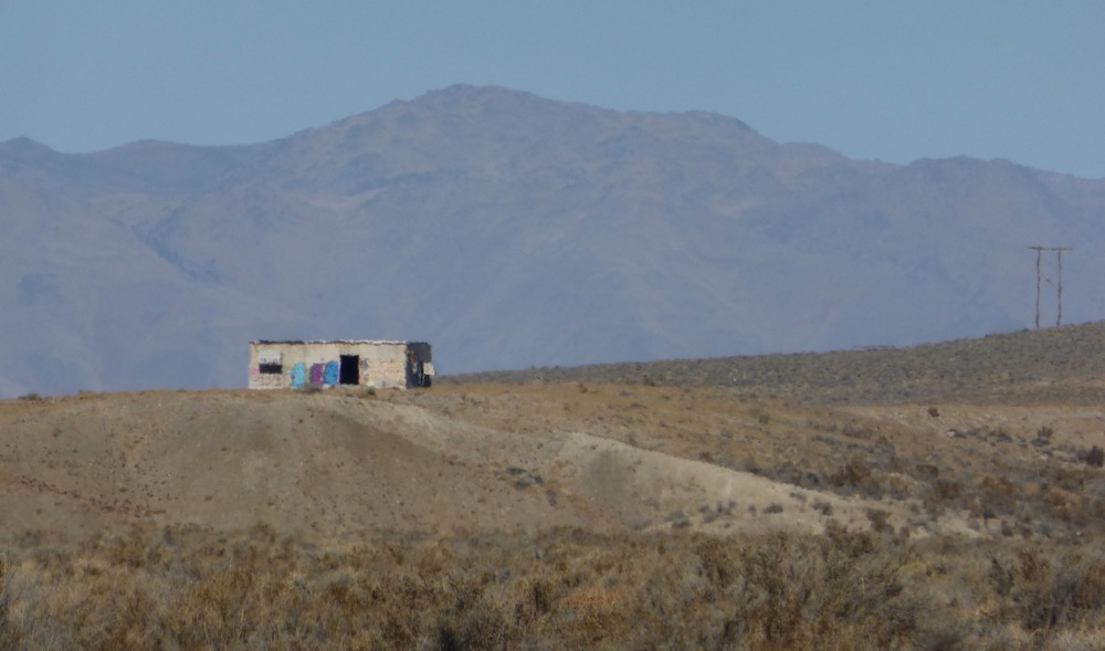
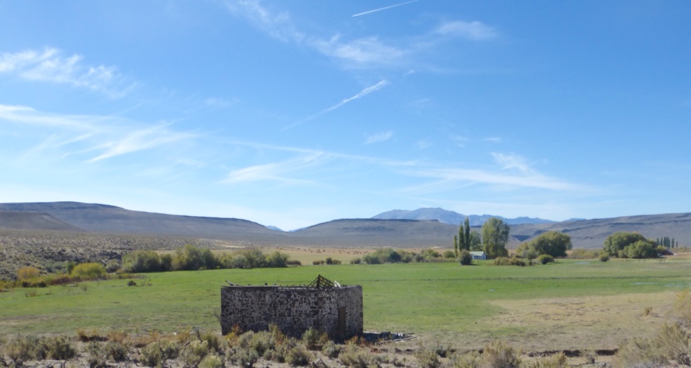
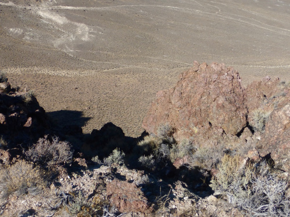
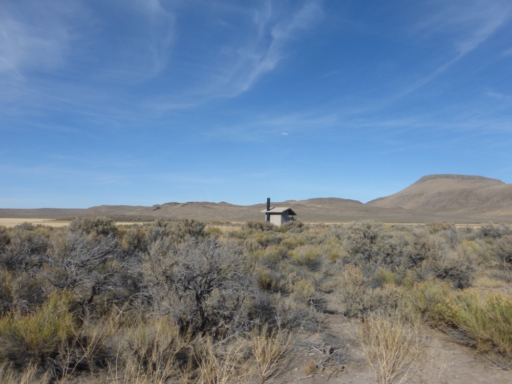
…and then the highway [with abandoned military facility in the distance];
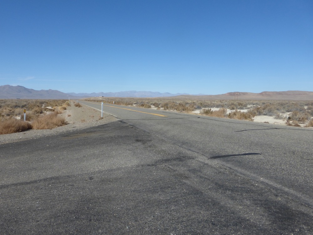
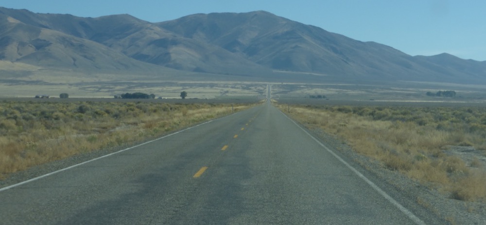
…twenty five miles east on 140 to US 95;
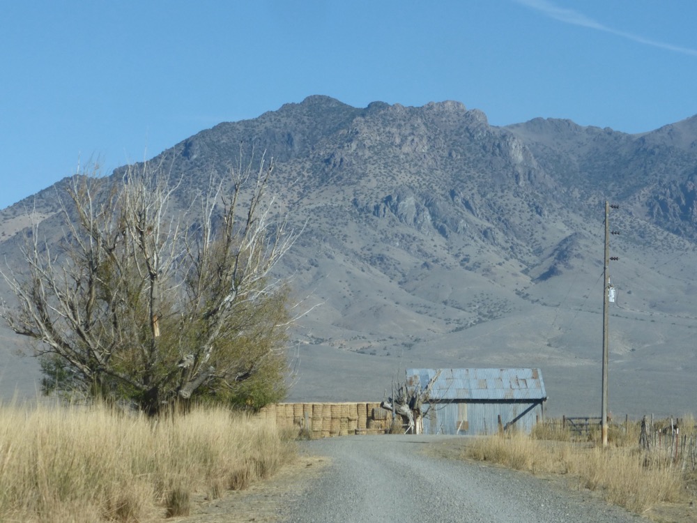
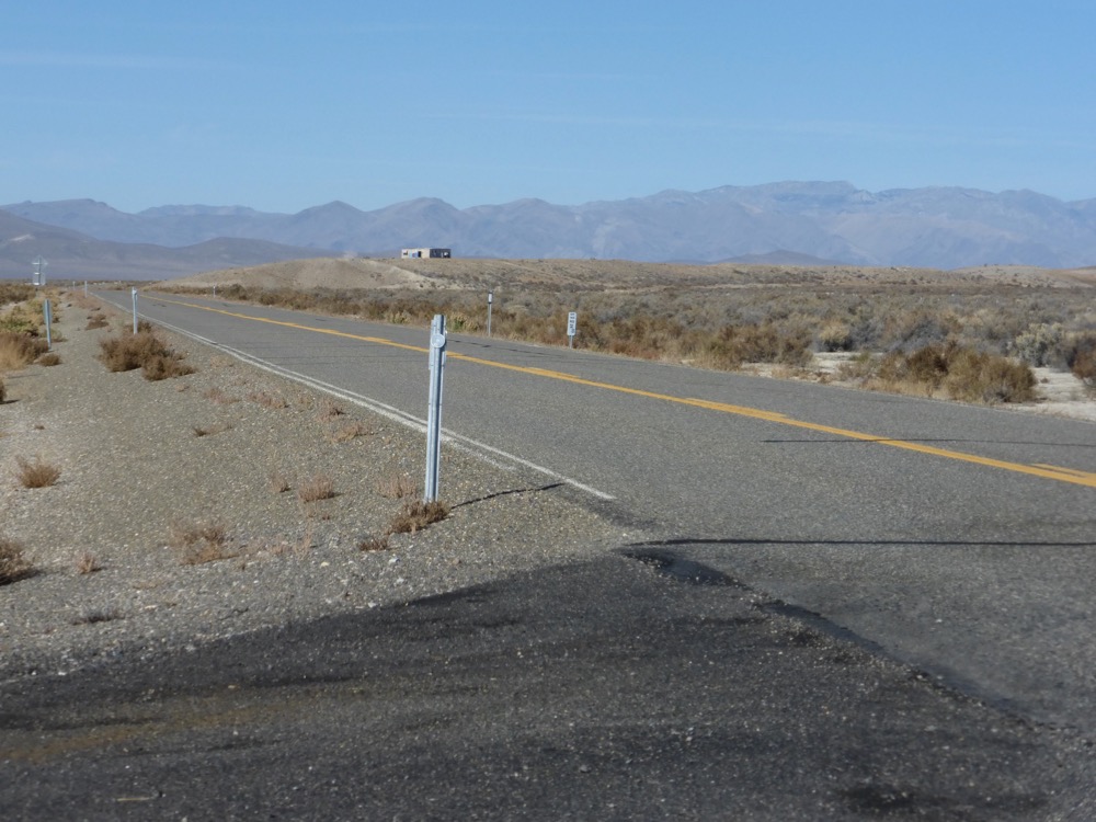
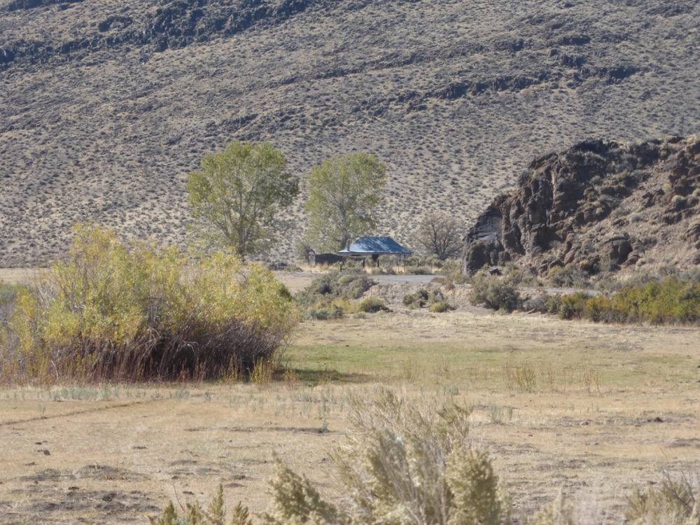
Forty three miles north on 95 to McDermitt, gas, then 14 miles into Oregon to the Jackson Creek Summit road; east on that and a couple of miles in a right forks towards an old ranch…
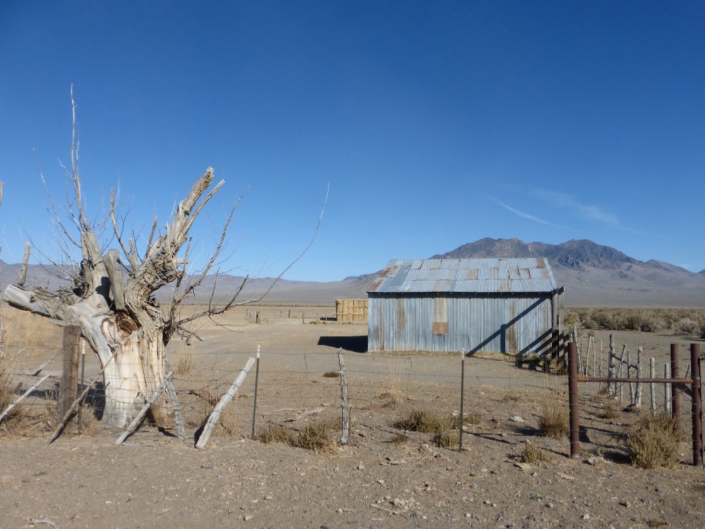
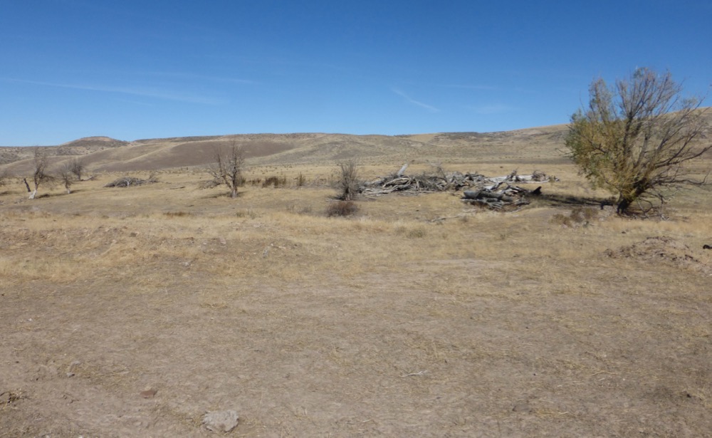
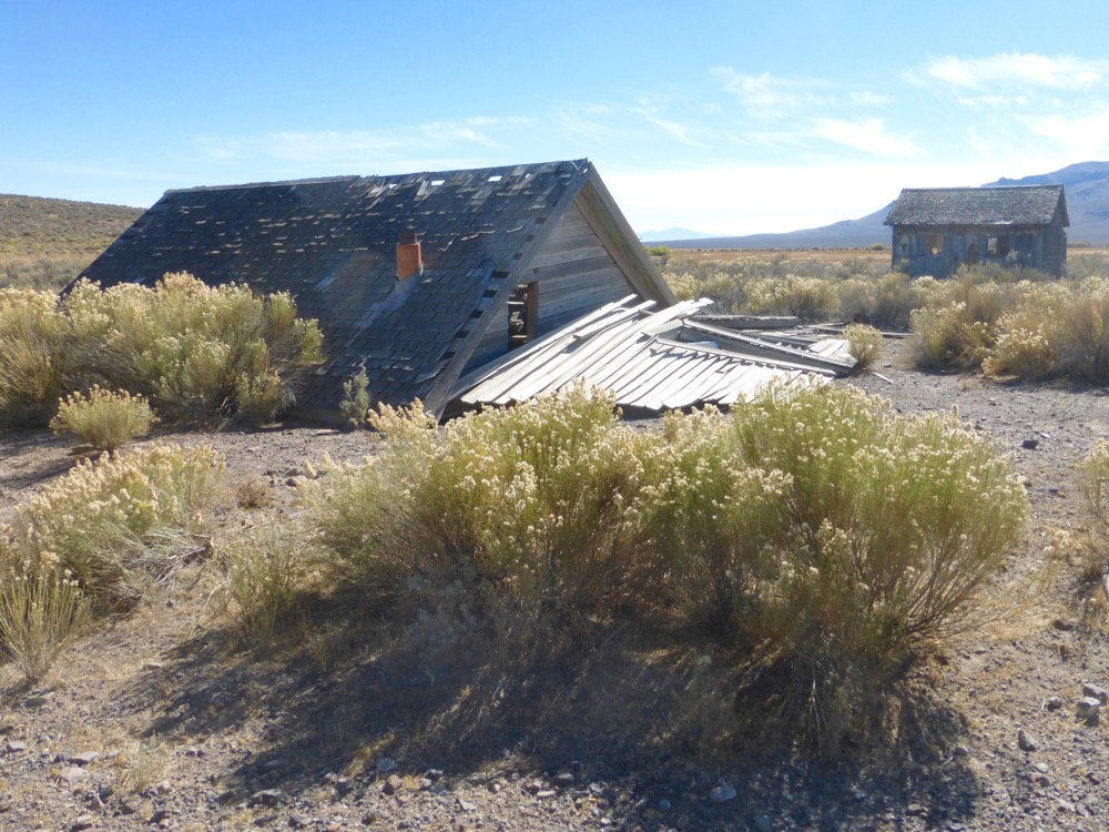
..site. I’d hoped to document the apple orchard, but the apple orchard, 60′ long stone barn, corrals and bunkhouse had all been eradicated; first by fire, then by the BLM, utterly. Probably a misplaced manifestation of their Black Rock City “leave no trace” policy but an extremely prejudicial erasure of history, surely. Like the Israelis, one comes to expect no less of them.
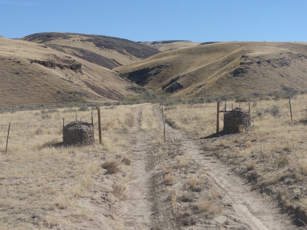
Lunch nonetheless [salsa and avocado on flatbread; cheese; coffee], then west, crossing 95 to Oregon Canyon road, finding non-erased history where O. Cnyn. turns north [soon after, confused, I mistakenly cut over to the powerline, only to bushwhack back along a fenceline [not shown] several bumpy miles later a mere quarter mile shy of the actual connecting road].
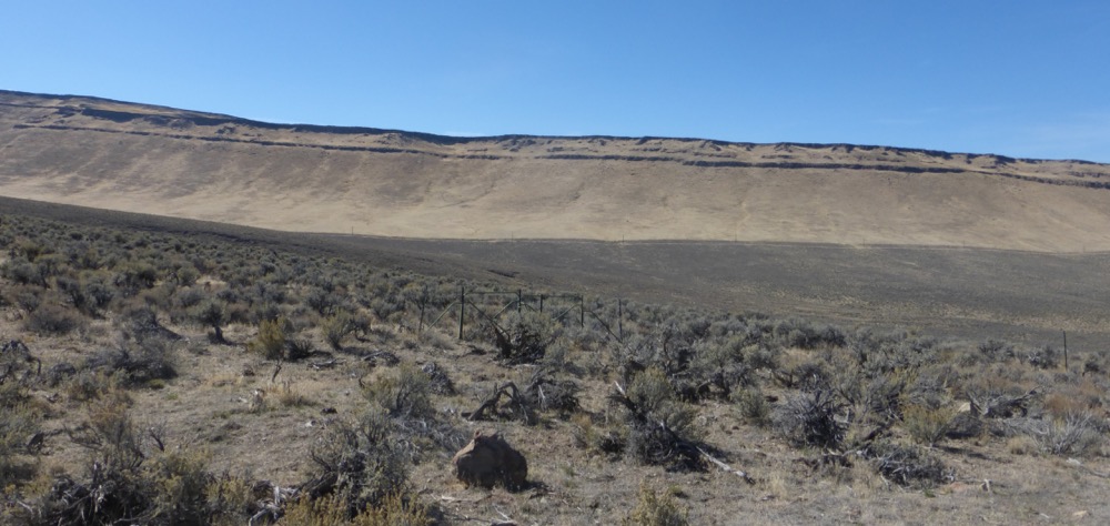
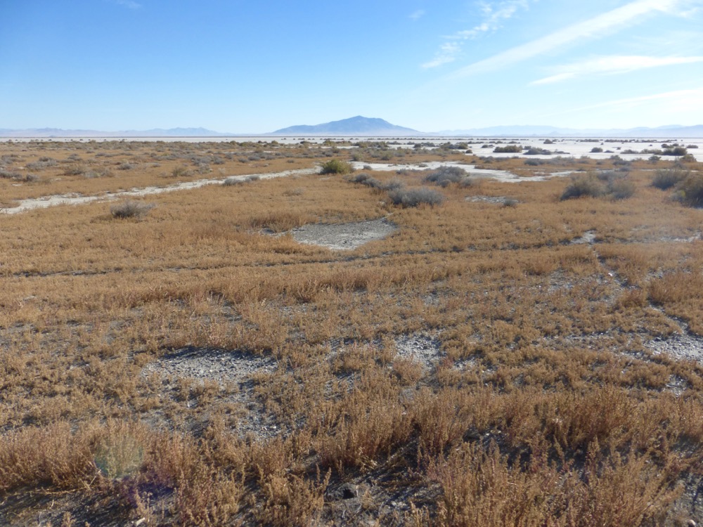
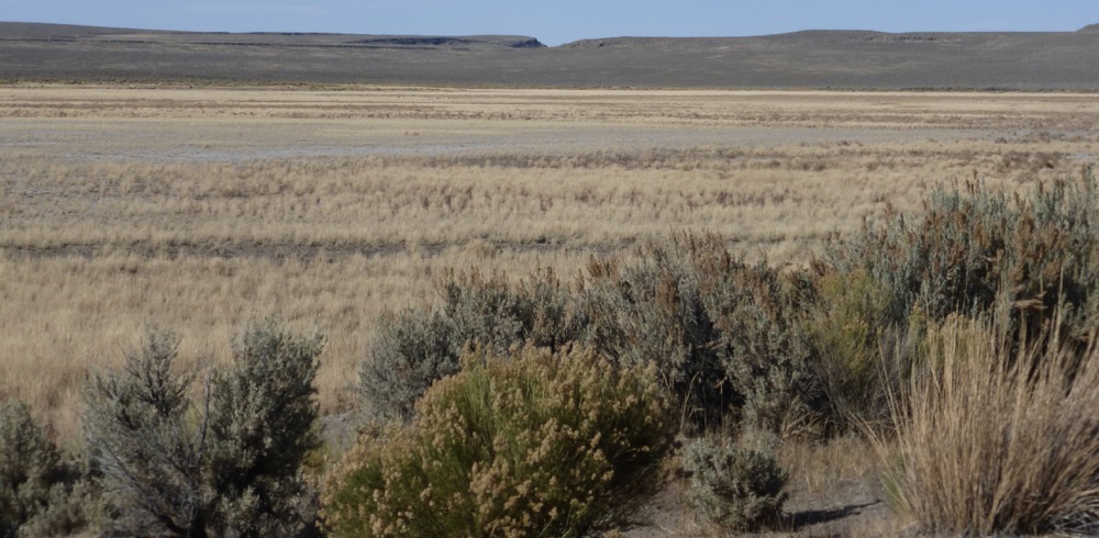
Oregon Canyon to Whitehorse Ranch Road, showing division between burnt [cheatgrass on right and slopes] and unburned low sage desert [middle].
Whitehorse Ranch Road at speed to the Denio-Fields Road via Trout Creek Canyon…
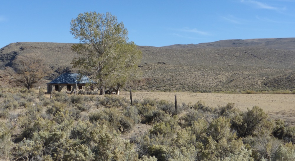
In the lower canyon the Old State Police Station, first observed more than forty years ago, remains not only nicely preserved but still an obscure object of unrealized desires;
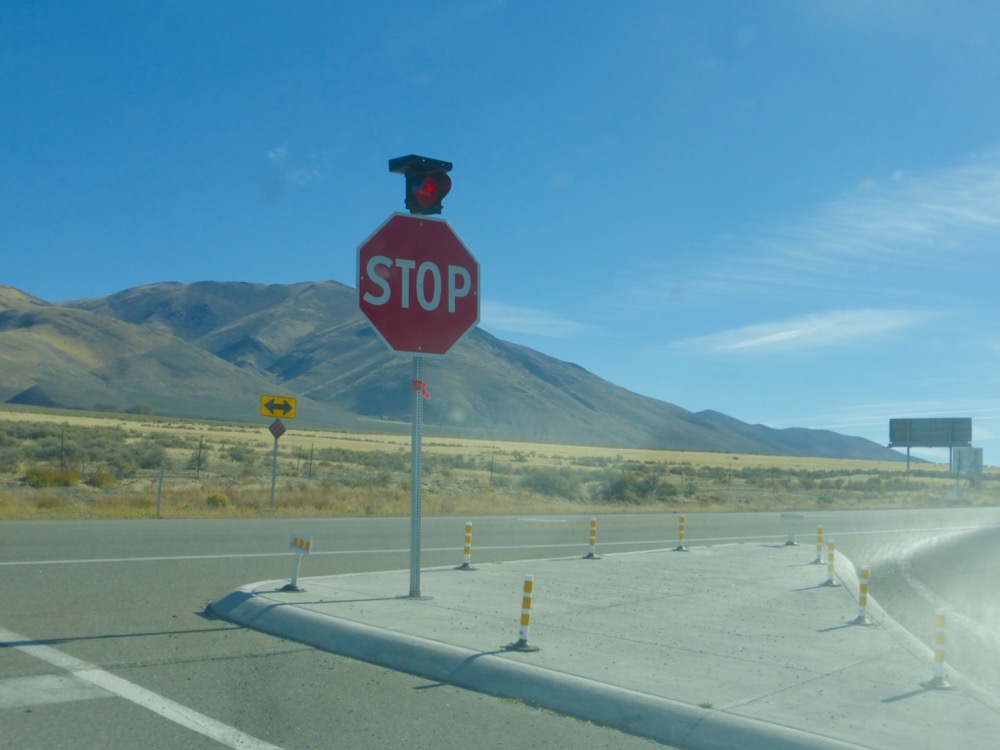
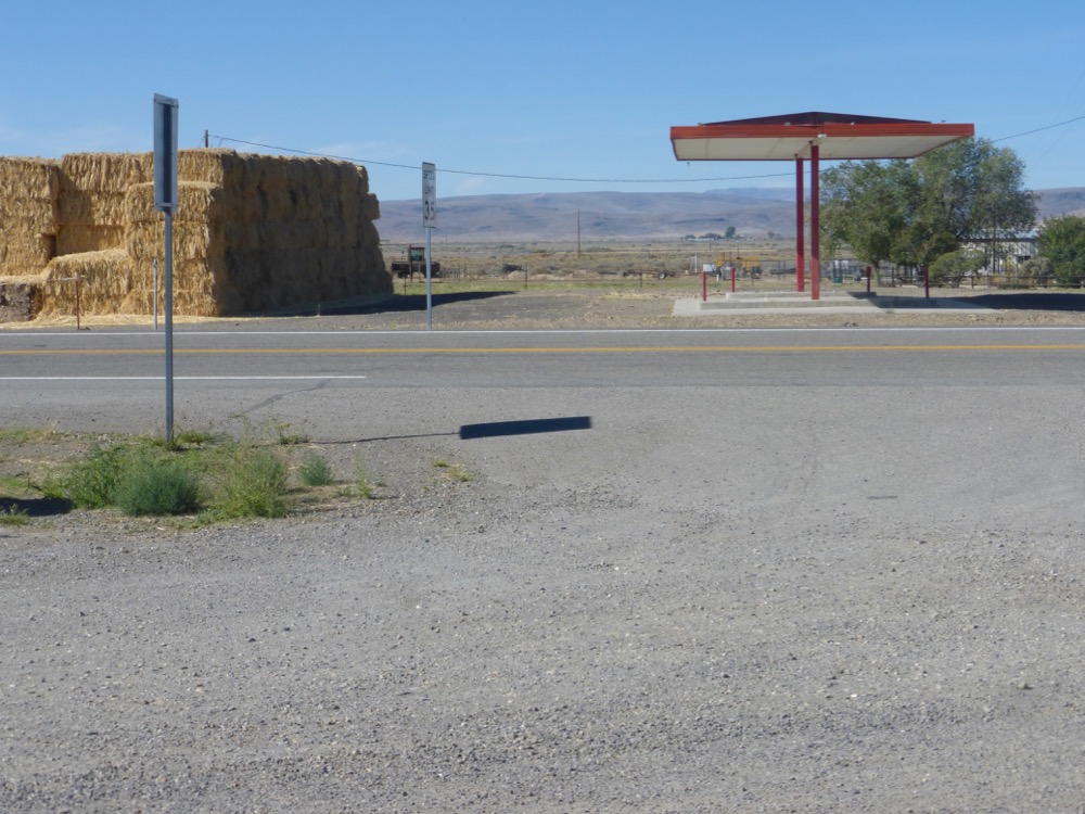
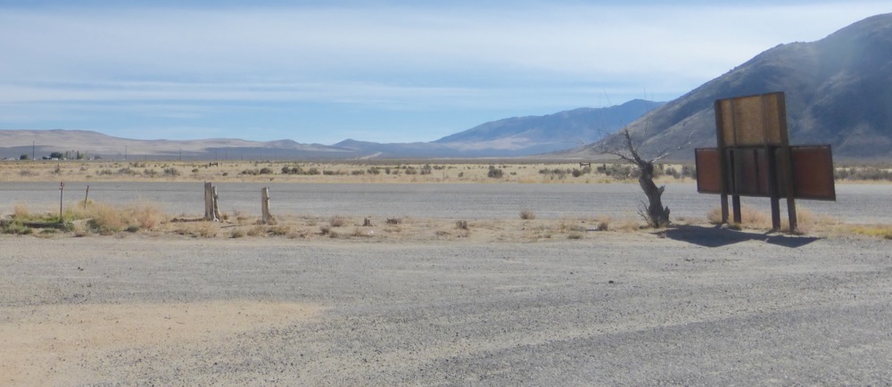
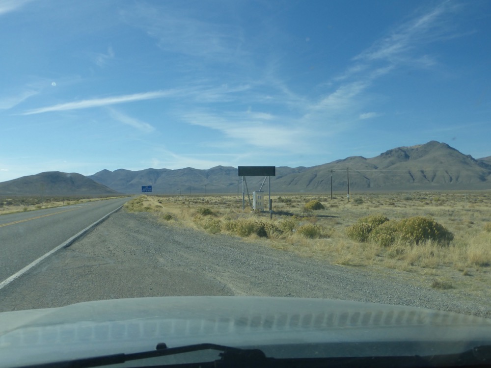
South on the Denio-Fields Road [not shown] to enter Nevada at Denio and rejoin 140 at Denio Junction, where guzzoline is no longer offered…
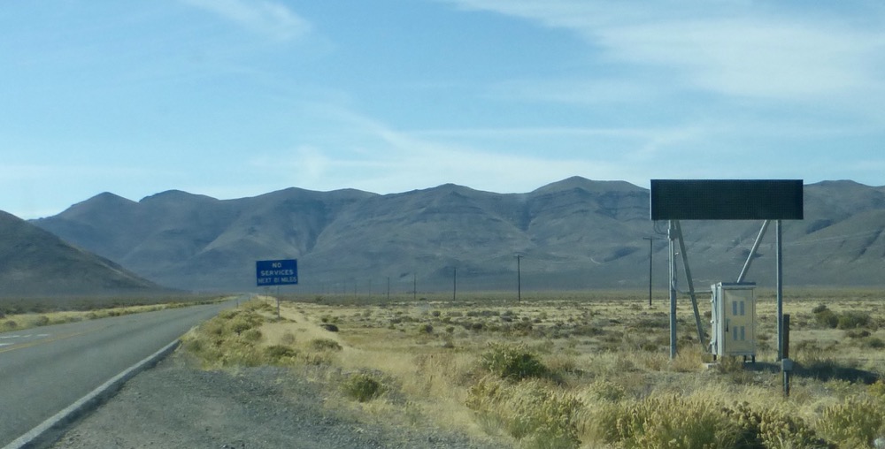
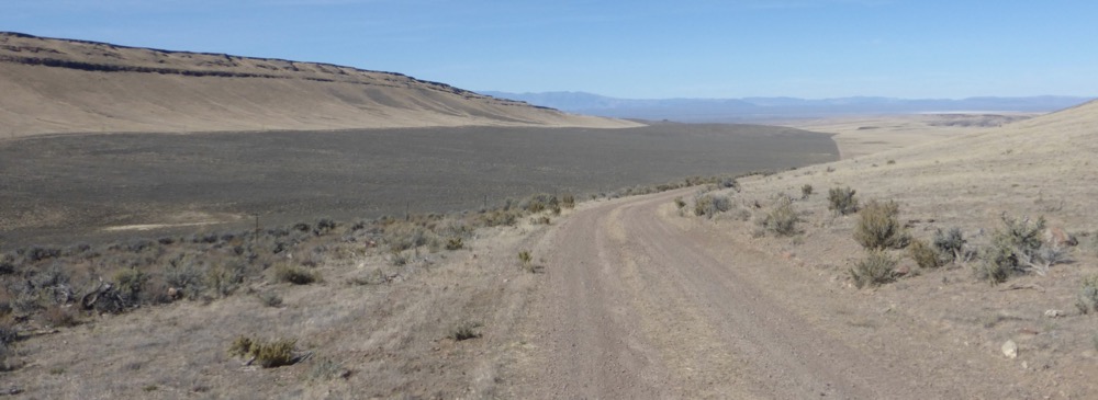
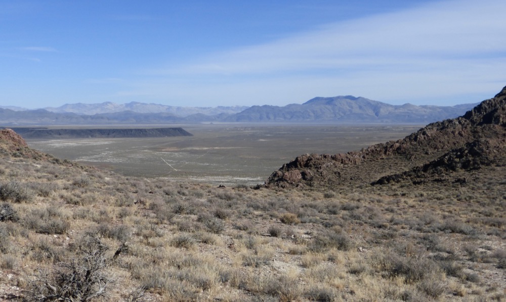
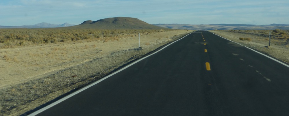
140 West from the junction; skipped Bog, continuing up Duferrena Grade to the Duferrena Rim…
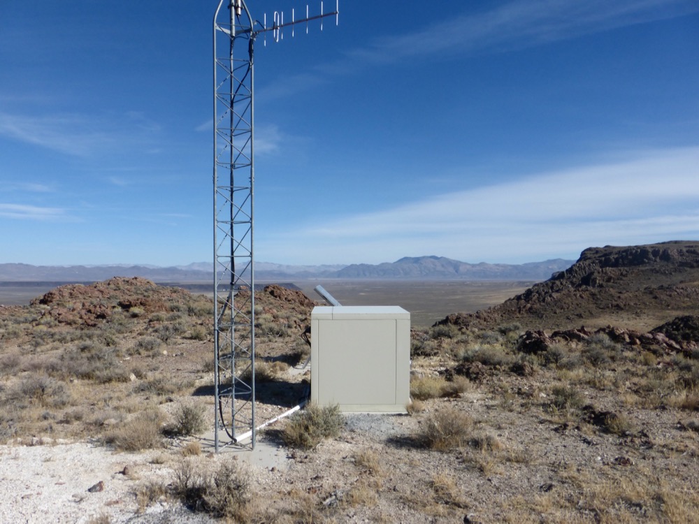
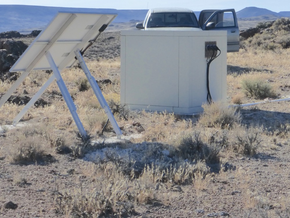
The Rim the site of many an overnight as well as the semi-aerial photography employed in my paintings from the mid to late seventies [and now the site of some sort of repeater station, though no cellphone reception] and this afternoon the site of a cold afternoon coffee;
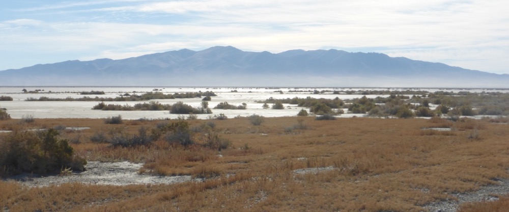
Virgin Valley Rest Area and then Big Spring Reservoir, where I once, wandering up an obscure track in an old-even-then beater Chevy, nooned utterly ripped on hash. Now replete with gravelly roads, “primitive” ‘campsites’ and plenty signage, but still no boating;
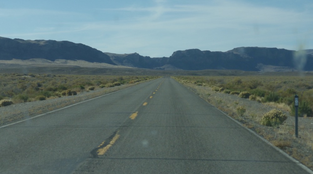
Returning to 140 soon turned on 8A, 45 miles southwesterly across the Sheldon into the sun, subsequently overtaking a commute of trailer-pulling cowboys approaching Vya…
One I pass on the flats, two turn south to 34, another two I overtake slowly ascending Little Mtn Pass and so descend to Cedarville for gas, then south down lower Surprise Valley…
After Bare Creek Nevada 447 commences at MM 130, crosses Duck Valley, summits the Summit and drops to Smoke Creek Road [CR33] at Mile 84 an hour out of Eagleville…
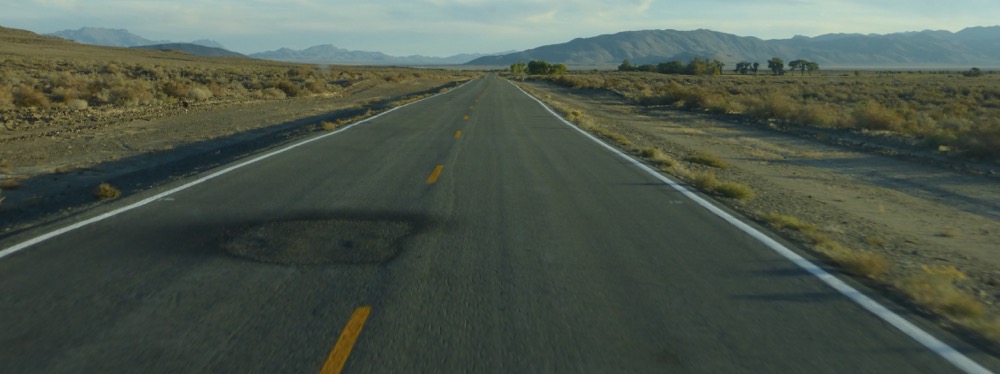
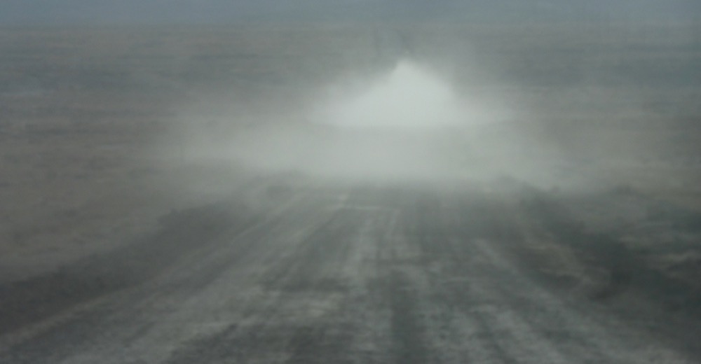
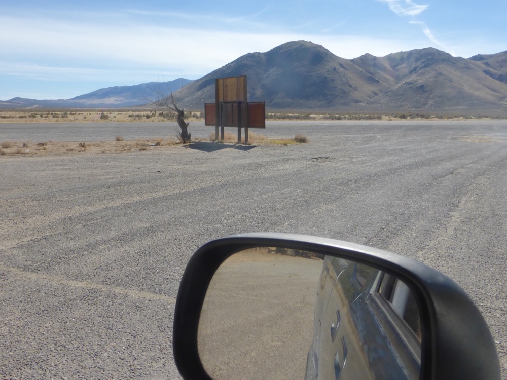
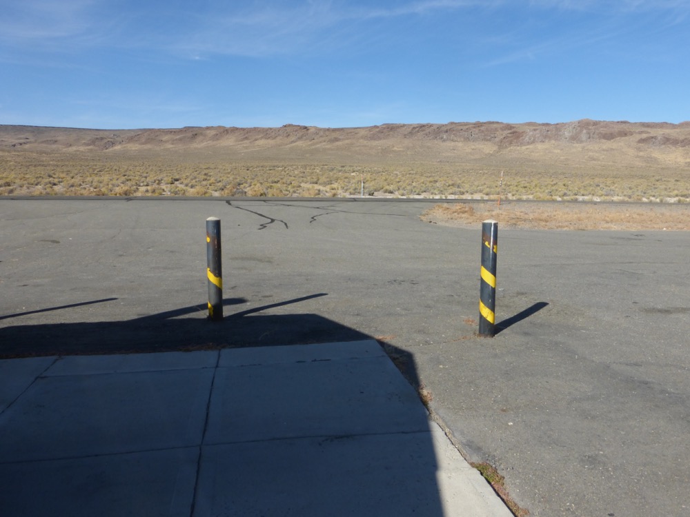
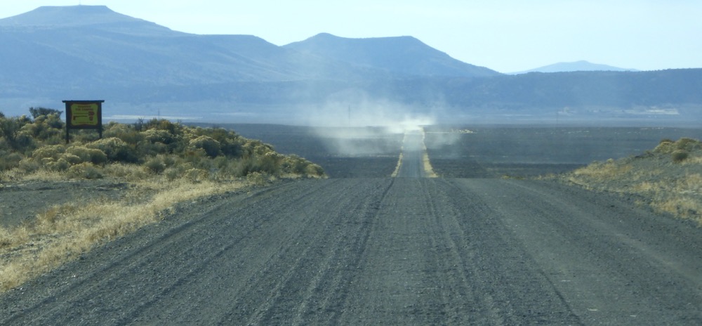
Wall Spring, six o’clock to the gate with dust adrift behind…and the odometer, before correction, says it was 447 miles. Hmmm…
“Will call when done, or if there’s service from some interesting places…”
M
447 miles in 9.75 hours… 45mph average? So, do tell about ‘the correction’ which needs to be applied to the 447, as I cannot imagine averaging 45 on axel-breaking potholes, etc.
Google doesn’t seem to know what to make of CR33, Jungo, and other places you went…
At the risk of exposing ( forever ) the actual locations you visit on fantastic rambles such as this… Have you considered bringing a GPS ( or a ‘smarty phone’ w/ such capability ) which would document your every wiggle ‘out there’?
You were really alone on this one? Not even the dogs? Hopefully you inspected your spare tire before heading out!
Do you know what substance the mine haul road is transporting?
Cheers, /dc
So I was dogless this trip; they came up Thursday from Benicia with L., and the mine ships gold; huge heap leach operation turning mountains into mesas.
As for the mileage adjustment I usually add about 10% for oversize tires…could be it’s a little less, but not much. If the roads are in decent shape a person [well, some people] can tear along many of them at seventy or so, and I wasn’t stopping much…
Google remains [as you might remember from visiting] pretty hopeless out here, which will at least keep us safe from their self-driving cars for awhile; CR33 admittedly hasn’t existed as such for awhile, but as the County keeps changing its name [for awhile they called it Surprise Valley, which is seventy miles away in another state; presently it’s Sand Pass Road] is more in keeping with CR 34, the only other north-south route in northern Washoe…as for Jungo, try this; http://blackrockdesert.org/wiki/index.php?title=Jungo it’s still a siding on the WP, but rarely used.
I’ve never considered using GPS, being addicted [though not addicted enough, given my little powerline detour after lunch] to that ancient analog technology of paper maps [the older the better, within reason]; the ones I’m using on these trips were surveyed in the seventies, but very little has changed up there since. On the Oregon side the locals continue to remove all the roadsigns, for reasons known only to them, so discretion, discretion…
Mike…this is a trek with scope and nice photos.
I had a friend long ago with a [cattle?] ranch in McDermitt tho I never visited. Ugalde was the name.
Glad you could revisit the spots of yore. Apple orchards in the mind.
Ann
Ugalde sounds like the name of someone Dave Rumsey contacted when we were lookiing for land out there [before Radar]; cattle ranchers for sure, who might even have owned the disappeared ranch. I wonder if they happened to lose a little heeler-type dog in 2012 on the Owyhee. If they did, we’re still not giving him up…
The orchard idea was inspired by Adrienne’s partner [in crime and Ryus Avenue Bakery] Mary, who in her retirement is ranging around the Huerfano investigating and documenting ancient orchards; we had lunch, I remembered this one [when last there, in fact, I’d gathered some quite good apples] and promised to go back…memory, now…
Finally got back here to the hits…my friend Karen Kosek Ugalde died young, decades ago. Her mother was a Native American orphan who was adopted by an Oklahoma oil family and thus had a great deal of security back in the ’50s. Memories abound.
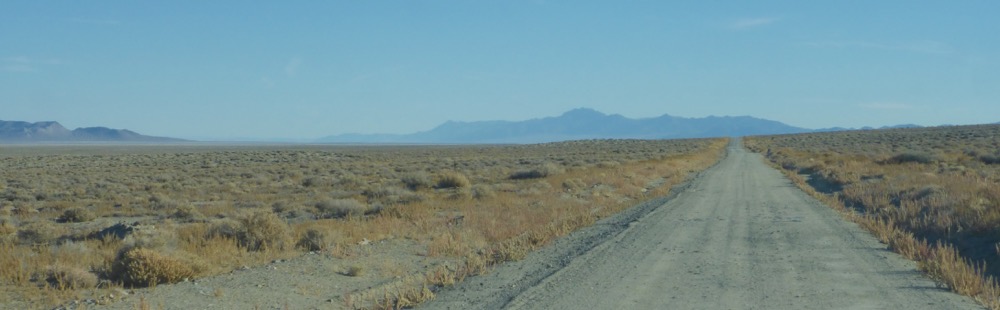
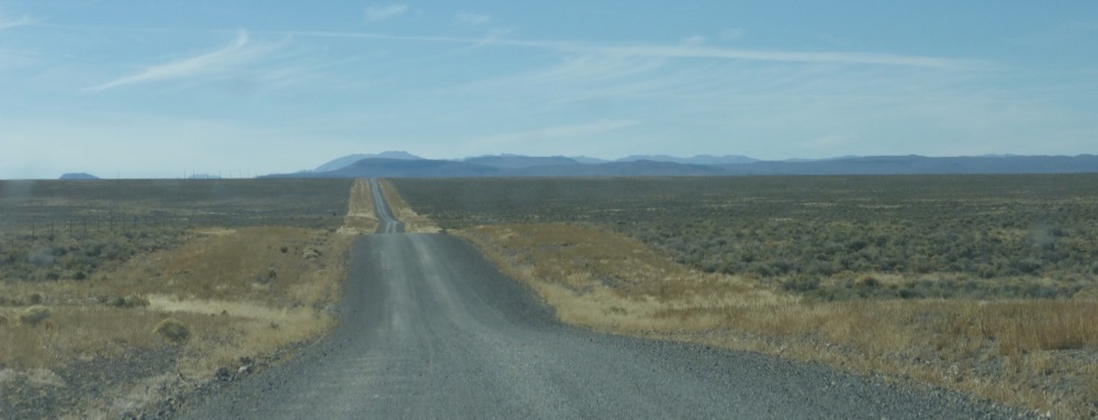
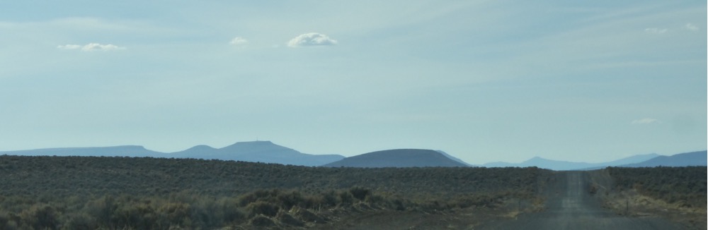
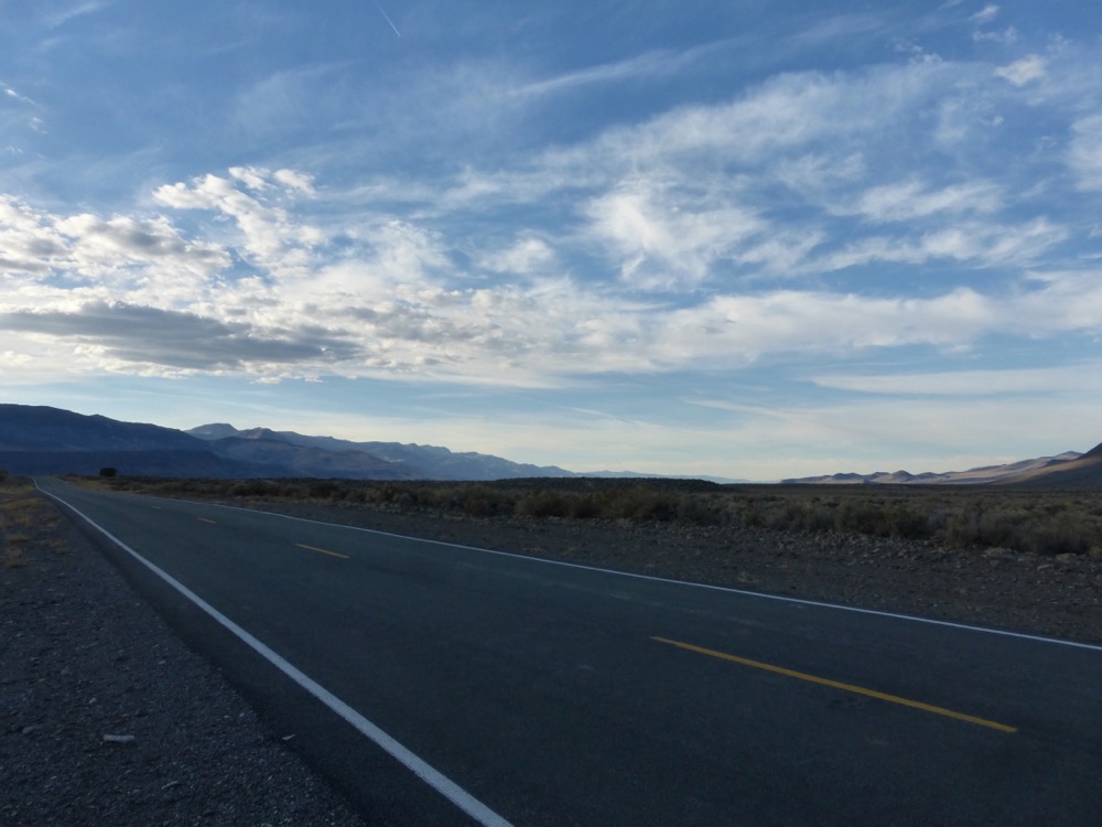
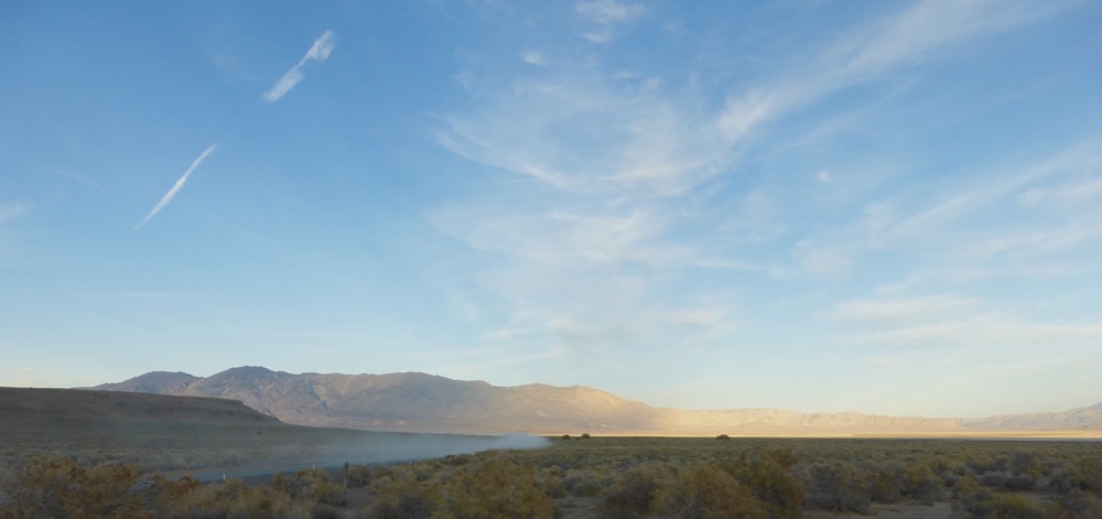
Wow, that IS the Great Circle route…and a lot of driving. Our more modest route last winter in the borrowed RAM afforded adventurously slick roads and better storm-light for photography, but you sure covered a larger area. Your final (almost home) photo is a great summary; Tundra dust, distant light across the playa, the Granites, a fractured contrail and cirrus. Gotta love those wide-open spaces!
Almost home and already planning, weather permitting, a Lesser Circle for November, wanting to go up 34 and across the Sheldon in more forgiving light [what we might have done in the Dodge if it hadn’t been so greasy] to Duferrena and back…
looks great but I need a map for orientation.
Not only did I enjoy traveling with you, I loved reading the comments of fellow travelers! I like the ’24 hour’ light quality and change…all the same day. Like Ann, I think I will follow with a map next time I do it. I think somewhere around the house I have something featuring Duferenna. I remember following one of your trips in the mid-seventies, while you were doing it, with a standard map. I do not need to know all the details, just general areas. 🙂
Pingback: 12:40 P.M., 26 June 2024…heading back. | Michael S. Moore