…or, a day trip to Winnemucca and back;
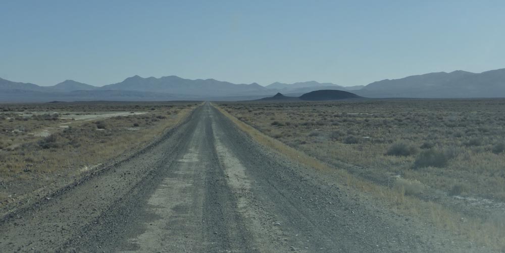
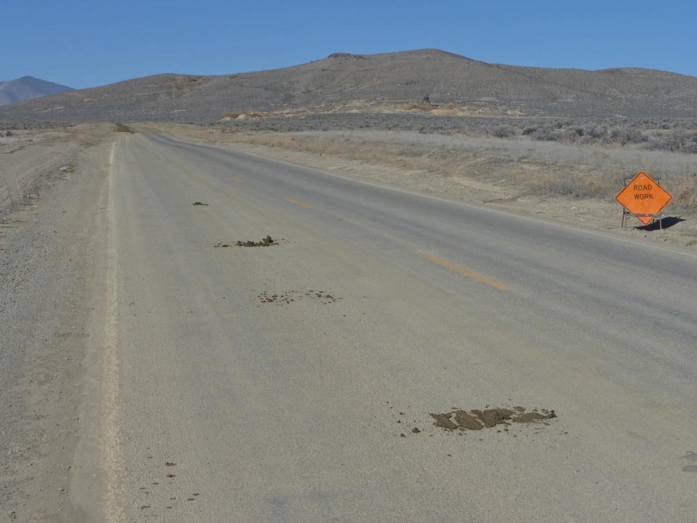
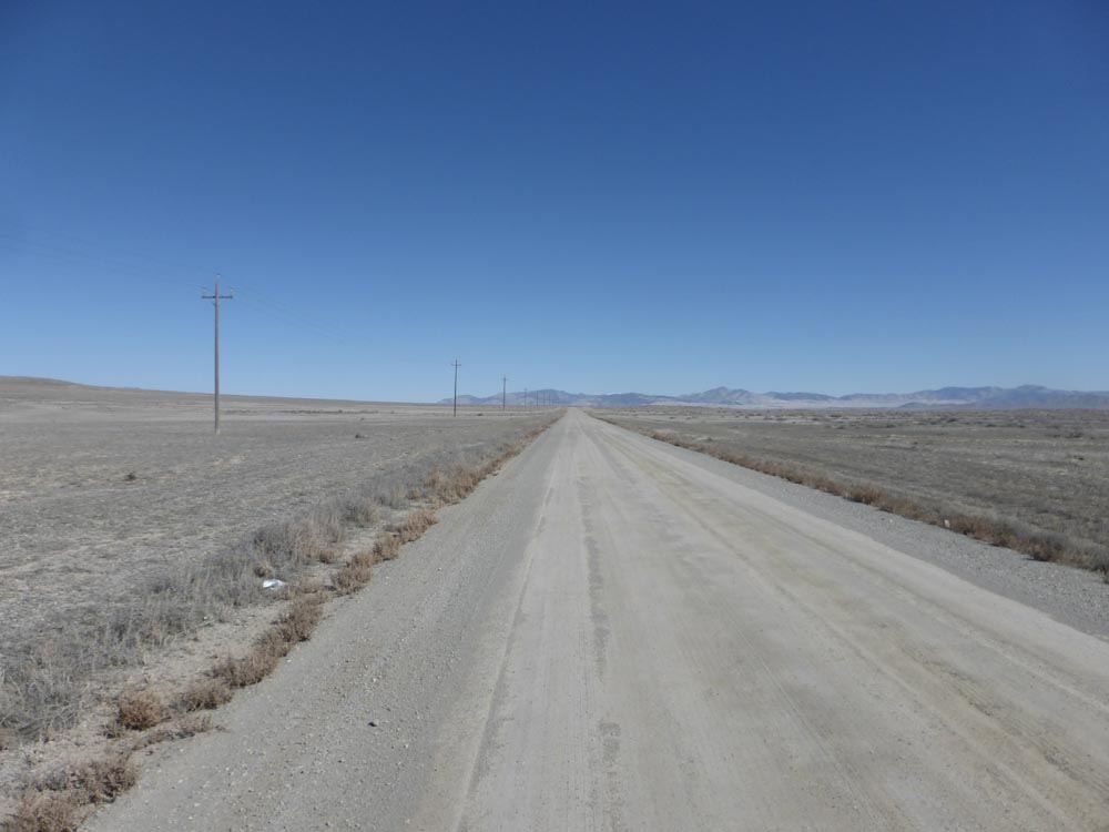
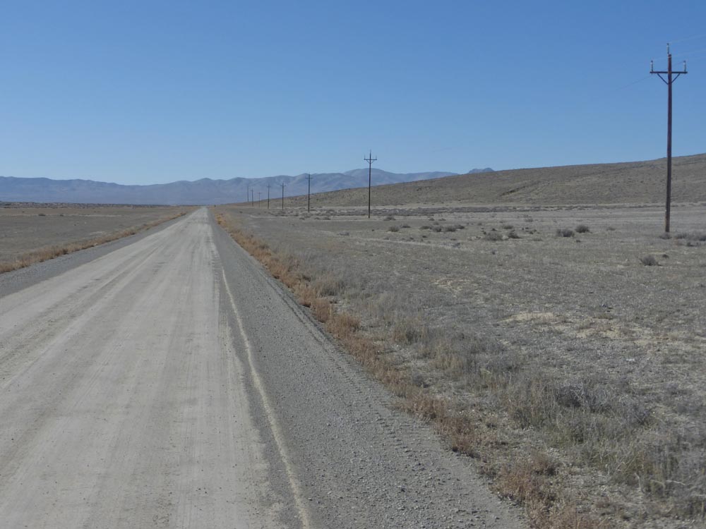
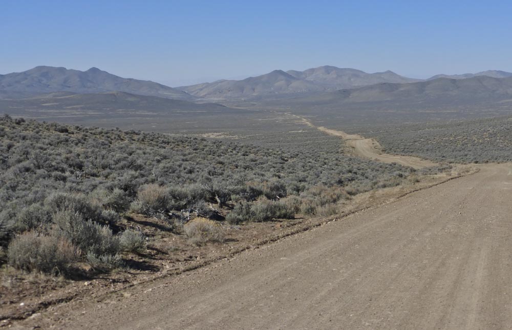
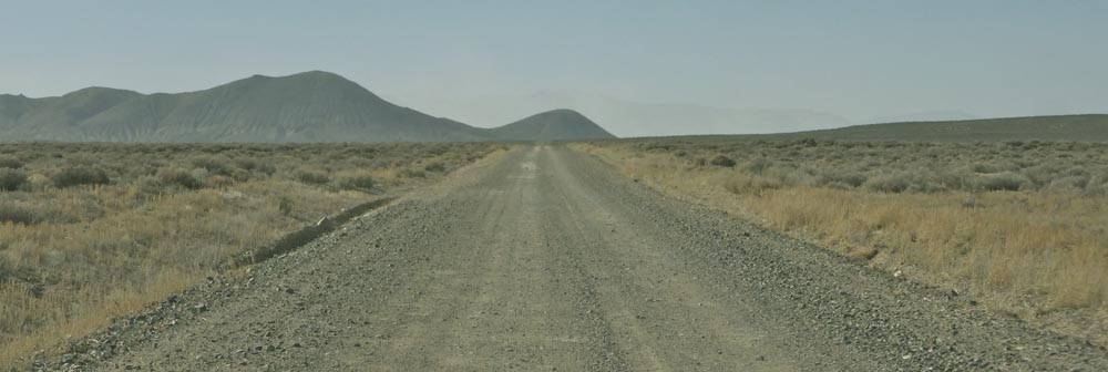
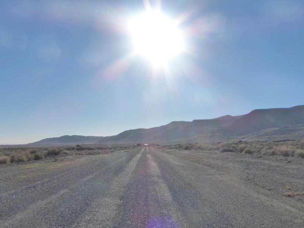
After sunrise and a quick stop to drop Willey’s tires at the Gerlach Shell it was east along the High Road, 96 miles from the pavement of 447 to Winnemucca, pavement there beginning a little before 95, both in terms of the mileage and the Highway. The road’s surface was a little sketchy until Cholona…
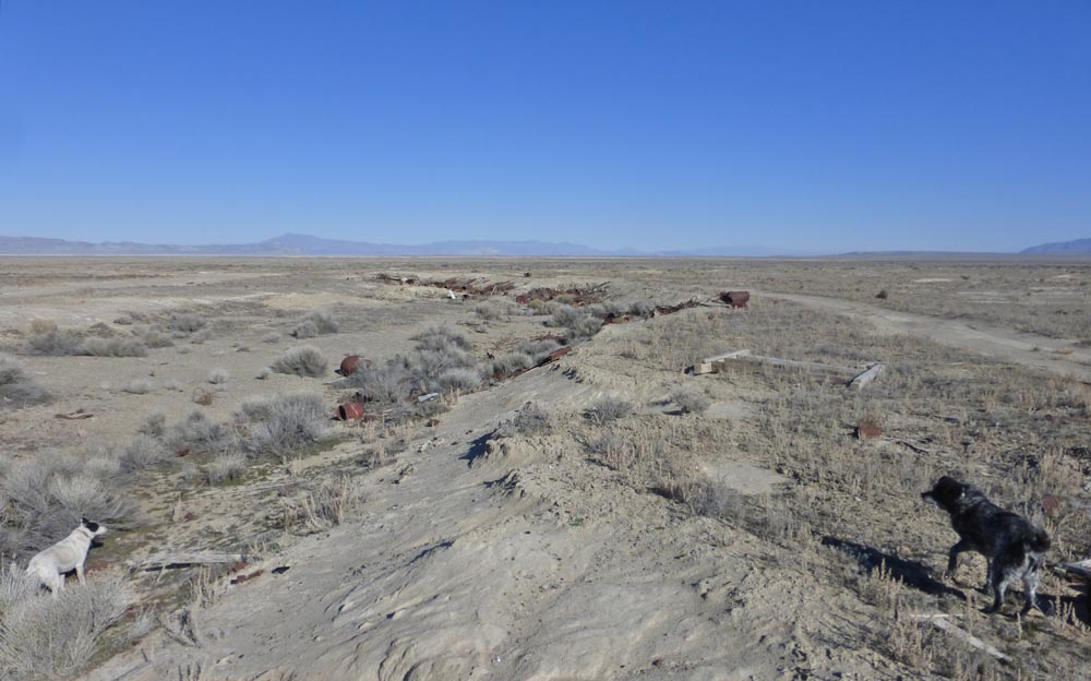
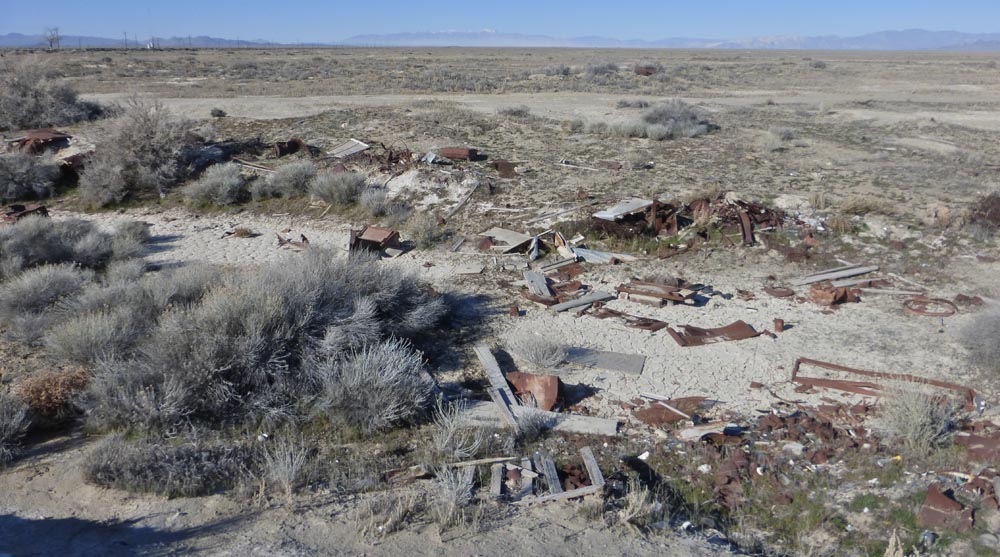
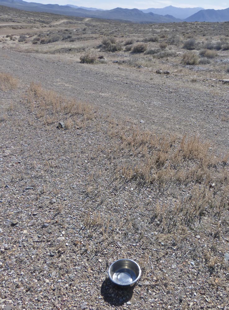
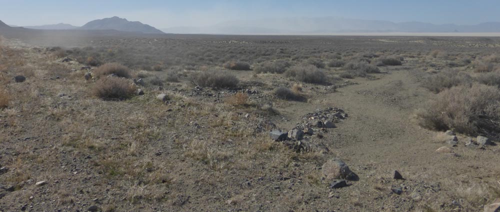
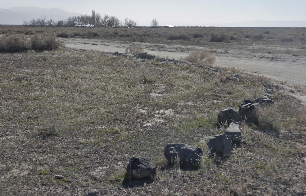
After which more insane speeds became possible until stopping at Sulphur to survey the dump, now completely stripped of anything of interest [i.e.the many vintage abandoned vehicles of years past, a situation sadly endemic throughout the area as scrap prices soar and industrious tweakers become ever more ubiquitous]
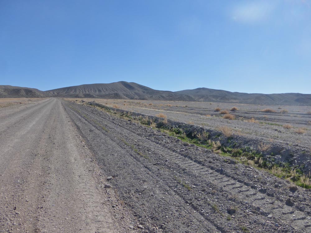
…and to observe the ever expanding activities of Hycroft, moving mountains for gold while turning the remaining fifty + miles to town into a dirt superhighway;
So on to Winnemucca, unsuccessfully seeking barn lights though managing to renew our driver’s license, a driver’s license ‘ordinaire’ without that special tracking chip [the “Real ID”] that is supposed to make life in the surveillance state SO much easier…for the surveillors, anyway.
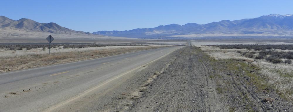
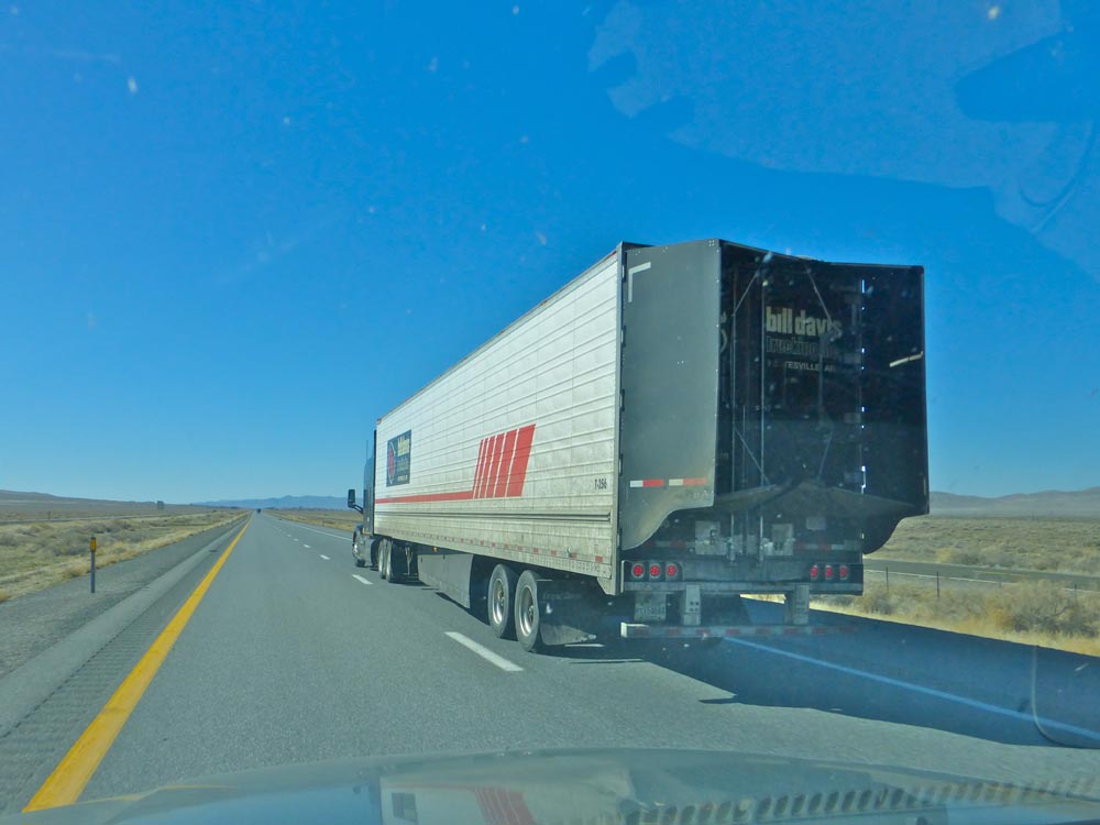
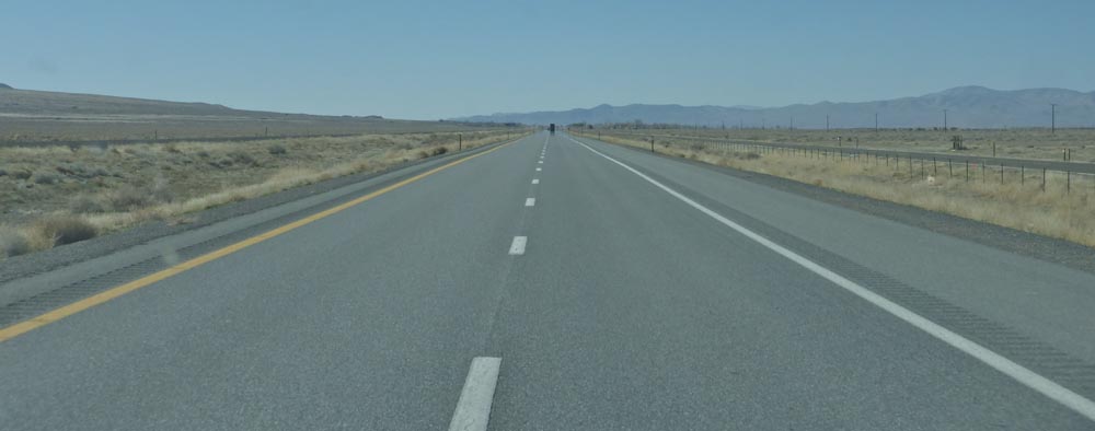
By a bit past noon back on Highway 80 at 80 to Imlay, somewhat [but not much] less speedily across the desert thereafter…
[east and west, north of Imlay]
[southeast and northwest, Imlay Summit]
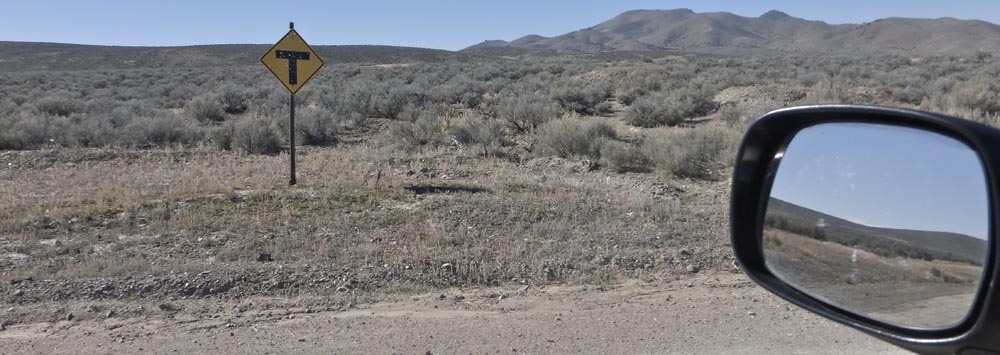
Turning for Rosebud Canyon…
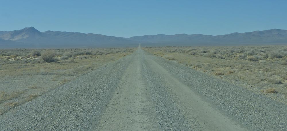
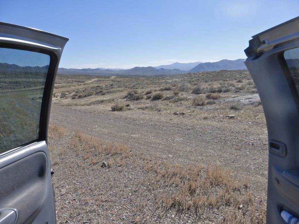
…lunch looking south from the western side of the Kamma Mountains;
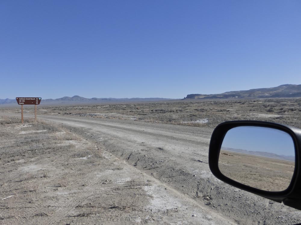
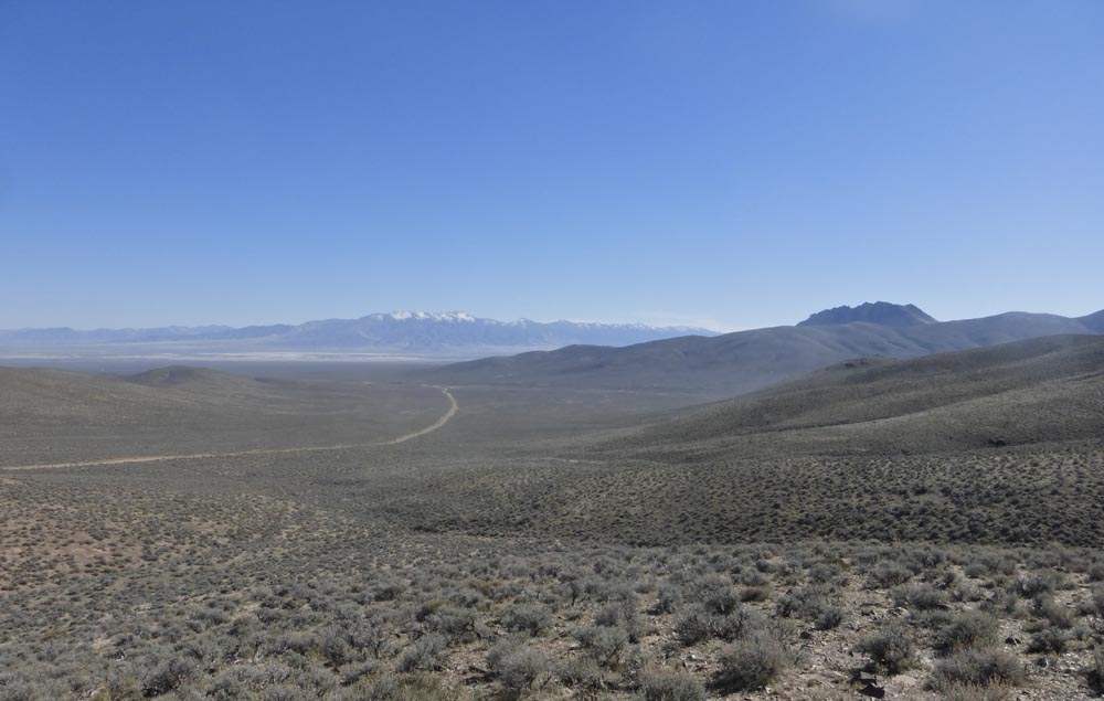
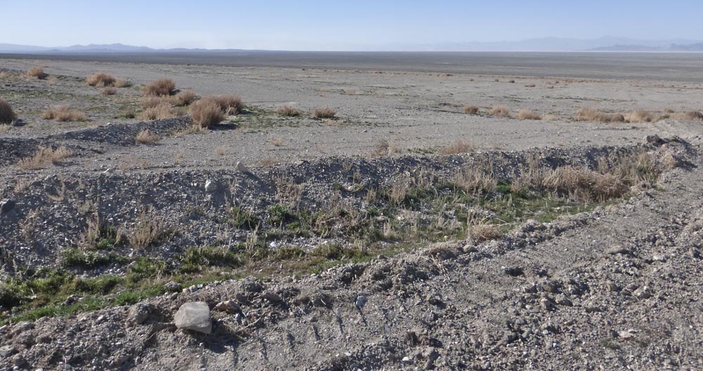
…the Kammas from their northernmost alluvium, the Black Rock Desert from afar, Sulphur again and west on the High Road;
Gerlach gas station redux, a quick visit to Planet X ;
…and home, where the vast roof of the repository stands out gleaming in the afternoon light…
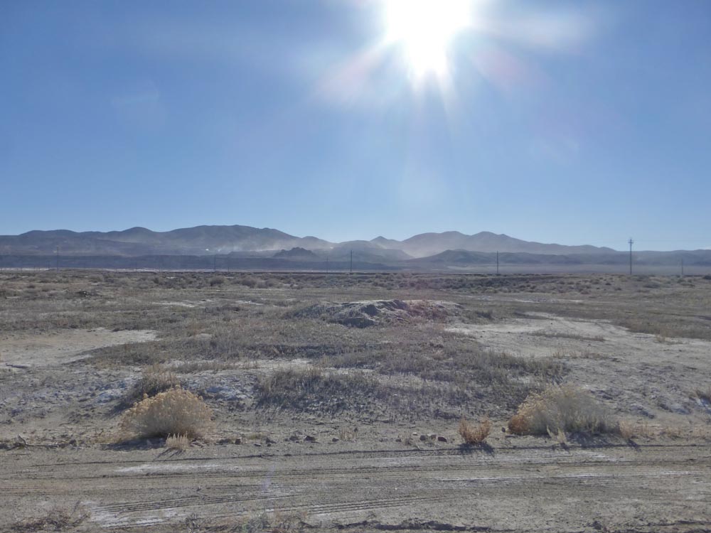
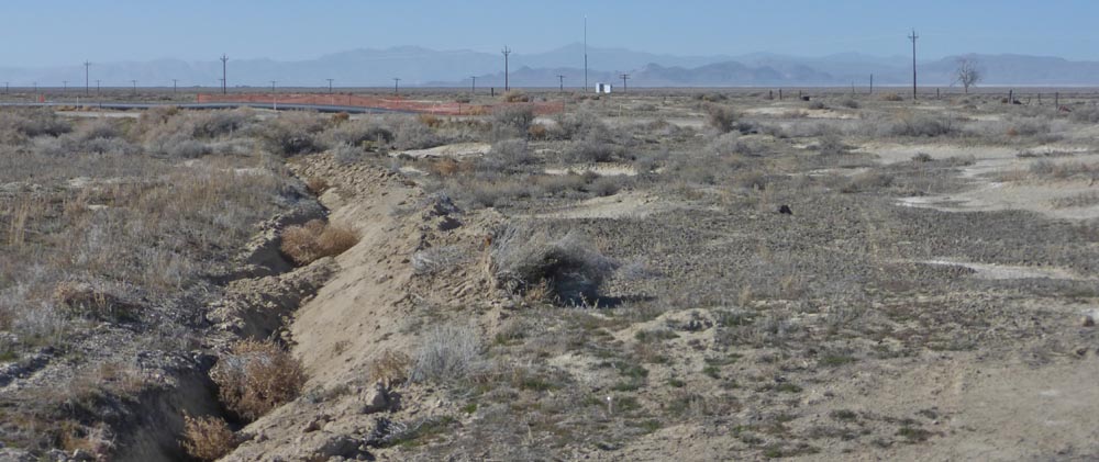
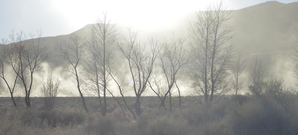
and February dust hangs over Sand Pass Road…
M
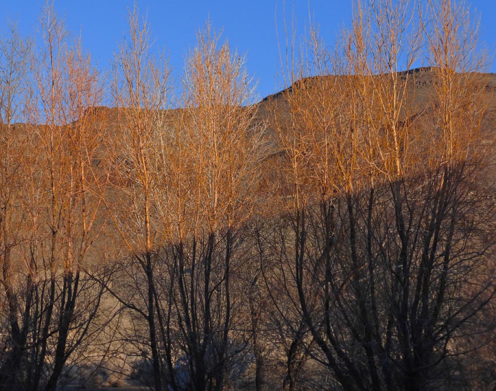

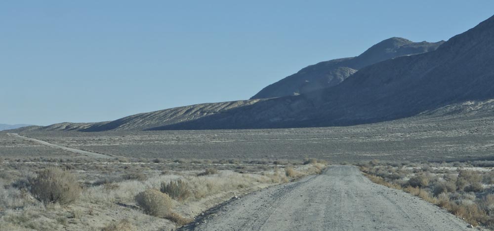
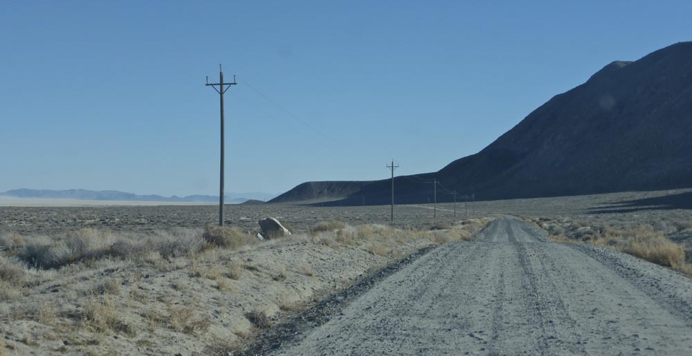
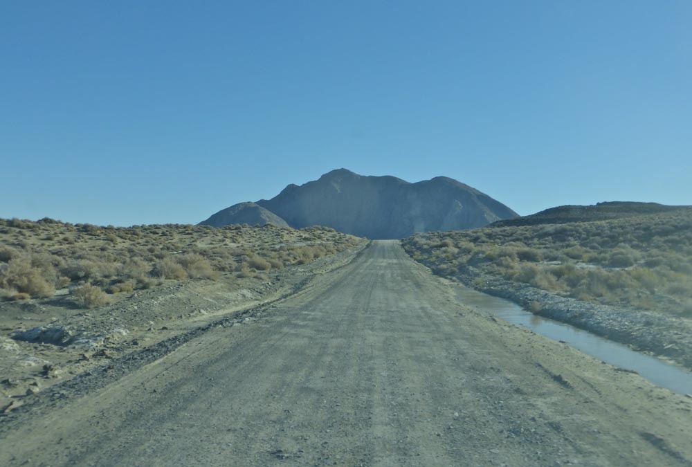


I so do love the pale dirt roads snakeing over the hills. Thanks.
And you’re getting them [the posts] again – good!
Where is this ‘High Road’ east of Girl-Lack, towards Winnie-muck-muck?
Is it aka NV 48, NV 49, or Jungo Rd?
Maybe if you upgrade your drivers license, I can consult ‘the shadow government’ as to your whereabouts?
The High Road does seem to be correspond to Nv 48, NV49 and Jungo Road, all [except the Jungo designation, now aka the Hycroft Freeway, news to me] and yes I do assume, once upgraded, the shady government will be happy to share my whereabouts with you and all their other shady buddies…
Even with the odd and unsettling human activities that touch these otherwise remote places, your photos of those landscapes are almost as beautiful as your paintings, Michael, and in a world-weary moment transport me to their vast quietude. Thanks for sharing all of this with us!
maybe the less interesting dump indicates a cleaning up recycling (of metal) that is positive
…what it indicates [aside from, yes, selling what the BLM designates as ‘historic artifacts’ for scrap] is, yes, recycling. But to my mind not all recycling is created equal…