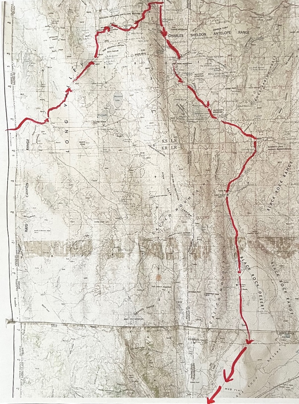
...Reservoir to Place…
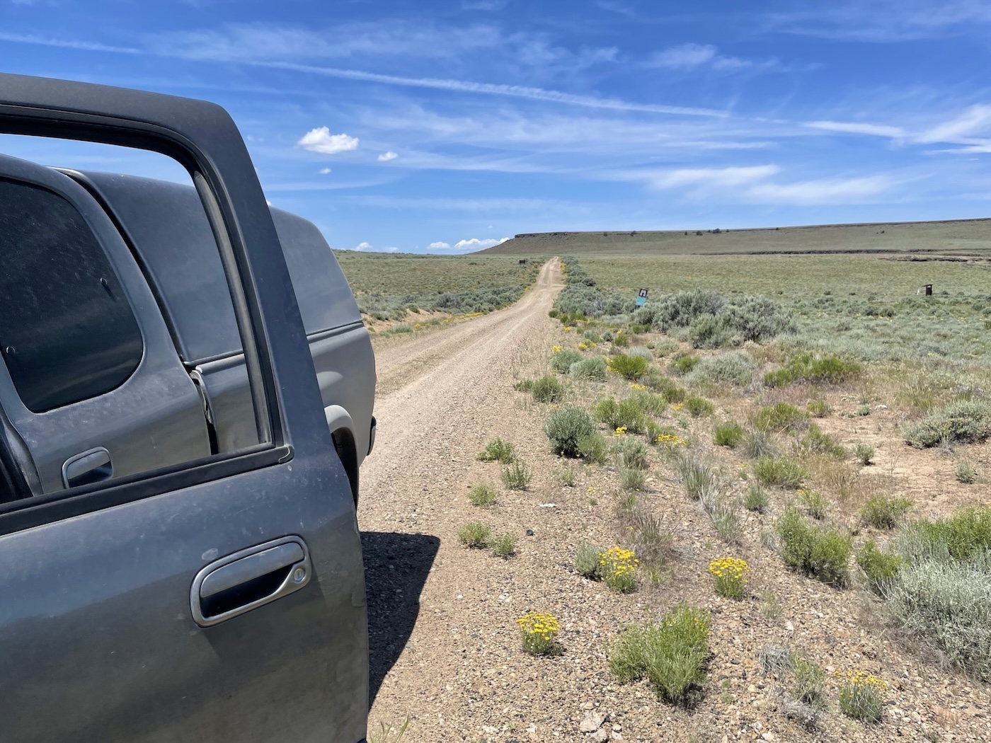
So a mile or so up from the reservoir there was a less trafficked track signed [unlike over the border in southeastern Oregon where locals routinely remove all signage] for Little Catnip
Spring; just the road I was looking for. There was supposed to be a campground on the way in,
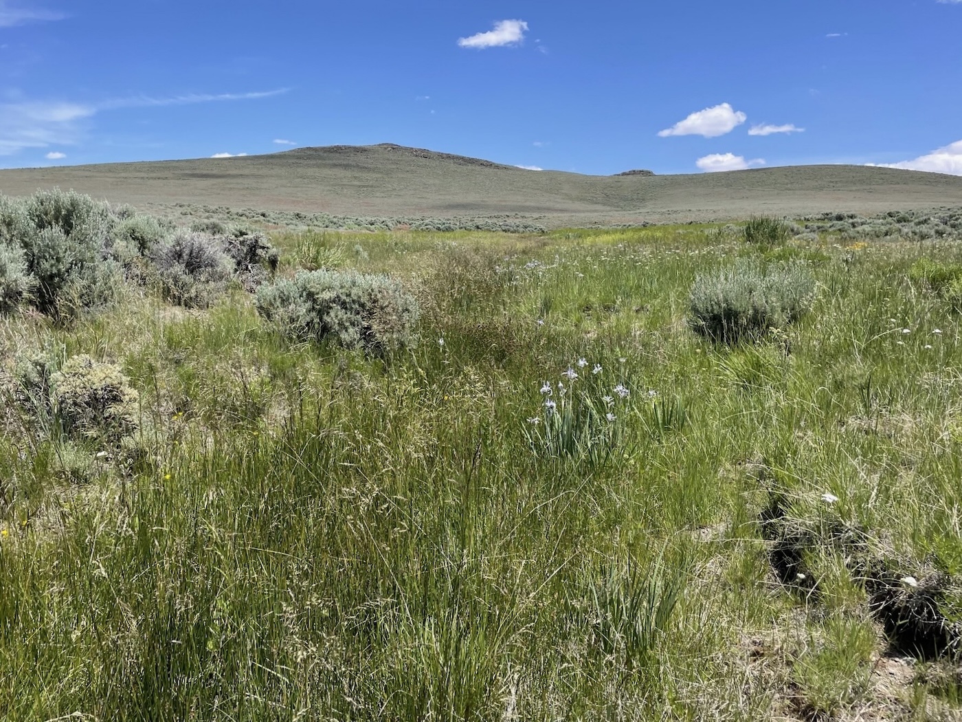
but it sure wasn’t evident though the Spring, which turns out to be around
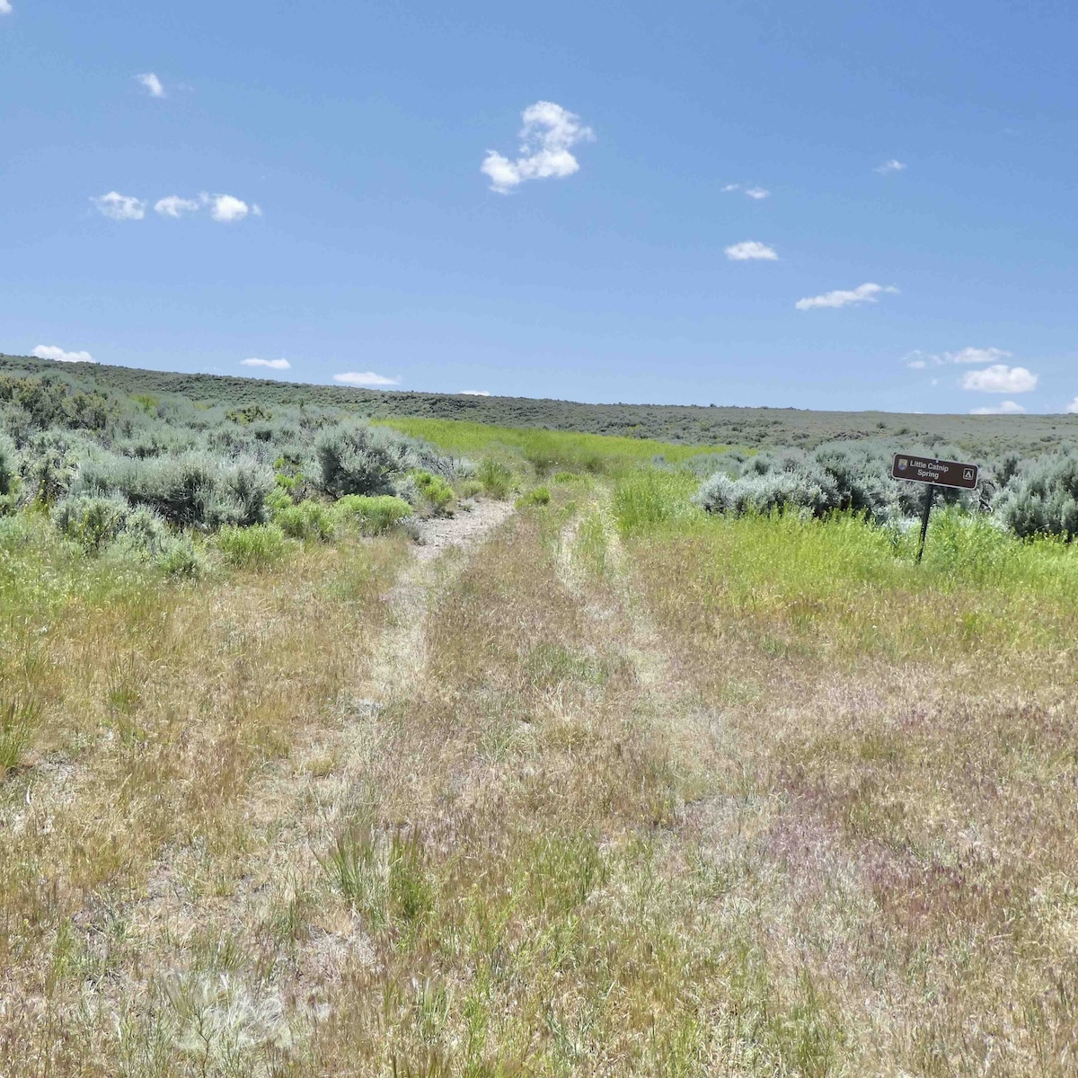
6100′ elevation, was plainly marked, marking the End of Designations for awhile.
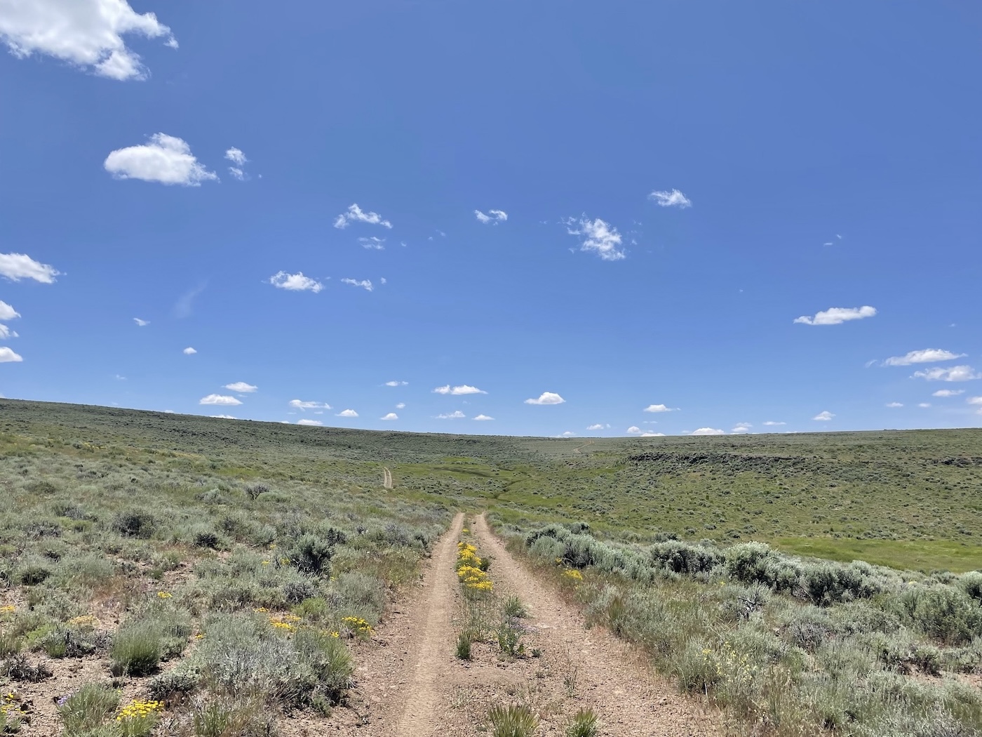
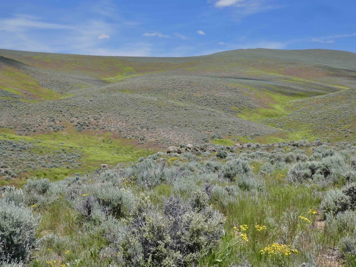
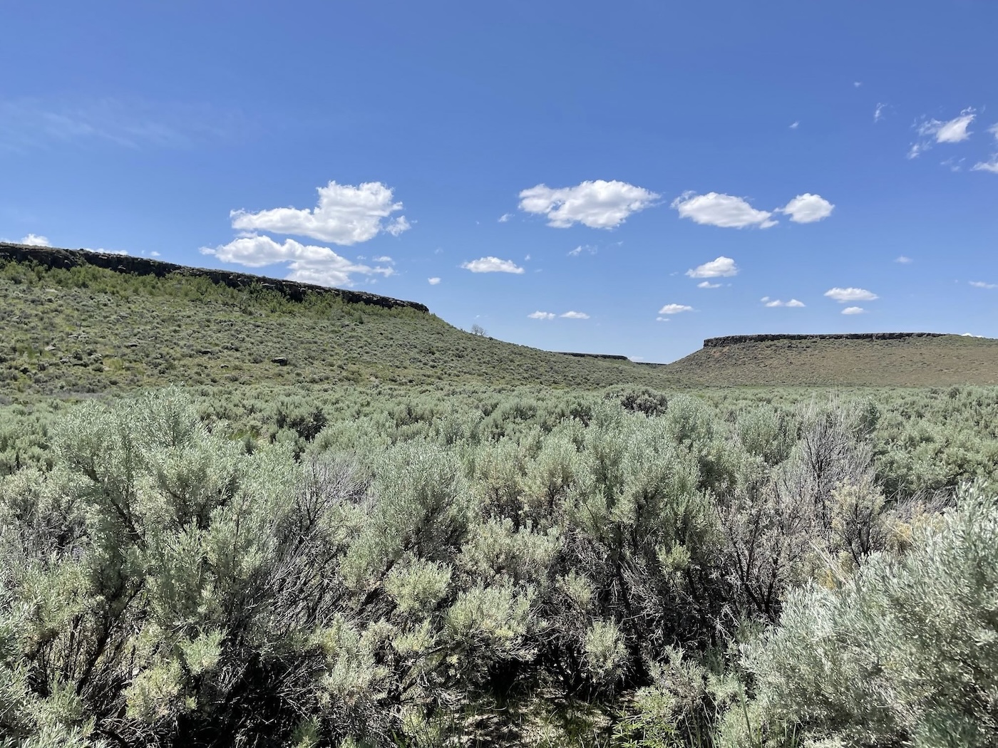
Not the end of the road, tho, which continued on a bit higher, contouring the western
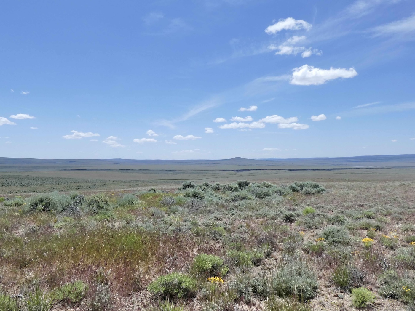
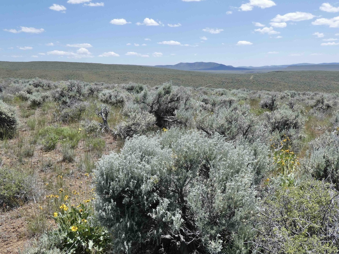
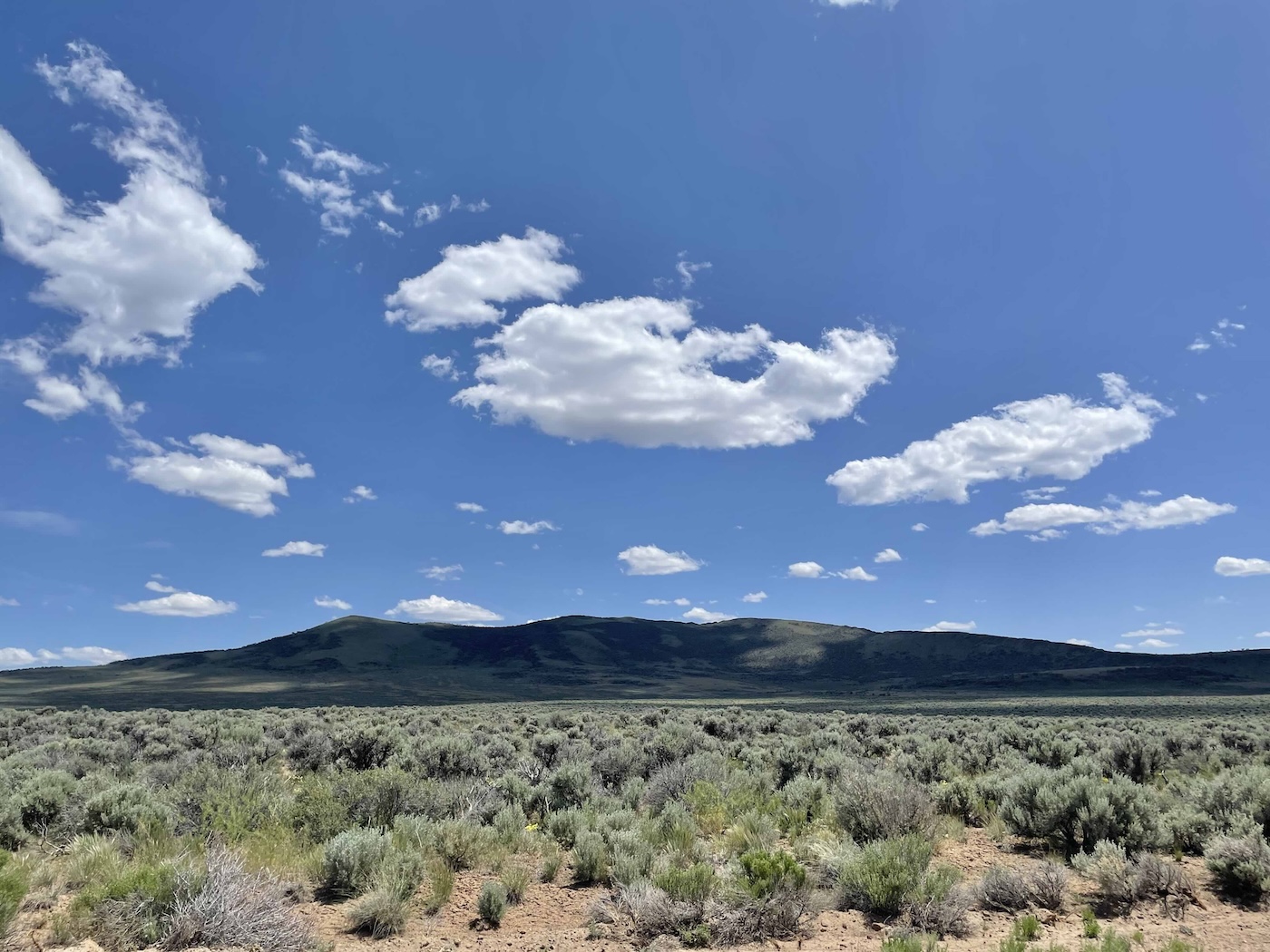
and southern slopes of Catnip Mountain at maybe 6300′
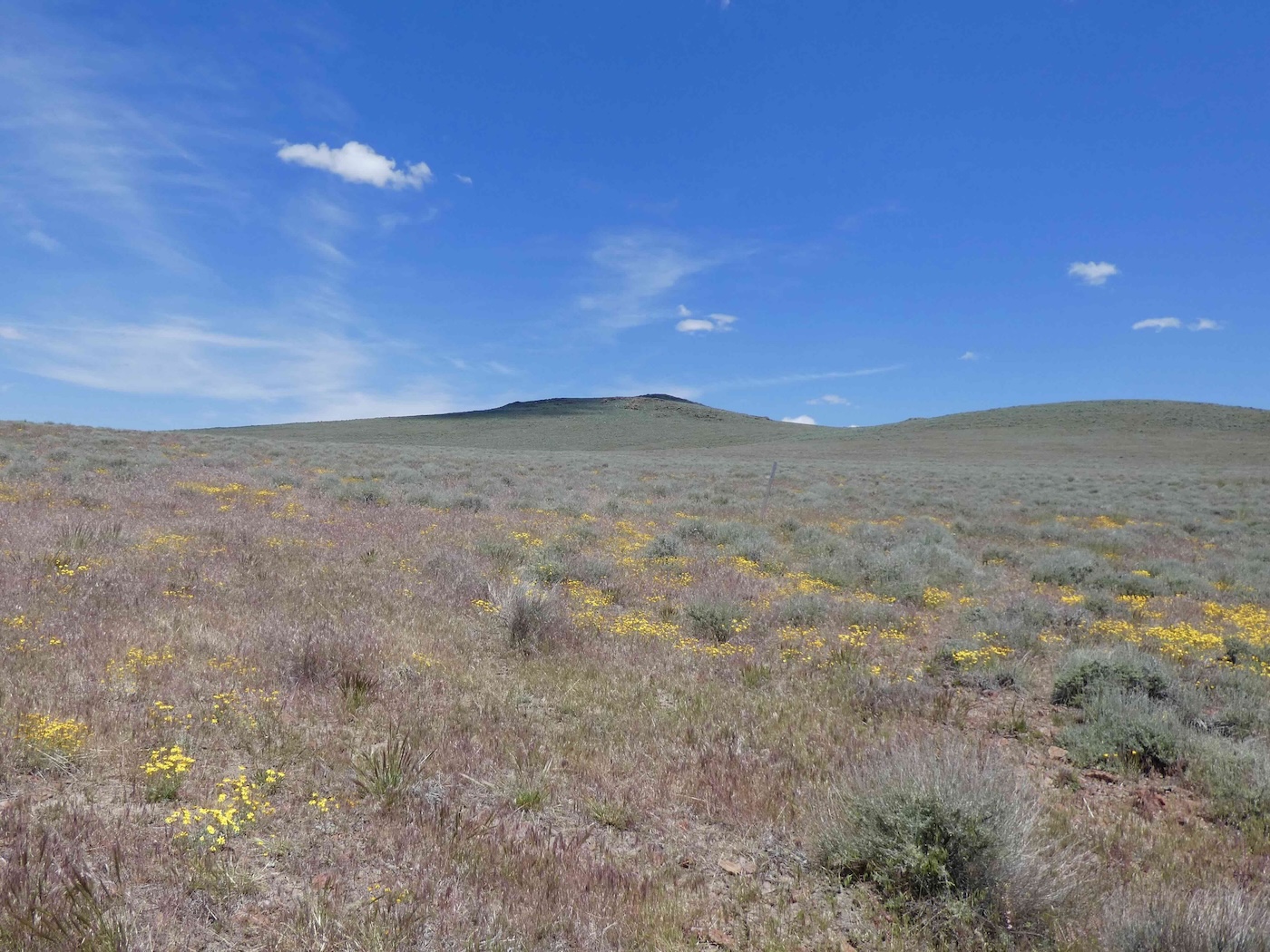
to eventually reach, south and east of Little Catnip, what they call West Catnip.
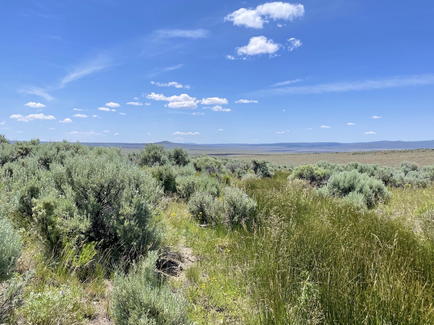
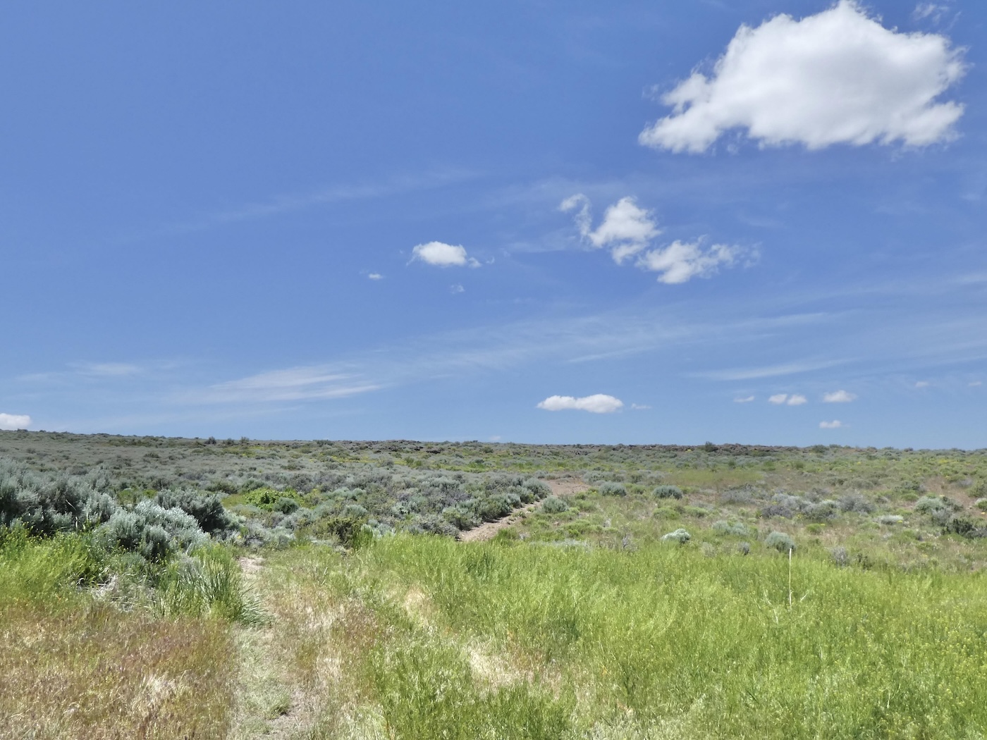
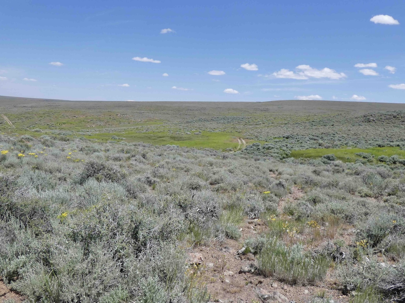
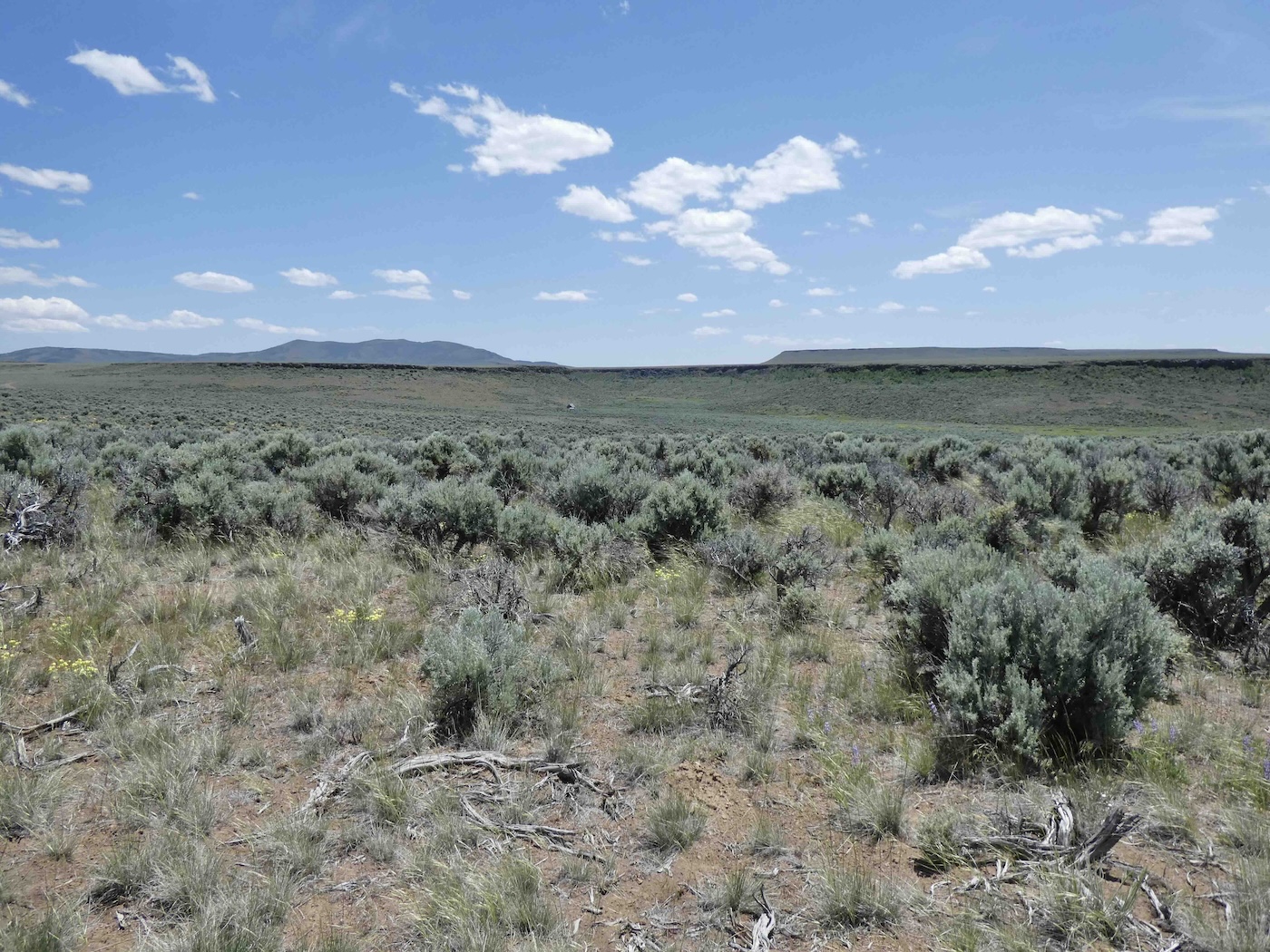
The track continued on, slowly but surely, past several other currently nameless springs
which certainly all had identities back in the days of the Mighty IXL…not now though the high
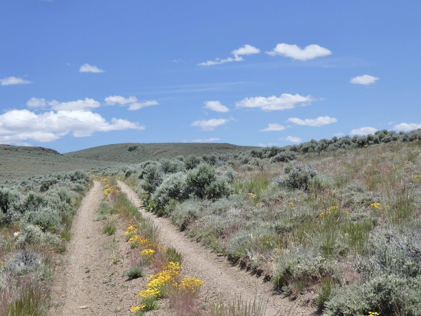
country’s altitude was clearly more verdant [flowers too] than down along
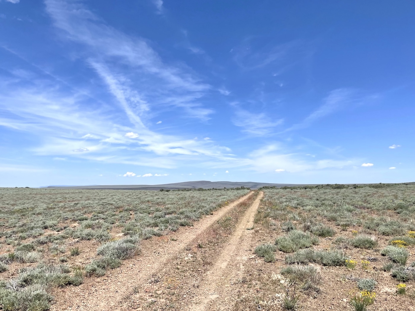
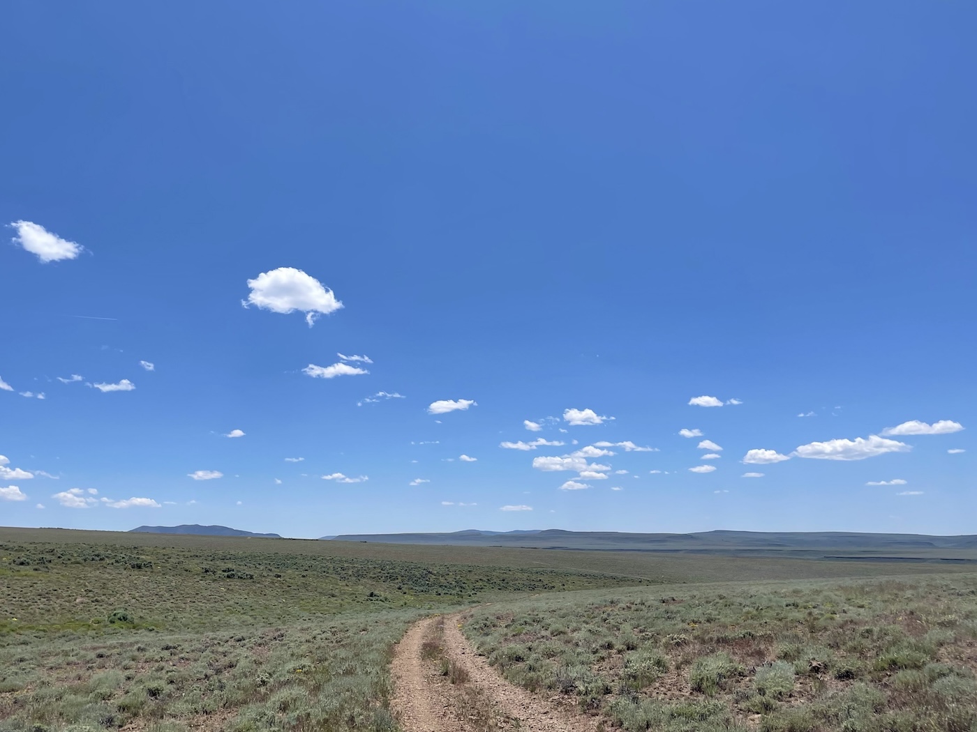
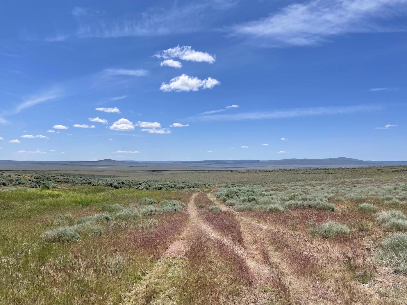
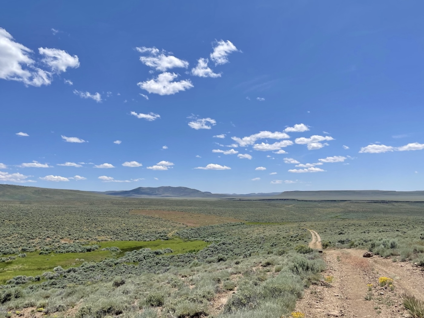
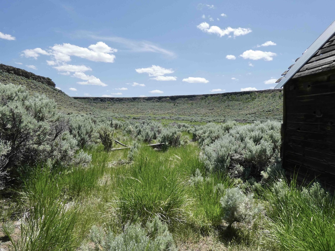
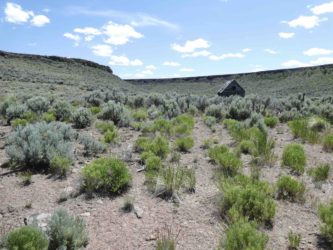
the Smoke Creek from whence we’d come. Finally after Murdoch Spring [who dat?],
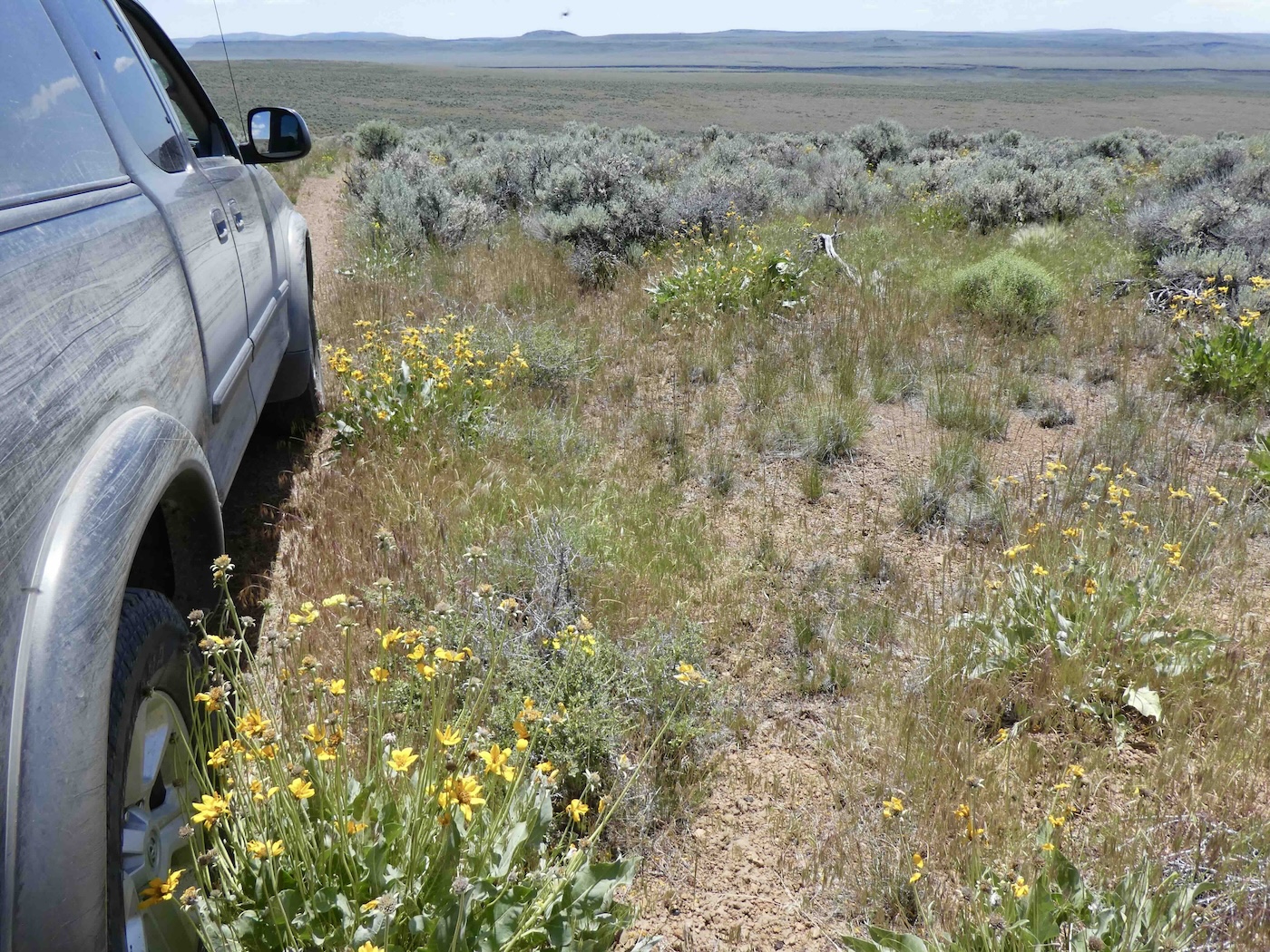
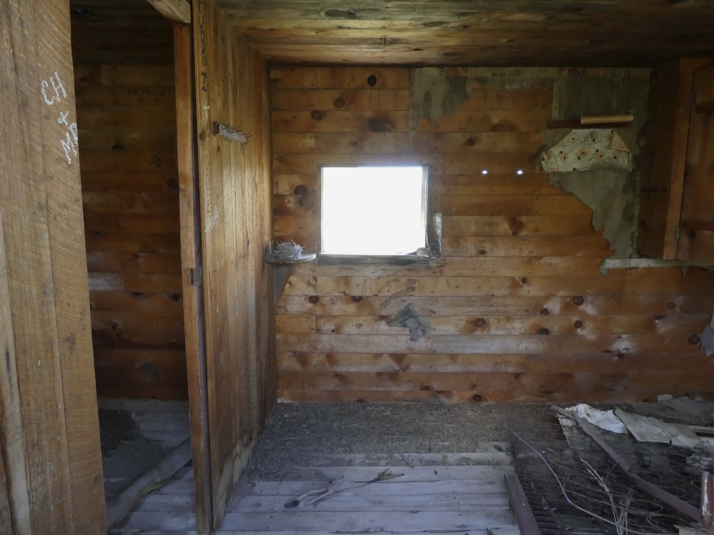
the last landmark before it dropped to Andy’s Place on Fish Creek which, being relatively lower
and closer to 8A seems to be a popular tourist destination although overall the remains remain
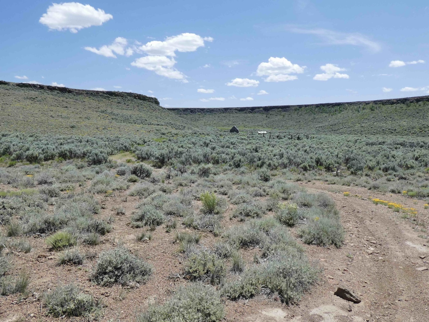
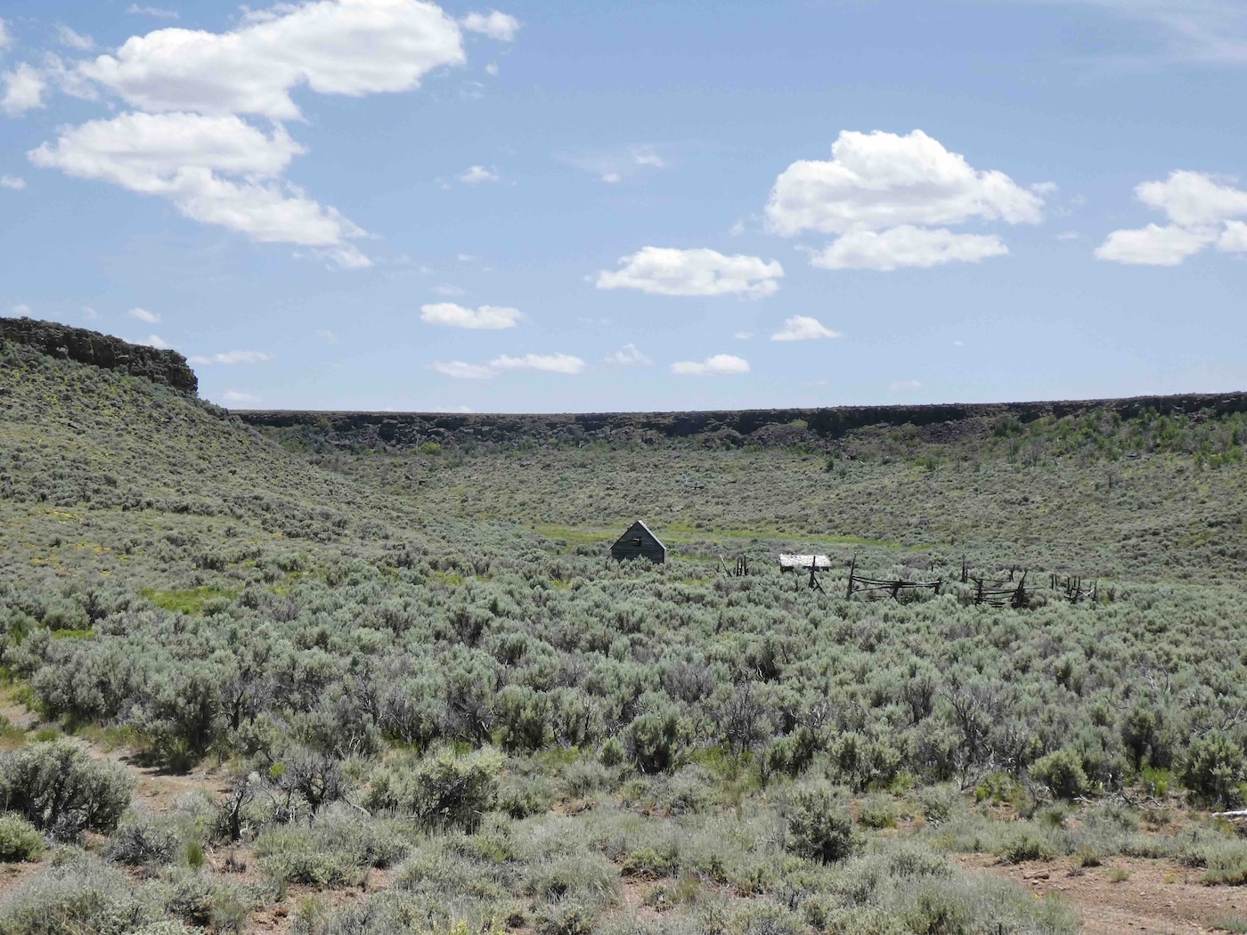
relatively undisturbed, I came down off the mountain. Very little seems to be known about Andy
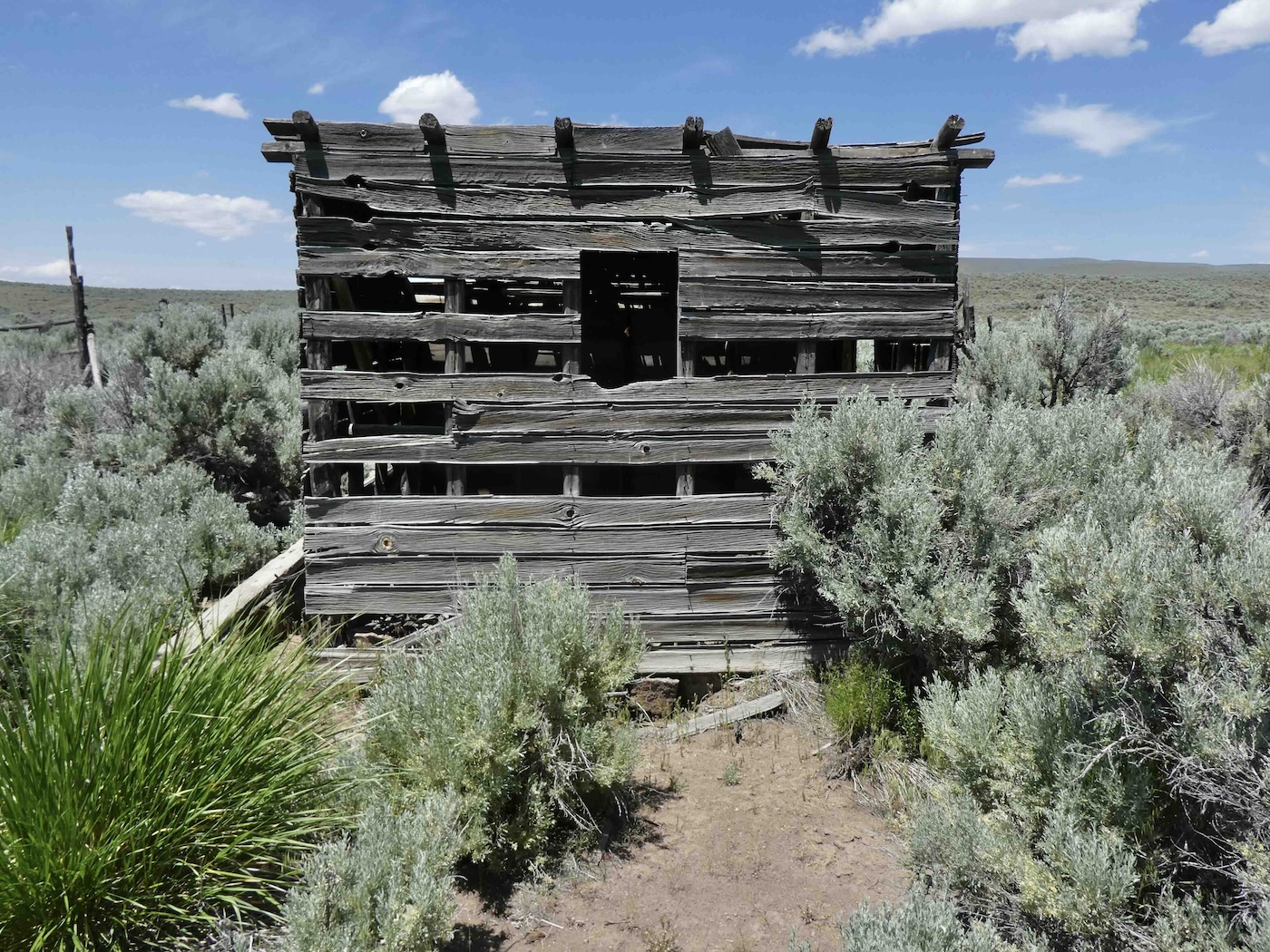
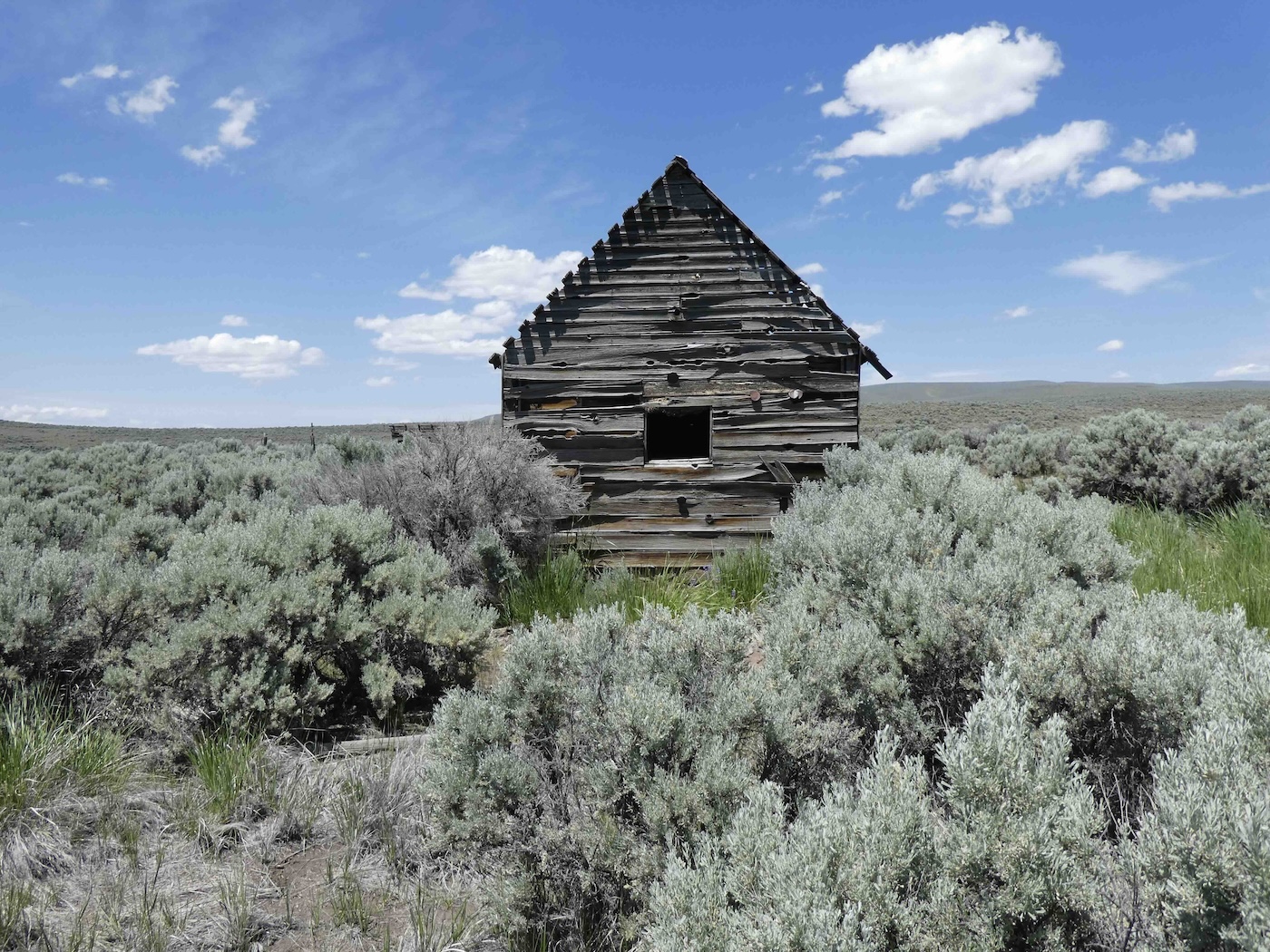
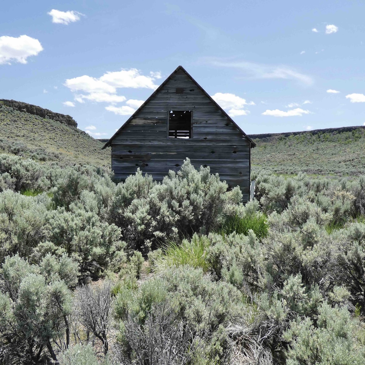
and what went on down there but whatever it was it’s all weathering away in the winds
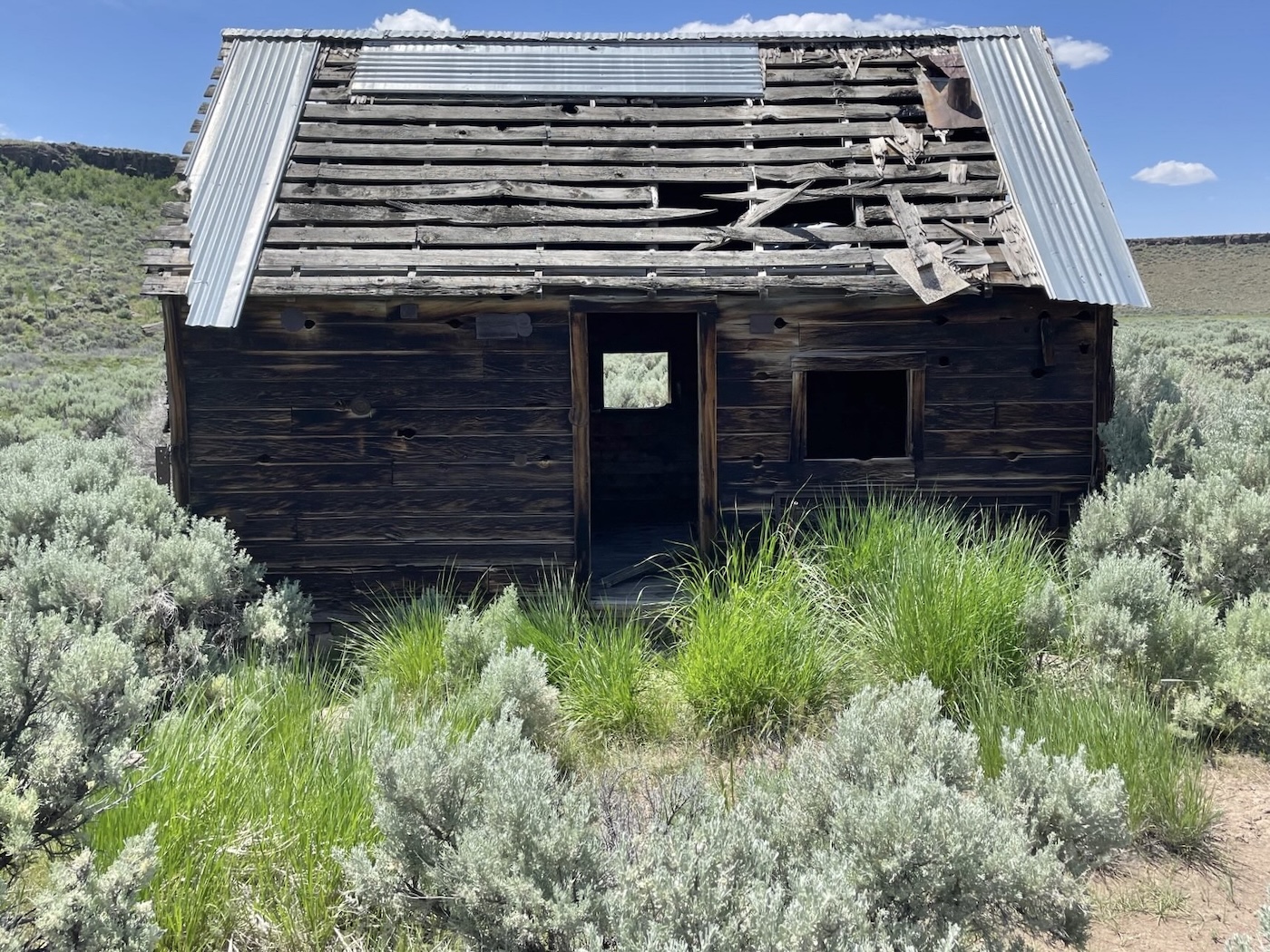
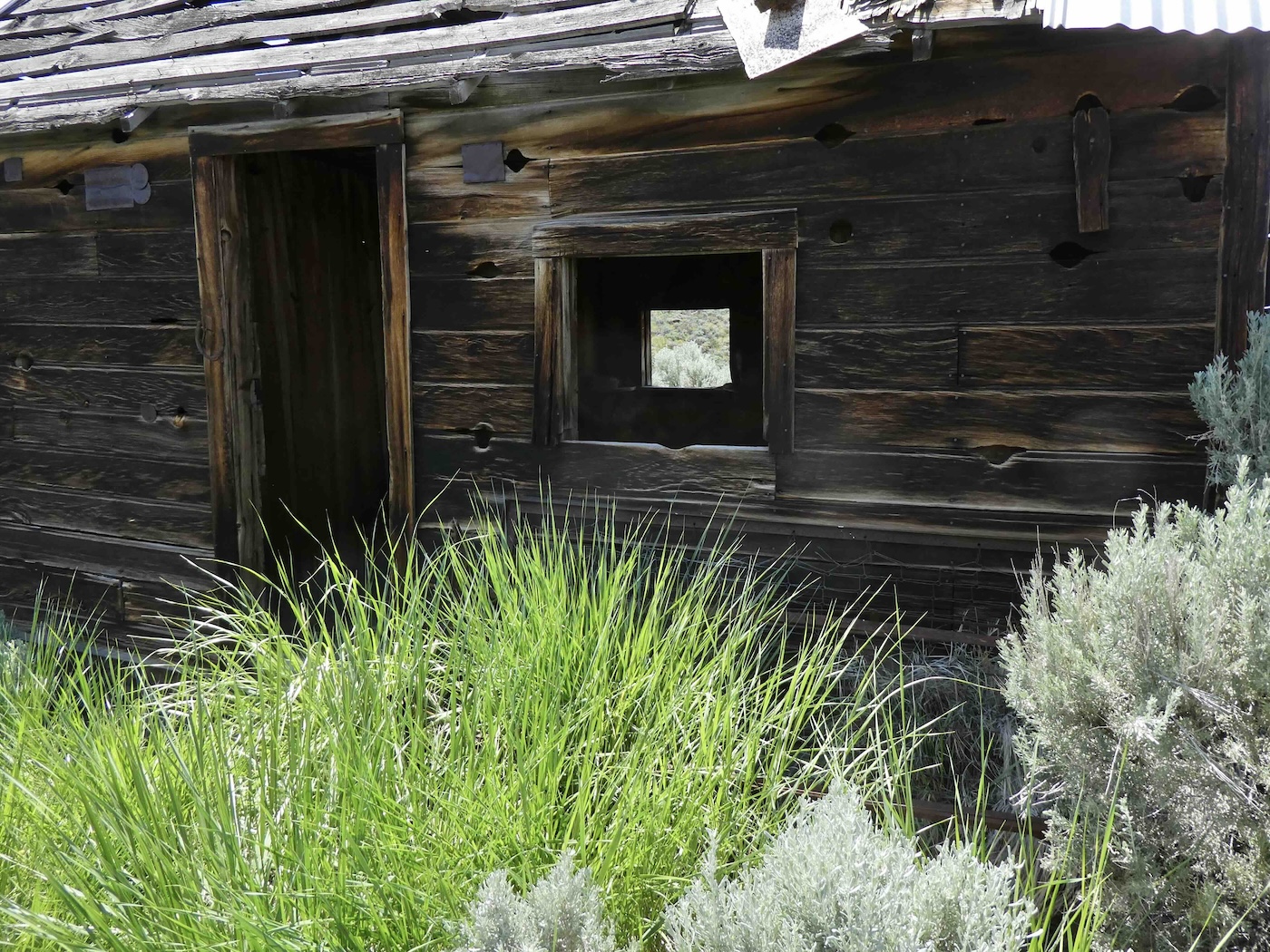
of the sagebrush ocean, now providing a happy home for woodrats…and others.
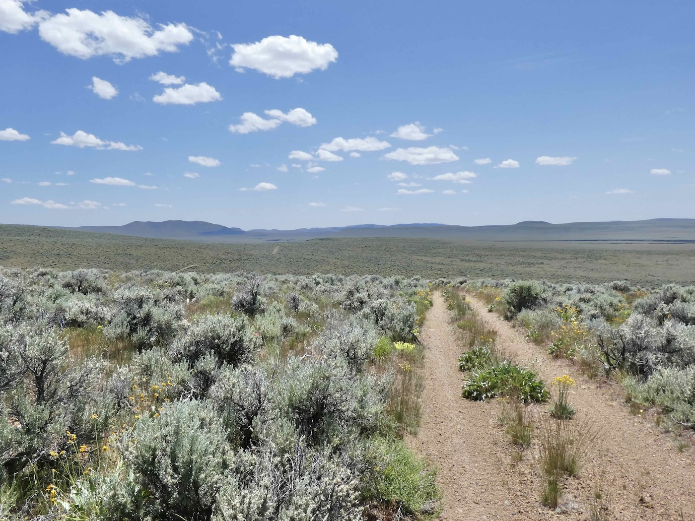
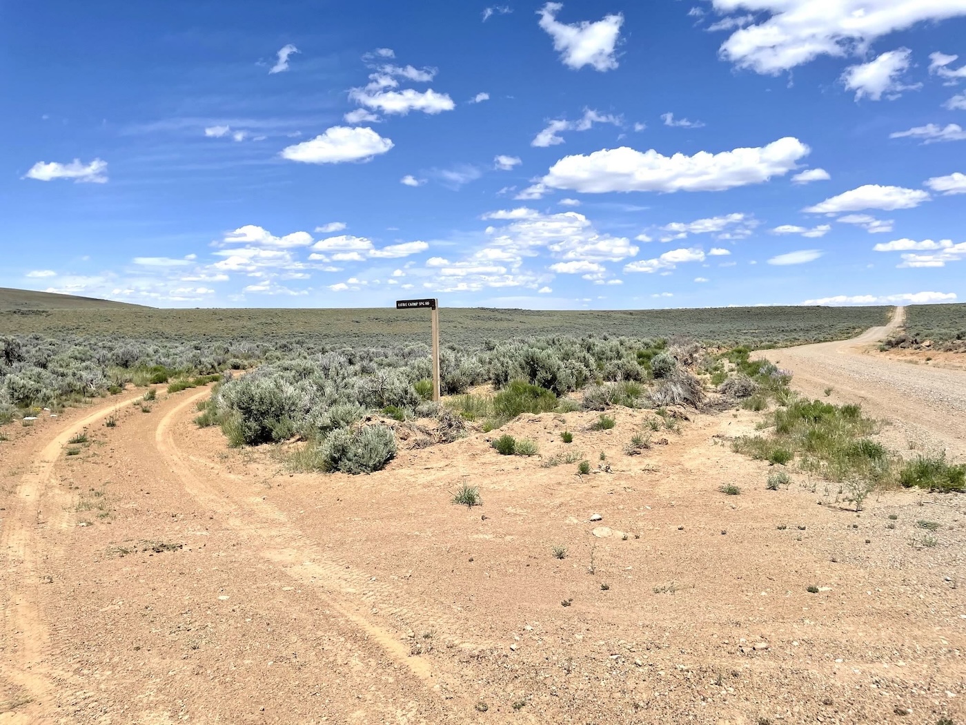
Finally, at 8A, signage again
Blowout Mountain…[I think] across the way
.jpg)
and, although well into the afternoon, more to come.
I can’t tell if you are eventually headed back to Benicia or to Colorado?. Anyway it is a fascinating trip thru barely known lands. The ancient ruin of a house structure would have a fascinating history to tell. I can picture bad ombrés hiding out from sheriff’s posses and guns shot through window openings.
Always Colorado in the summer; we’ll leave here the last of the month and be in the mountains until late October [have already booked our massage therapies in Gardner!].
I can’t tell if you are eventually headed back to Benicia or to Colorado?. Anyway it is a fascinating trip thru barely known lands. The ancient ruin of a house structure would have a fascinating history to tell. I can picture bad ombrés hiding out from sheriff’s posses and guns shot through window openings.
Quite a successful exploration (no dead-ends) of Catnip-to-Andy’s; not to mention pristine weather and classic “out there” uninhabited landscapes.
Was this your first visit to Andy’s and did the spring have drinkable water?
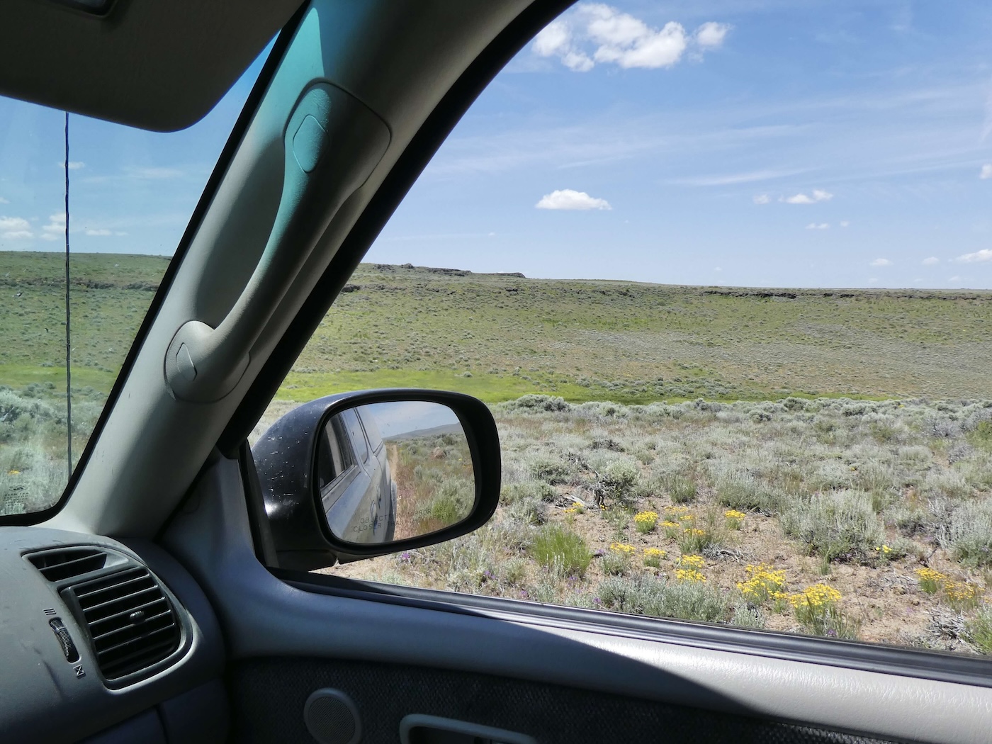
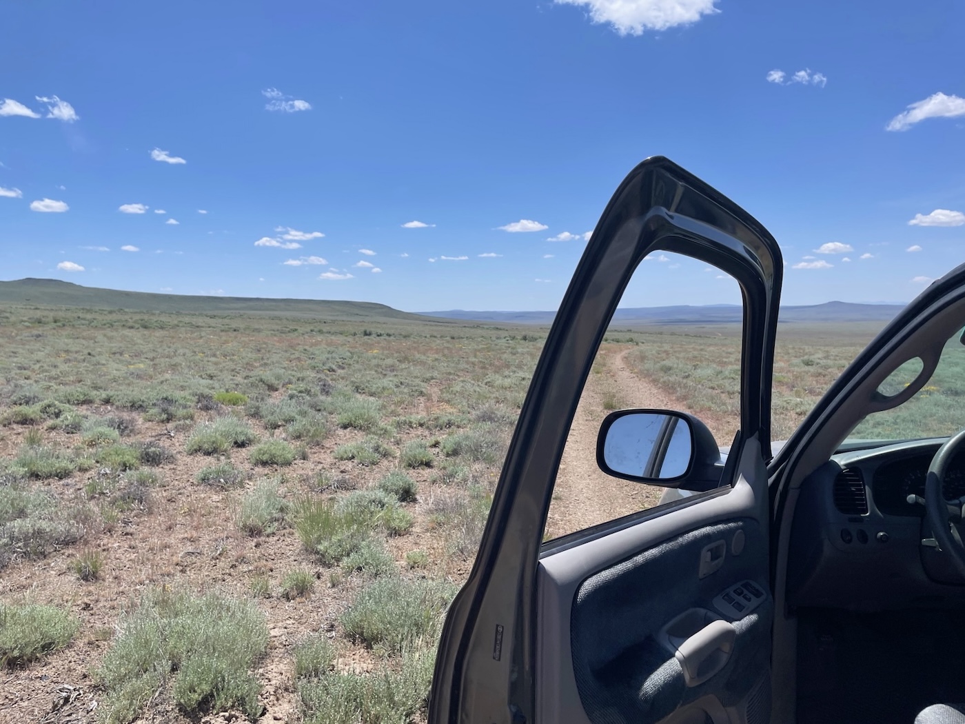
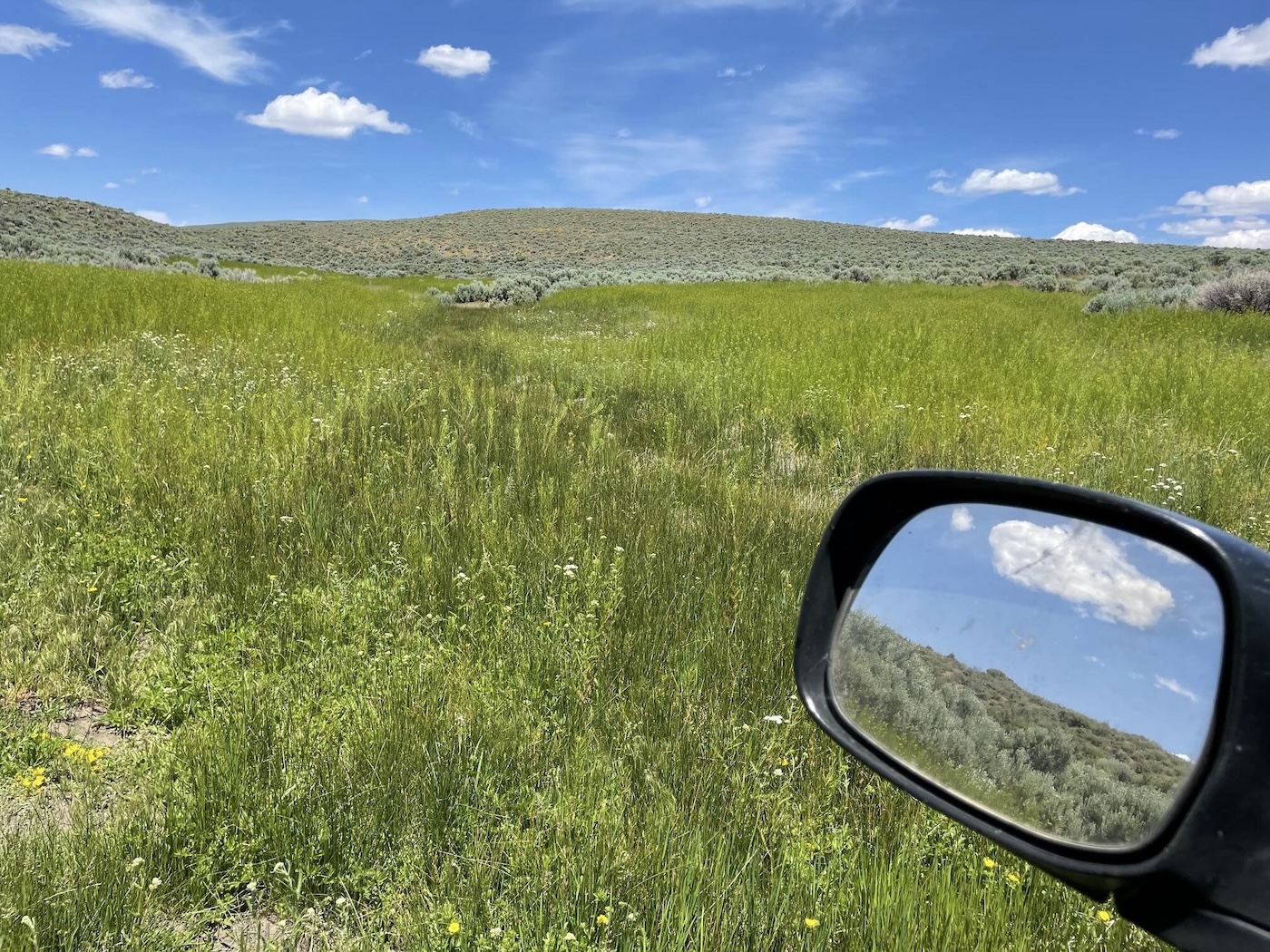
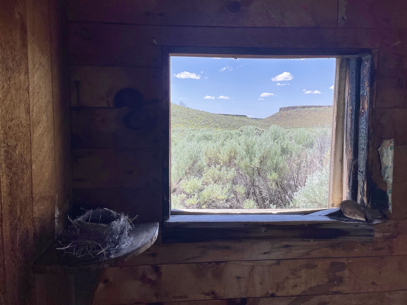
I particularly like your window-within-window photo framing. Being in that seemingly infinite and untouched (by man) country is an antidote to the oppressive news plaguing the rest of the planet. Thanks for the taste.
First time for that little road, yes…some places that would have made for great campsites back in the day, too. Didn’t sample the waters but in the absence of livestock I imagine it would be ok…
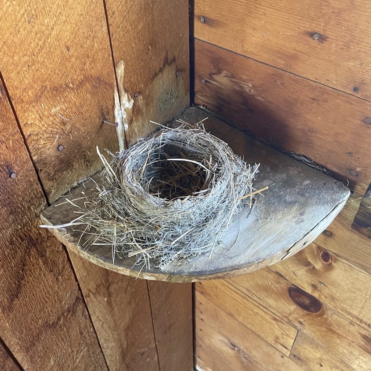
Oh, the birds nest with a view. Exquisite. You have some courage to head out so far from civilization. Wish I had the same….
I do think a bit about how in my current state it would be difficult [if not impossible, depending] to walk out if something went awry with my nineteen year old Toyota…jeez, even changing a tire has become rather daunting. But somehow it’s still worth the trouble…
Really enjoying these rambles on old roads with vast expanses of sky and landscape. This is the Nevada I see from the air; it is so much more beautiful in these photos.
Some of those embedded google map links might look a lot like your aerial views…