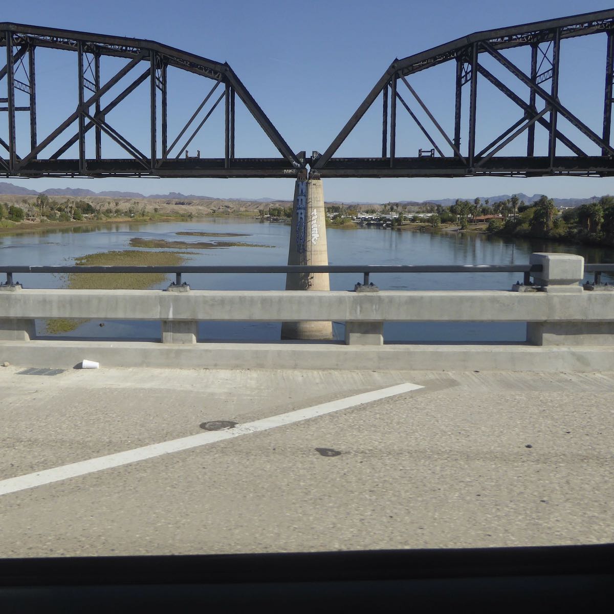
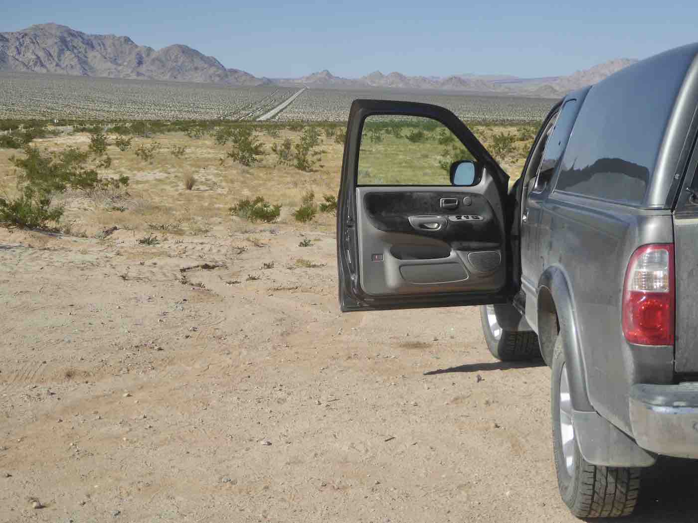
Over the river from Parker things got considerably emptier as 62’s two lanes
snaked through dried mud hills, intermittent motorhomes distantly distributed, between
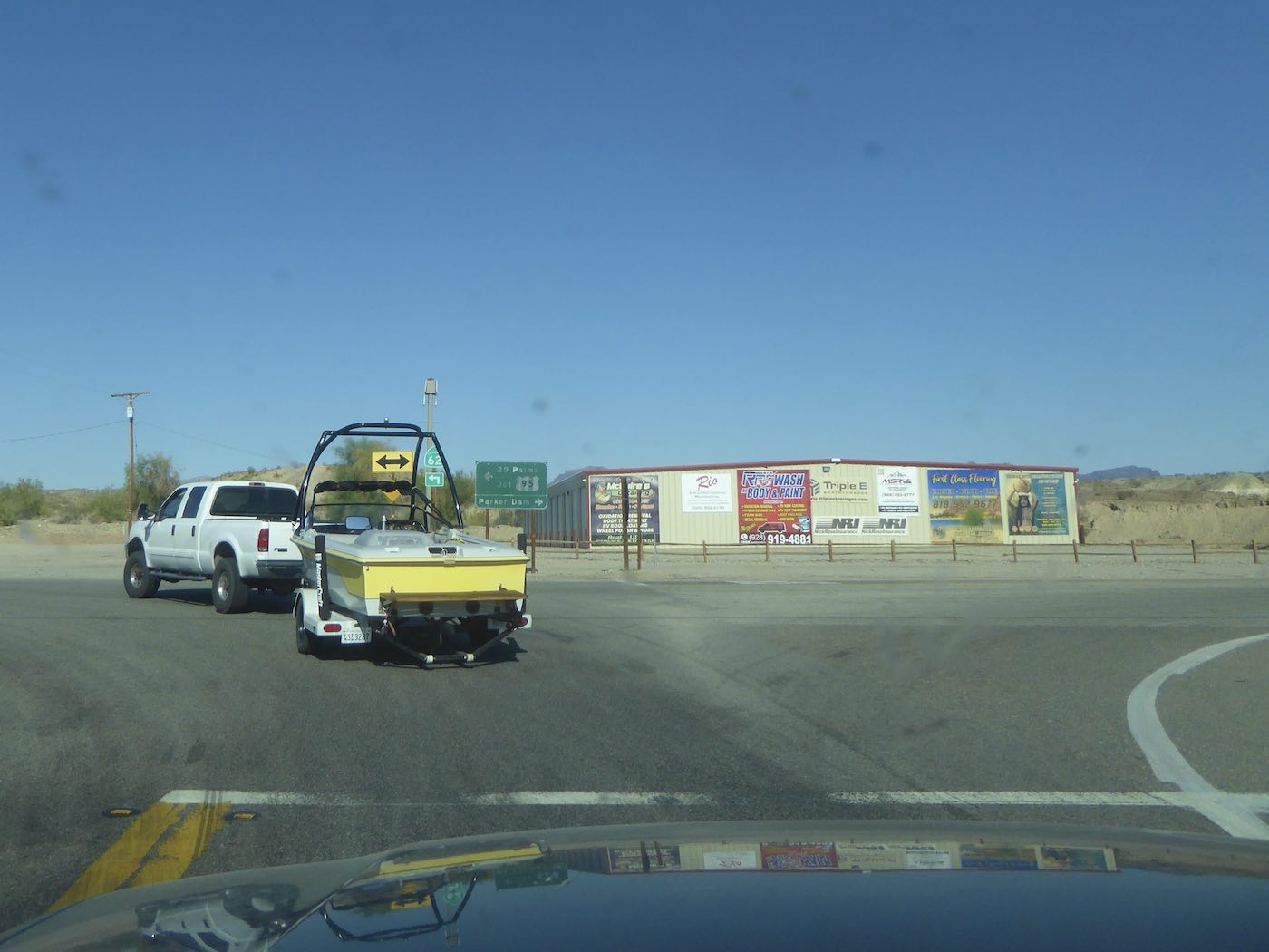
there and the Port of Entry after which
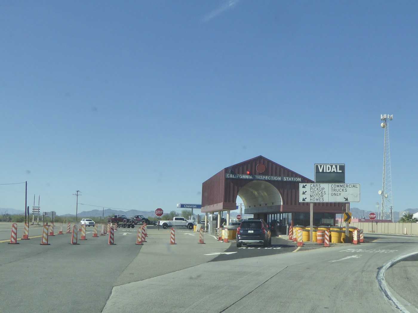
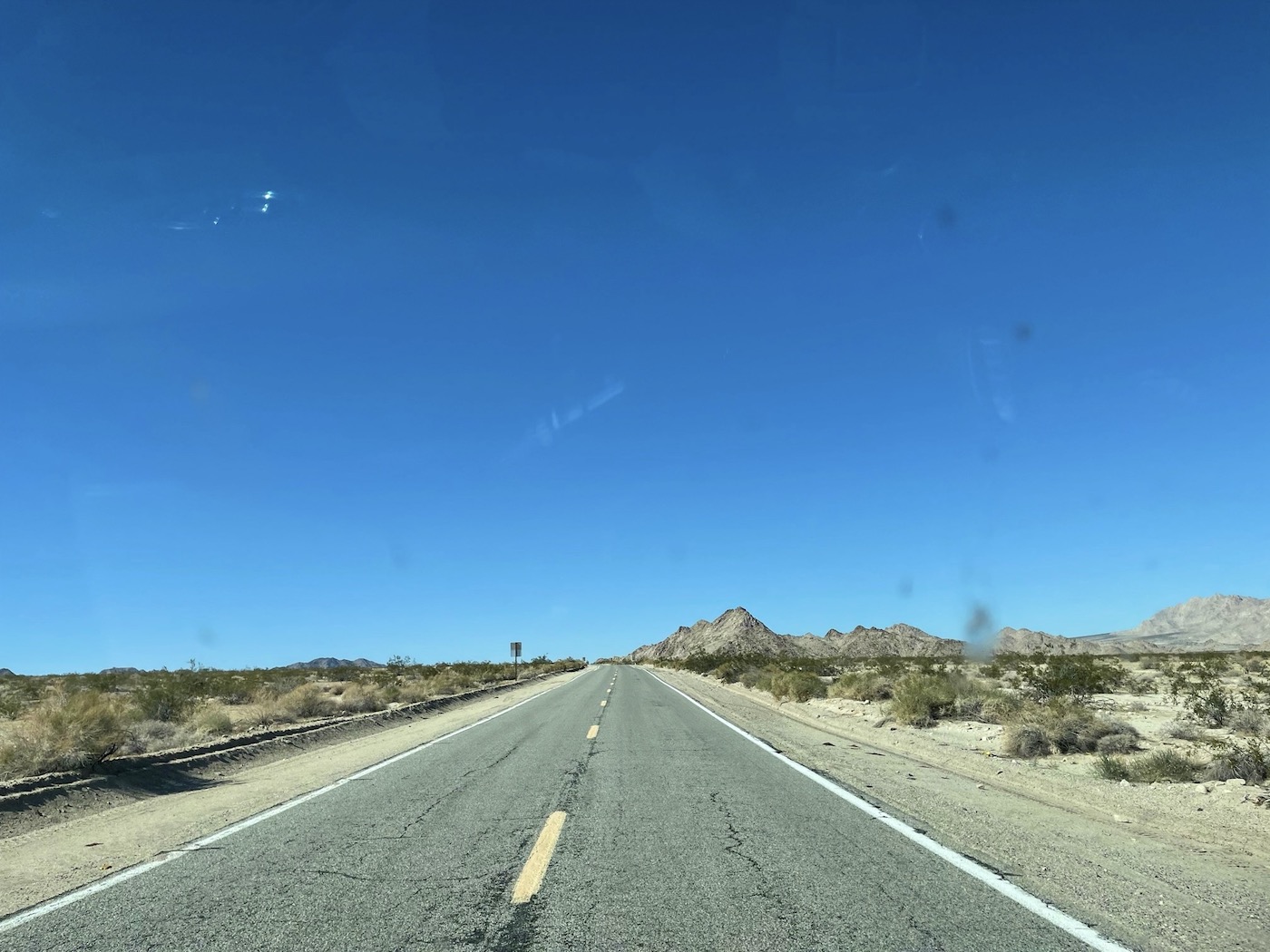
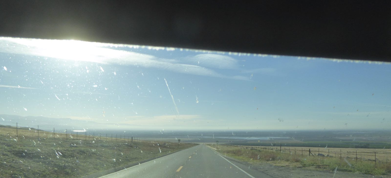
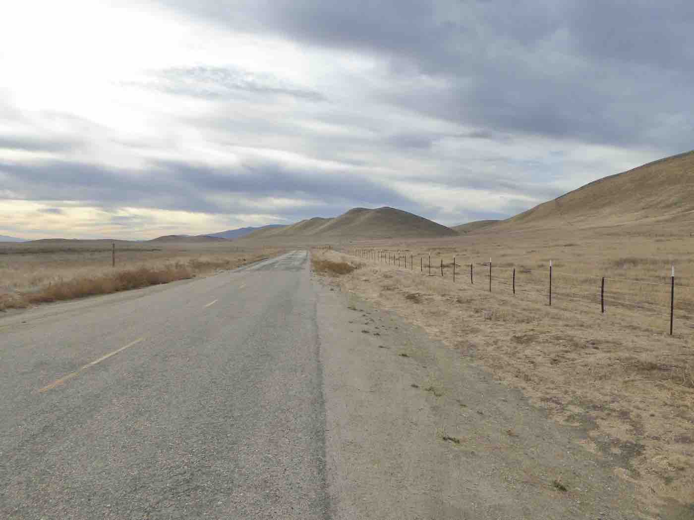
the next 92 miles became ever more minimal* [no motorhomes, nothing]. After intersecting
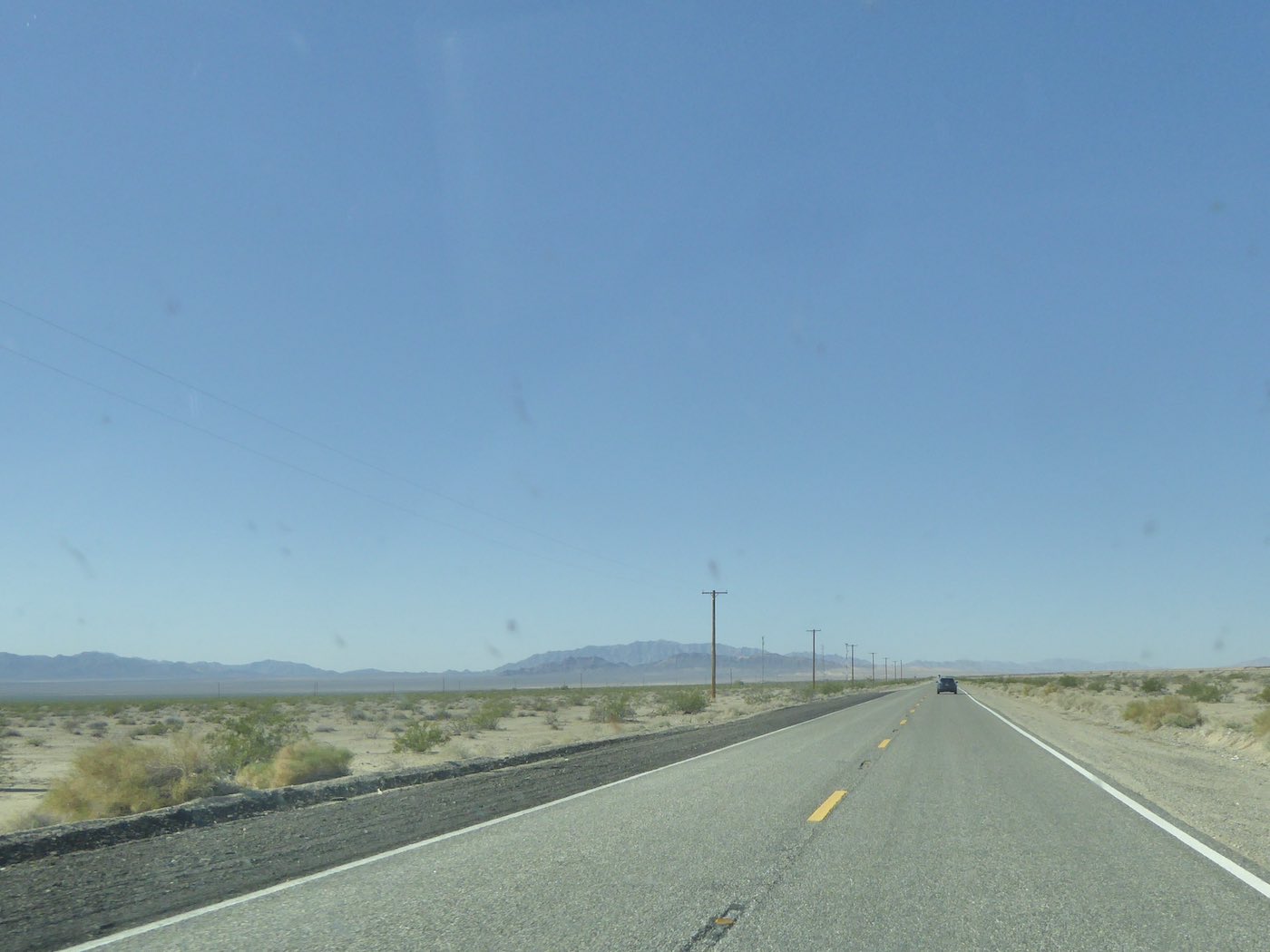
117 62 became the “Twentynine Palms Highway” and somewhere beyond that
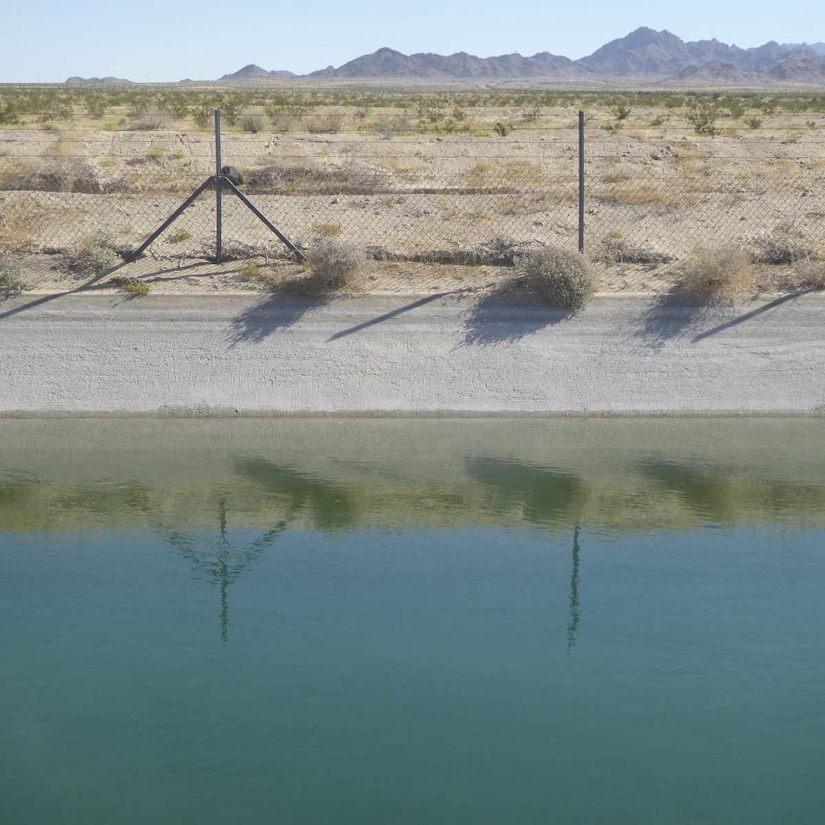
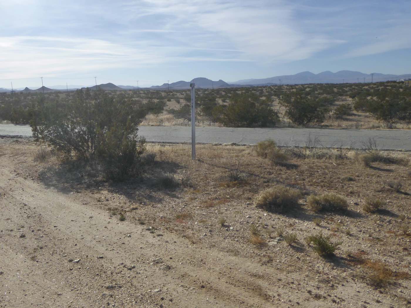
I stopped to stretch beside a canal, then
went
west

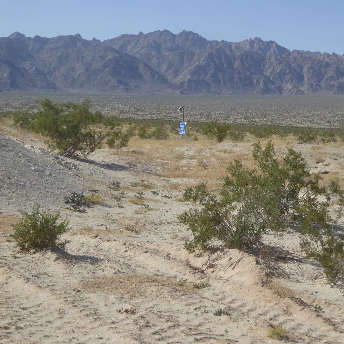
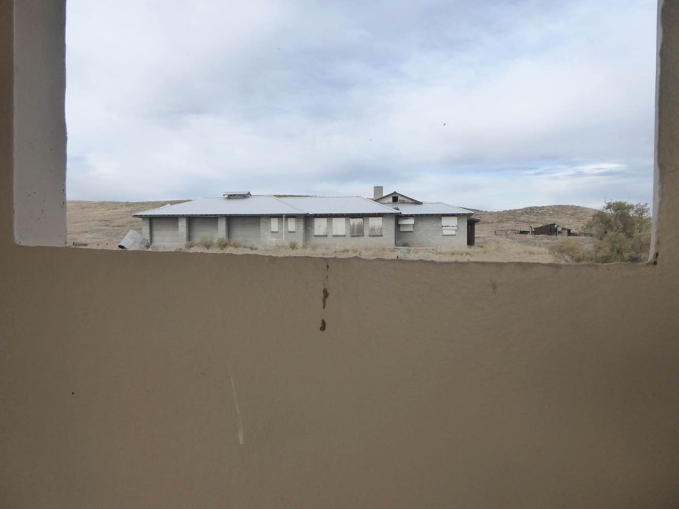
until, dropping in to the Morongo Basin around Wonder Valley [Lee Saloutos photos],
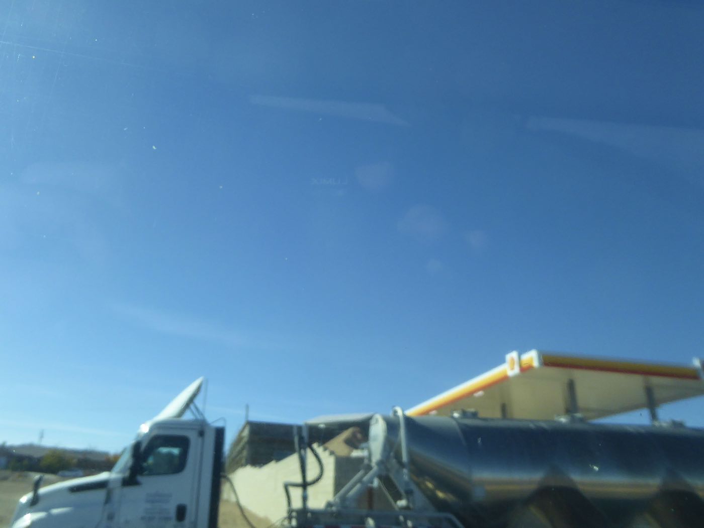
the crystal-gazing environs of 29 [saw no] Palms and Joshua Tree began to manifest themselves in earnest. I continued on, with a gas stop and a text from Bryan saying that in Scottsdale they
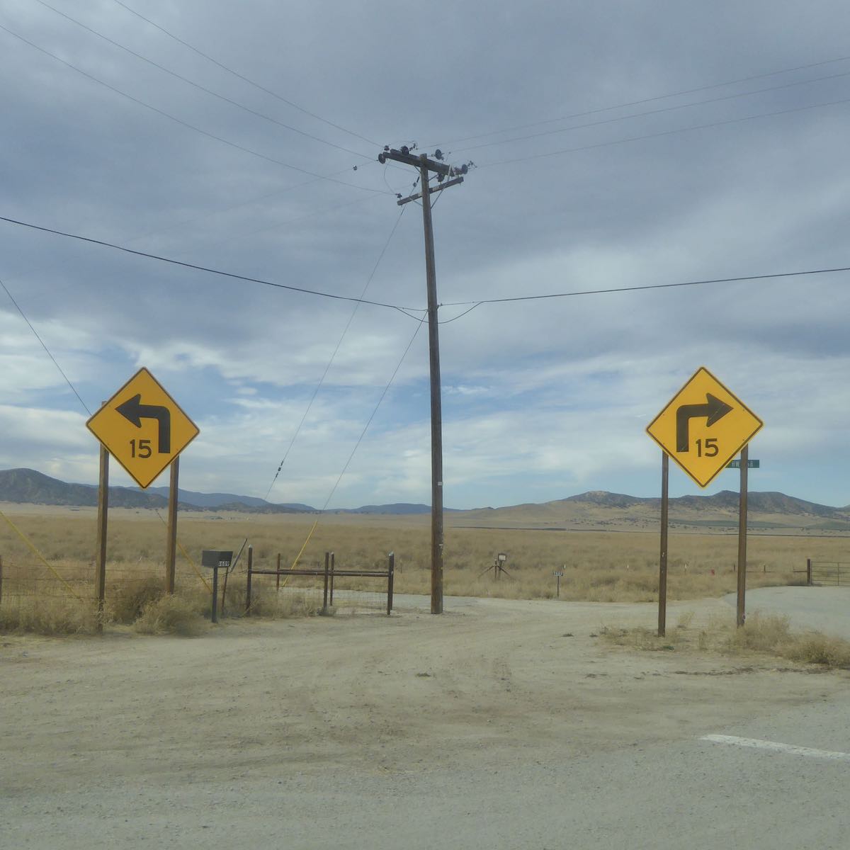
were just heading out for brunch, while here in the west the architecture ranged from travel trailers, singlewides, shacks and concrete block enclosures in various states of undress to designer homes, some of which looked to be inspired by one or another of Ed Ruscha’s “Twentysix Gasoline Stations” [the one with a lap pool right up against the highway very like his “Phillips 66, Flagstaff, Arizona” although not quite as imaginative] all jammed onto little half acre plots which gradually spread out to be strewn across the alluvium…local businesses included but were not limited to the Glass Outhouse Gallery, High Desert Thai Massage, Rhythm of Life,
Desert Insulation, Untamed Yoga, Etter Auto, etc… Beyond Flamingo Heights 247 turned into Old Woman Springs Road through Lucerne Valley, made a right in Lucerne proper to become the Barstow Road where finally, on an unnamed pass after the St. Joseph Monastery, I pulled off
for remnants from the ice chest, buzzed but looking a little early for an overnight in Barstow so
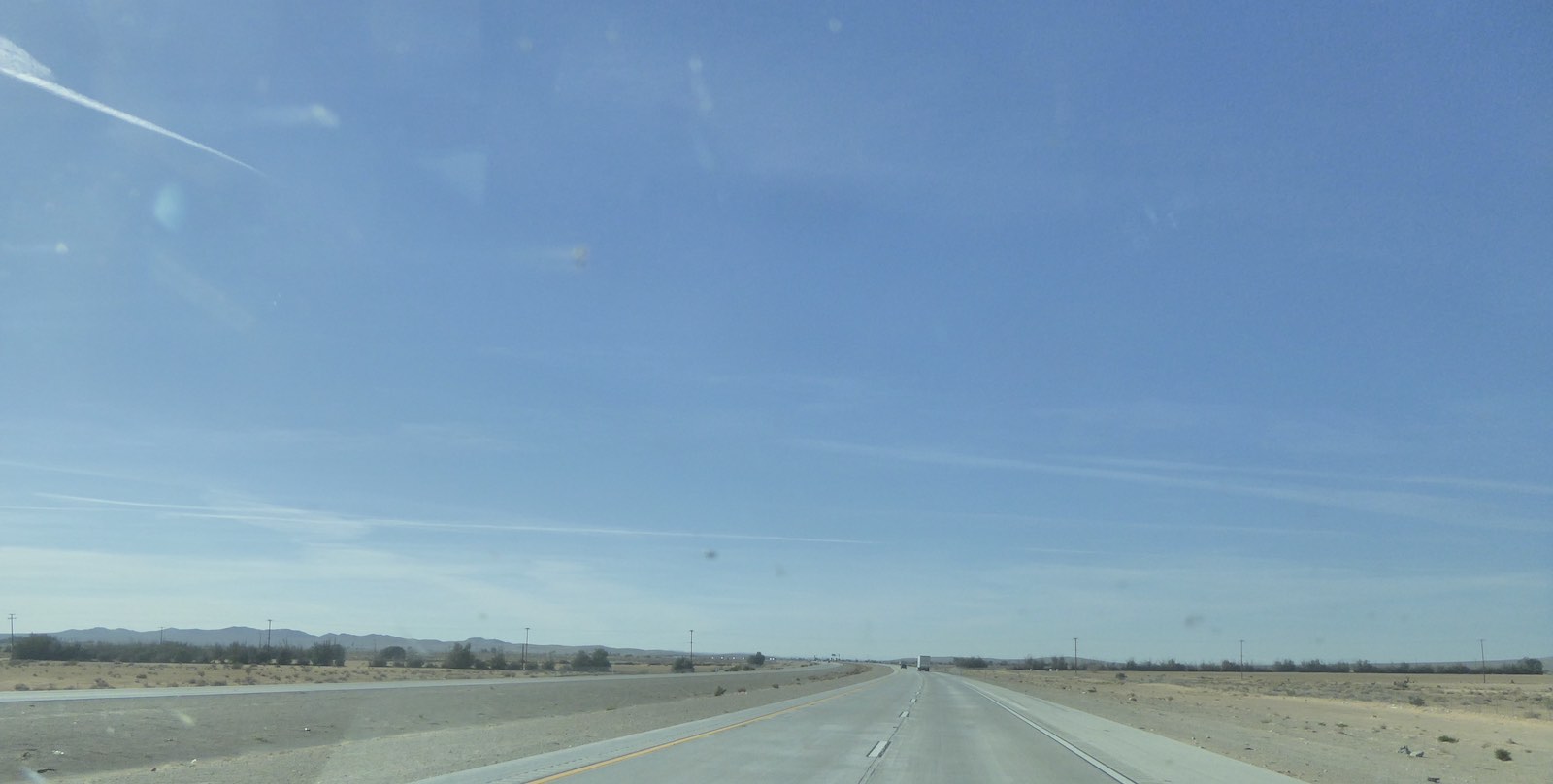
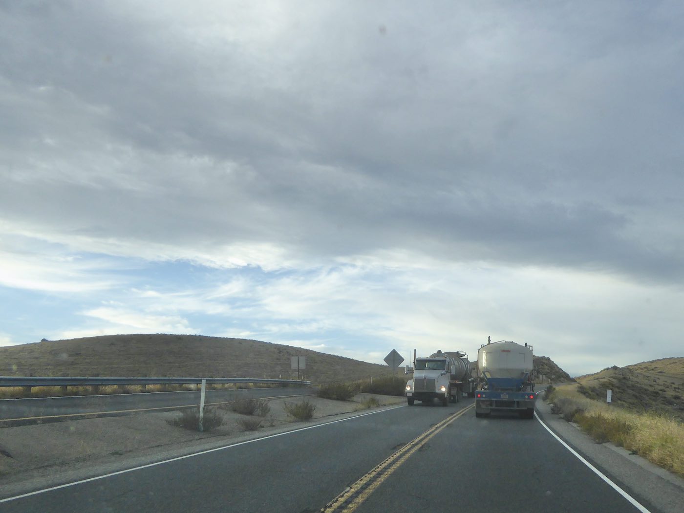
once through there continued on the formerly two-laned 58 across the desert, circled Mojave,
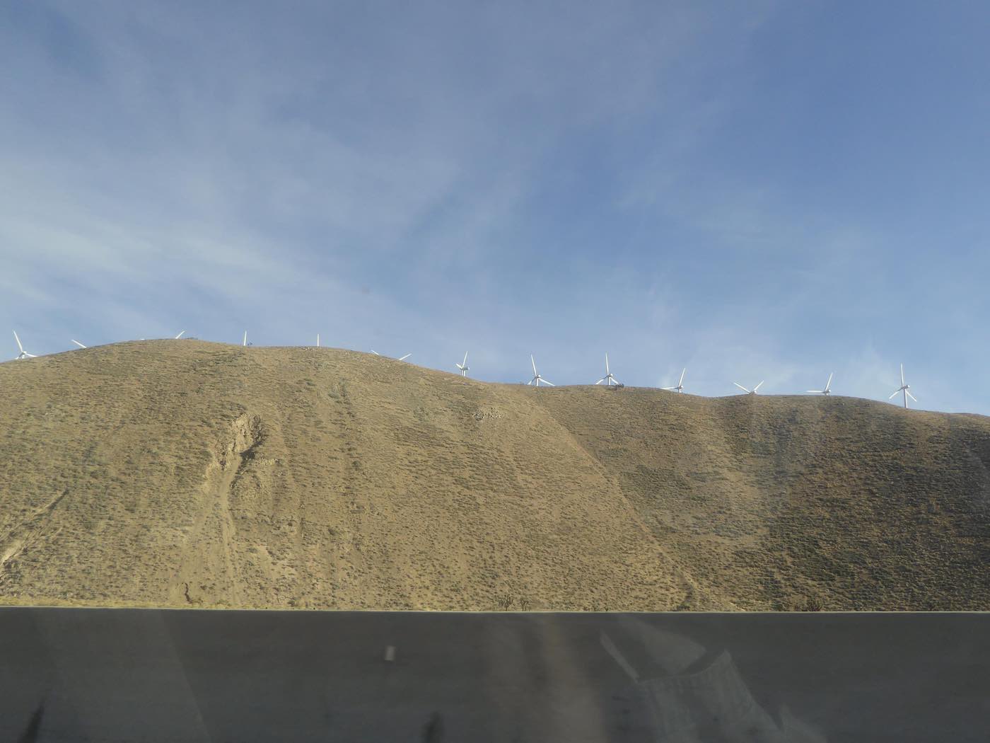
climbed over Tehachapi Pass down to 223, Arvin, then
zigzagged through Big Ag at the lower end of the San Joaquin to eventually intersect the
Maricopa Highway and wash up in Maricopa at Motel 8 around 4:30, nine+ hours from the Scottsdale Rodeway and just in time to make it to Tina’s, the only restaurant in town, before
her six o’clock Sunday closing time, good as Gema’s, but different.

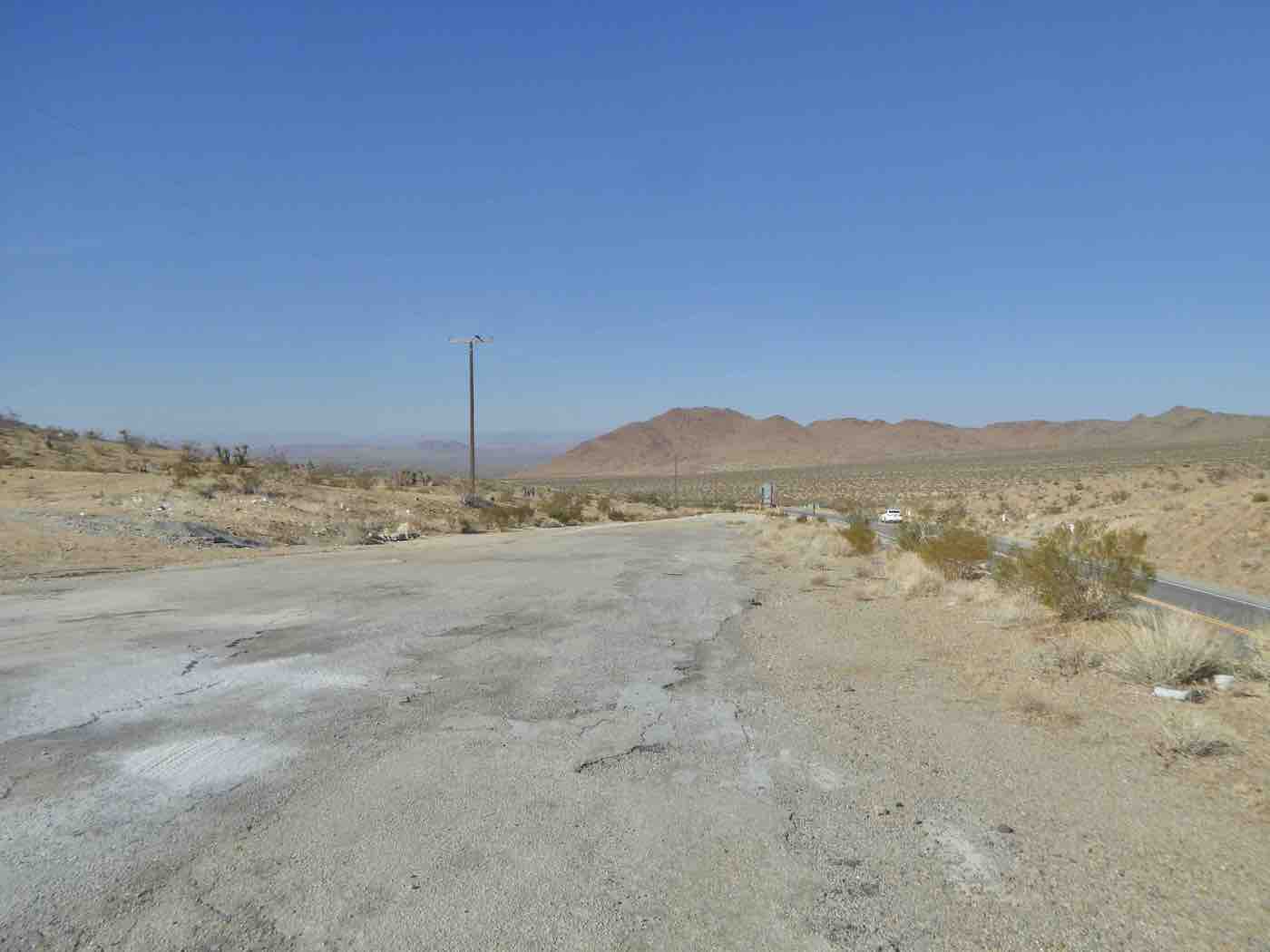
An early night in Maricopa made for an early departure, somewhat dampened in that the Maricopa Highway proved to be major thoroughfare for an endless stream of slow moving semis but fortunately I only had to go 9.5 miles uphill to Soda Lake Road, then north
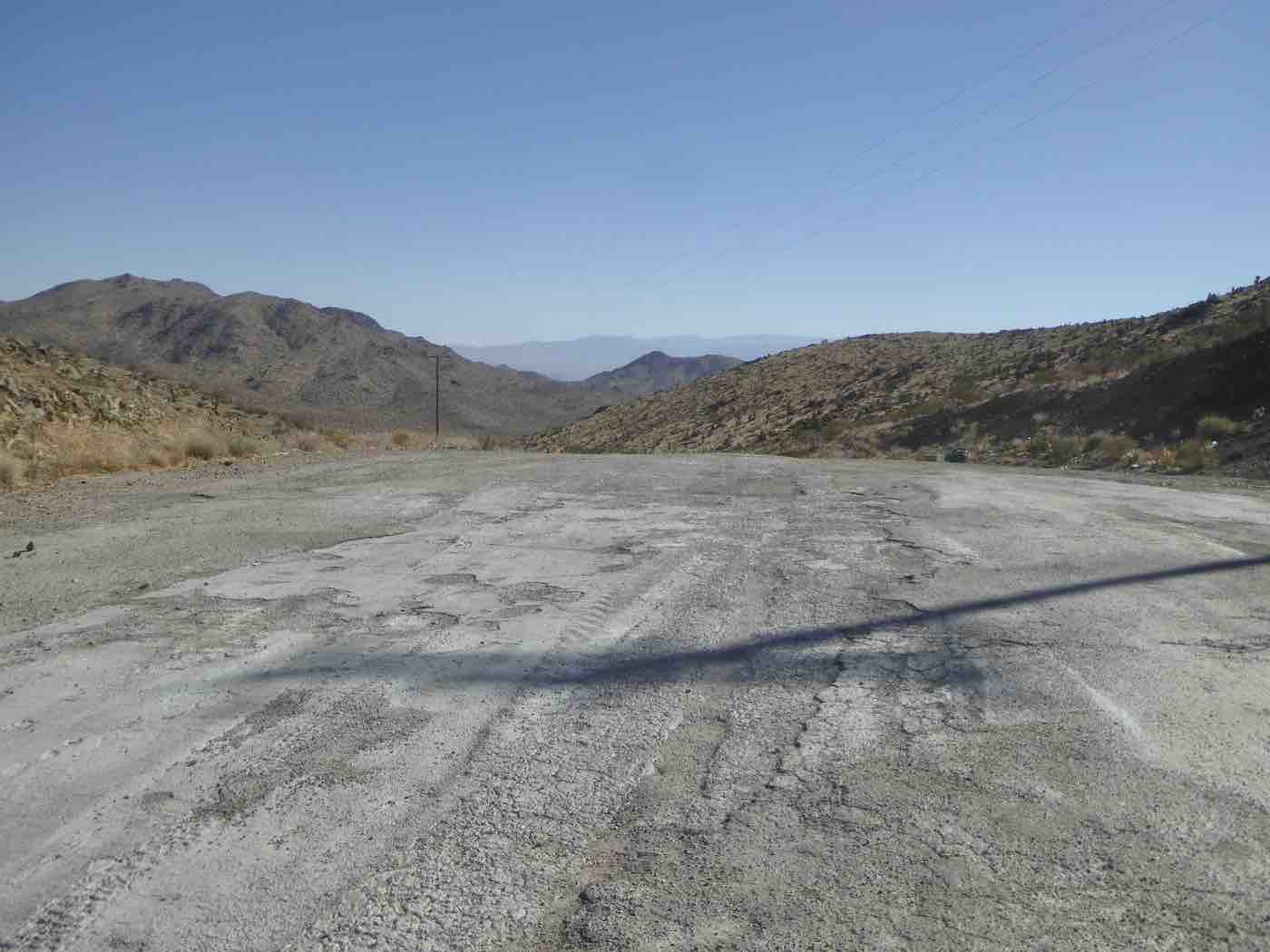
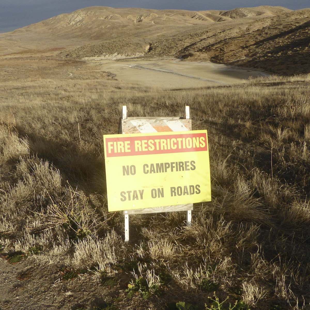
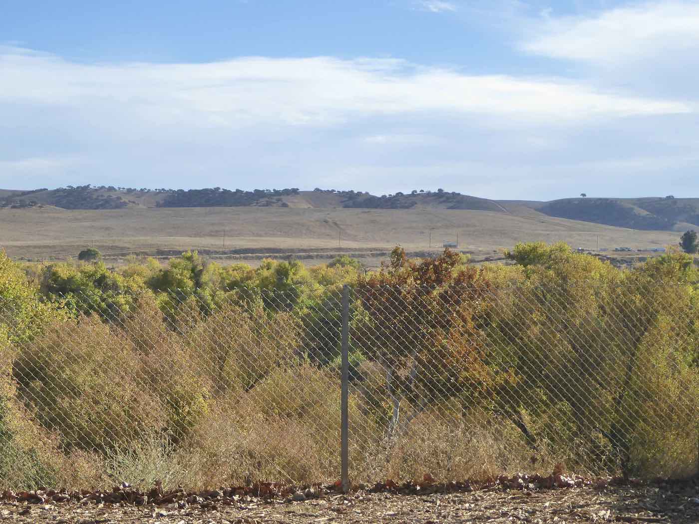
into the Carrizo Plains National Monument, singularly unpopulated on a November Monday
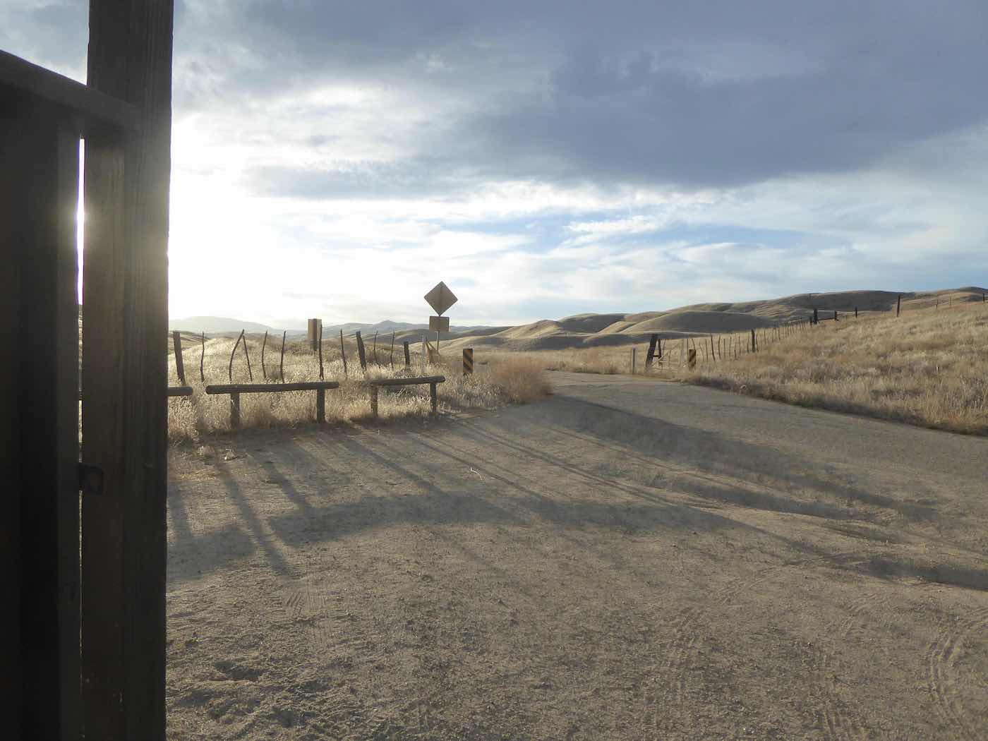
and a place about which I’d long been curious…
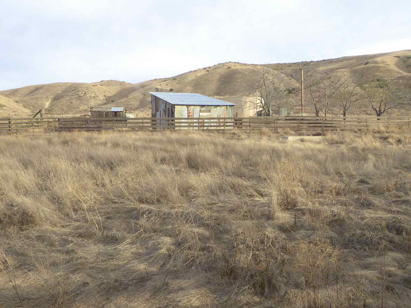
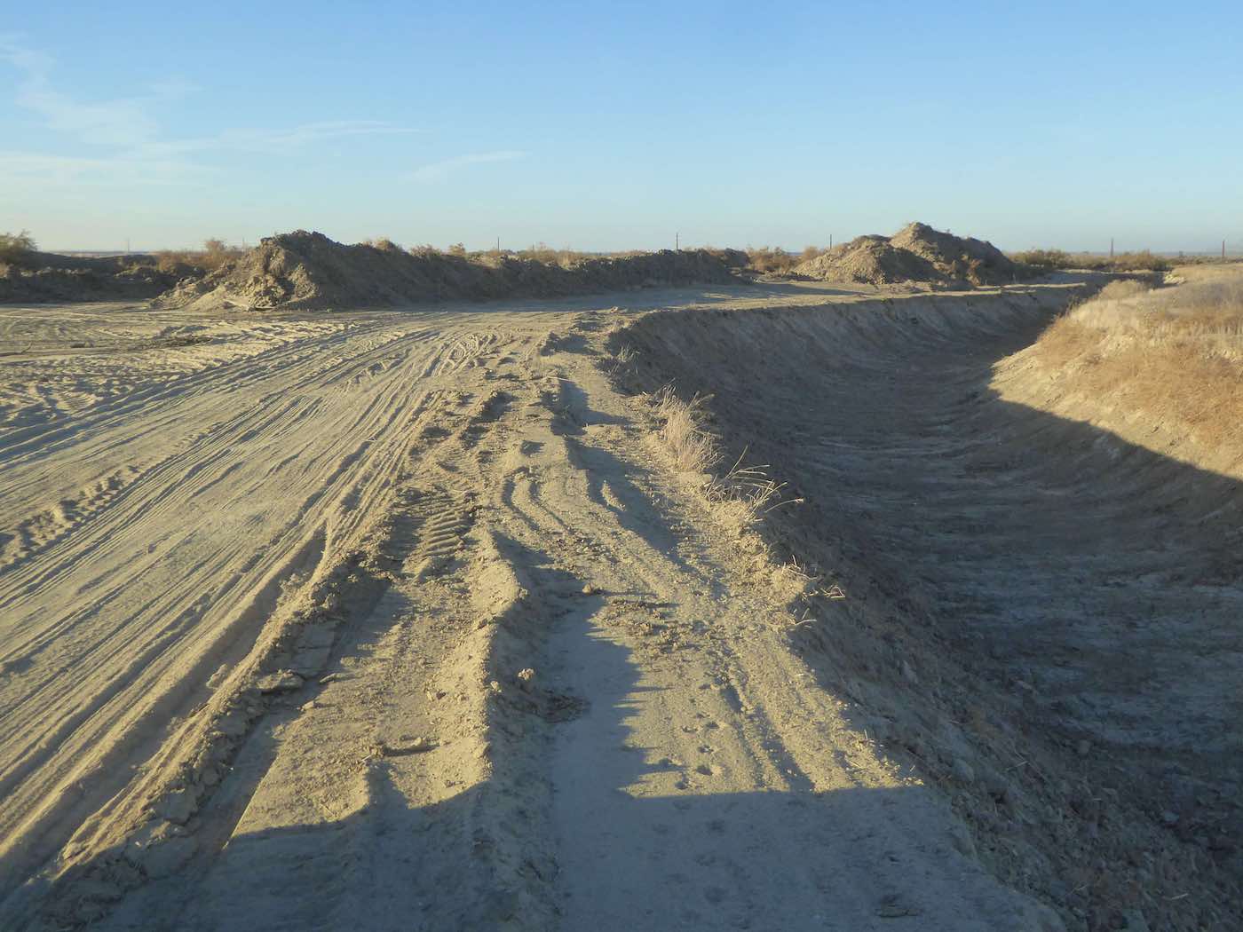
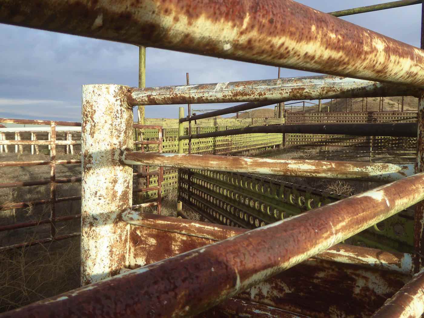
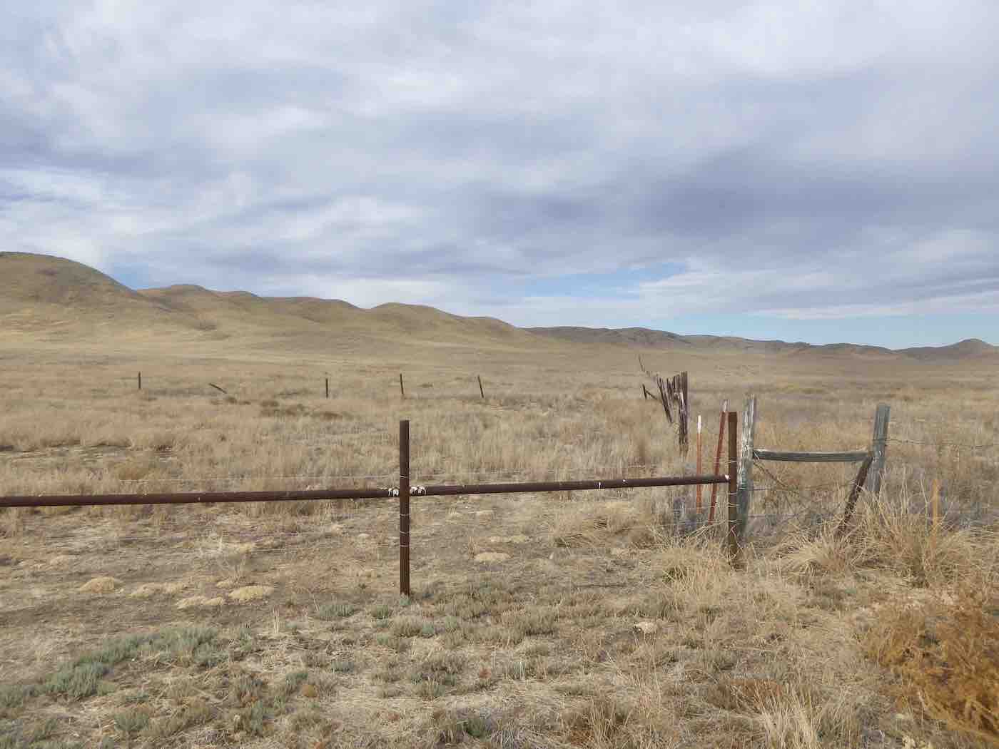
One curious thing immediately evident was the ubiquity of sheet metal and pipe used in the
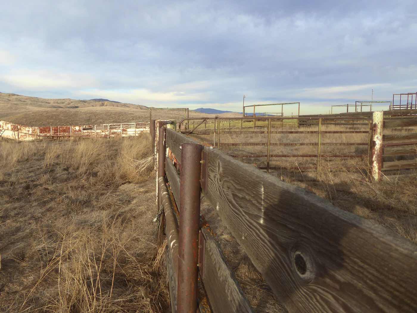
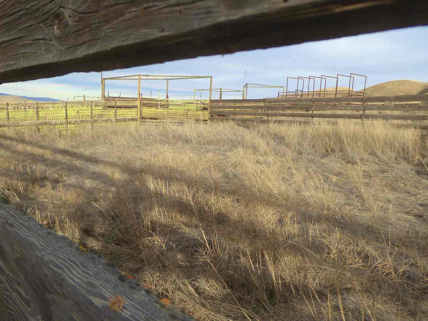
construction of the [now disused?] corrals and fencing, perhaps a function of the valley’s proximity to the considerable and historical oilfields just over the hills to the east.
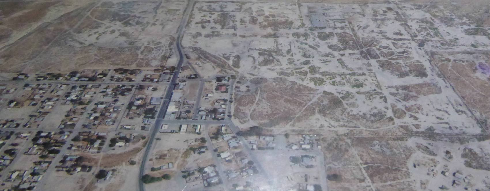
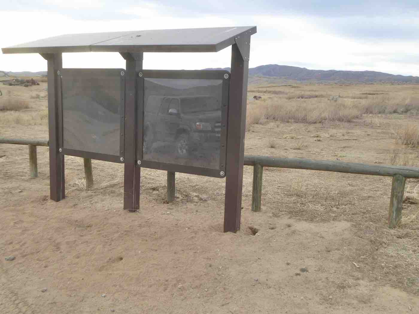
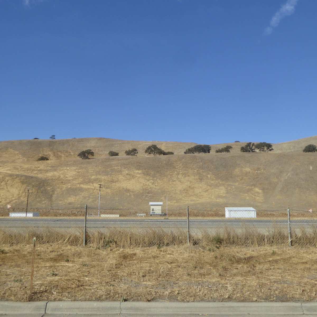
Further in the “Traver Ranch”, home now only to bats, about which aside from said bats I
couldn’t find much out [note information kiosk, but the internet was really not much better. Well, the Santa Margarita Historical Society has some good stuff, though it mostly deals with the northern end of the plains and doesn’t mention any Travers at all], left me wondering what ultimately persuaded all those dryland farmers and ranchers to clear out…but onwards;
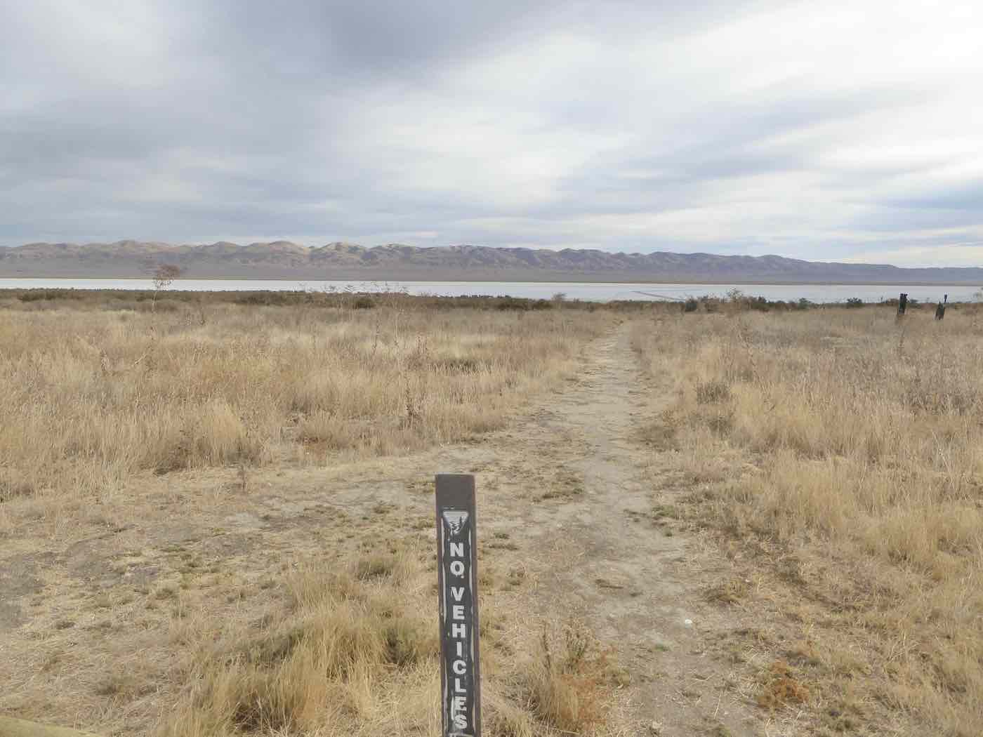
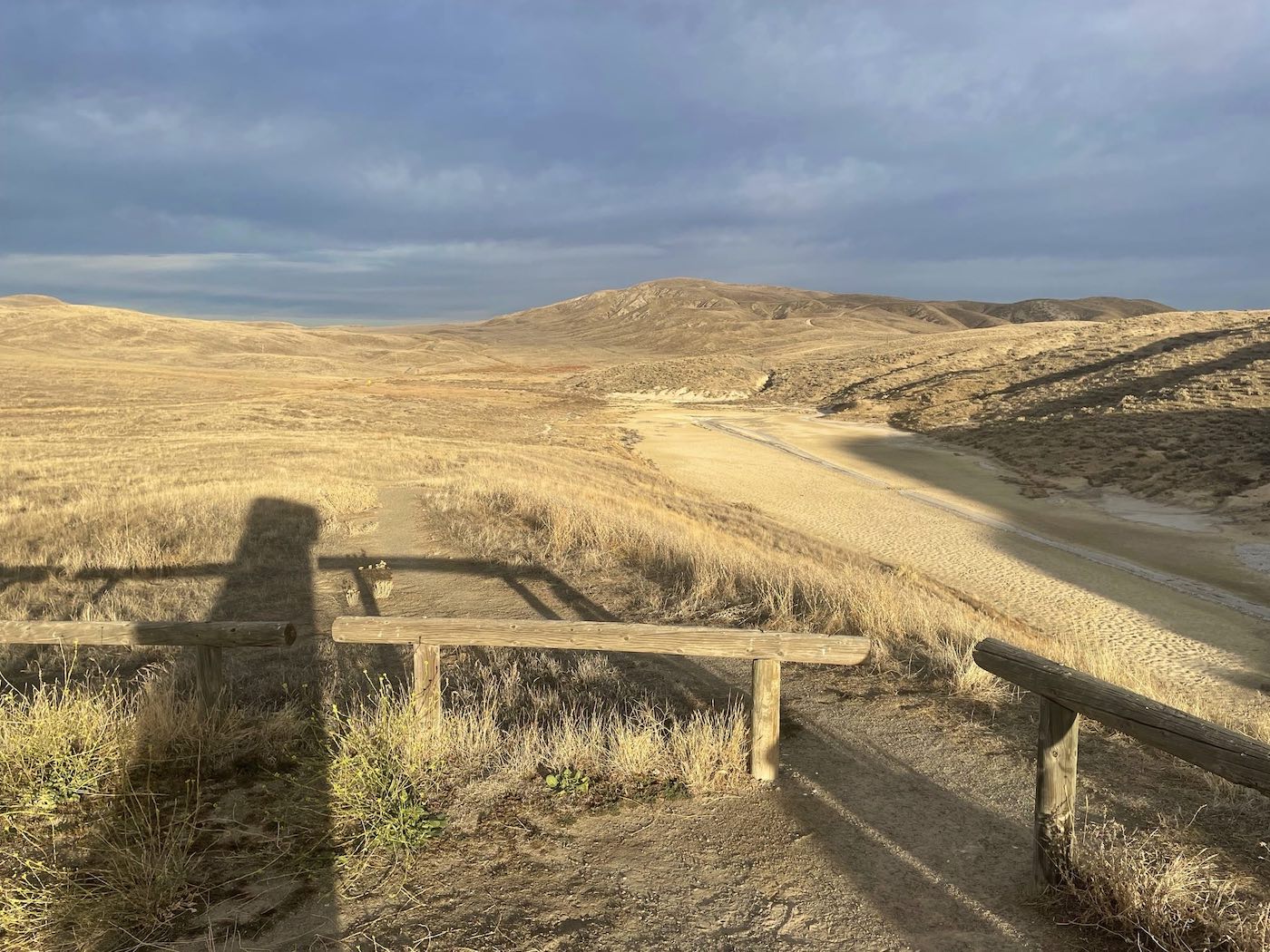
flat light, flat lake [Soda Lake] and old-timey roads led north, eventually exiting the minimalism
of the Monument into country [un]settled in ways that made yesterday’s desert seedinesses seem pretty together – a sort of abandoned vehicle/abandoned California methlab aesthetic
prevailing – until after that scatter came Highway 58 with larger more viable holdings; ranches, fences, gates, few opportunities to pull over and a road through fabulous hills way too fun
for driving to bother with photography anyway which led on to vineyards, wineries, tasting rooms and eventual affluence on the descent to Paso Robles, through which I passed without sighting a single likely breakfast place so substituted the first rest stop upstream of San Miguel
[actually downstream, the Salinas River running north] to raid the ice chest before returning to the highway with Camp Roberts on the west, oil wells to the east, Nacimiento, vineyards in fall coloration giving way to industrial agriculture by San Ardo, the ag continuing past San Lucas,
King City [where after crossing the river the mountain to the east that looked to my young self in the fifties like a racecar from the forties still does], Greenfield, Soledad – missions and
prisons – Gonzales to Salinas, home of Deadend Worldwide; I pressed on, turned at Hollister to pee despite it now being a four lane freeway and then, the possibility of Lunch in Benicia
looming, bombed up through Gilroy, Morgan Hill, San Jose, Milpitas, Dublin, Pleasanton and after a brief delay watching Highway Patrol officers deal with some sort of Mysterious Mess
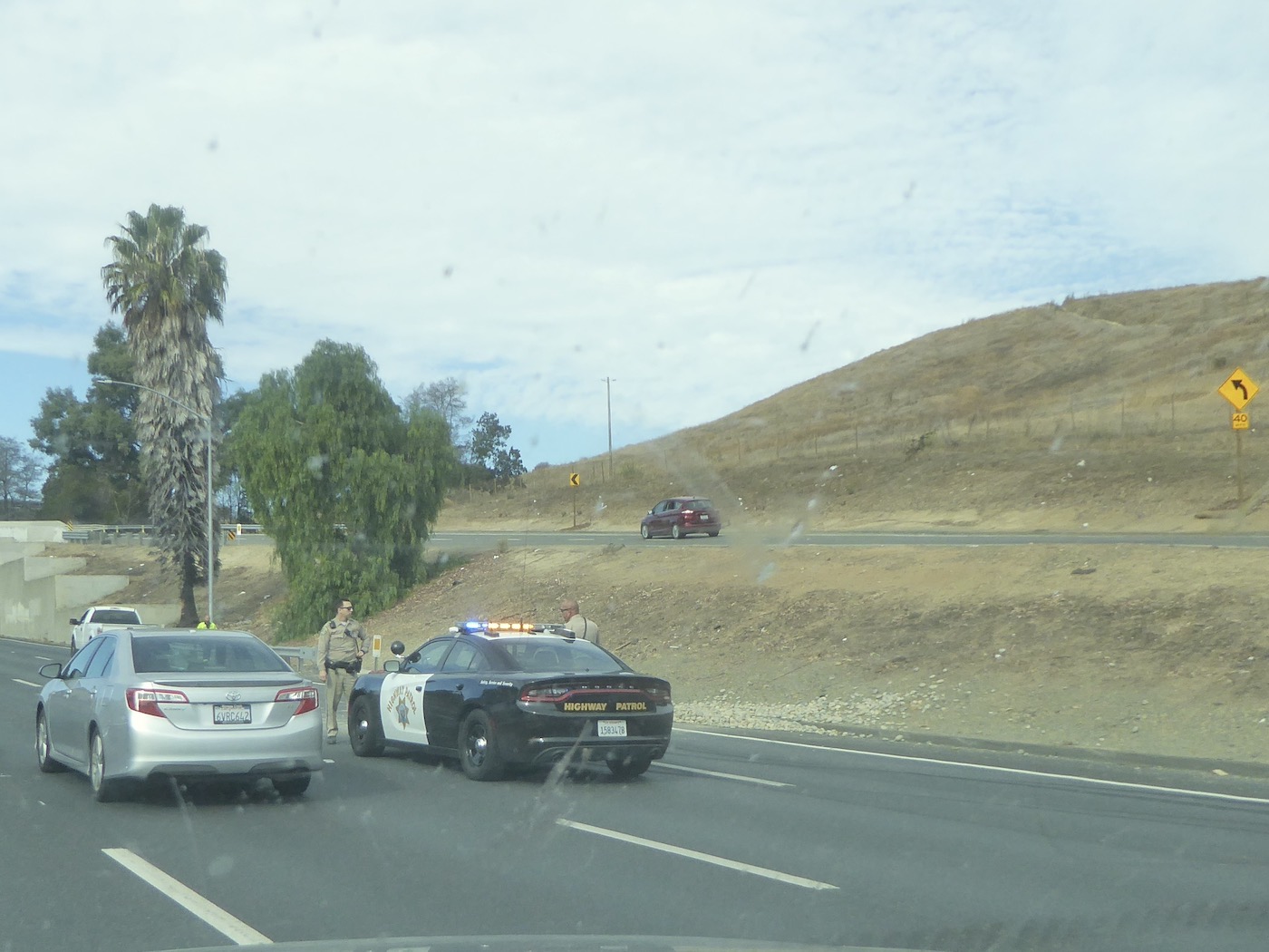
before Martinez that closed down two lanes of 680 still made it over the bridge and back,
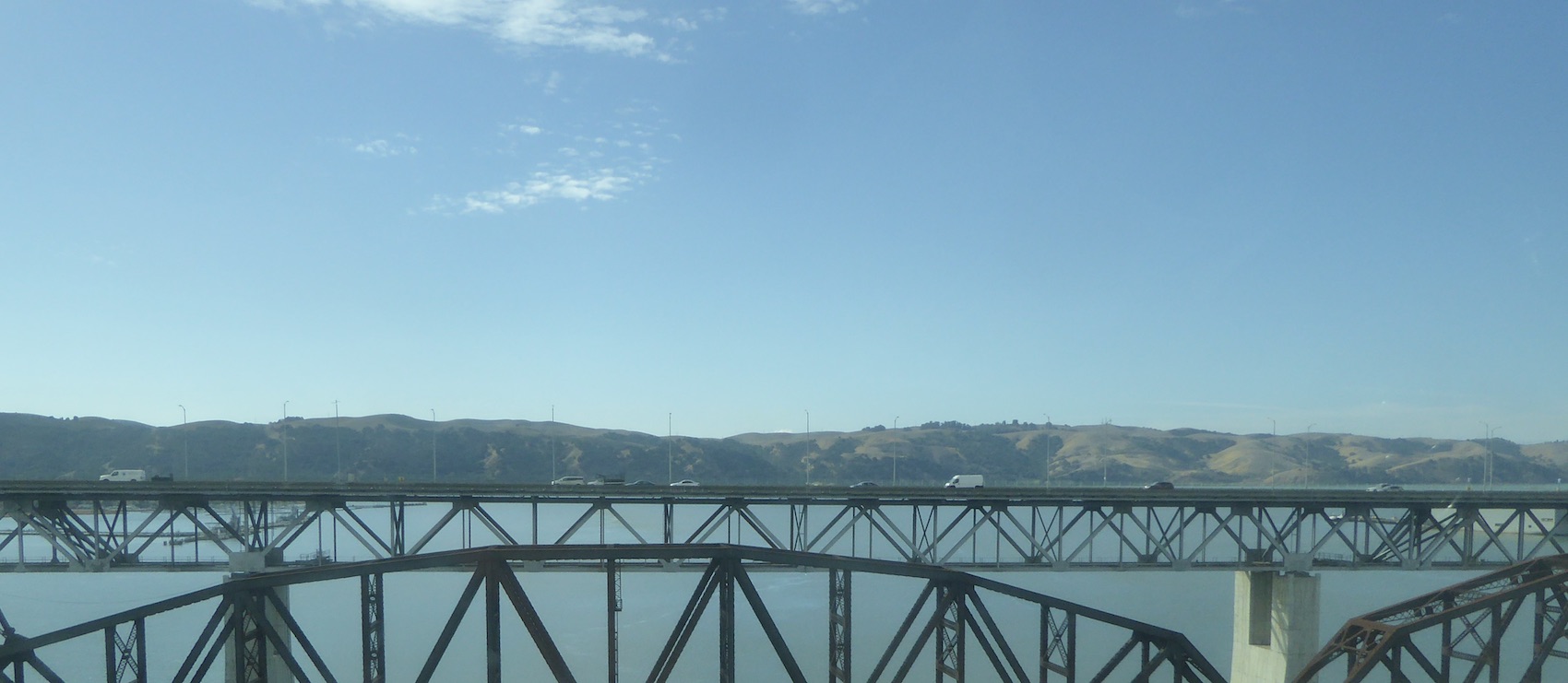
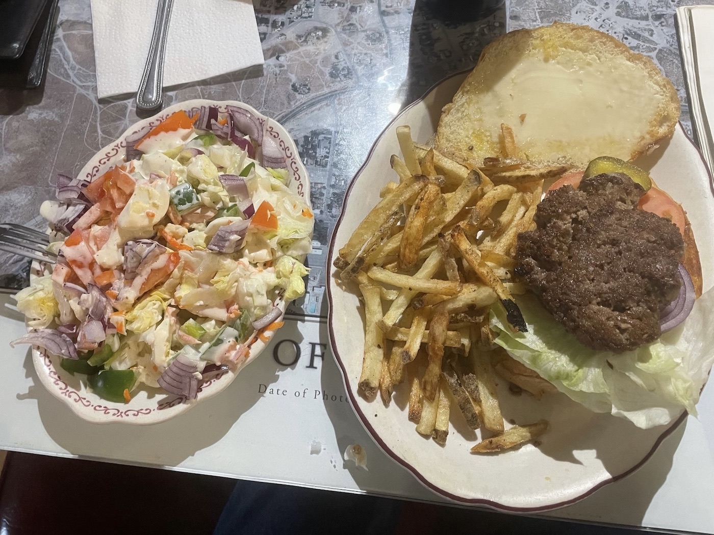
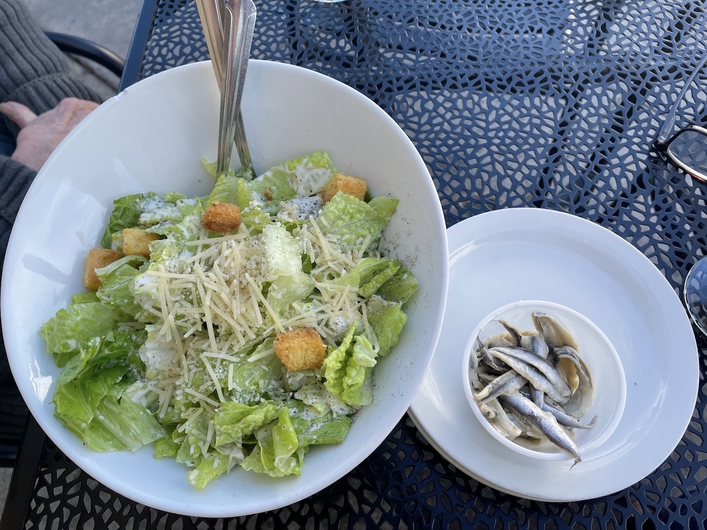
after six months away, to Benicia’s downtown for a mid-November outdoor lunch of Lucca’s caesar salad, extra anchovies and, not shown, their ahi tacos.
Ok; time to settle in…somehow.
*It was a WWll desert training center from there to Twentynine Palms and all the way back to Bouse [rhymes with ‘mouse’]…quite an expanse.
a grand migration, once again. Welcome to home, or one of them anyway.
I just spent several hours going down the rabbit hole of this “Coming Back…” blog; an excellent documentary of drive-by shots, windshield views and well-composed pull-off-the-highway compositions; plus your written descriptions (of course).
Side-tracked by lengthy Google map explorations of your route, I spent most of this morning visiting nearly all the links (especially info on the Rice Desert Training area’s impressive WWII 5th Armored Division, Carrizo Plain and Lee Salutos’ haunting pictures of Wonder Valley). There’s a lot to see out there and I’m surprised how much you gathered in all those miles and still got home in time for lunch!
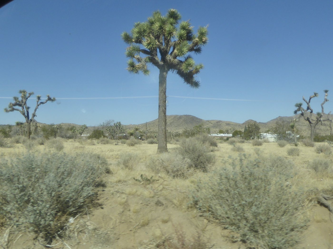
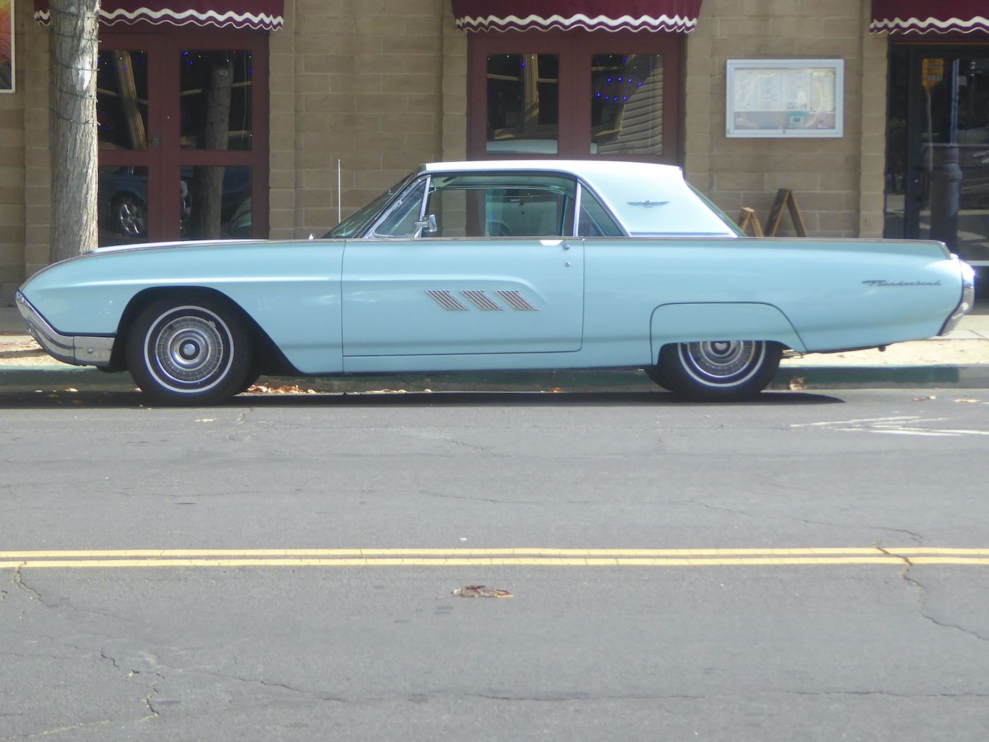
Fav photos: the perfectly timed drive-by of a Joshua tree hiding a telephone pole, the phalanx of monster wind turbines peering over a Tehachapi ridge (like Imperial Walkers?), early morning light in the Carrizo (especially re-purposed pipe corrals a la Escher) and, finally, the diptych of Benicia bridge(s) & T-bird.
Now where you gonna go?
Going back to Wall on Tuesday as December’s filling up with stuff that will preclude a later visit [!]…those pics are some of my favs, too, thanks! Glad you pursued the links; the Rice Training Center’s really something, no? I learned a lot, retrospectively.
Like some of your other fans, I enjoy the road trips, but this one was special because for once I am familiar with quite a bit of it. When I read the post for the first time I had to think about your various routes. Then this morning a week later I consulted my detailed topographical maps ( a book that helped me with the Salinas River project) to try and figure out how you went…Then I went back to your post and wrote down the route. Can’t brag too much, but I figured a lot of it out. Katie and I came from Albuquerque via 66 and then went 58…thru Boron ( 20 Mule Team Botox), she having none of your fondness for desert vistas. Carrizo Plain is a place a number of folks have recommended; in the spring it has an abundance of wildflowers and is generally , well as your images showed, intriguing. So as you left Carrizo for Paso on 58, you could have turned onto Pozo Rd. At La Panza. This is the area of the source of the Salinas River, down Pozo with a turn at Avenales Ranch Road. Of course once you were traveling on 101 all very familiar. There is a road my parents took once, Hwy. 25 to Parkfield. I tried to go from Parkfield to Hwy. 198 a few years ago and was blocked by a fallen oak not far out of Parkfield. Your account is encouraging me to go to Carrizo this spring.
Yes I thought of you and your researches a lot coming up the Salinas Valley, also about the Source though didn’t seek it. I hear the Carrizo’s mobbed with floral tourists in the spring; the quiet empty winter was more to my liking.