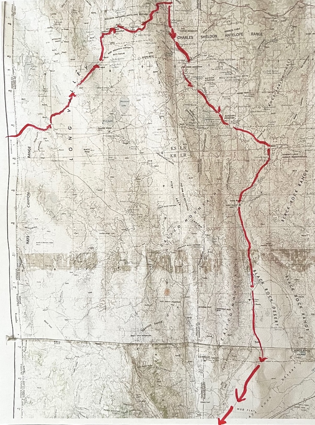
...Reservoir to Place…
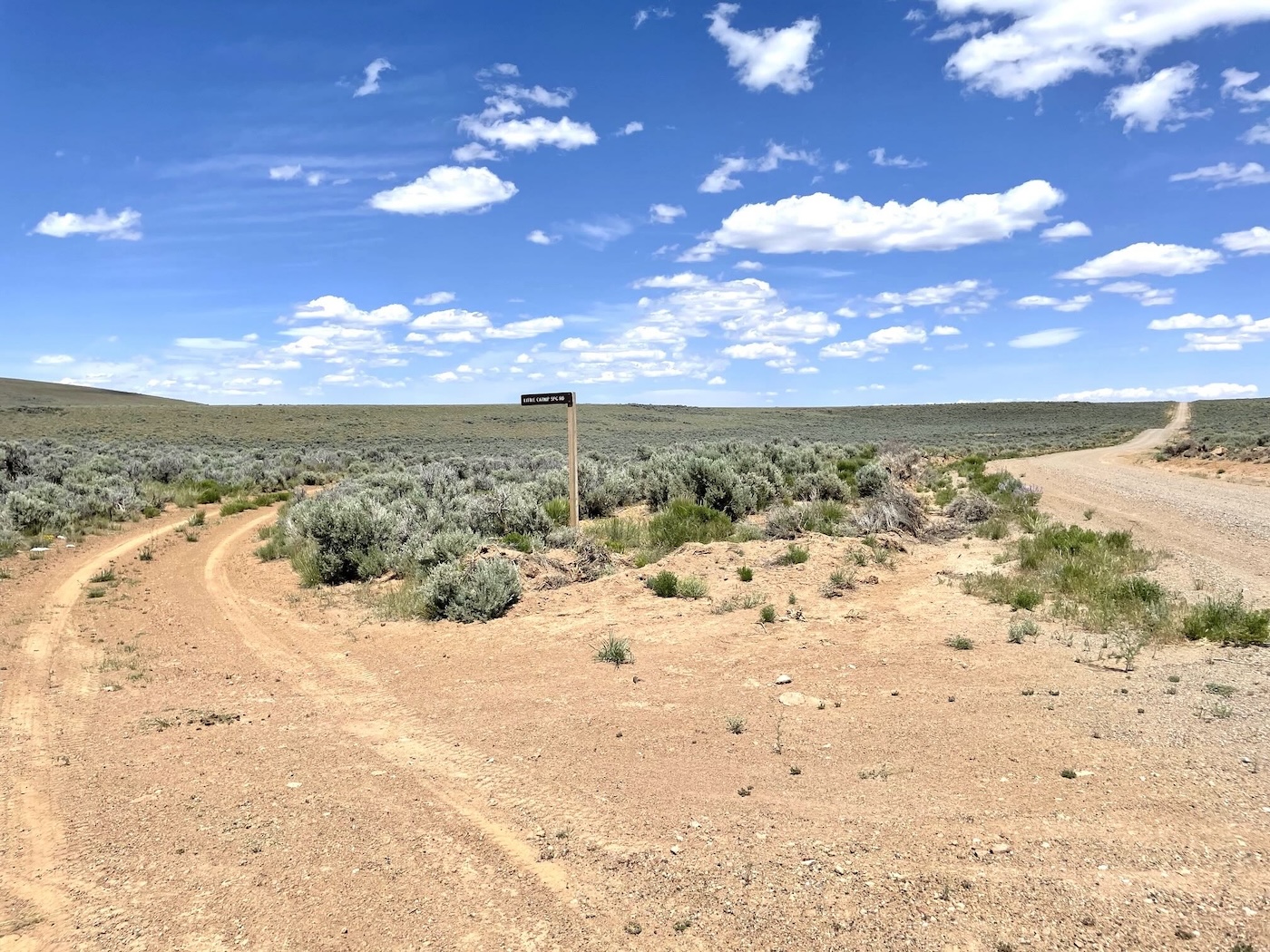
So a mile or so up from the reservoir there was a less trafficked track signed [unlike over the border in southeastern Oregon where locals routinely remove all signage] for Little Catnip
Spring; just the road I was looking for. There was supposed to be a campground on the way in,
but it sure wasn’t evident though the Spring, which turns out to be around
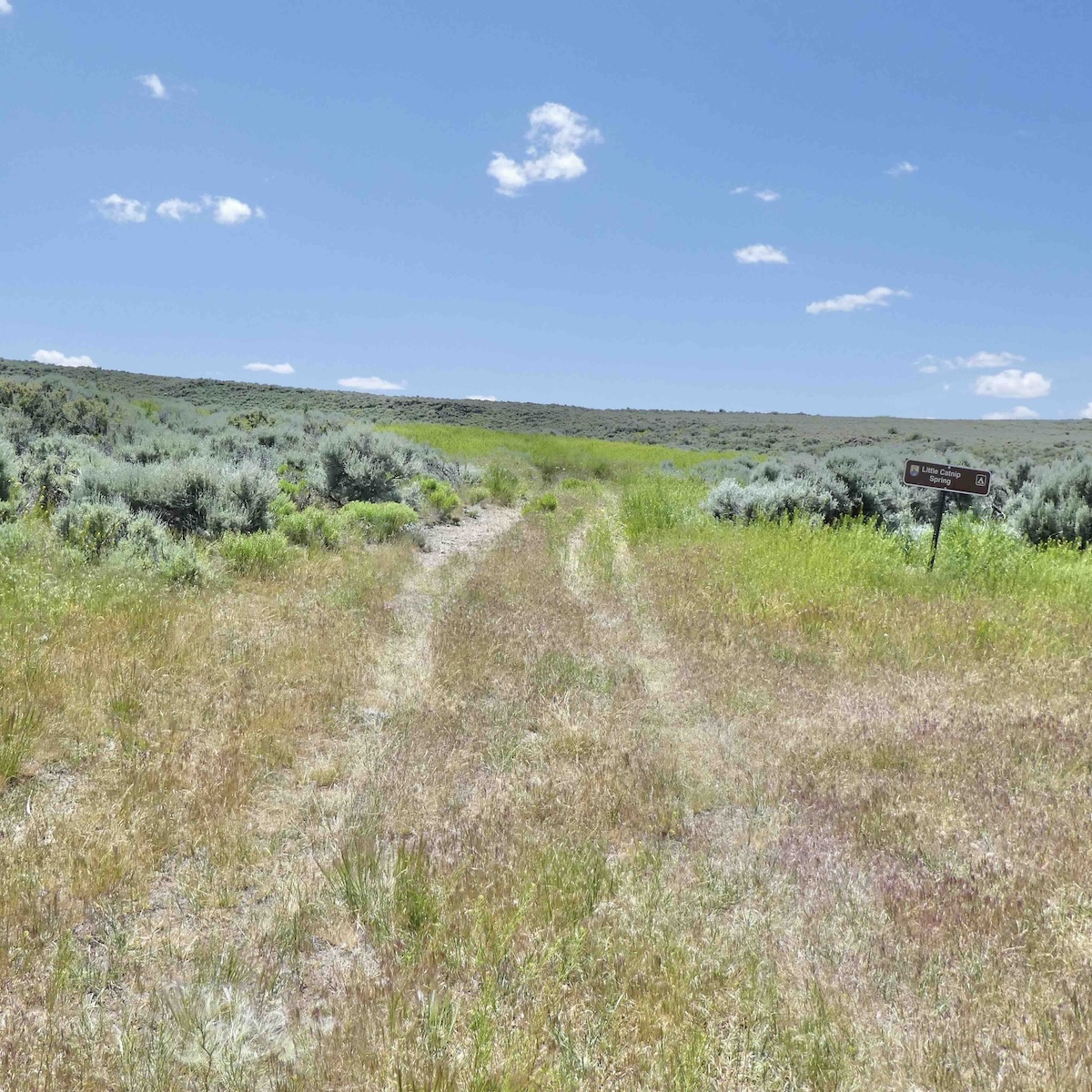
6100′ elevation, was plainly marked, marking the End of Designations for awhile.
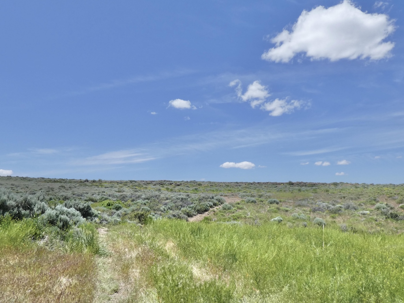
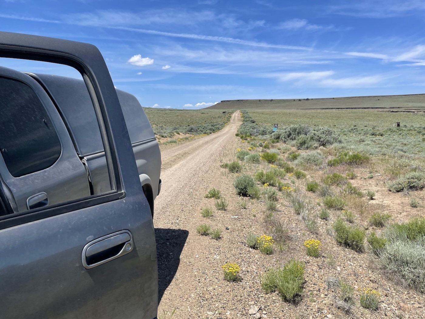
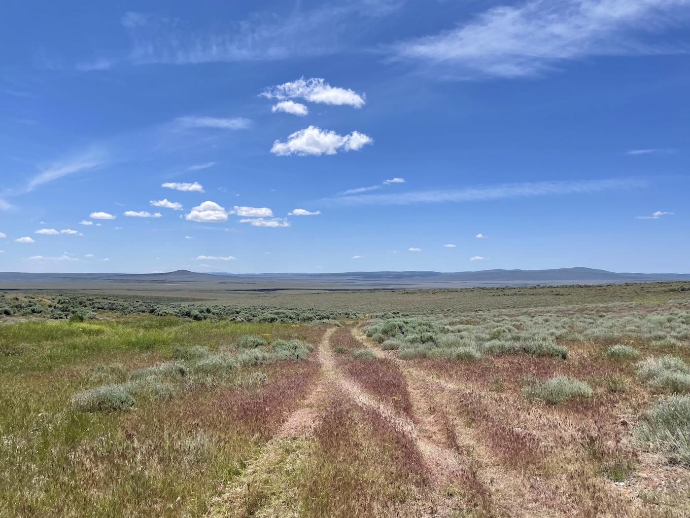
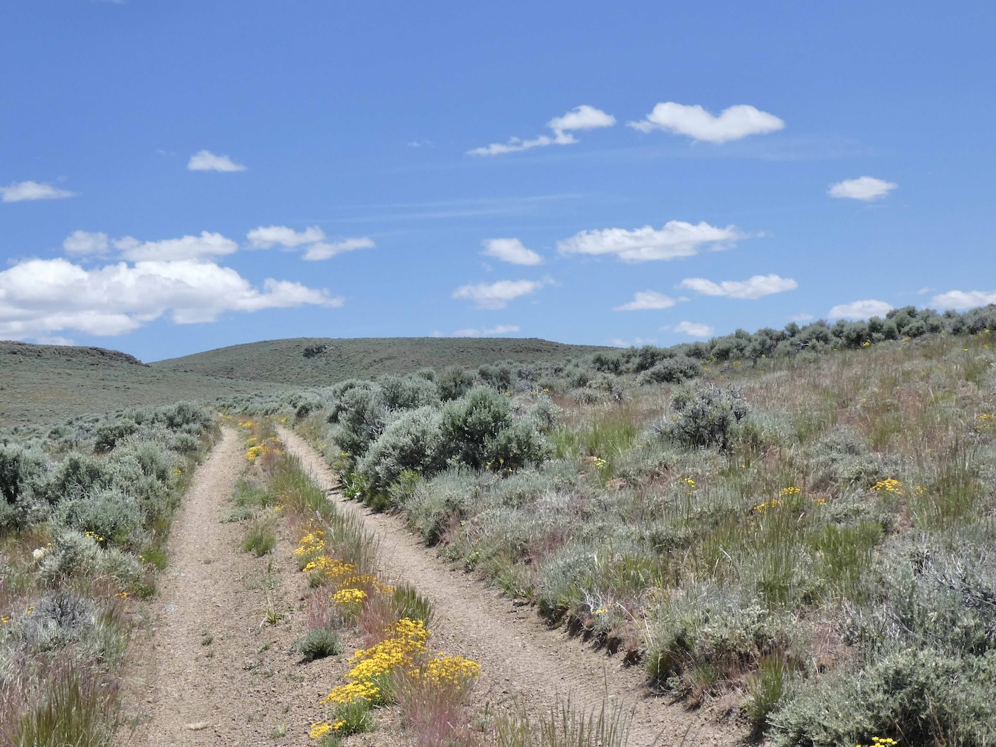
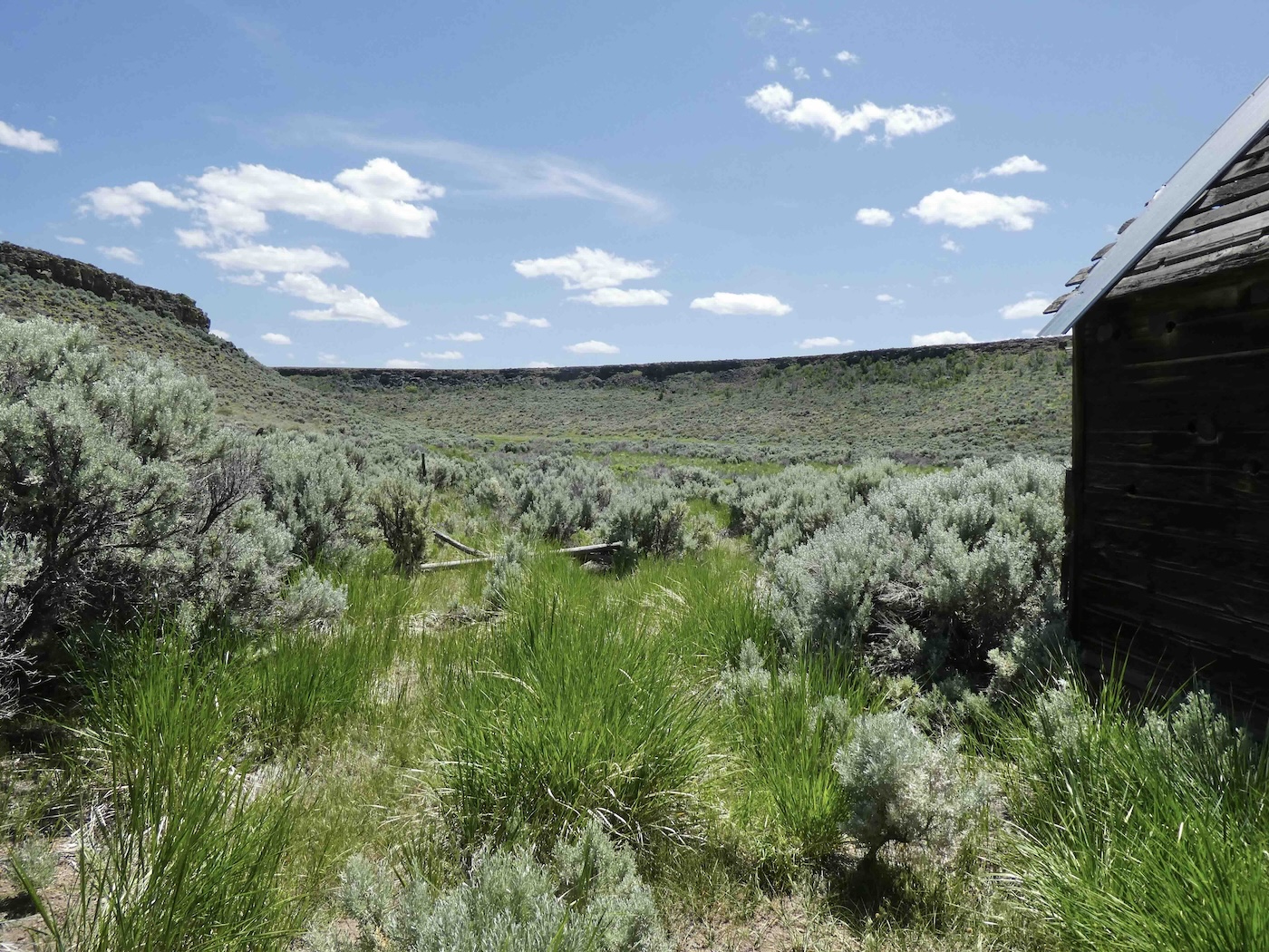
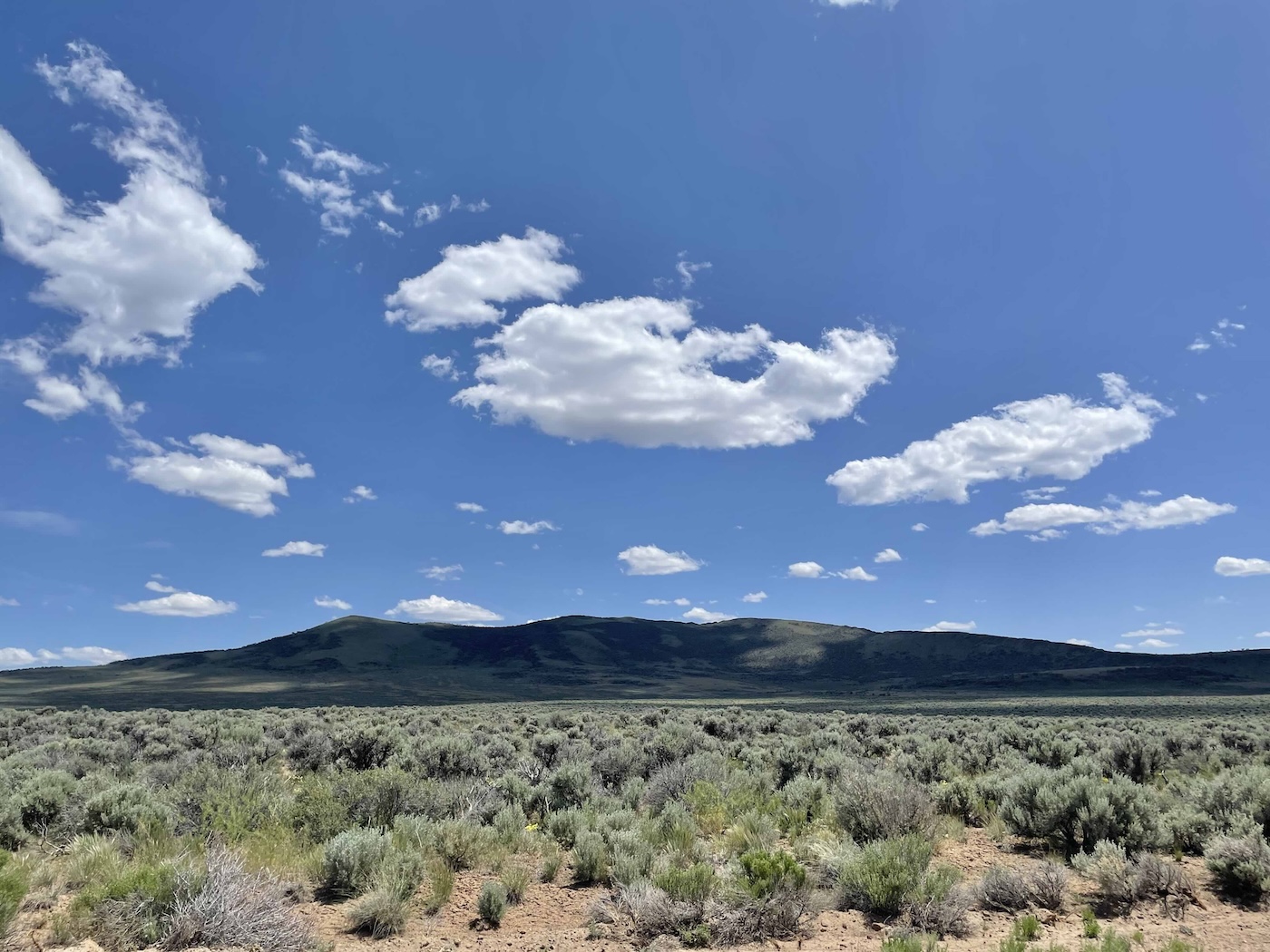
Not the end of the road, tho, which continued on a bit higher, contouring the western
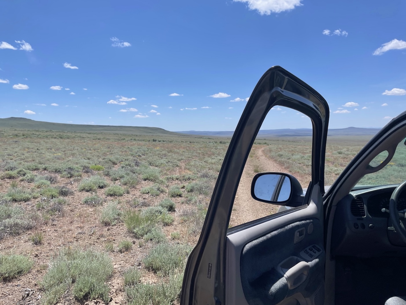
and southern slopes of Catnip Mountain at maybe 6300′
to eventually reach, south and east of Little Catnip, what they call West Catnip.
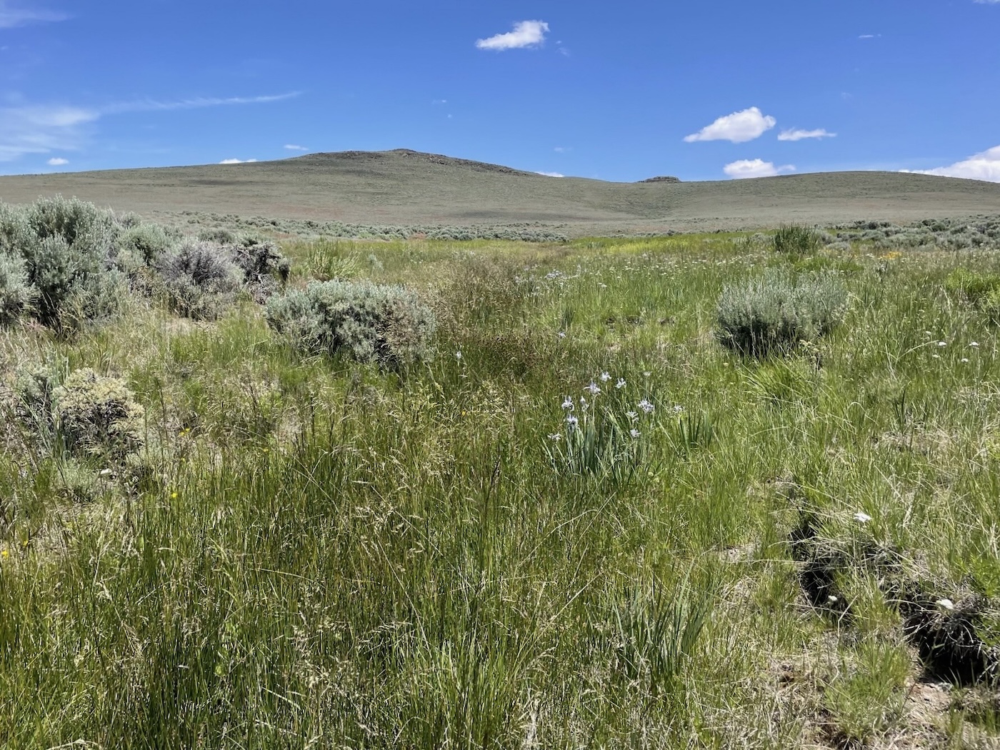
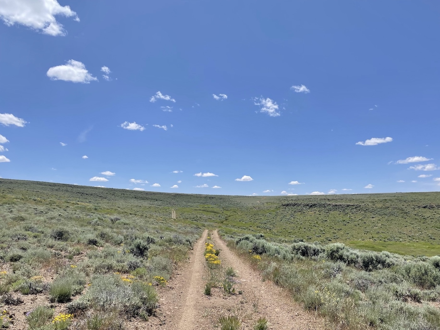
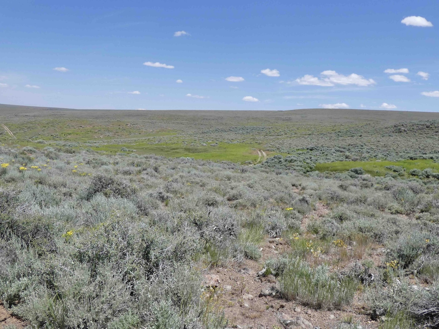
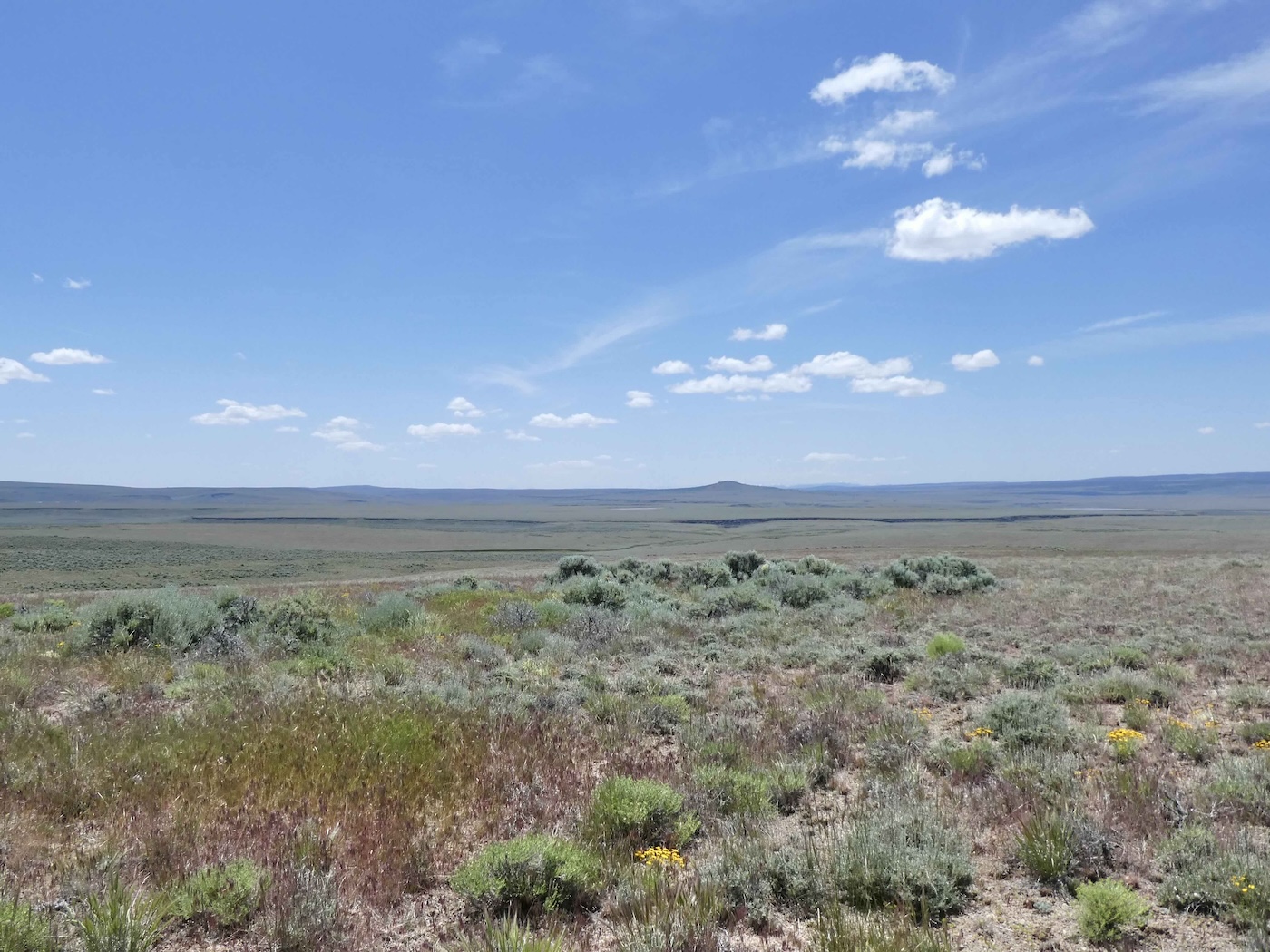
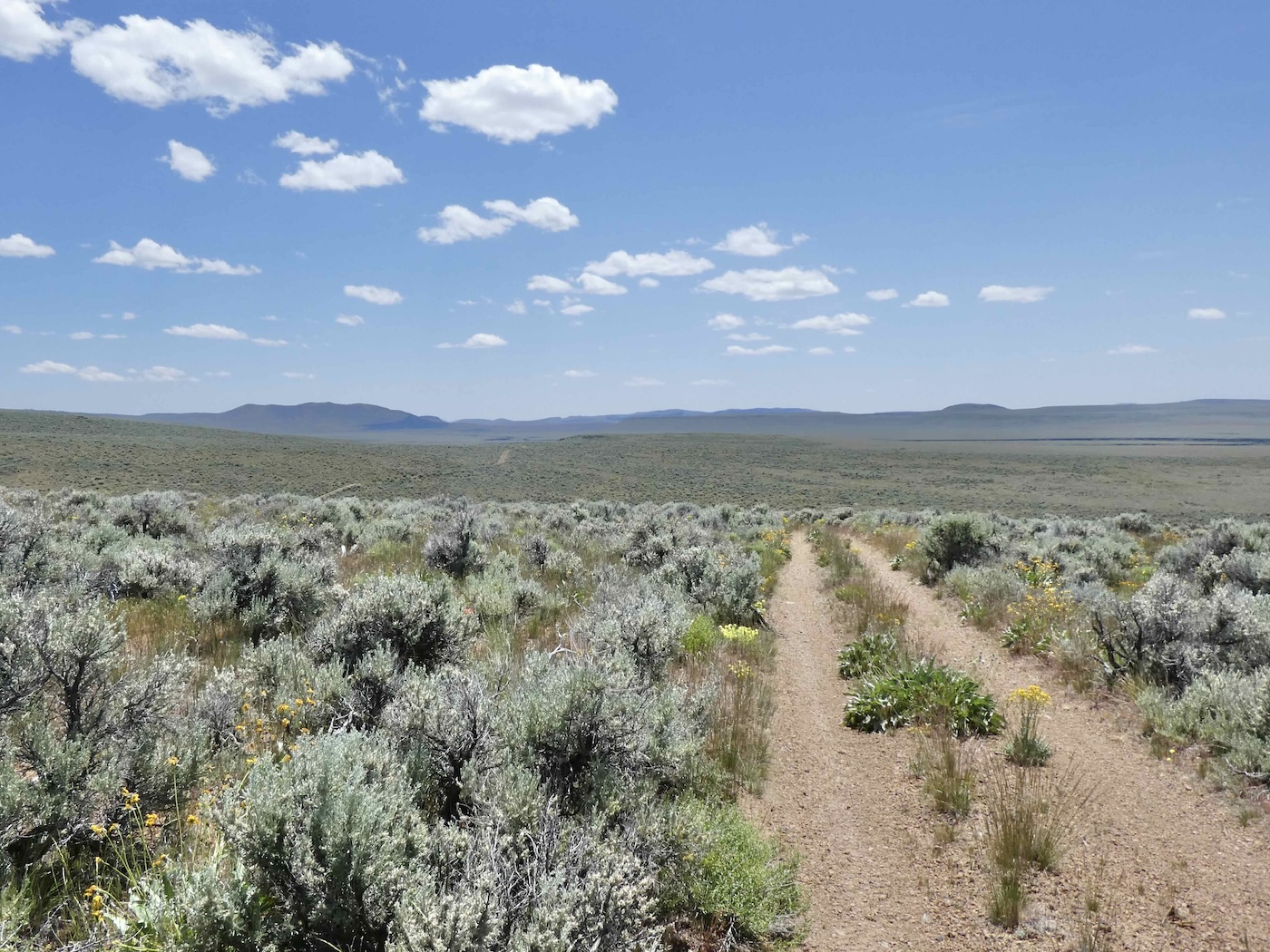
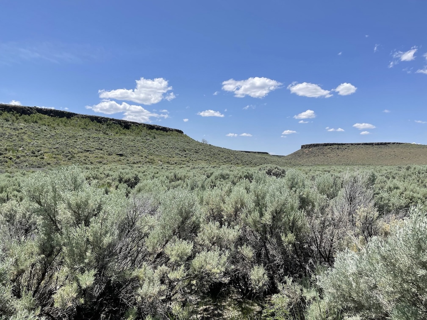
The track continued on, slowly but surely, past several other currently nameless springs
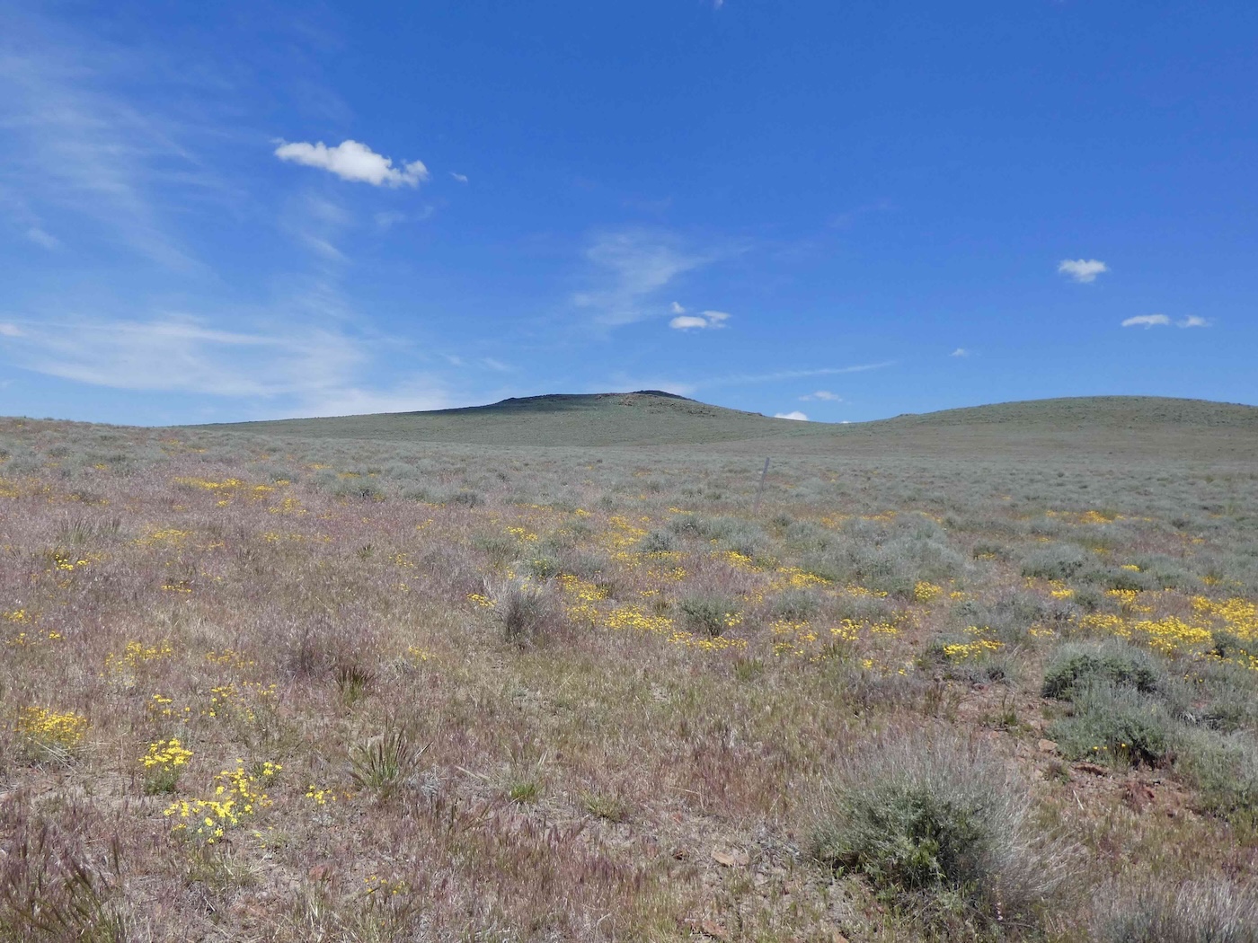
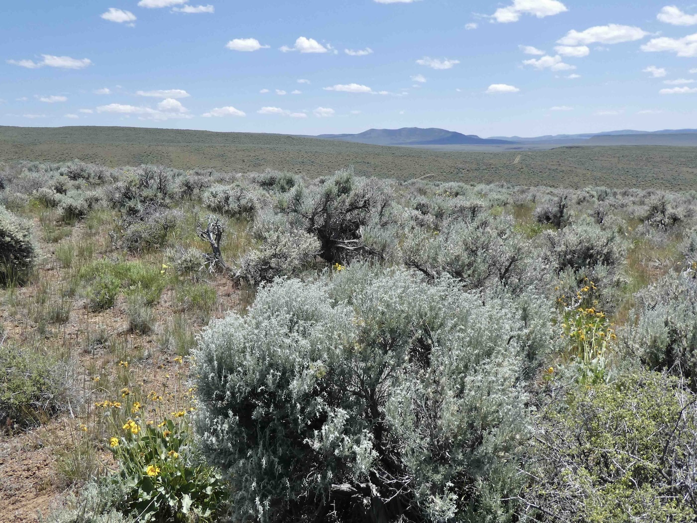
which certainly all had identities back in the days of the Mighty IXL…not now though the high
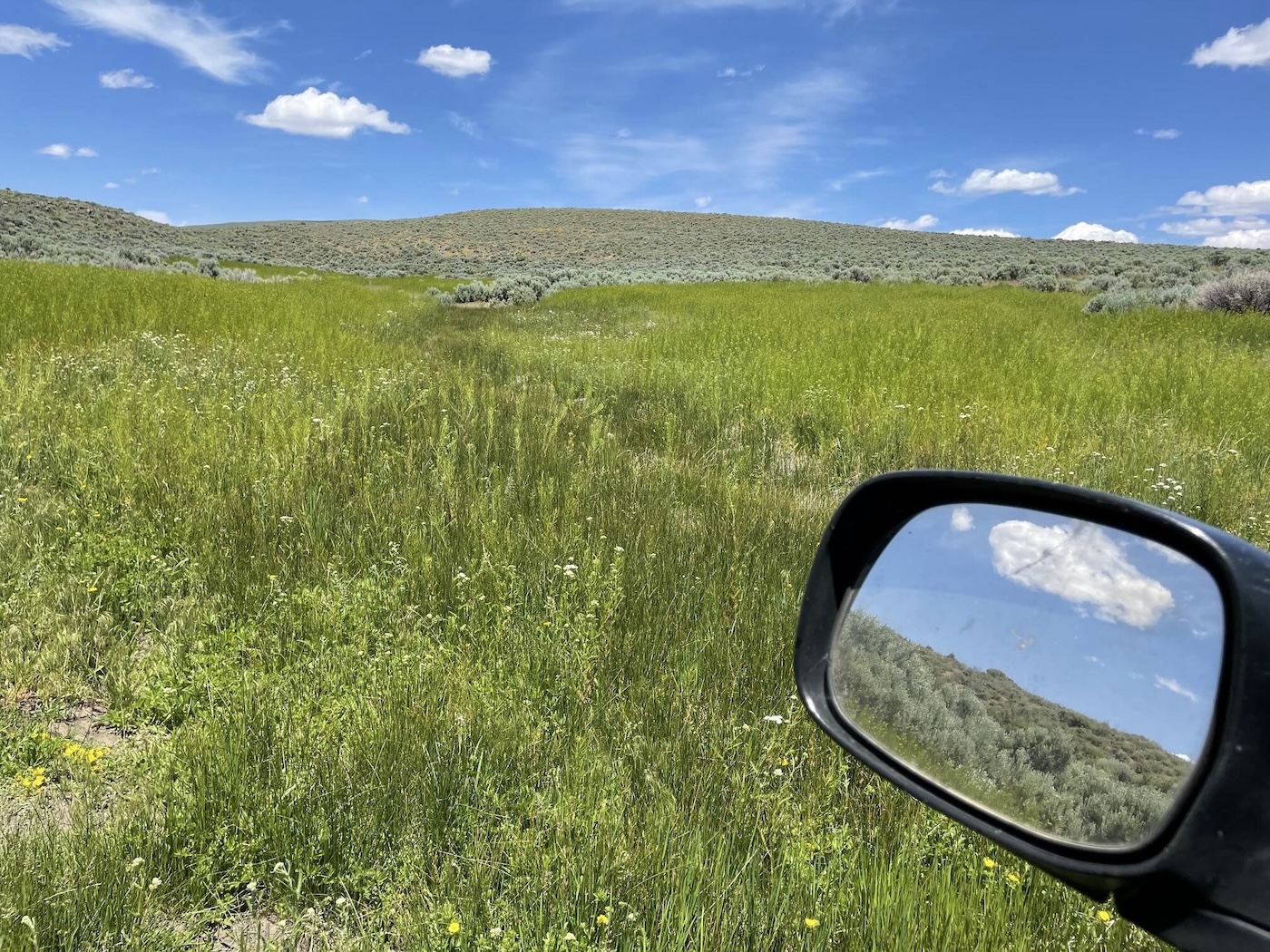
country’s altitude was clearly more verdant [flowers too] than down along
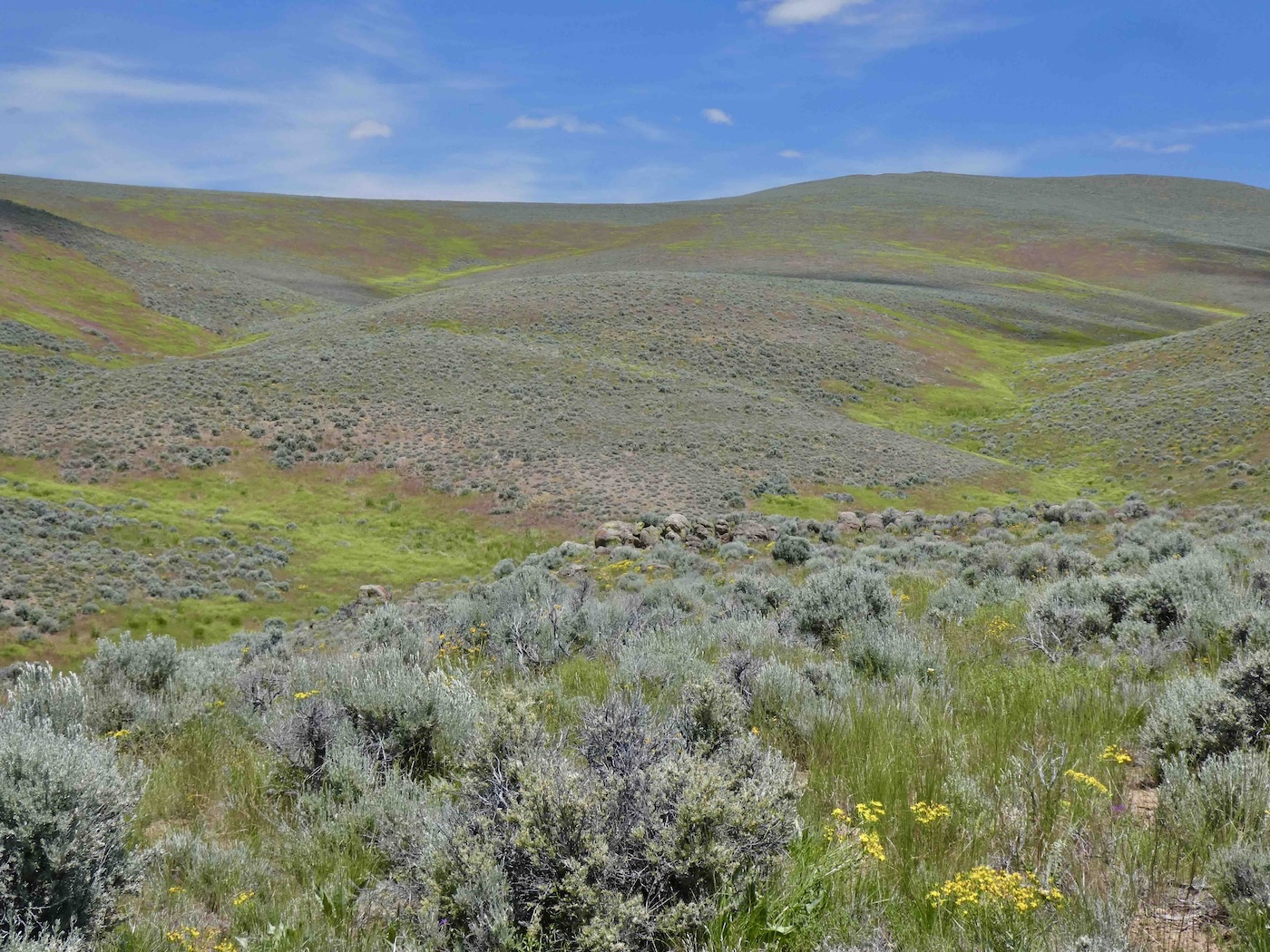
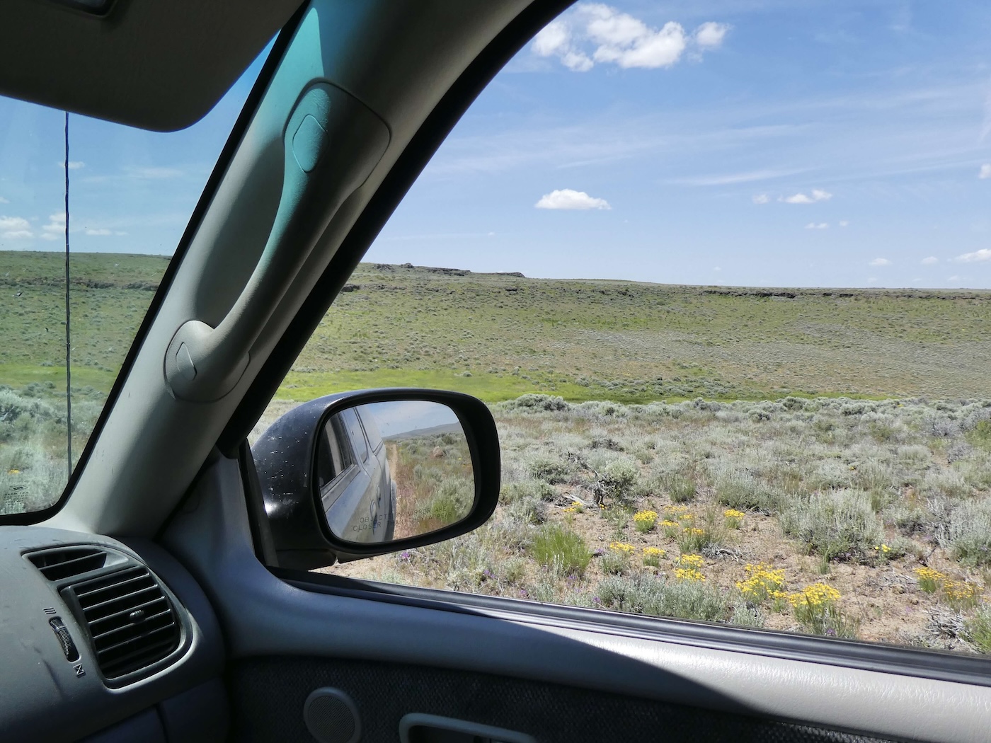
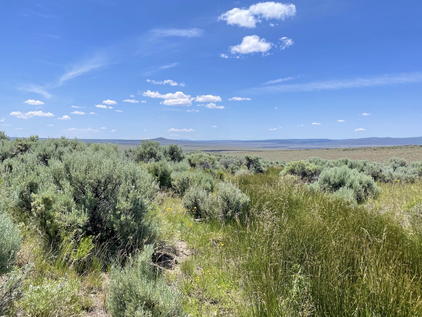
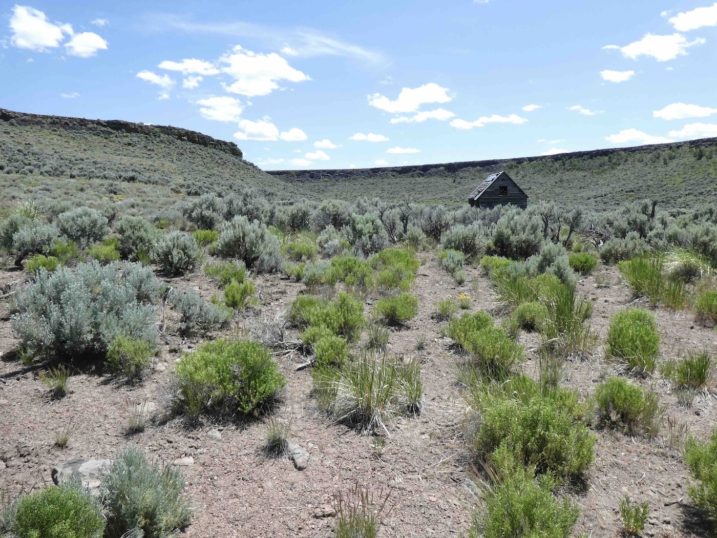
the Smoke Creek from whence we’d come. Finally after Murdoch Spring [who dat?],
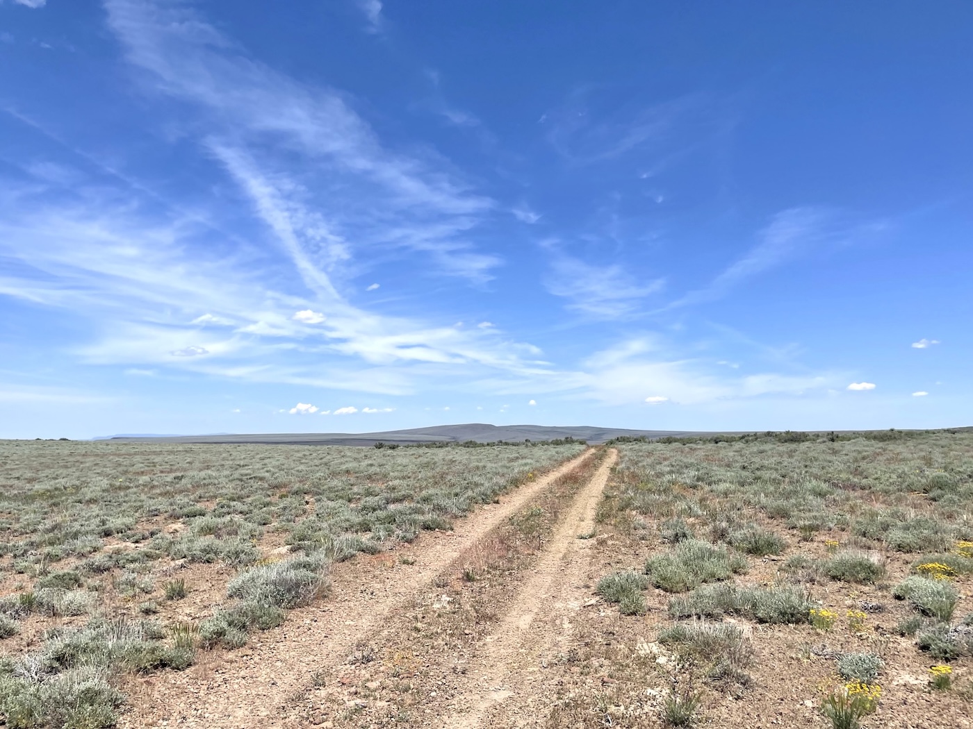
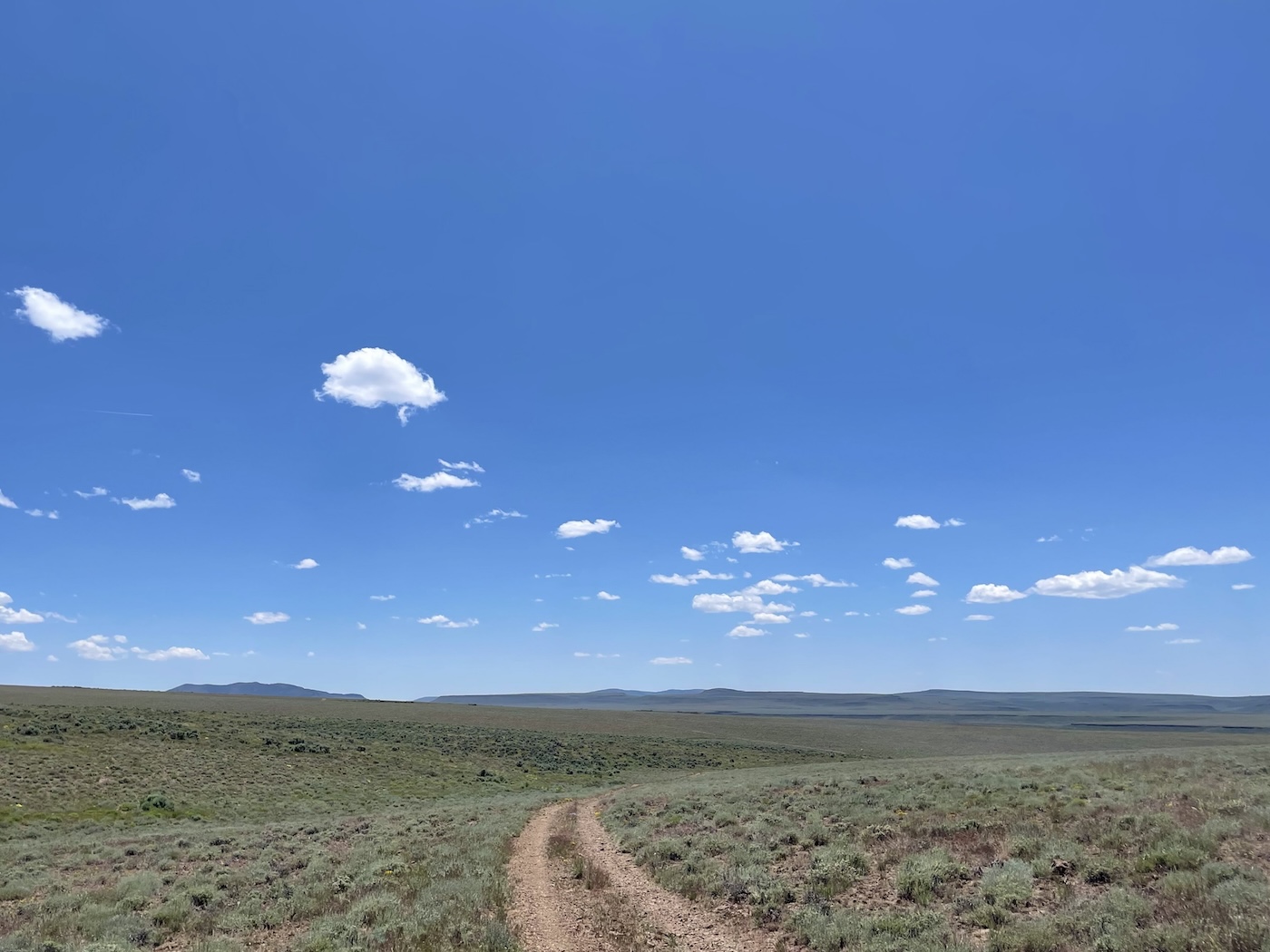
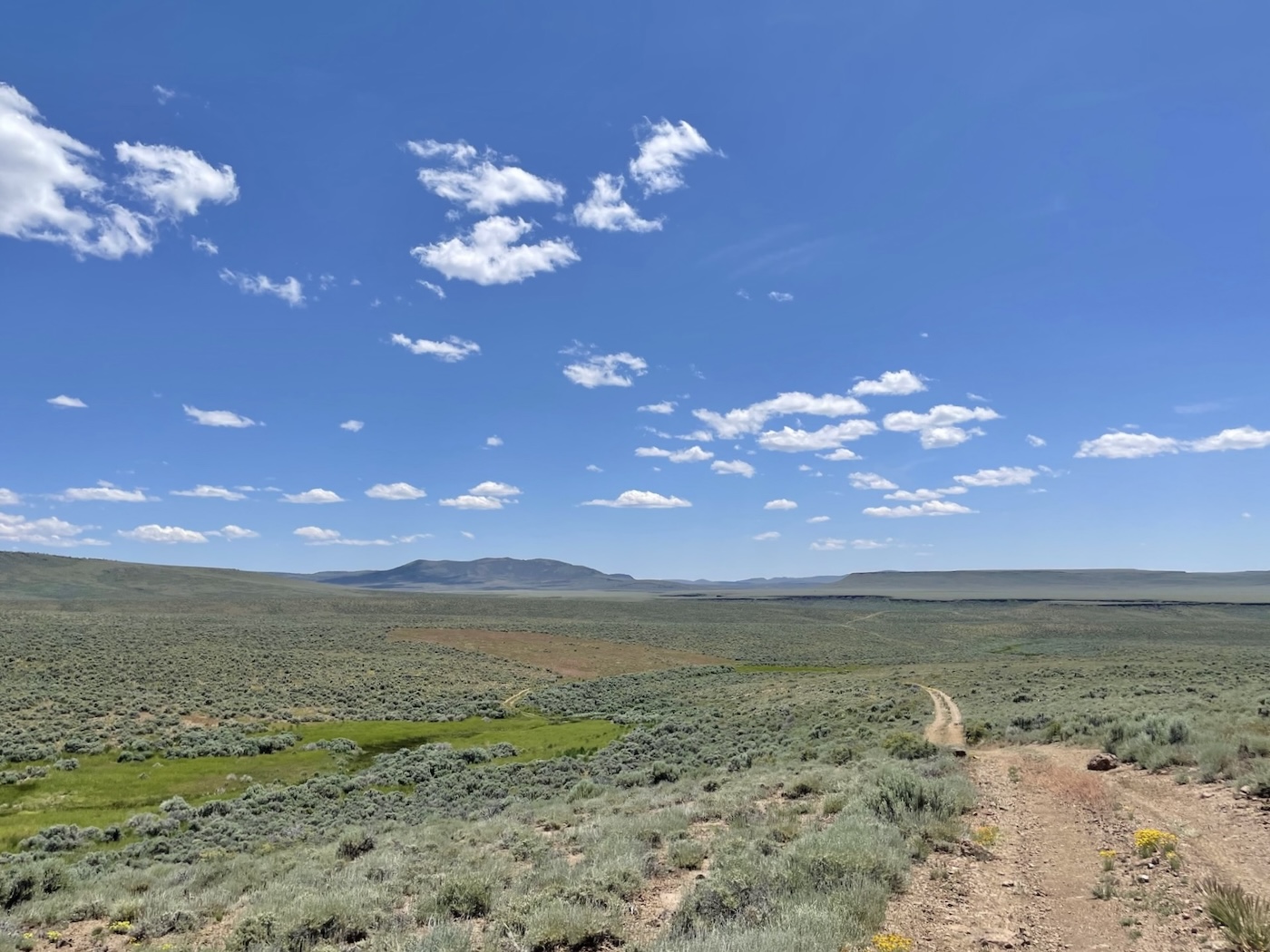
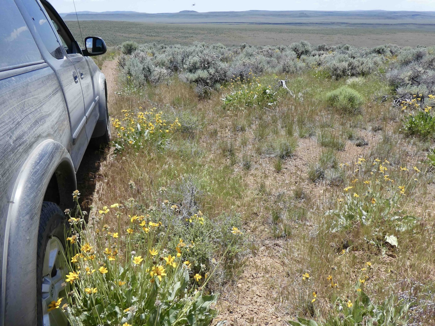
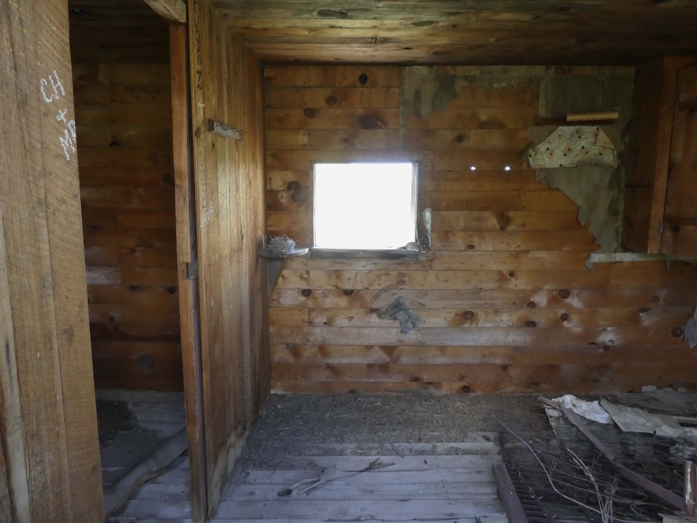
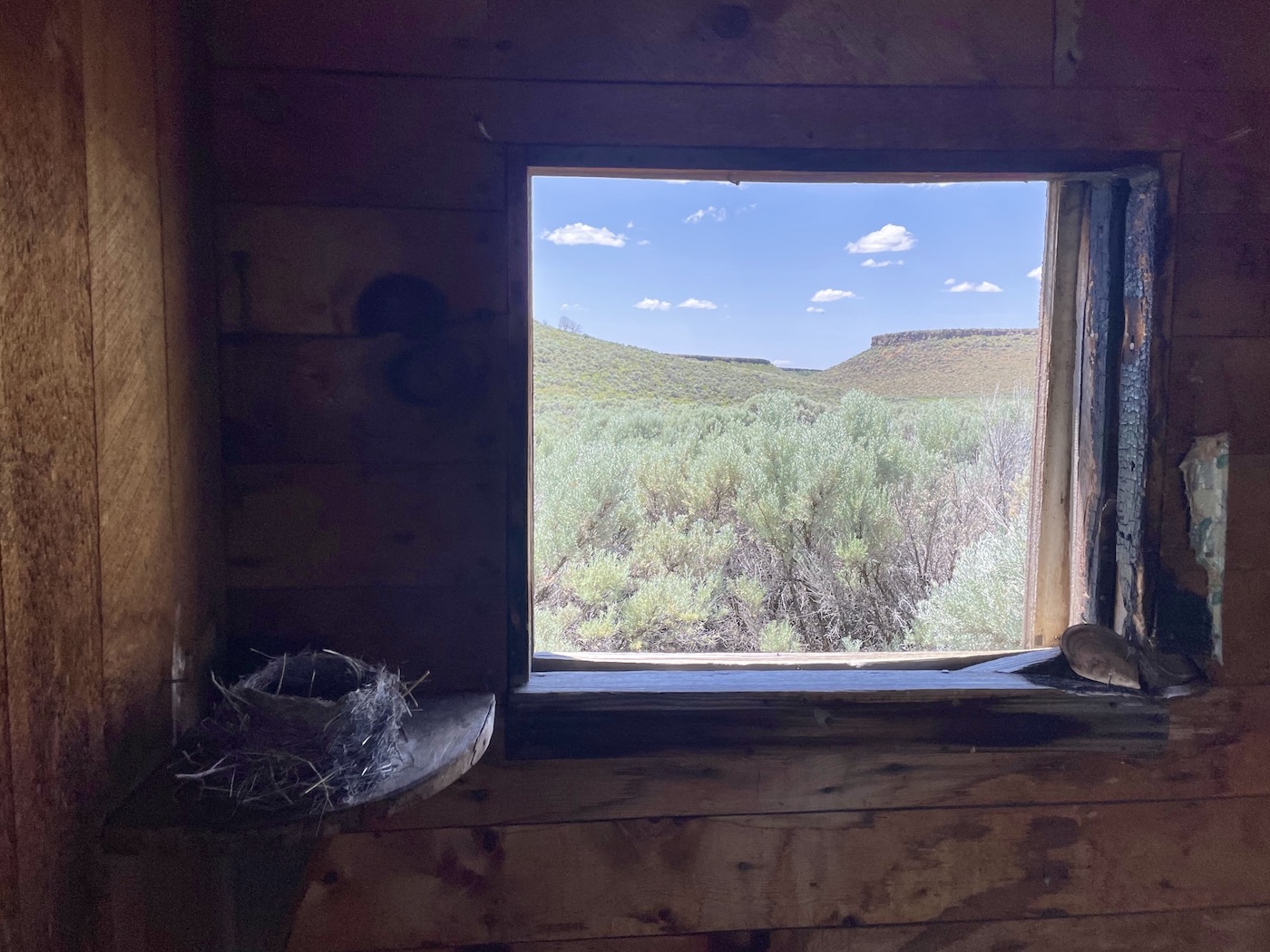
the last landmark before it dropped to Andy’s Place on Fish Creek which, being relatively lower
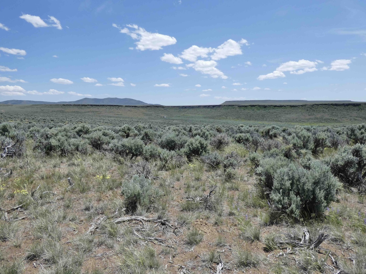
and closer to 8A seems to be a popular tourist destination although overall the remains remain
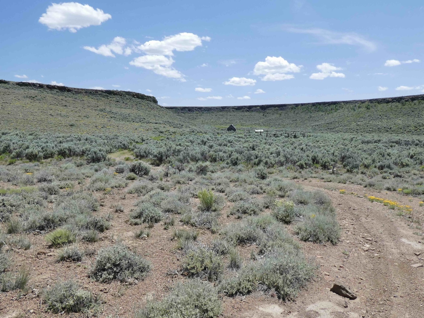
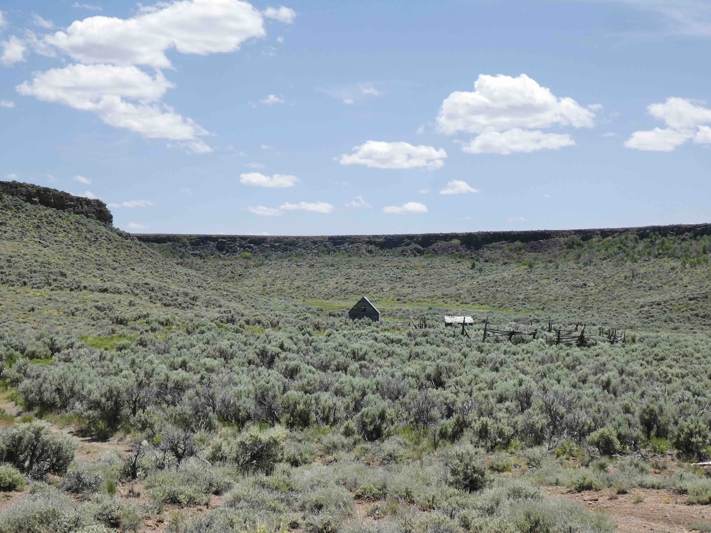
relatively undisturbed, I came down off the mountain. Very little seems to be known about Andy
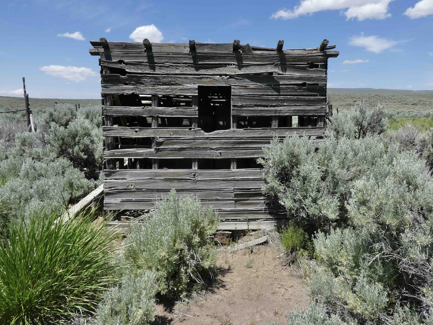
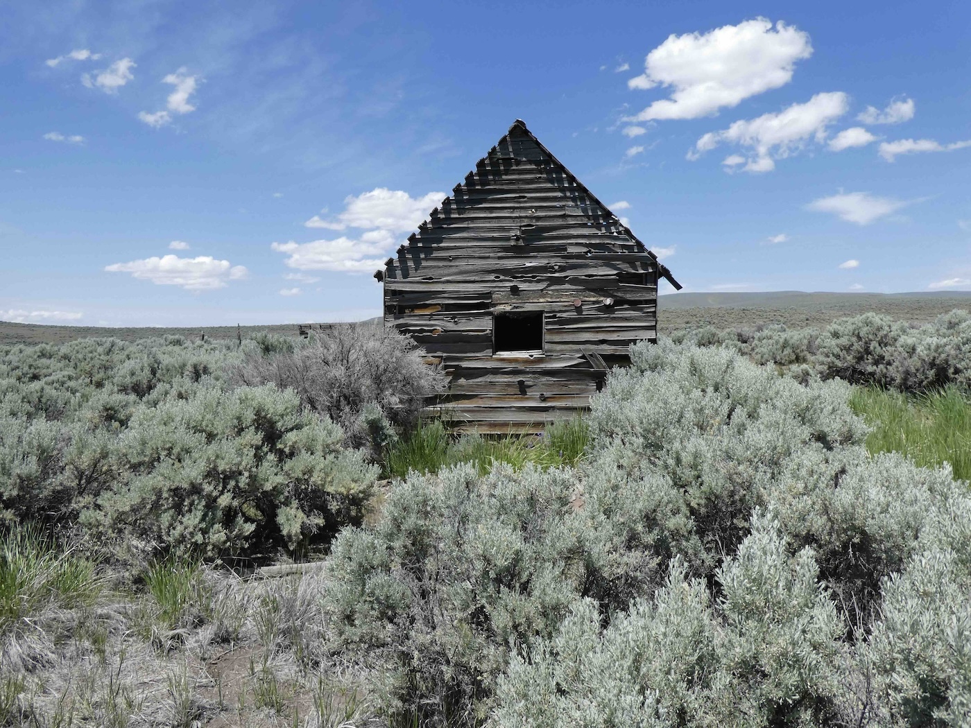
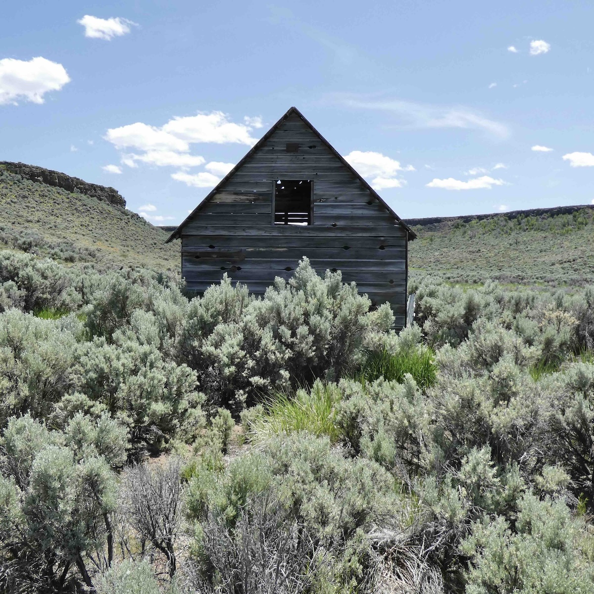
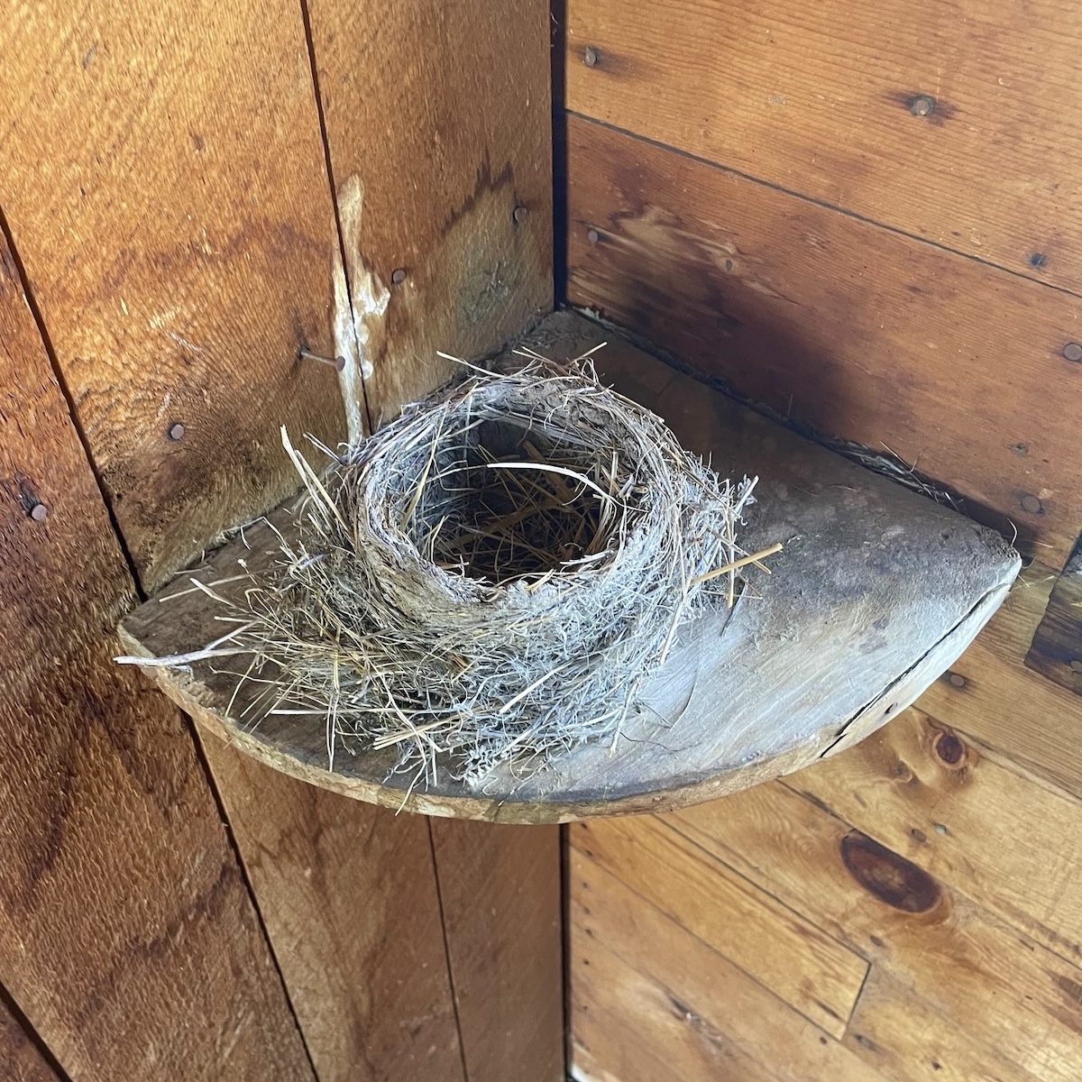
and what went on down there but whatever it was it’s all weathering away in the winds
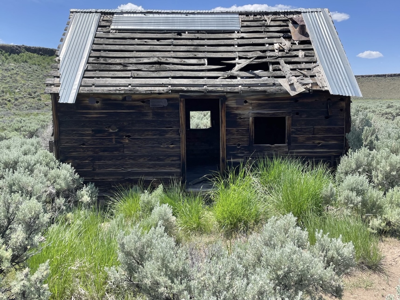
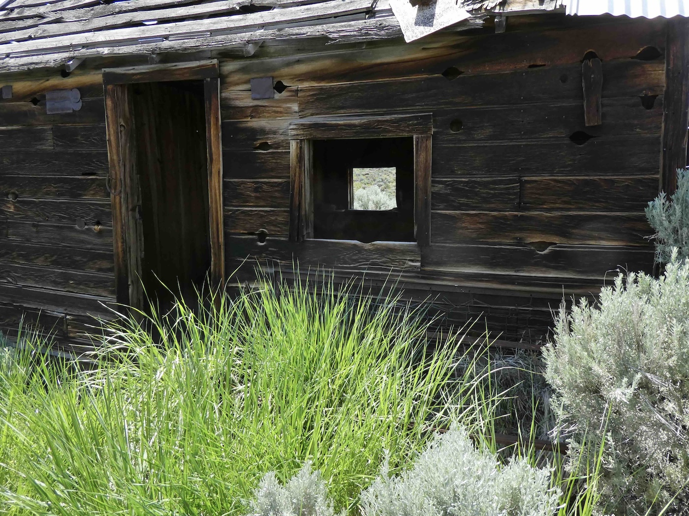
of the sagebrush ocean, now providing a happy home for woodrats…and others.
Finally, at 8A, signage again
Blowout Mountain…[I think] across the way
.jpg)
and, although well into the afternoon, more to come.