[This next from an email sent Tuesday night but for those of you fed up already with endless pics of endless roads, be forewarned; they be 32 of ’em coming up.]
“So tomorrow I’m contemplating getting out of here around nine and going to the P.O., then from Gerlach north on SR 34 to Vya, northeast on 8A to, just before HWY 140, 34A, turning west to cross the Antelope Refuge [if the weather’s bad I’ll turn back and return via 8A to Long Valley], reconnect with 34 at Calcutta Lake, follow that south to Vya, then west on 8A to 299 to Cedarville, get gas, and home down the pavement [447 once in Nevada].”
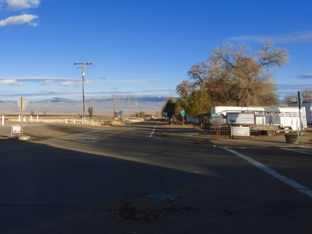
…or so I said; seeing full sun after Tuesday’s clouds was sweet indeed and I was out the gate by nine, intersecting Jonboy on his way in to install the repo’s one remaining [only] exterior light.
…then to Gerlach for gas, mail and, discovering I’d forgotten coffee, weighing the options; as returning to Wall would easily add an hour…
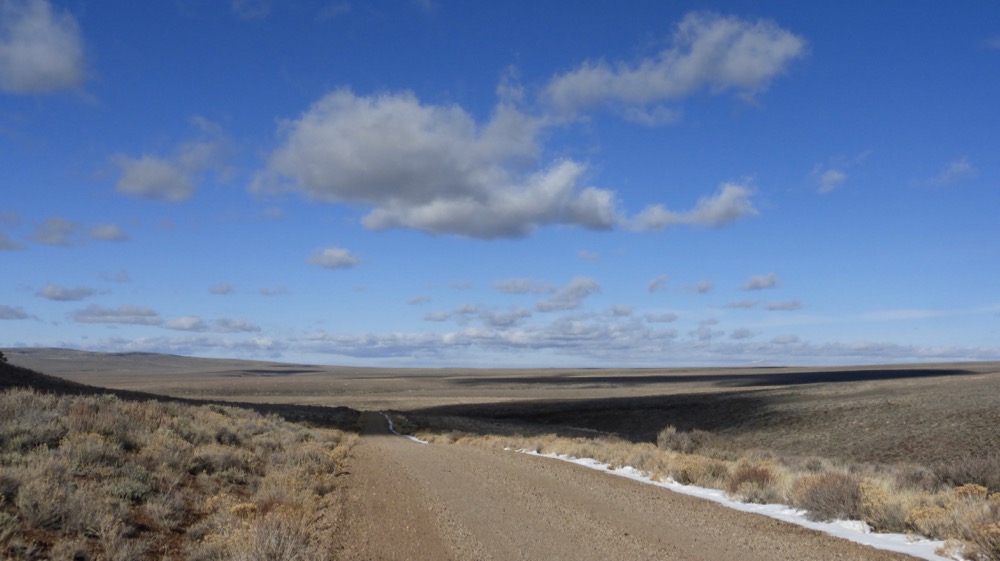
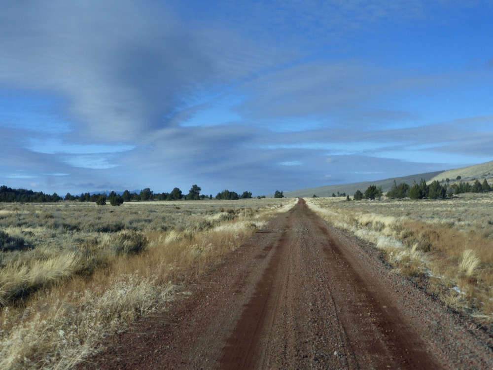
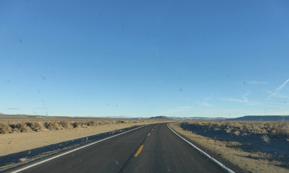
I opted for 34, 9:35 a.m.;
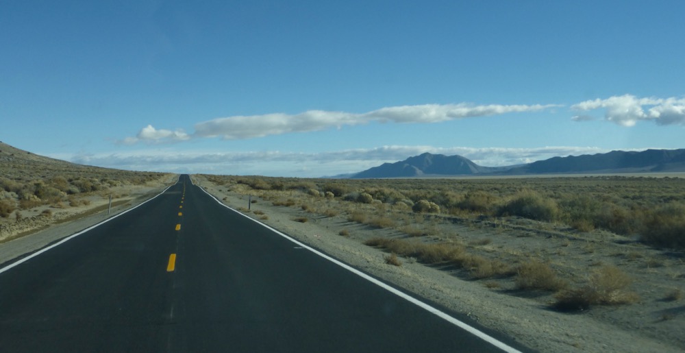
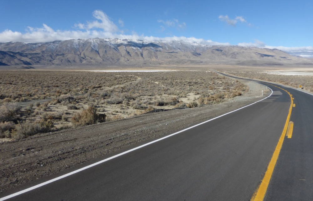
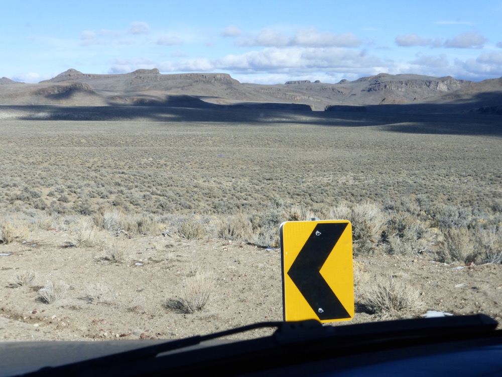
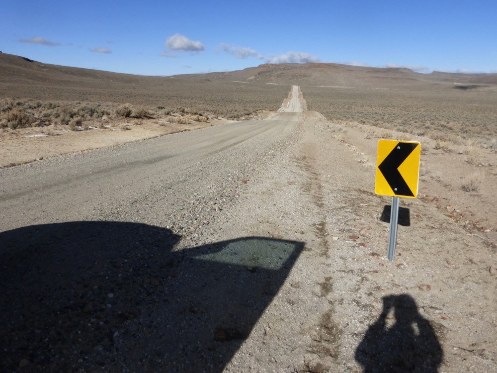
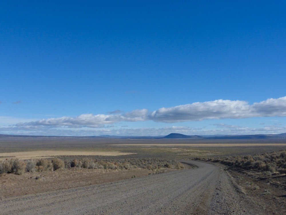
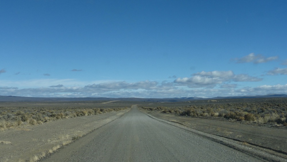
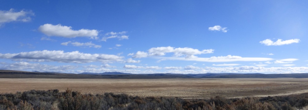
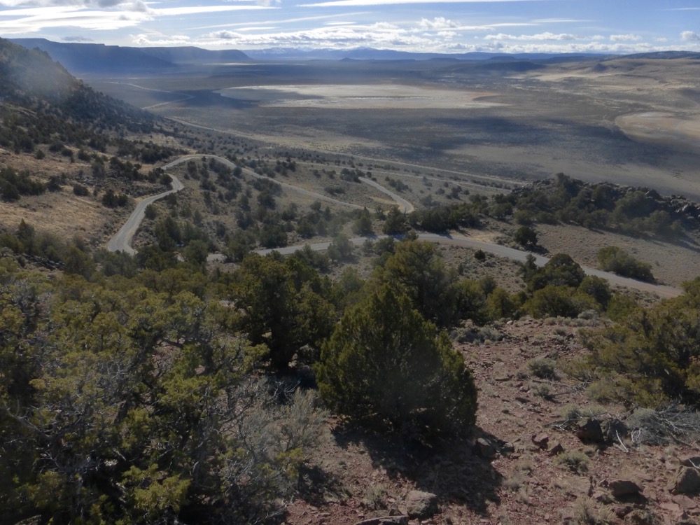
9:50; Hualapai, backside of the Granites, pavement’s end, Leadville Canyon and north into larger country where every yellow arrow was cause for celebration as the country opened out…and out…
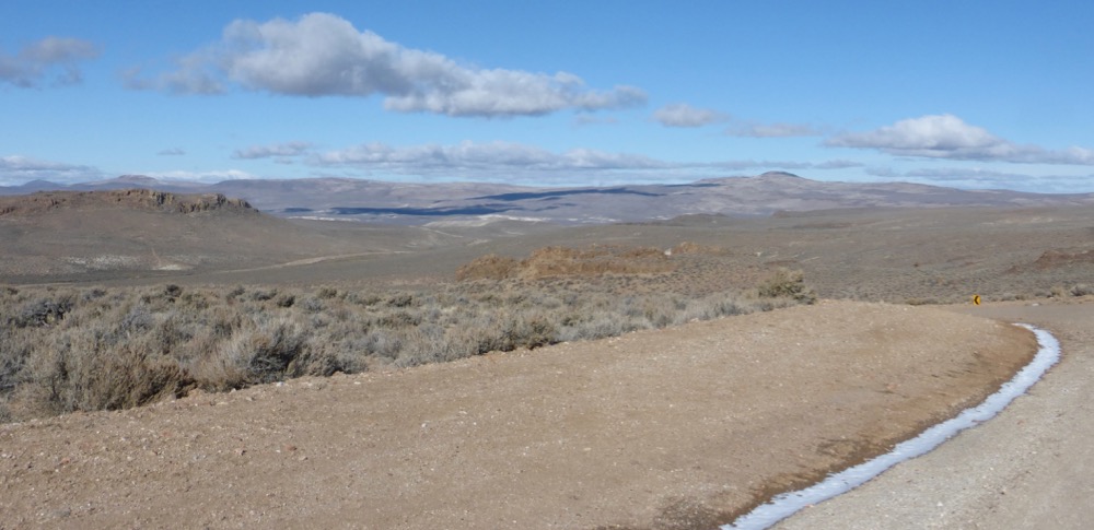
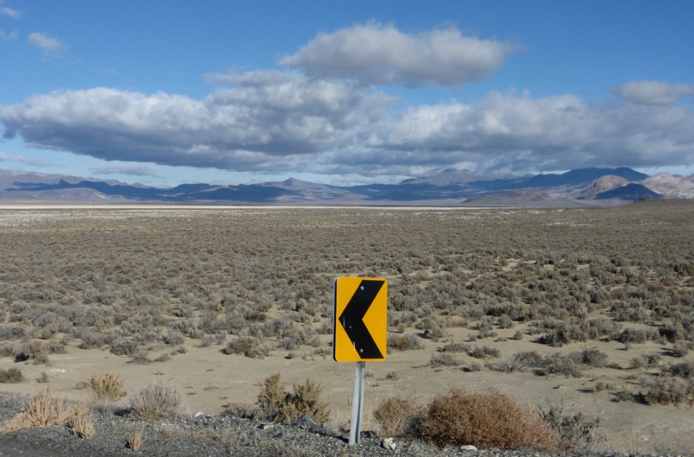
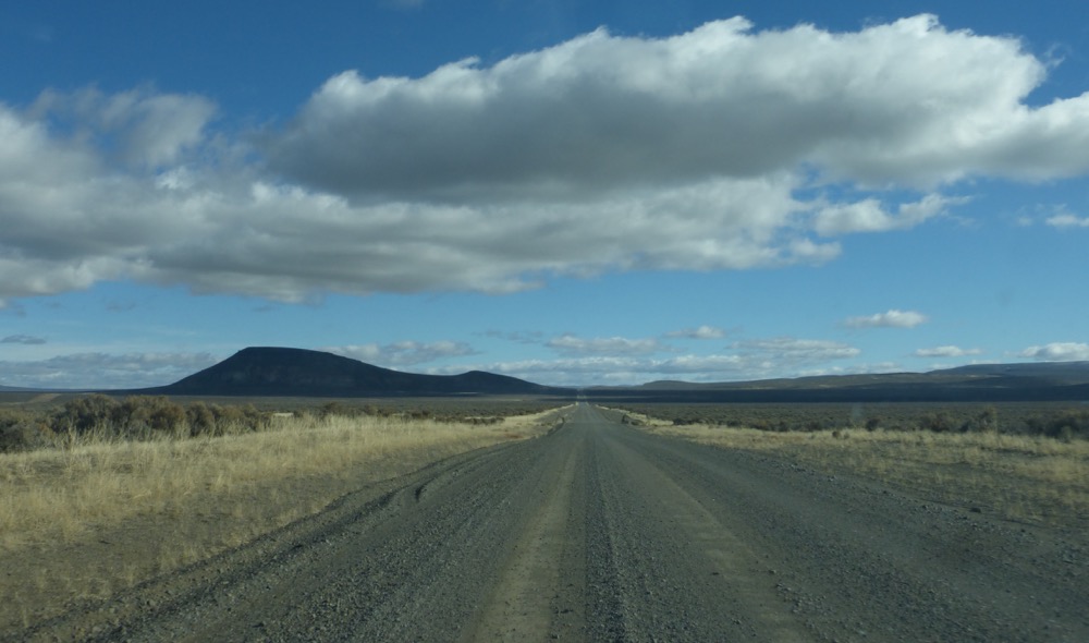
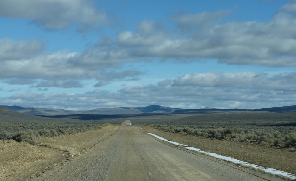
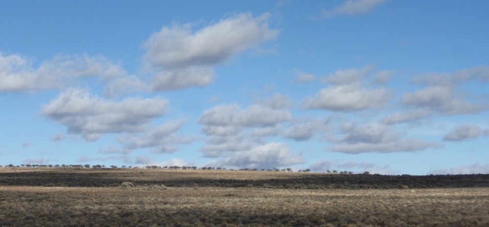
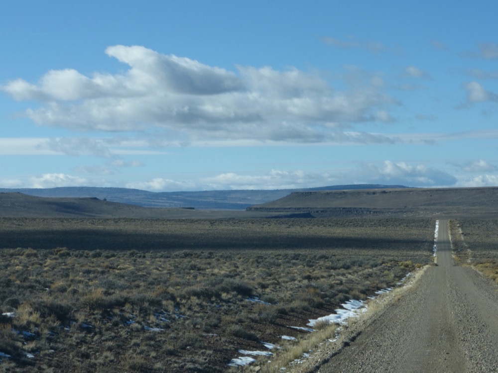
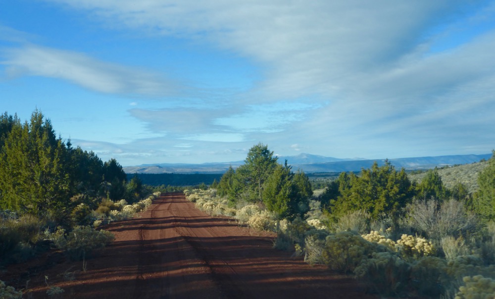
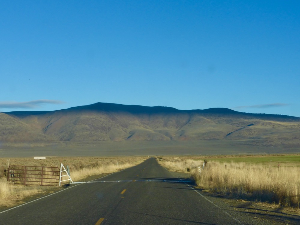
Aside from a lowboy stopped at Long Valley’s lower end the only humans encountered were two Mexicans low on gas with a trailer full of carport parts looking for Summer Lake. I couldn’t help but they were happy to learn there was fuel in Cedarville nineteen miles west. Their impression was that Summer Lake was seventy miles from somewhere and I later figured out it might be up in Oregon, seventy miles from Lakeview…but we were at the intersection of 34 and 8A in Washoe County, Nevada, and I turned east, crossing Long Valley and, on a day very different from last year’s slippery one with Kirk and Tom, towards the Sheldon Range, climbing gradually for some thirty of the forty-three miles to my turn…
[with few signs of man besides the road itself]
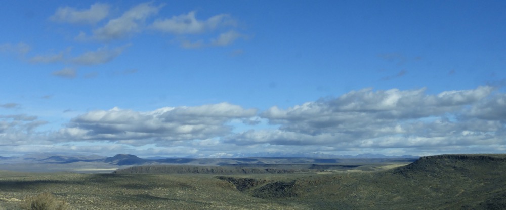
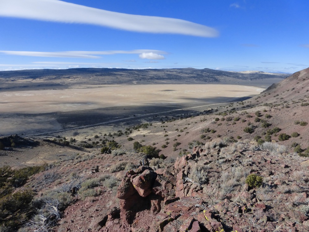
…then at last a steepish descent skirting Echo Canyon, where was parked a white van neither vintage nor new with luxe leather bucket seats and no one about save a bearded dude upslope among boulders and sagebrush contemplating the long [very long] view east beyond Big Springs Table to the Pueblos, Trout Creeks, Pine Forest Range, etc…
Good for him.
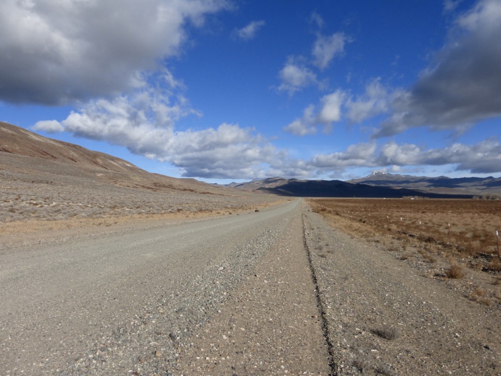
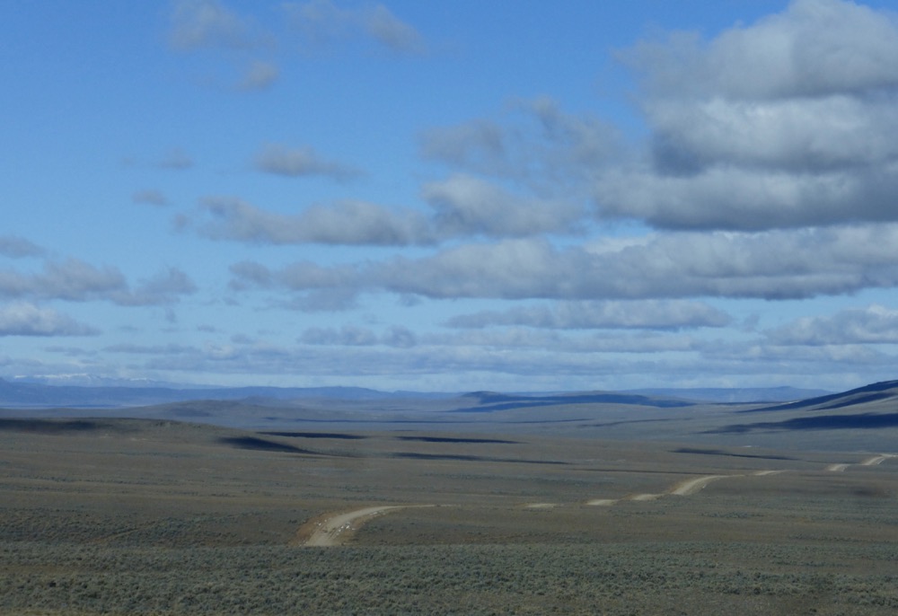
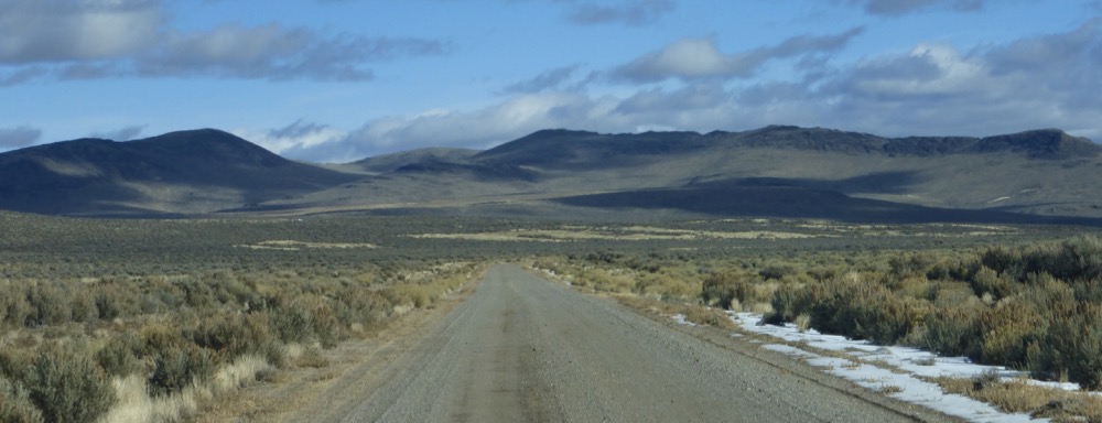
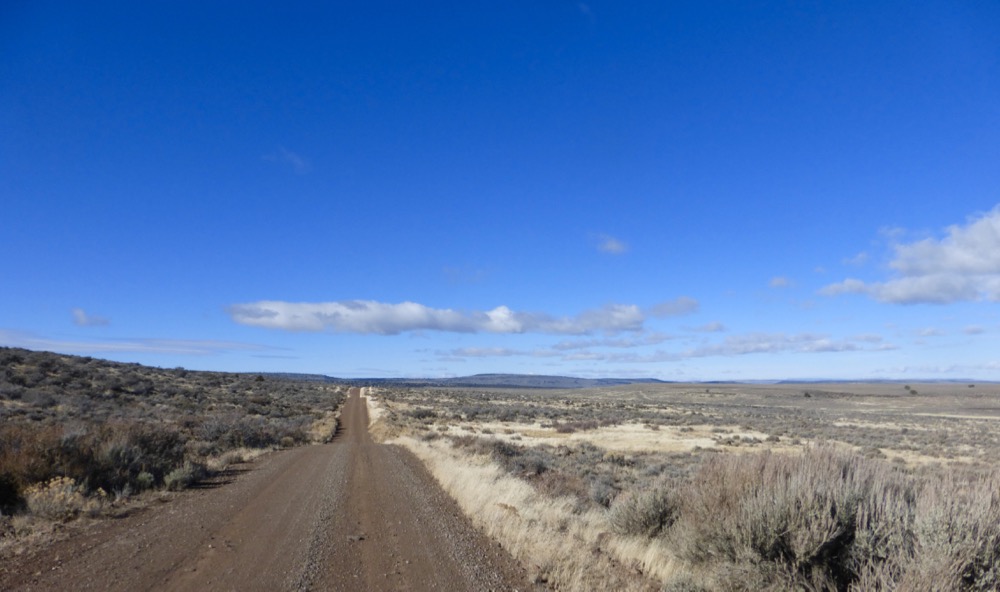
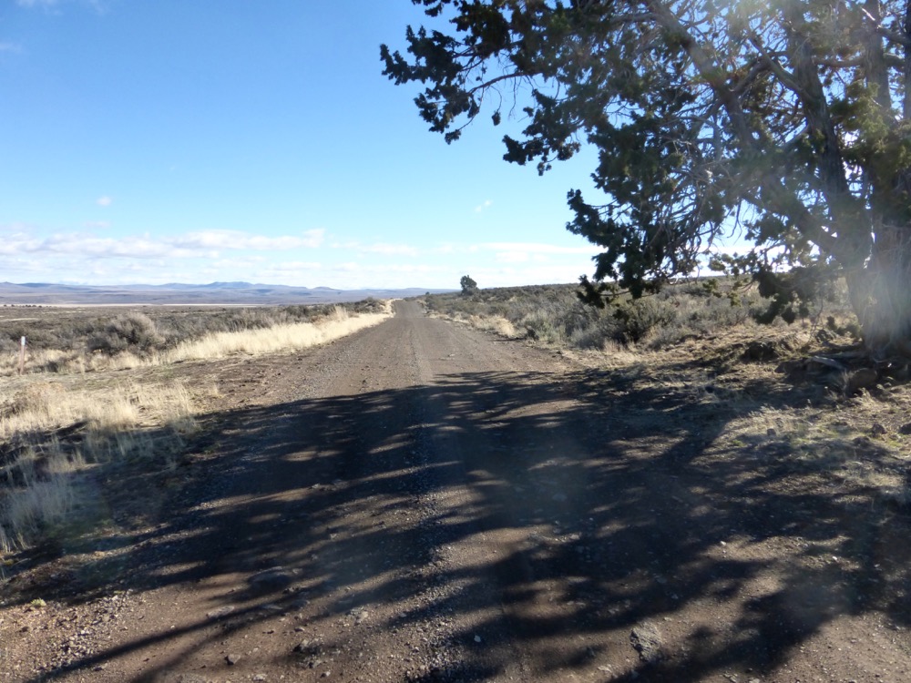
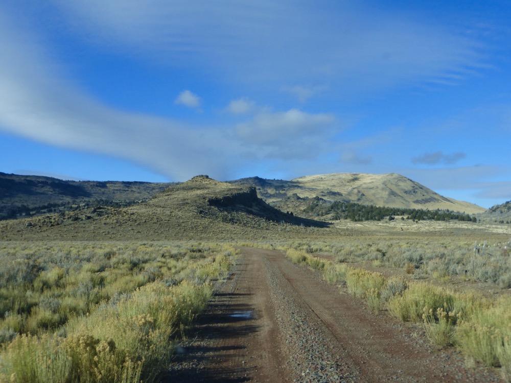
Down the road, past Gooch Springs [there are Gooches still; some work on the local road crew] and three hours since Gerlach, 34A came in at an oblique angle. I took the turn and climbed west; West Rock Camp, Catnip Reservoir…
Mule Mountain [not shown], Swan Lake [not wet];
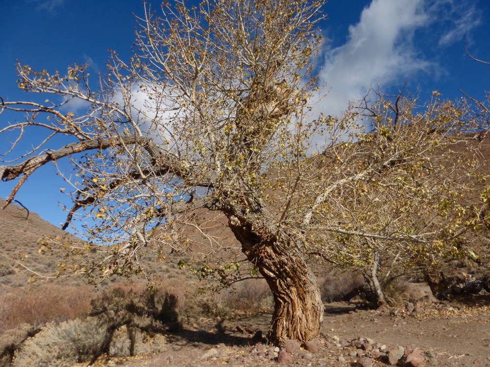
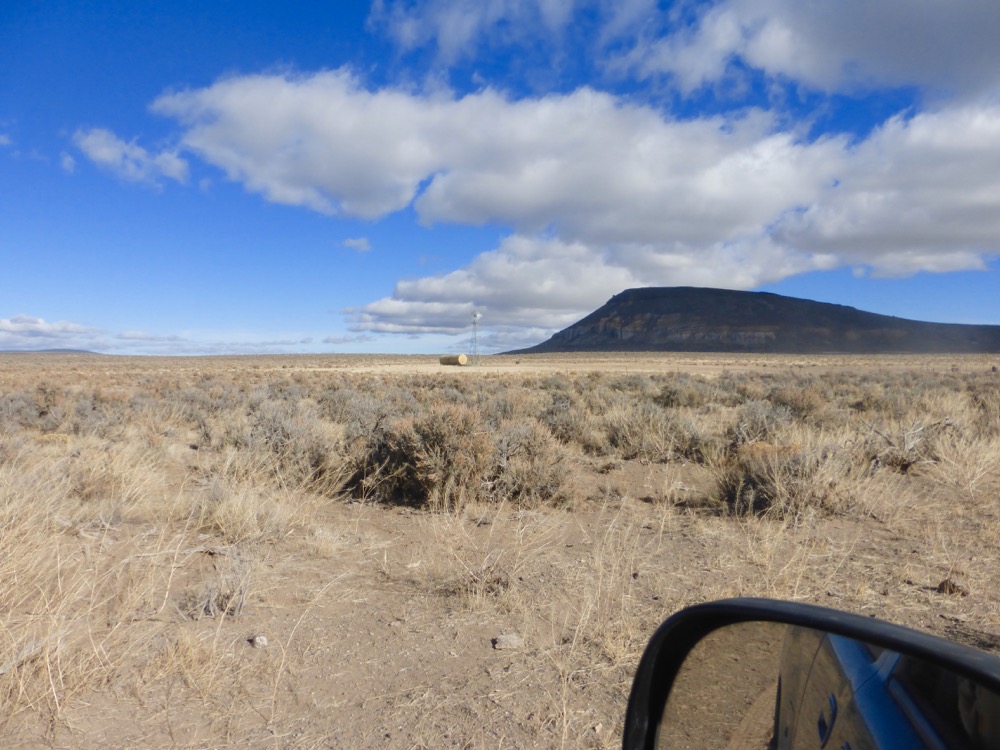
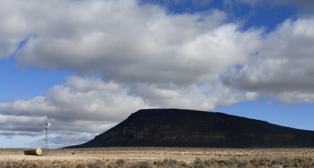
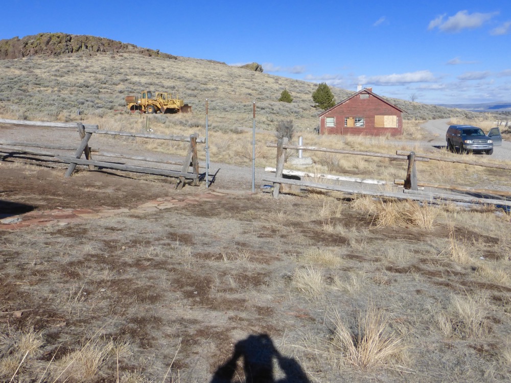
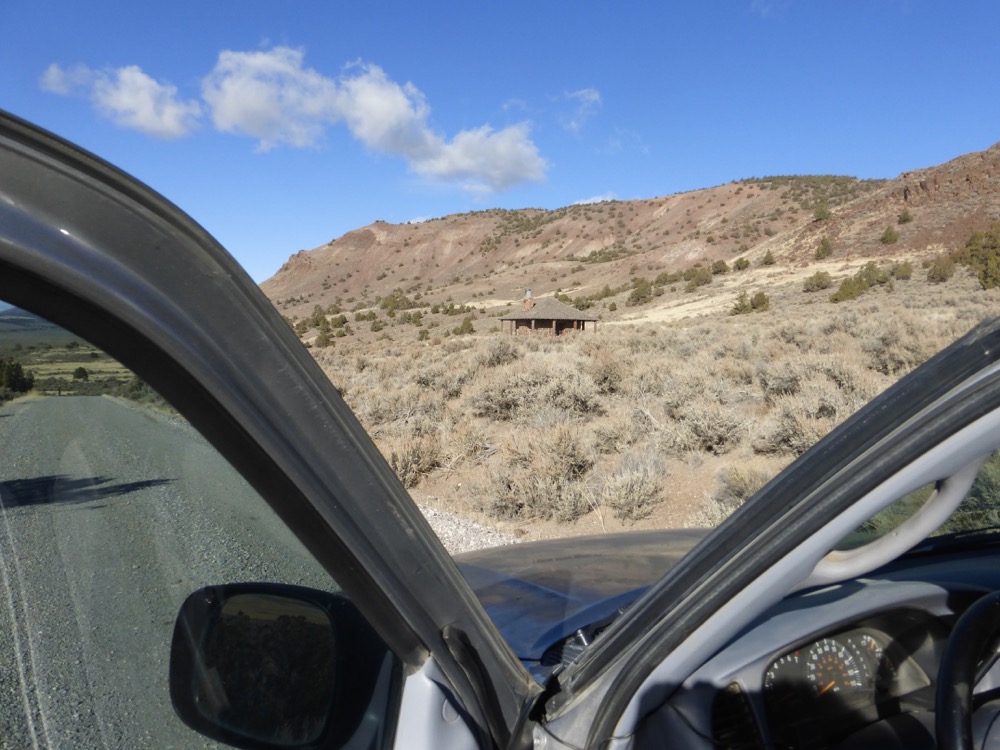
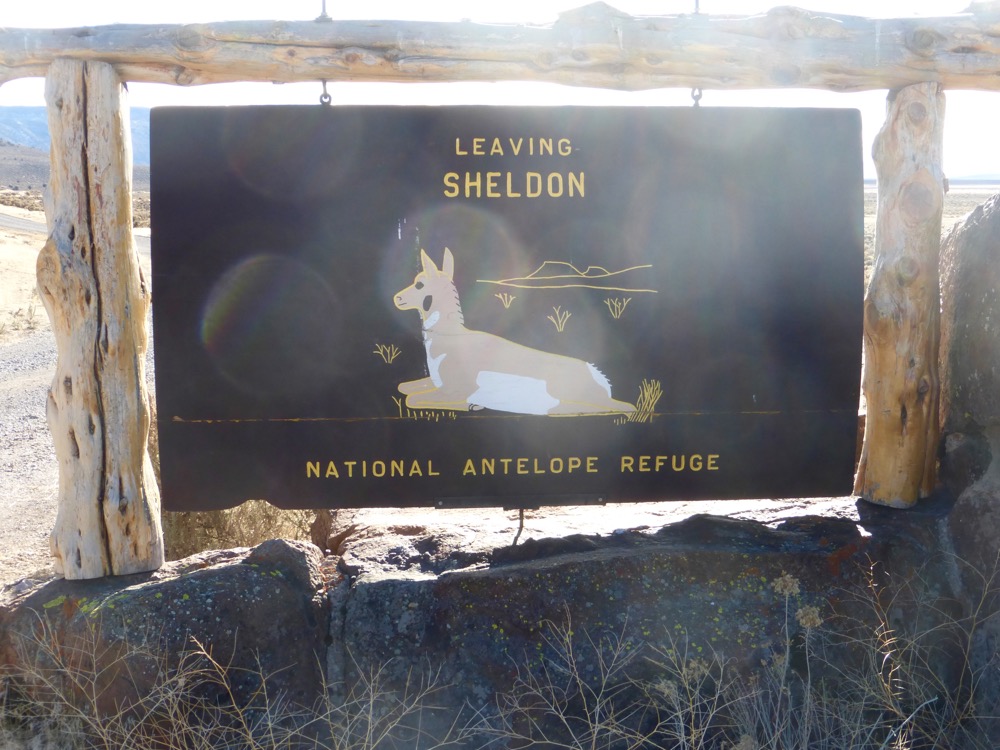
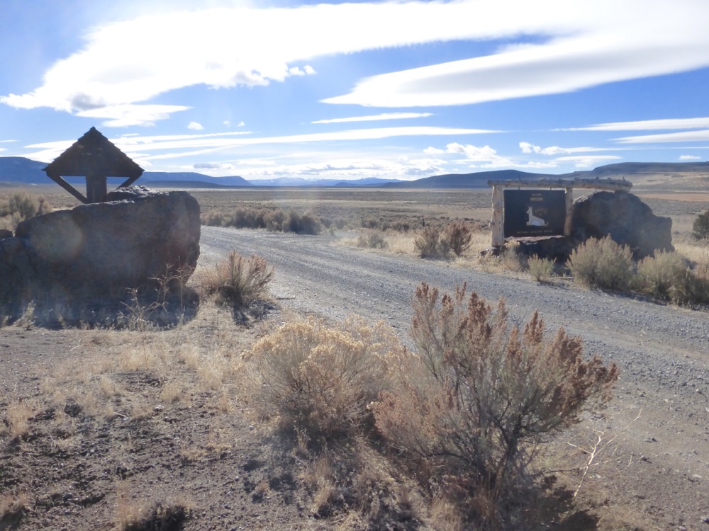
…until the old Hapgood Place [1885-1924[?]] aka “Last Chance Ranch”, first Sheldon Antelope Refuge Headquarters [1924 – 1935] and still preserved, its possibly sad history undocumented or contradictory, even the dates. Lunch [salsa and avocado on flatbread, cheese; no coffee] and exploration;
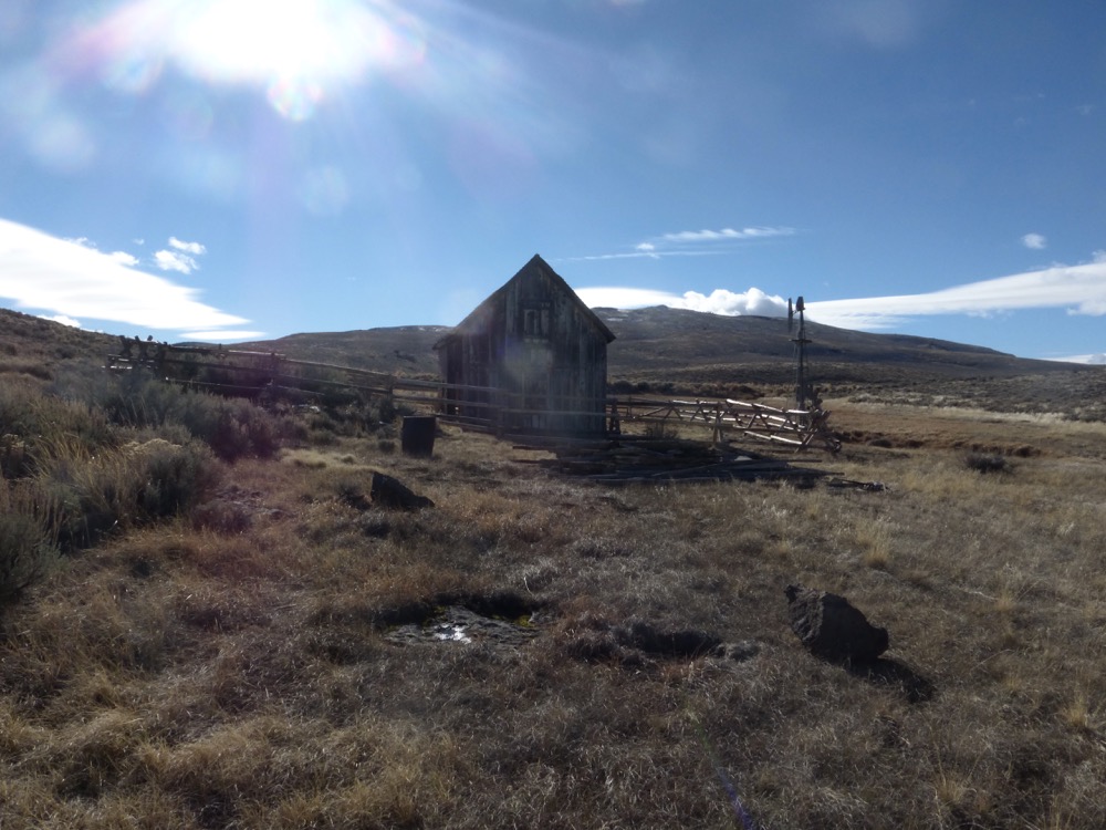
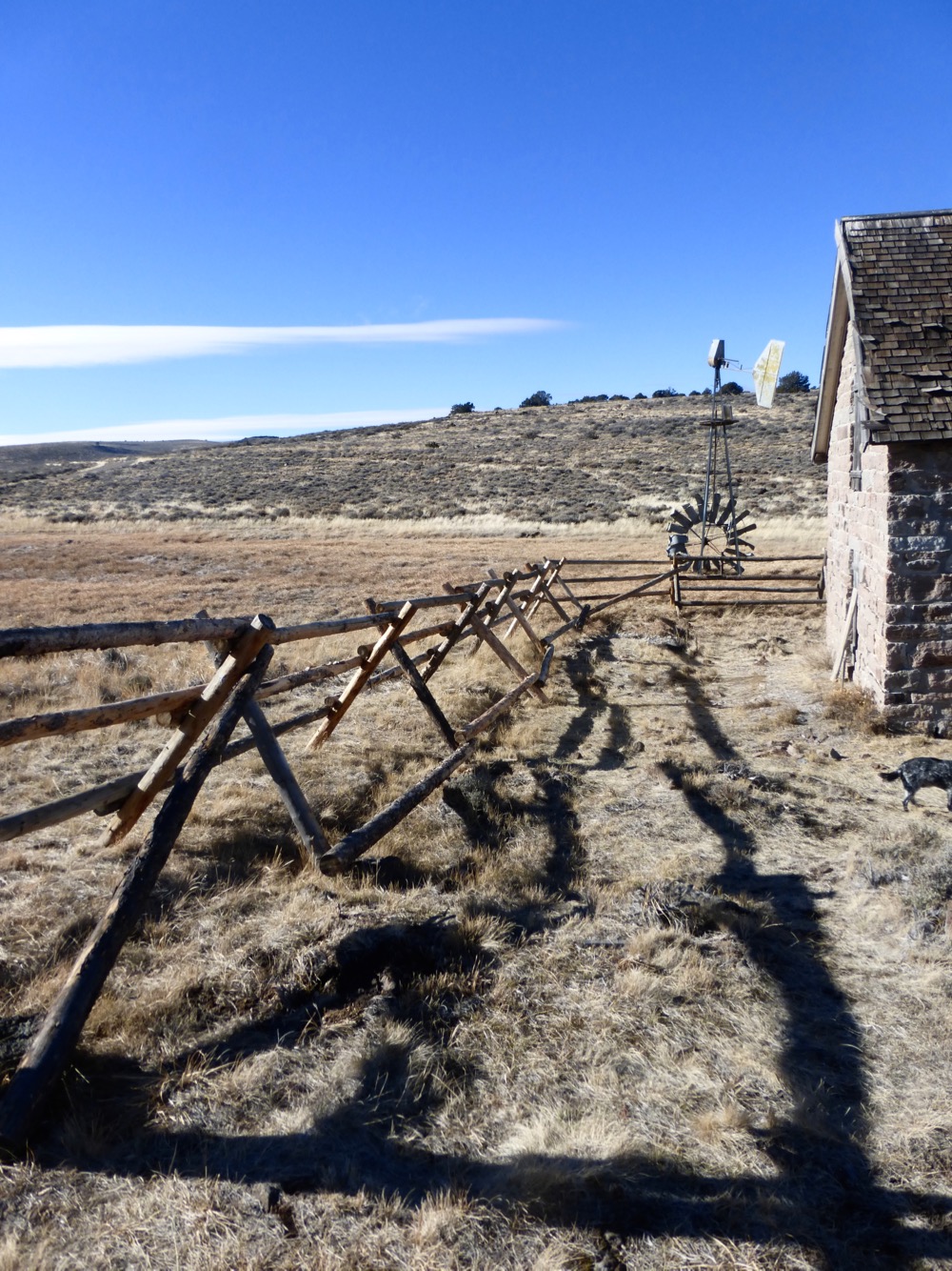
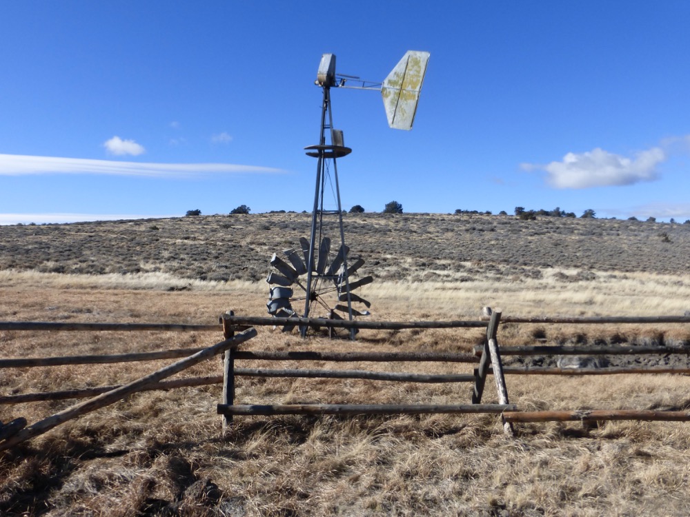
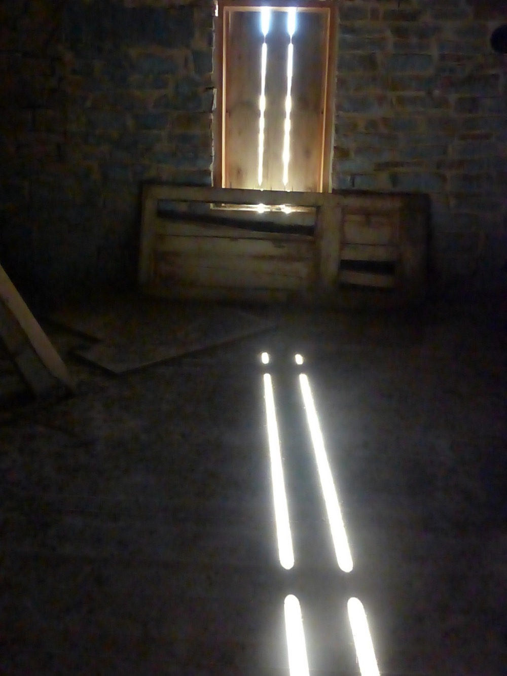
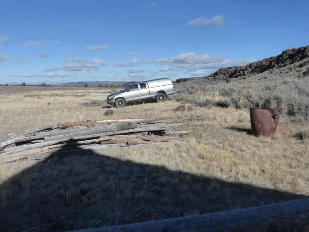
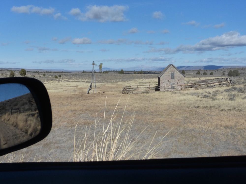
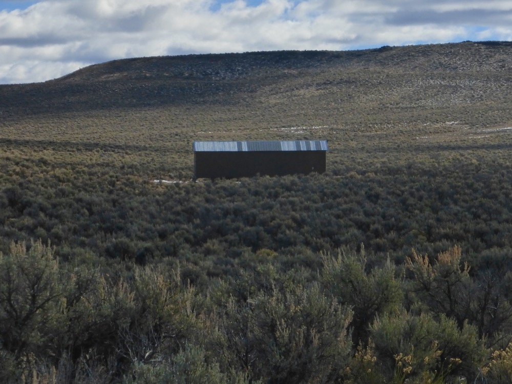
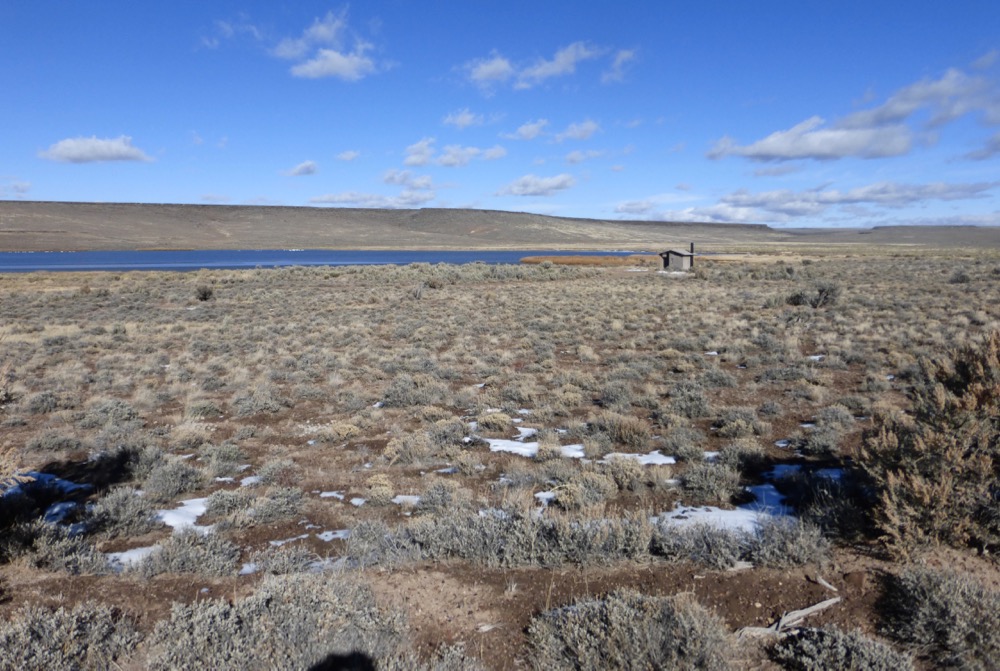
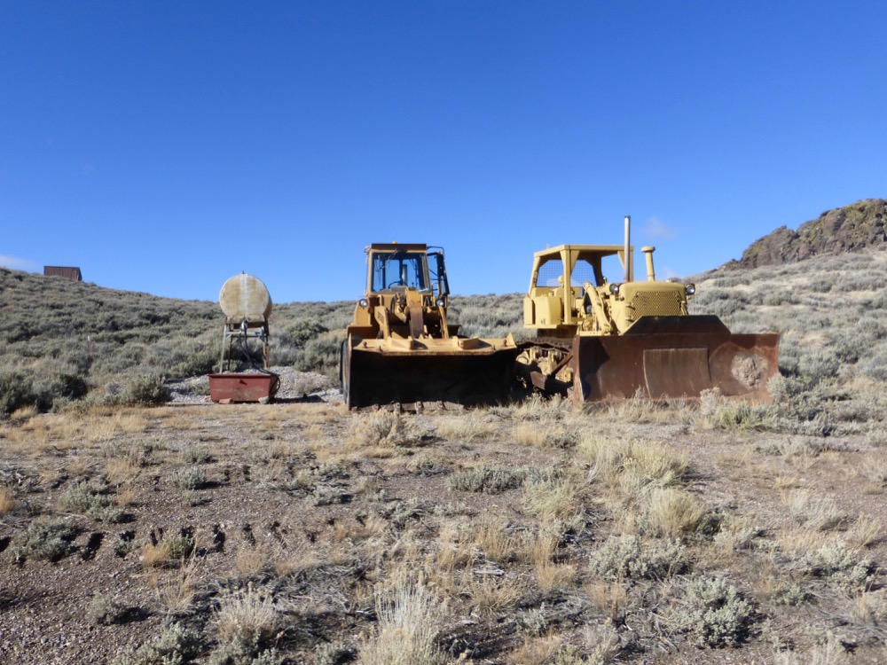
We continued not much further to the [sort of] current Refuge Headquarters; a substantial stone bungalow built by the CCC in, the cornerstone sez, 1934, rundown garage/shop, small outbuildings and a couple of bulldozers…well, bulldozer and loader.
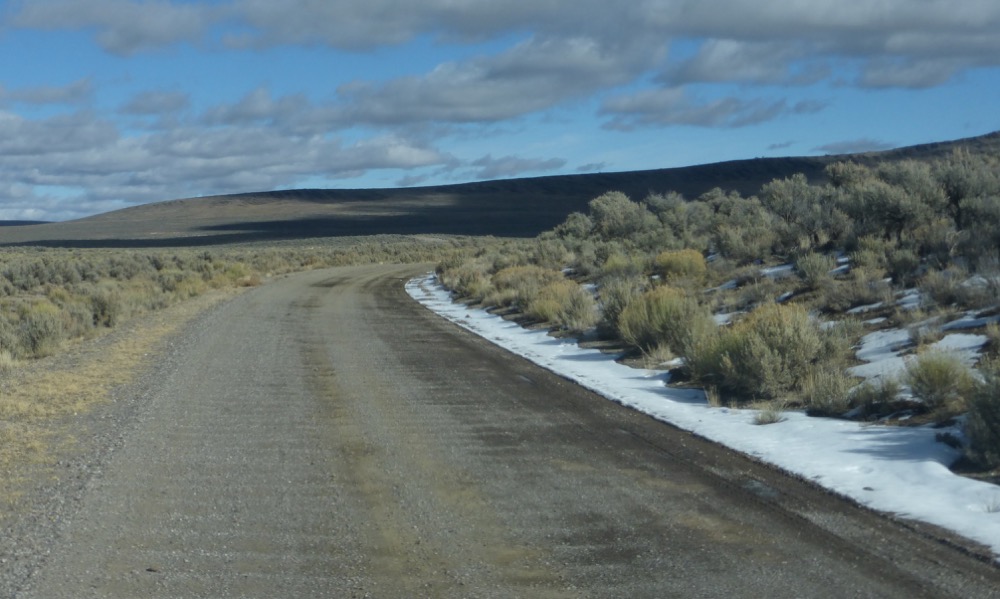
Everything looking a little forlorn; after that it was a quick run up Bald Mountain, the steep descent to another CCC monument at the Calcutta Lake entry and 34 south into the upper reaches of Long Valley;
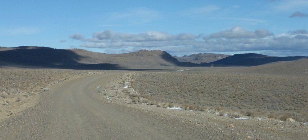
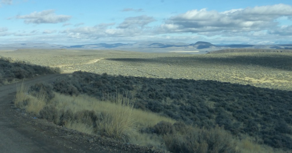
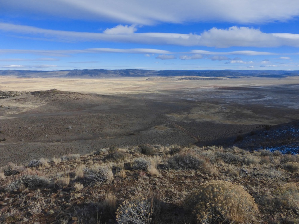
…where I decided on an extra forty mile detour to investigate the Barrel Springs road to Fort Bidwell, which proved quite intriguing;
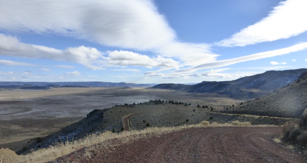
Turning north a big Dodge hauling a horsetrailer blew by me, southbound, only to turn up northbound as I was heading south between Fort Bidwell and Lake City, the switchbacks to Barrel Springs [and the red mud on the other side] being inhospitable, one guessed. In 1984 I’d camped on the overlook, bringing Bryan back from summer camp, while waiting to move in to Beulah Street…in another lifetime.
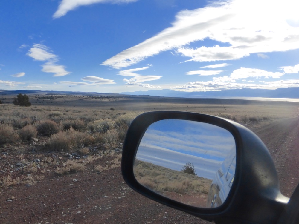
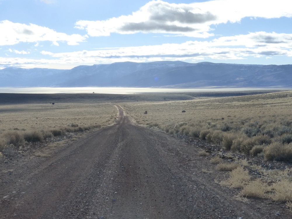
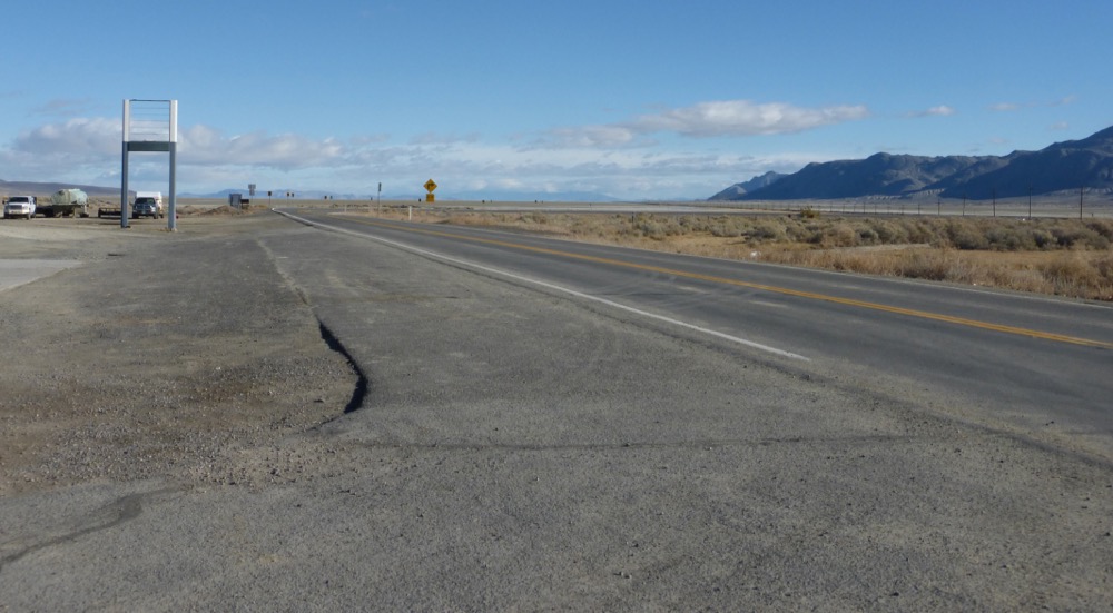
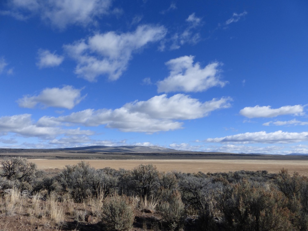
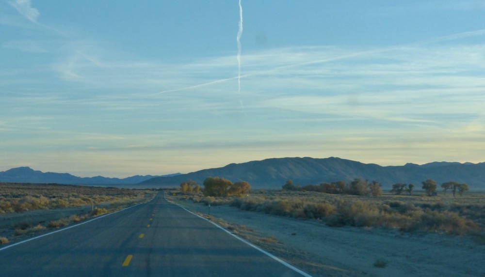
So down to Upper Lake, Cedarville gas and that long longed-for cup of coffee, mistakenly purchased [for fifty cents!] at Rabbit Traxx, where they seem to make it with antifreeze, mysteriously vile and, even for such as me, undrinkable…a serious disappointment. Here’s 299 East, heading for Nevada and…pavement’s end. I continued south and out the bottom end of Surprise Valley…
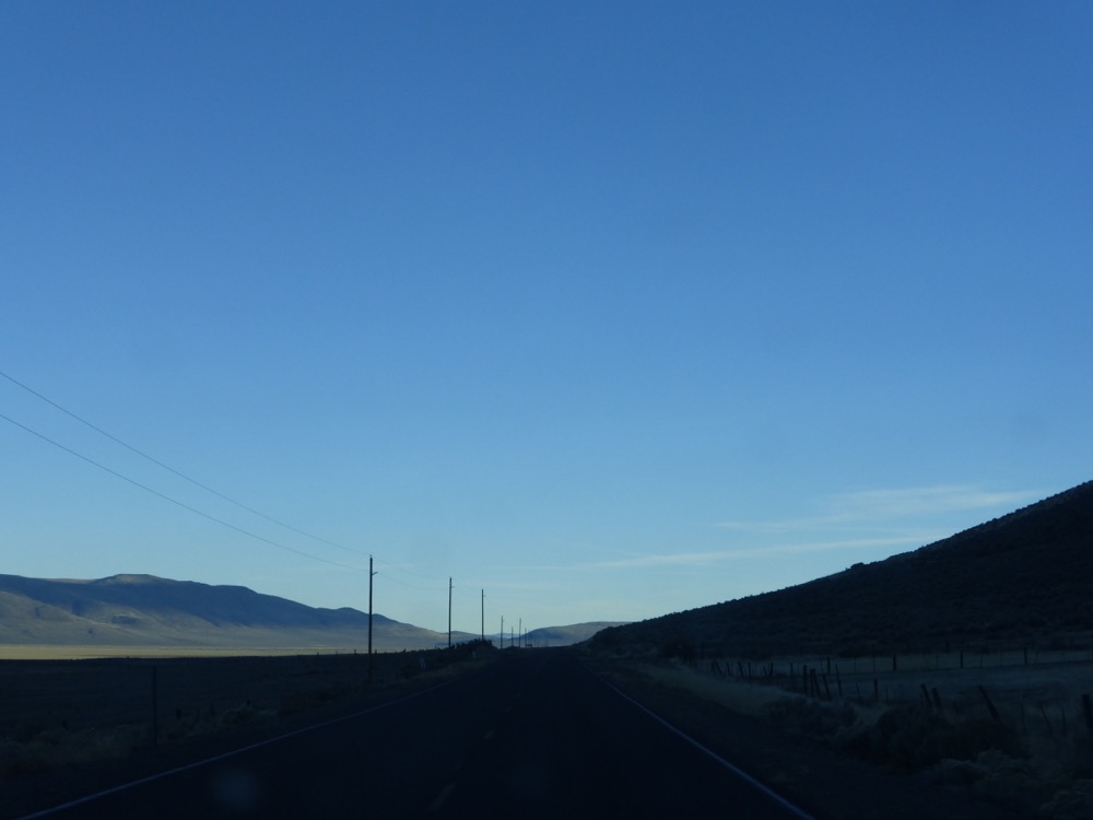
The road home, all paved to the turn, was pretty much empty, as might have been foreseen;
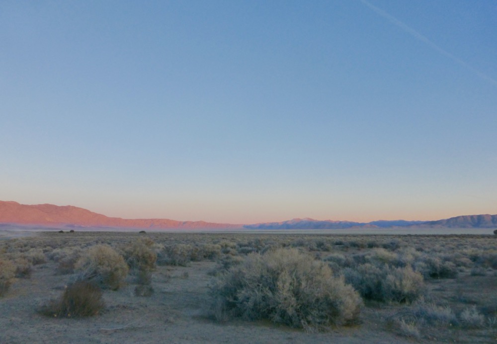
I made it to the gate around 4:40, finding my UPS package dumped at the gatepost. Substitute driver; the regular guys come later, and come in to visit…
350 miles, out enjoying the country yet again…
M
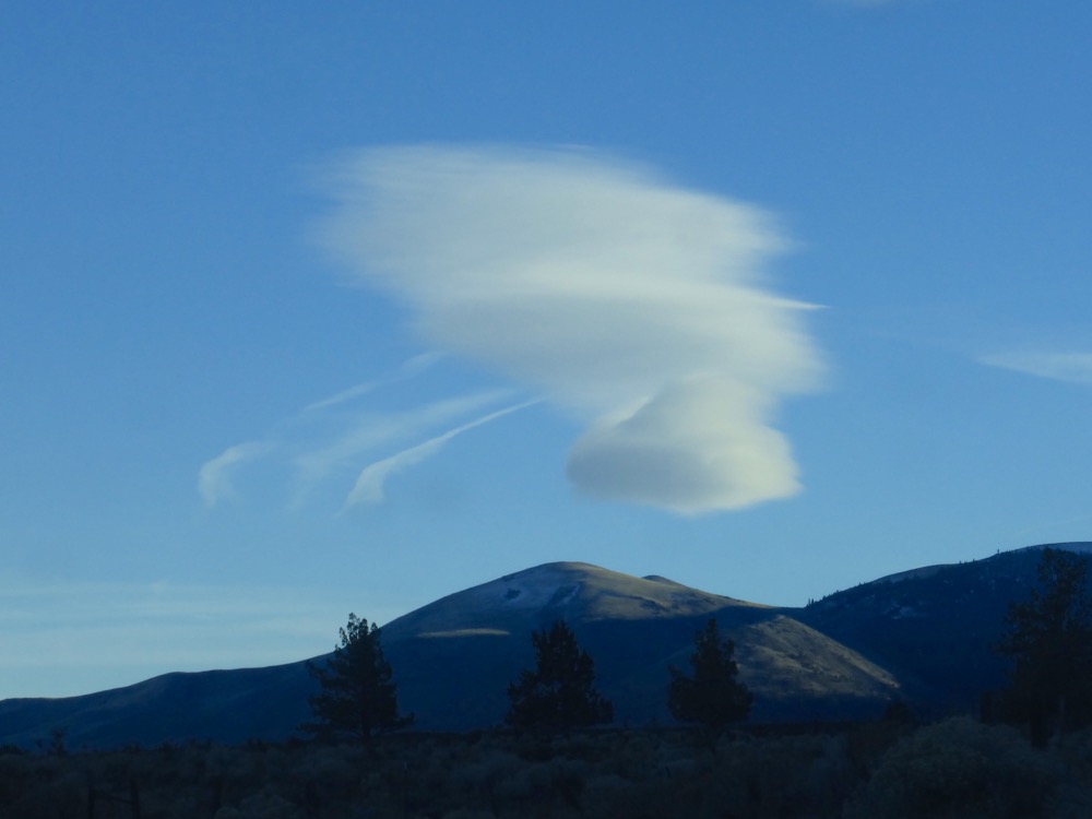
Wow! 350 miles of antidote; amazing! Piercing blue skies, low-angled light , clean, pristine and pretty-much untouched. Forgotten coffee easily trumped by November morning light; good choice.
Thx.
Publish all the endless vistas of endless roads you want! Fie on the bored haters. They are missing the beauty of each frame, the earth and sky in constant tension.
Well that was actually more of a facetious statement…I figure anyone bored with those kind of pics is long gone from this already, right?
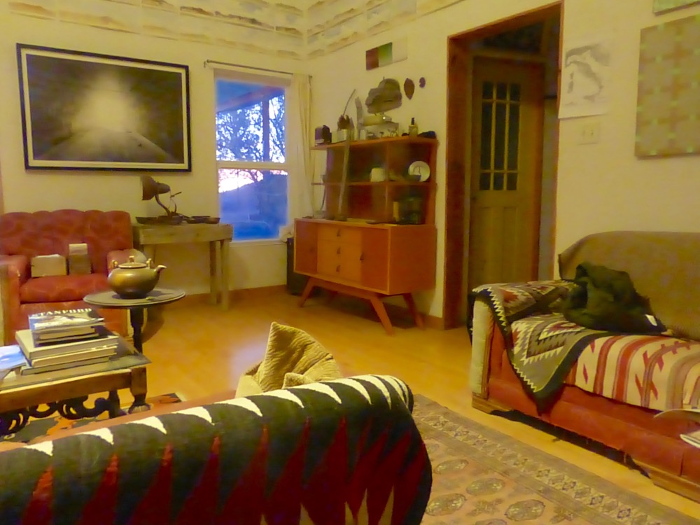
with an actual STONE house, how unusual
well I’m also fine with endless roads, miss ’em
Actually, given the country, any house is unusual but, given what the country’s made of, stone houses are pretty common…
just lovely.
Love your road trips…post as much gravel, sage, white line, or no line as you can. I always think of Llyn Ffoulkes with those chevrons and cows. Where are the cows now???
http://www.llynfoulkesfilm.com/
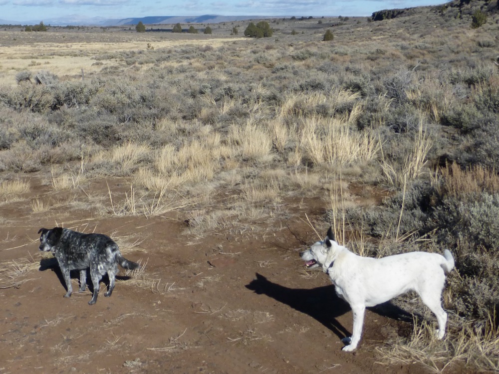
Alas, the Foulkes trailer won’t load; maybe when I get to a more reliable ‘net. And the BLM [with a lot of prodding from Jon Marvel’s Western Watersheds Project] got the last “cows off the land” around 1987…for some reason most of the antelope disappeared around then as well. Now it’s become a feral horse refuge, and you don’t see many of them around, either…
With advance notice, I’ll make you the best cup of coffee you can get in Cedarville. Watch out for the Rabbit Traxx coffee, esp. the flavored cappuchinos (sp?). which, in Mexico, on Isla Mujeres, early in the morning, sitting on a bench looking east toward Cuba, taste just fine, but in Cedarville will have you driving in circles while tattoos sprout spontaneously on your forearms and you find yourself wishing you had a gun. Didn’t get to Virgin Valley for a soak, Thousand Mile Gorge, Bog Hot? There’s a spot where you can pull off just before descending into the vastness from Thousand Mile Gorge and Denio, walk south toward rim of gorge, open country, but watch your step.
Didn’t continue east to Bog, Thousand Creek or any of those other lovely places including that rim, by which I imagine you mean somewhere around the place pictured last month [or more] in my quest for the Lost Apple Orchard of Jackson Creek [http://mikesmooreptgs.com/wordpress/?p=5167 …a bit past halfway down after the text beginning “the rim the site of many an overnight as well…”].
I was wondering where those tatoos were coming from…
Looks just like Turkey!
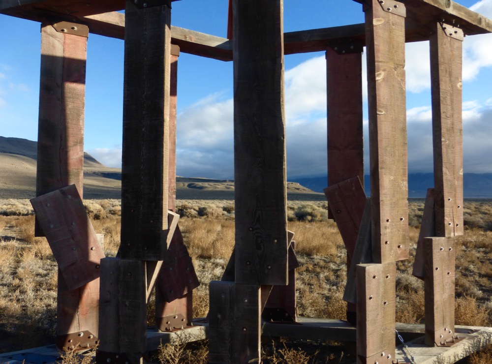
Pillars and all
Ah, but Linda built the pillars! Pillars of Hercules, as actually that’s what she called the sculpture [1988]…so, Turkey, too? I’d always thought Nevada was a bit like Afghanistan but much, much smaller…