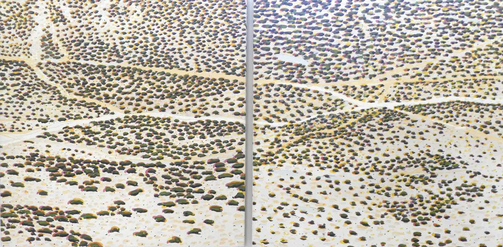
“Inadvertent Diptych”, NP2 and NP1 [Duferrena Rim], acrylic on canvas, 59×118″, 1978.
After staying home Tuesday to recuperate I decided to take the long-postponed drive up to
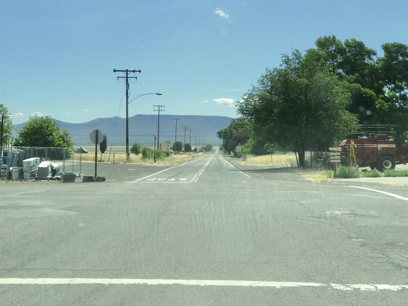
Cedarville and east on 299 which still ends, along with the pavement, at the Nevada line.
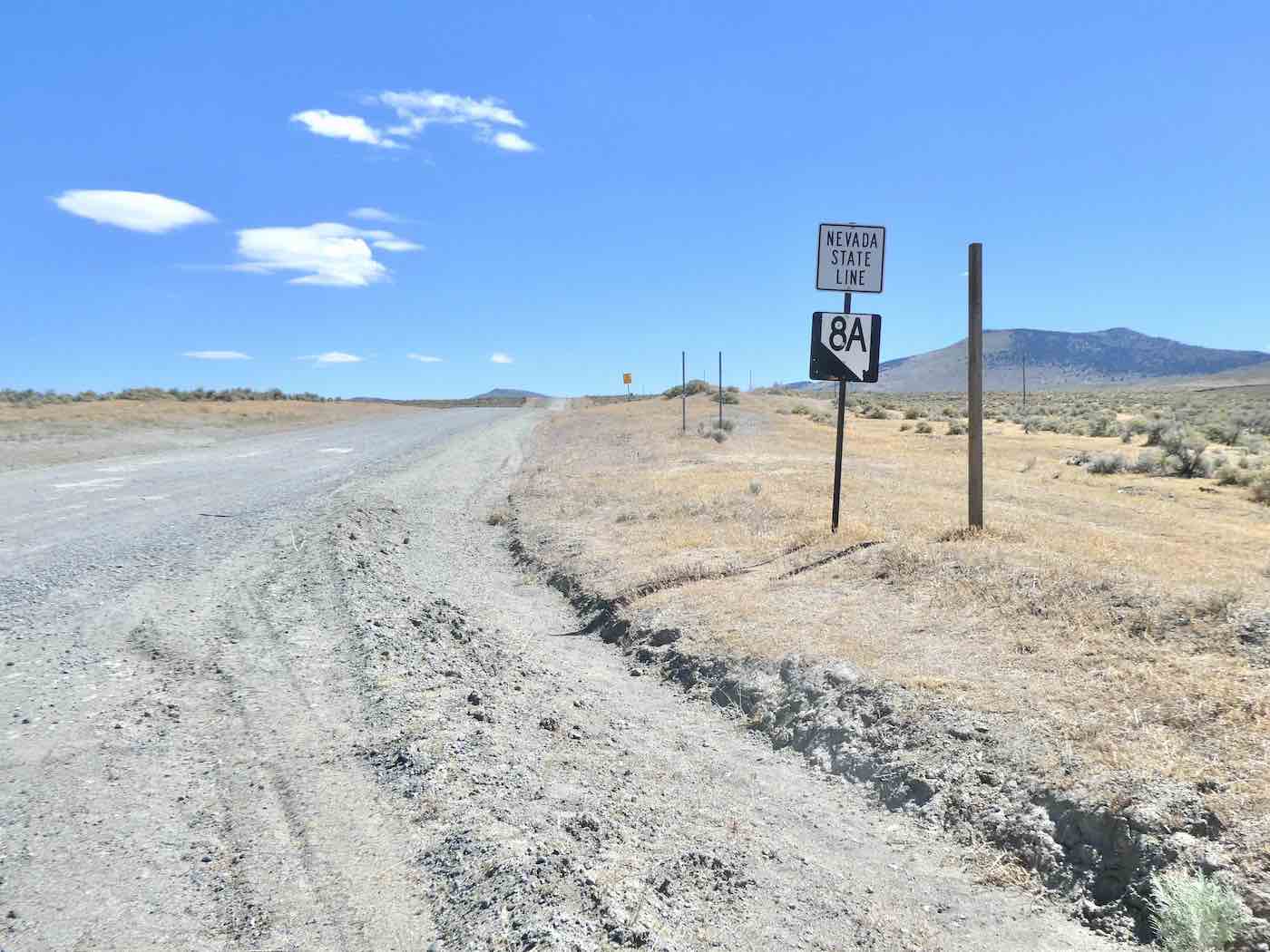
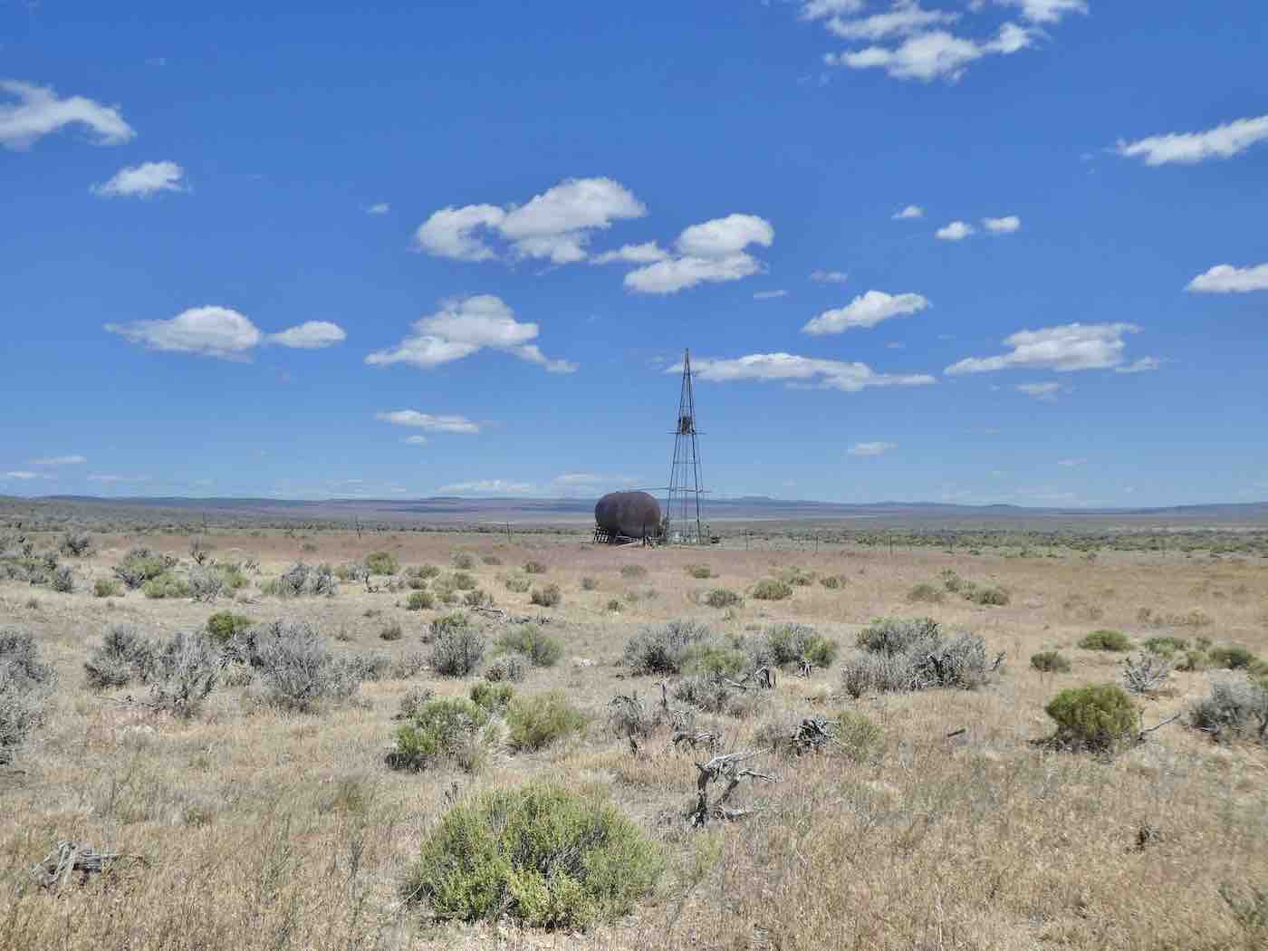
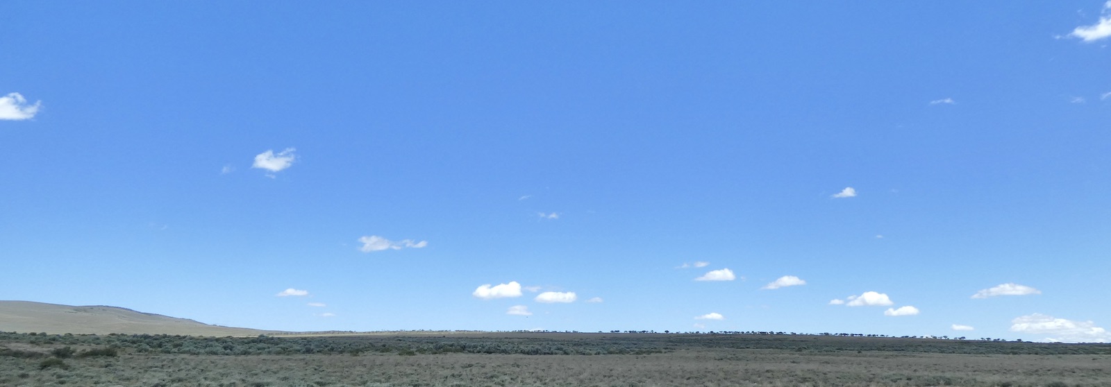
From there one takes 8A all the way, with occasional evidences of Industry,
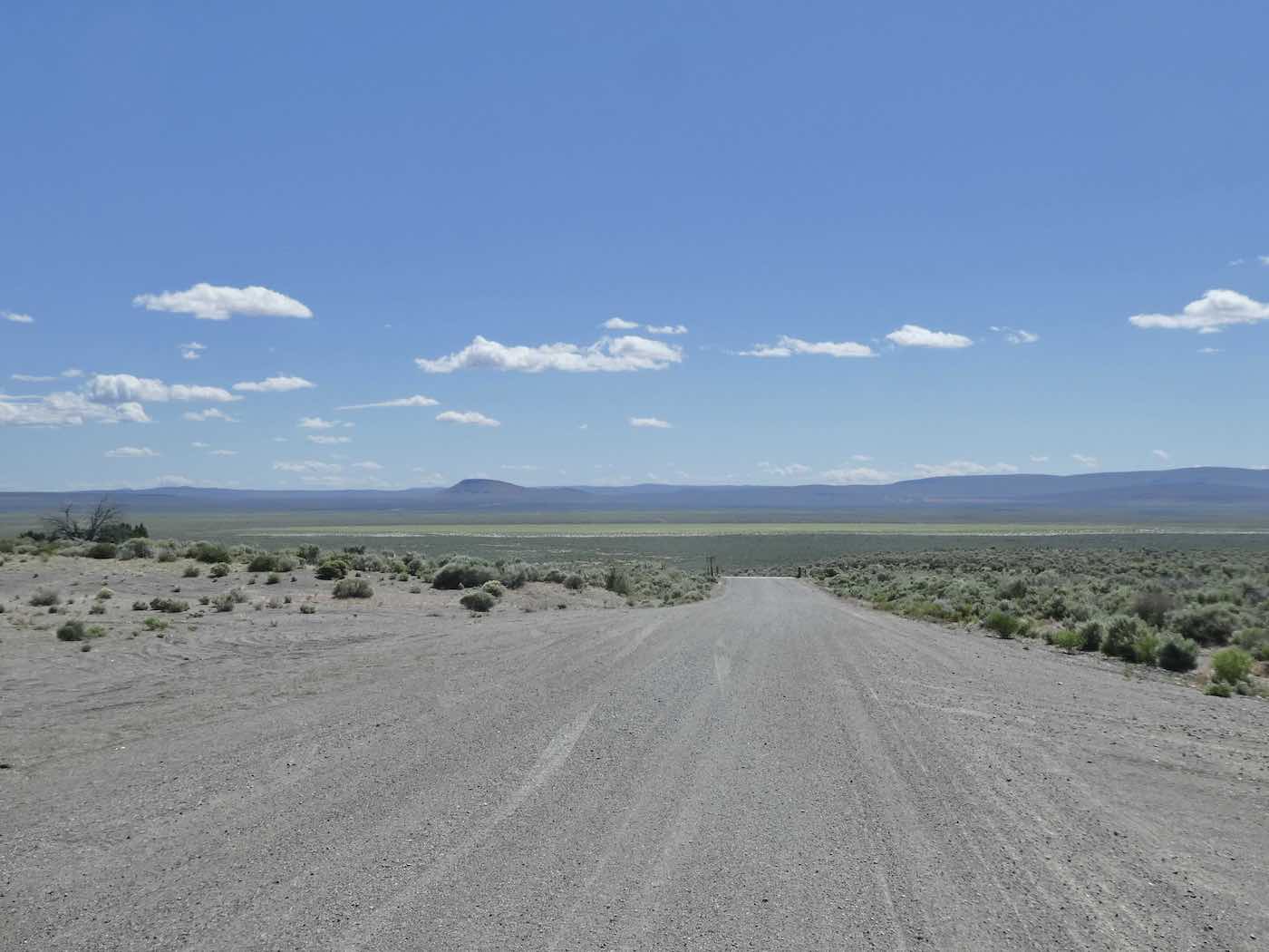
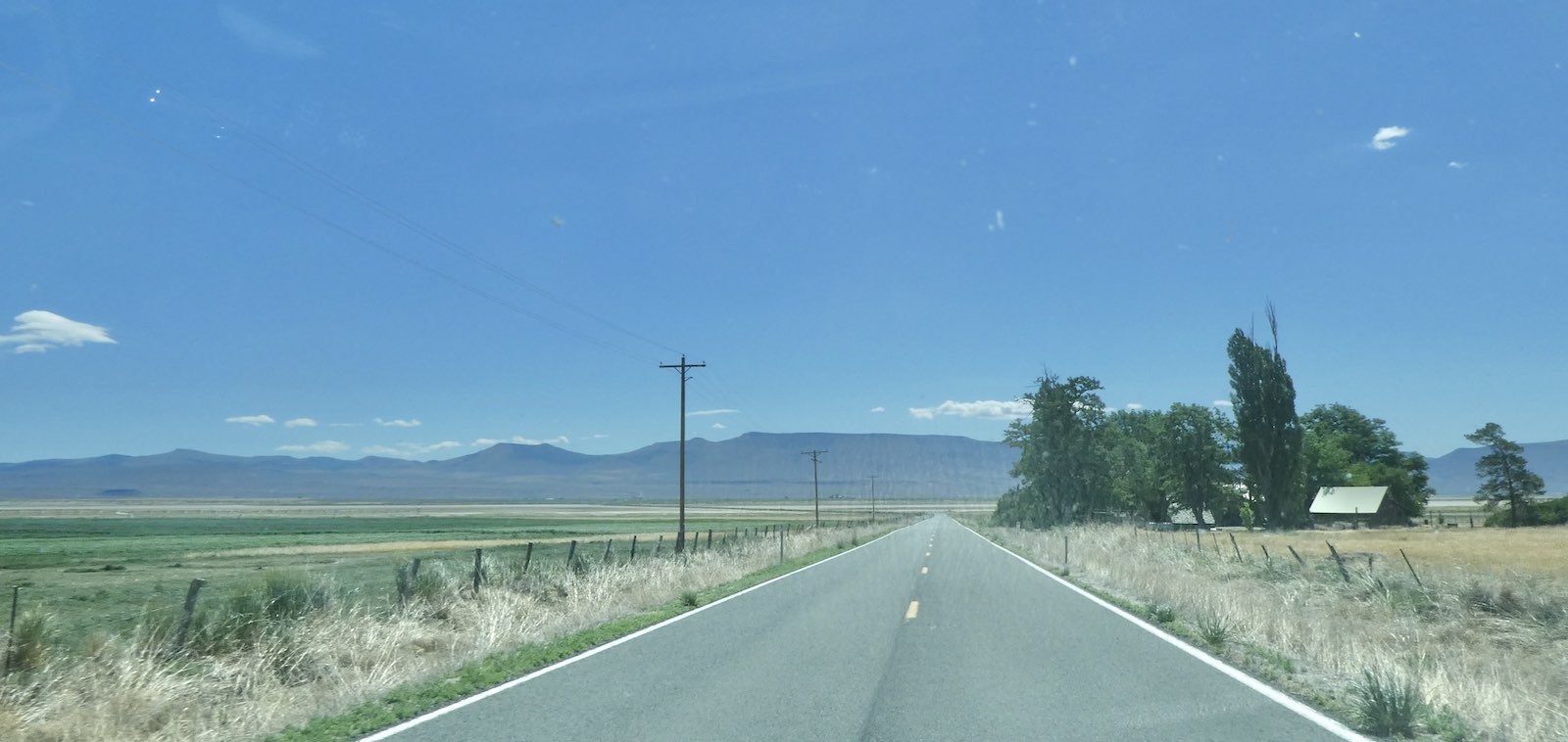
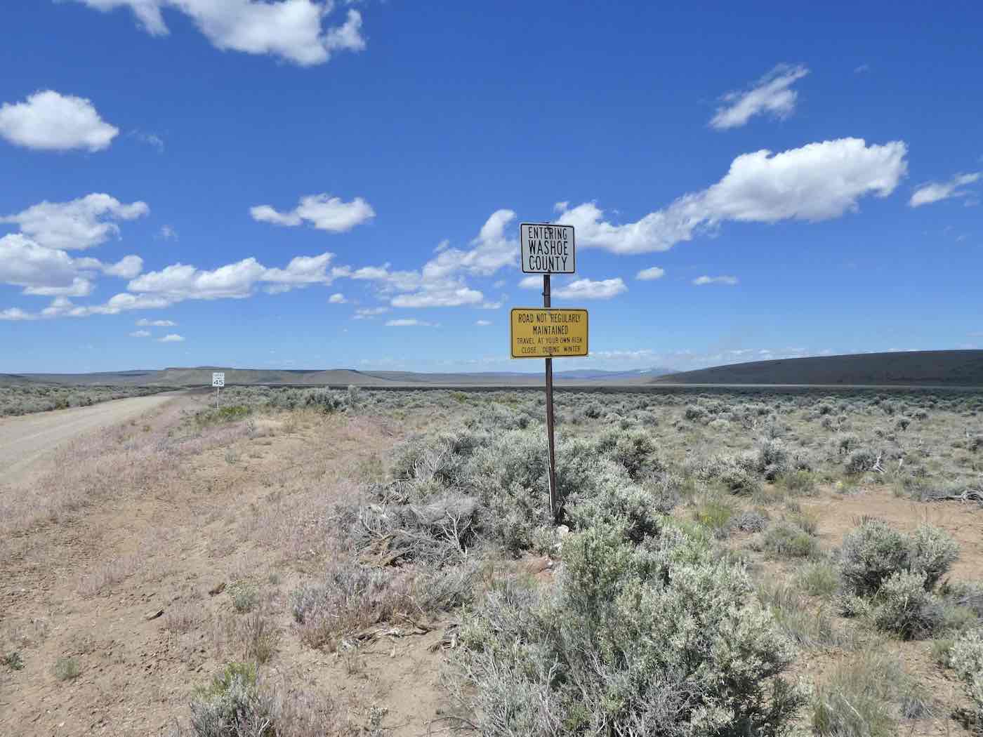
across Long Valley and the entirety of northern Washoe County
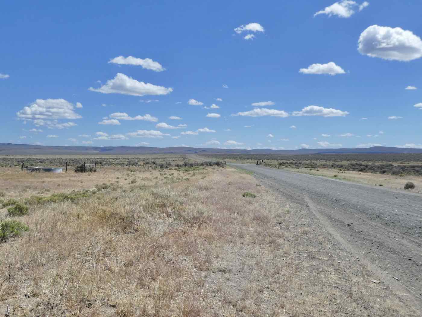
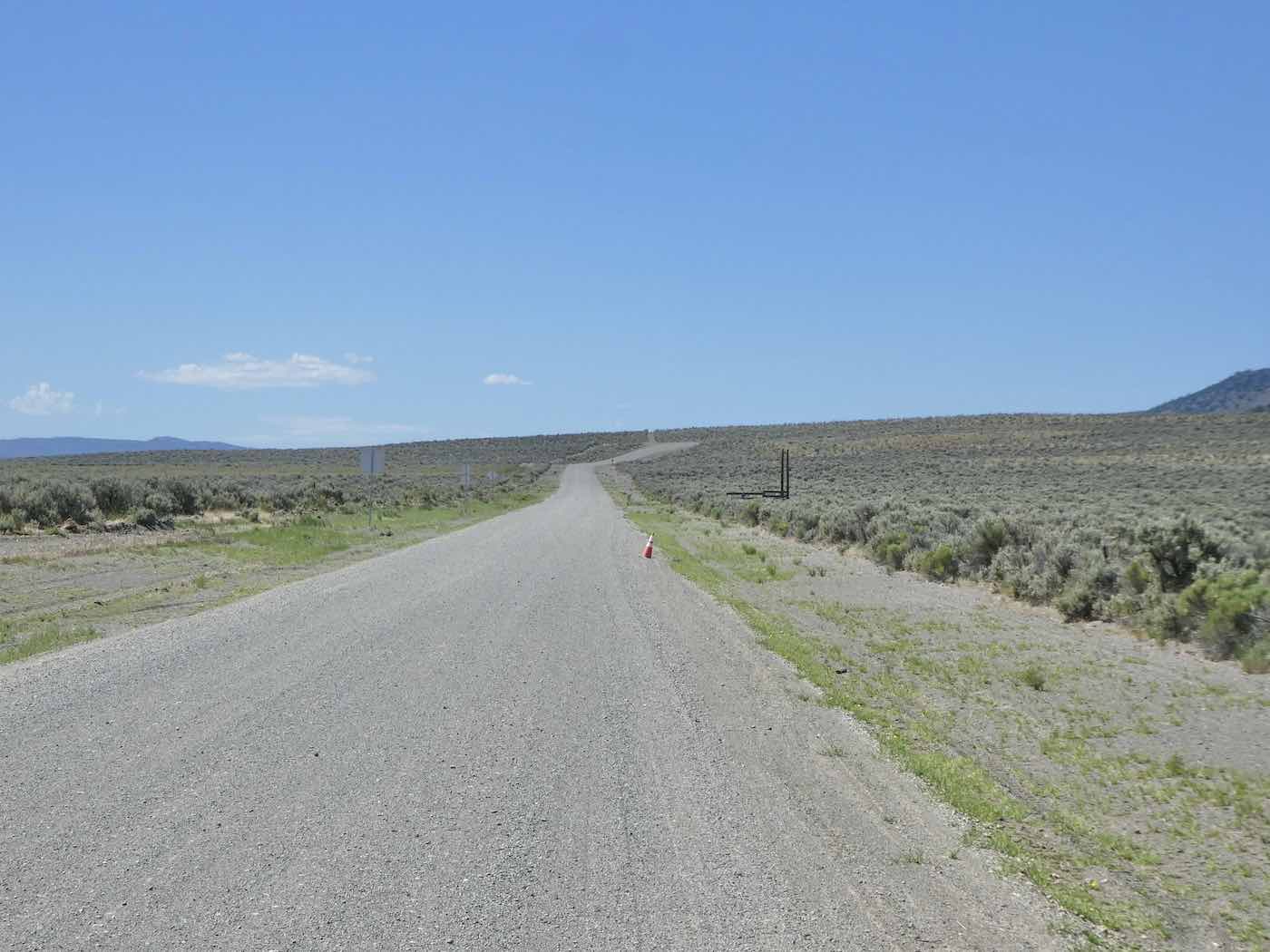
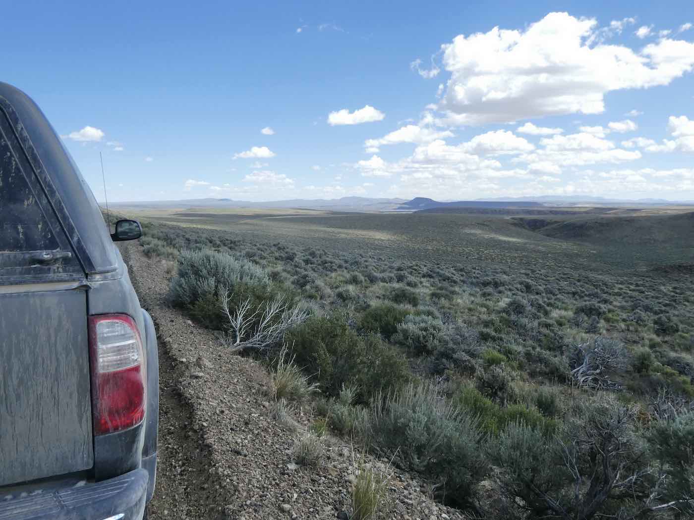
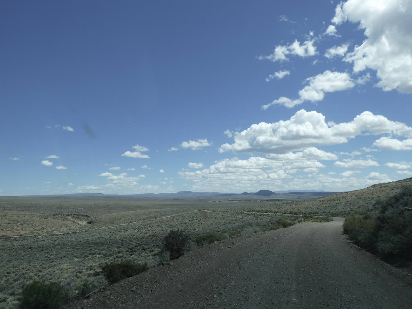
on a wonderfully unpopulated road until Humboldt County, after which it’s still a way fun drive although tighter turns and the looser obsidian-spiked gravel make maneuvering a little more
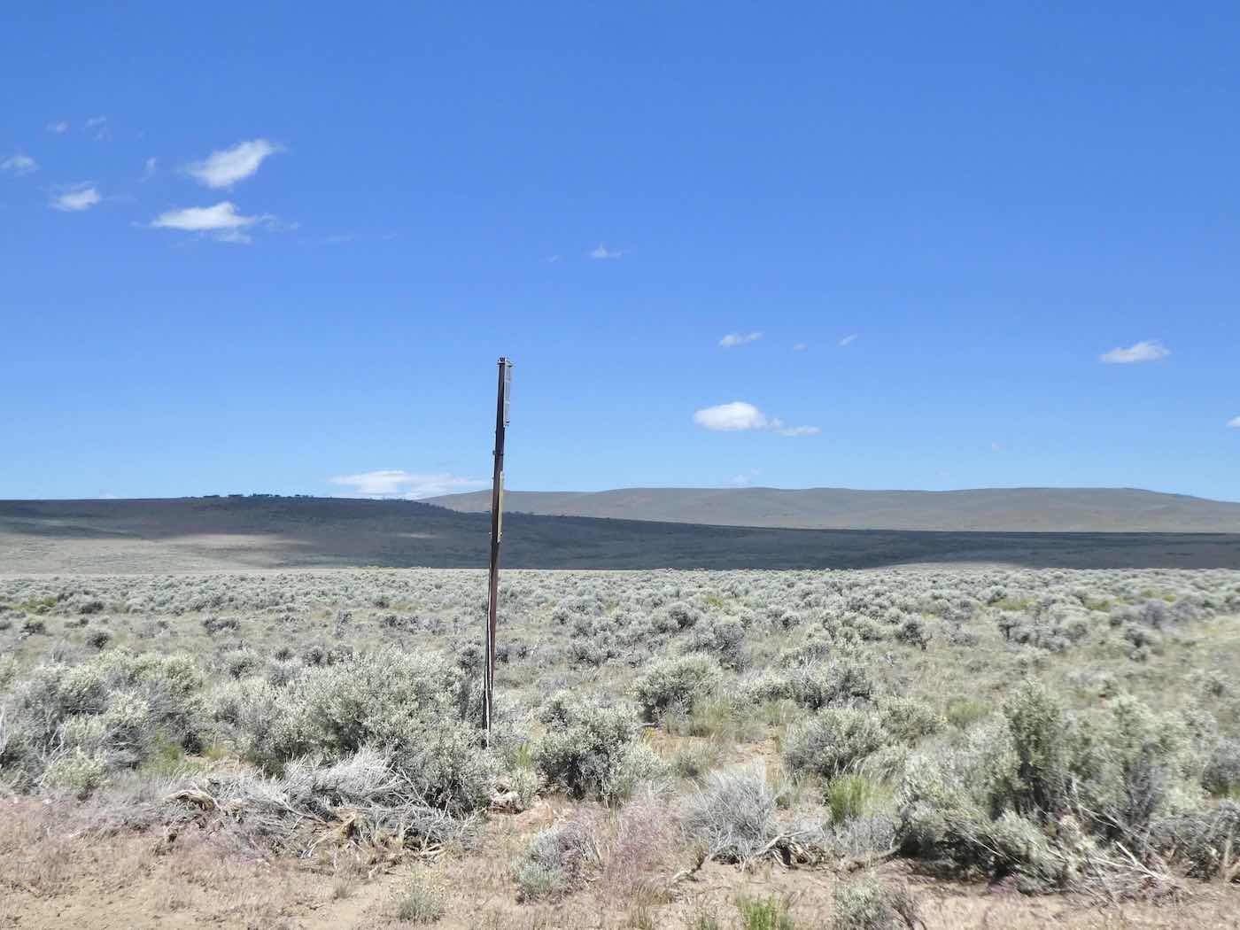
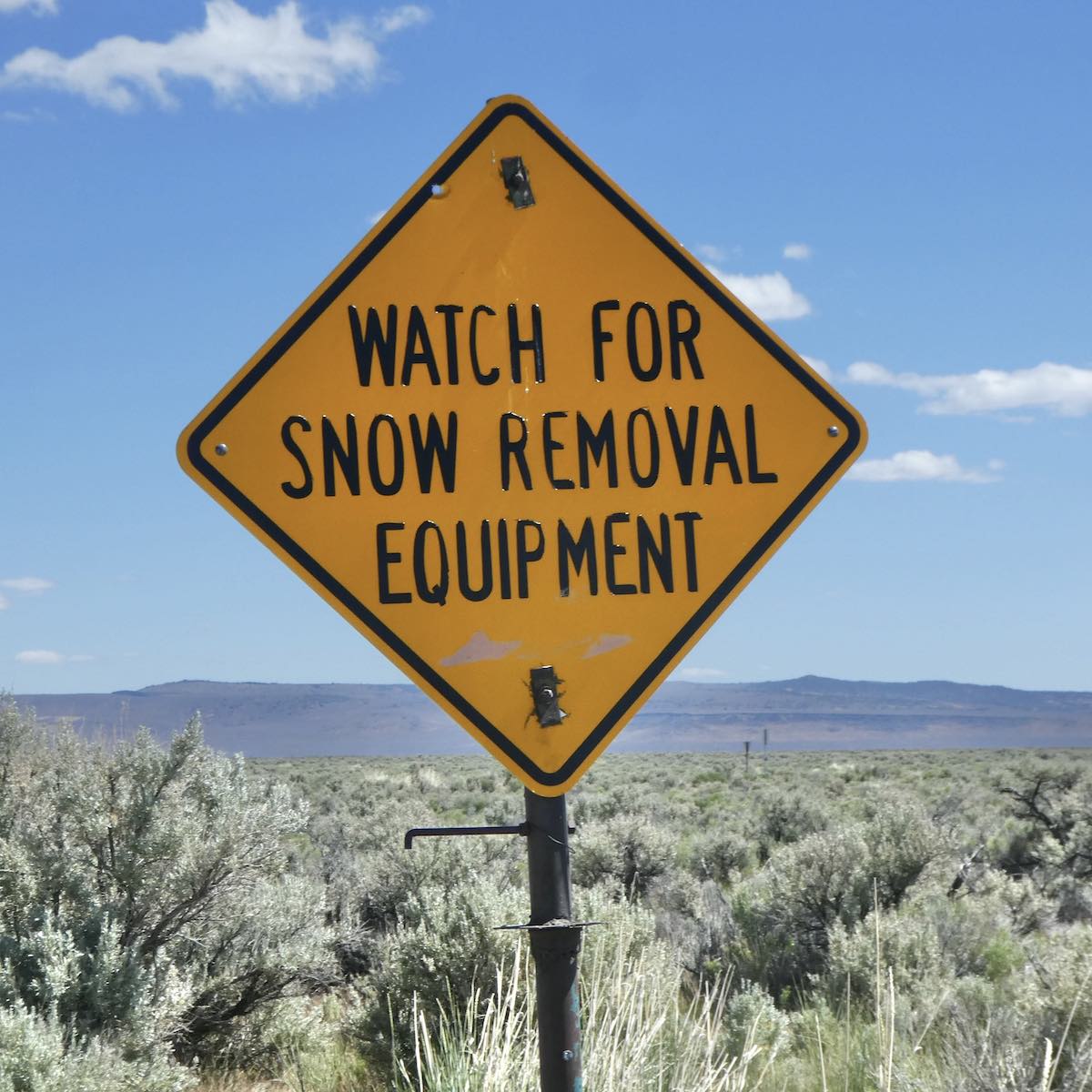
squirrelly. Looking back smoke was visible on the Refuge to the north as I continued east,
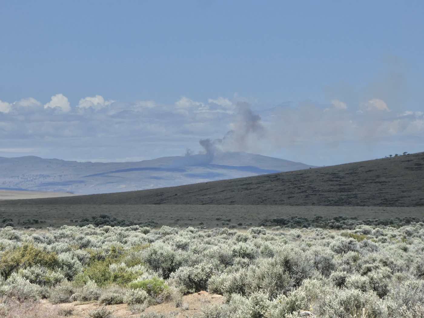
looping downwards towards Big Spring Butte to re-intersect
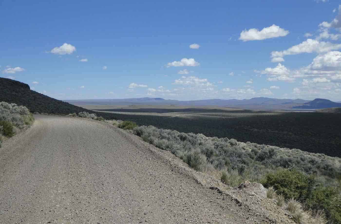
pavement at 140, the Winnemucca-to-the-Sea Highway [wasn’t there in ’67*], and continue
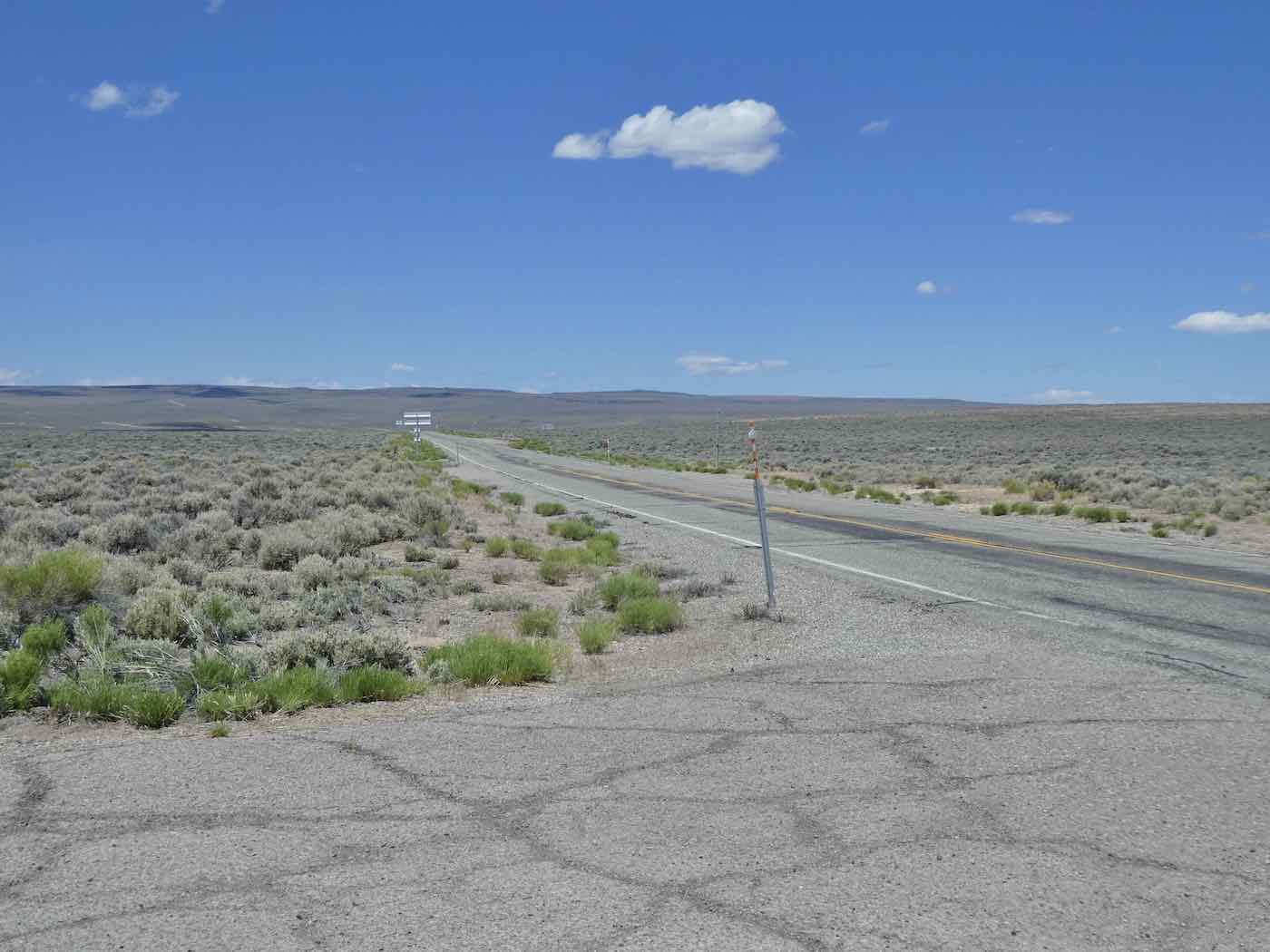
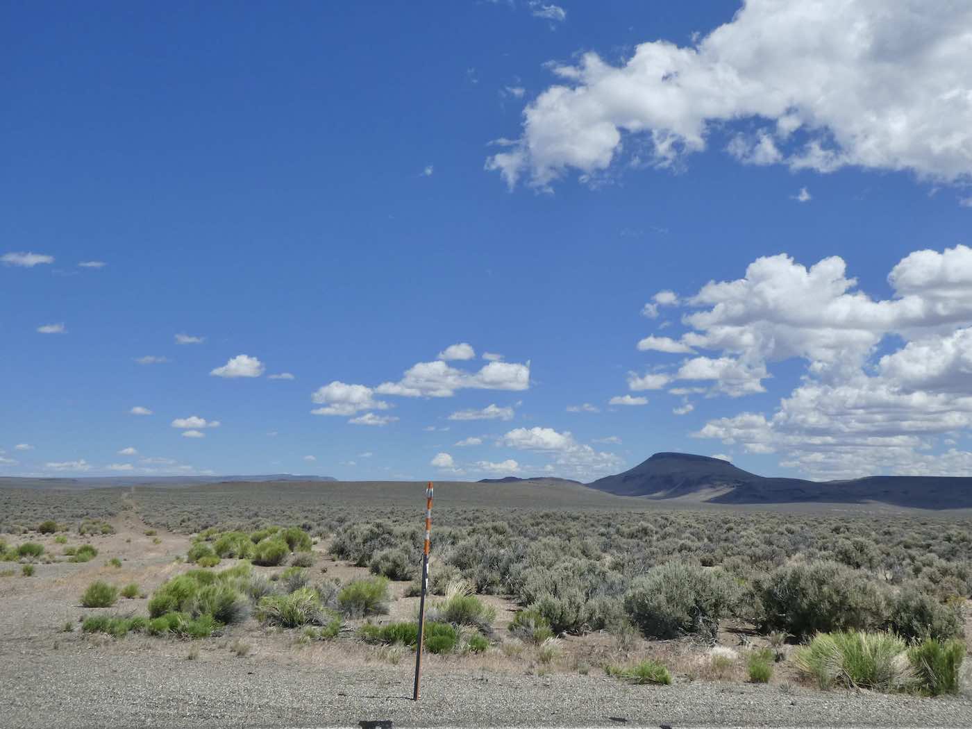
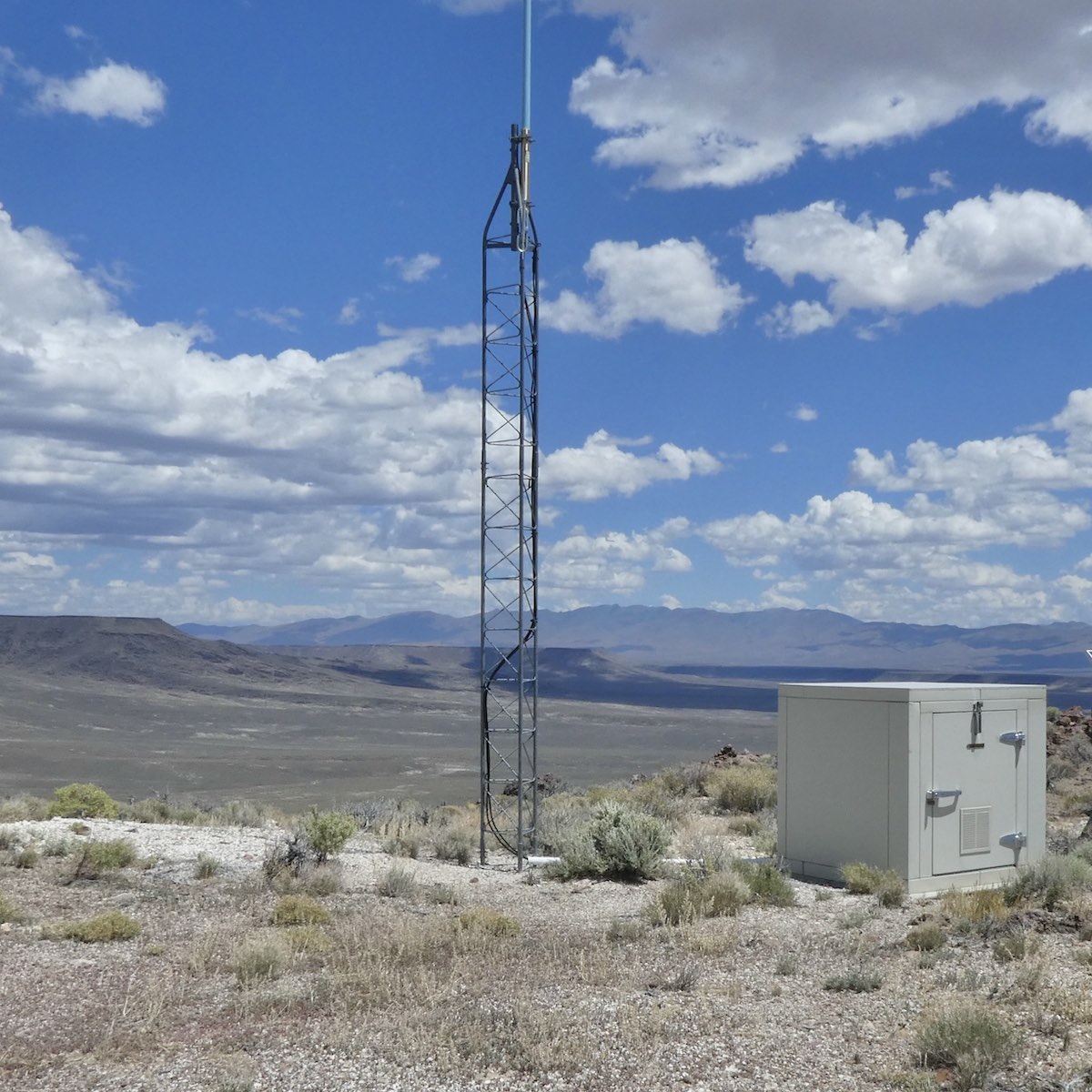
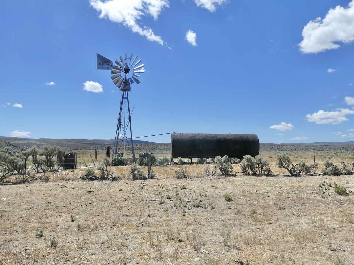
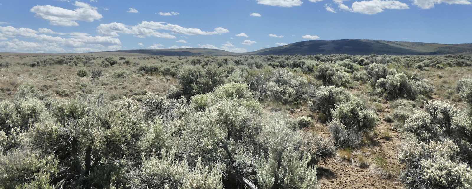
as far as Duferrena Rim** for an extremely windy lunch and nostalgic [I overnighted here many times in the seventies and eighties, took many reference photos for paintings, was spooked by ventriloquist burros on occasion, had the coffee and water freeze solid…etc.] ramble-with-
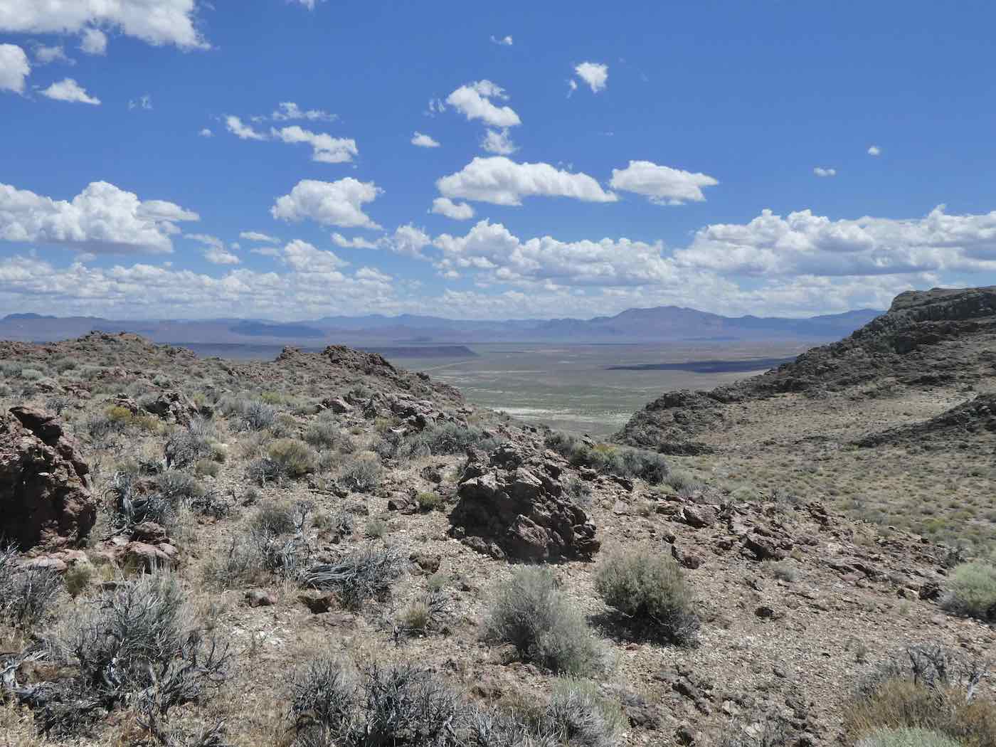
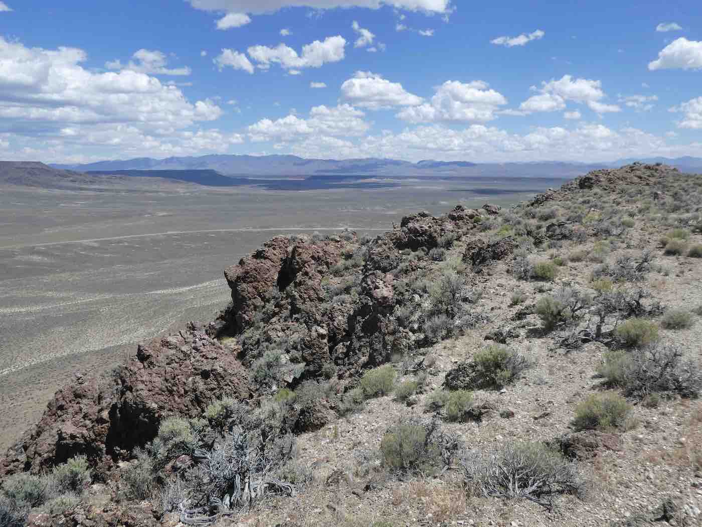
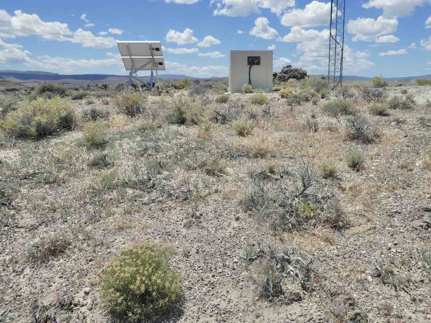
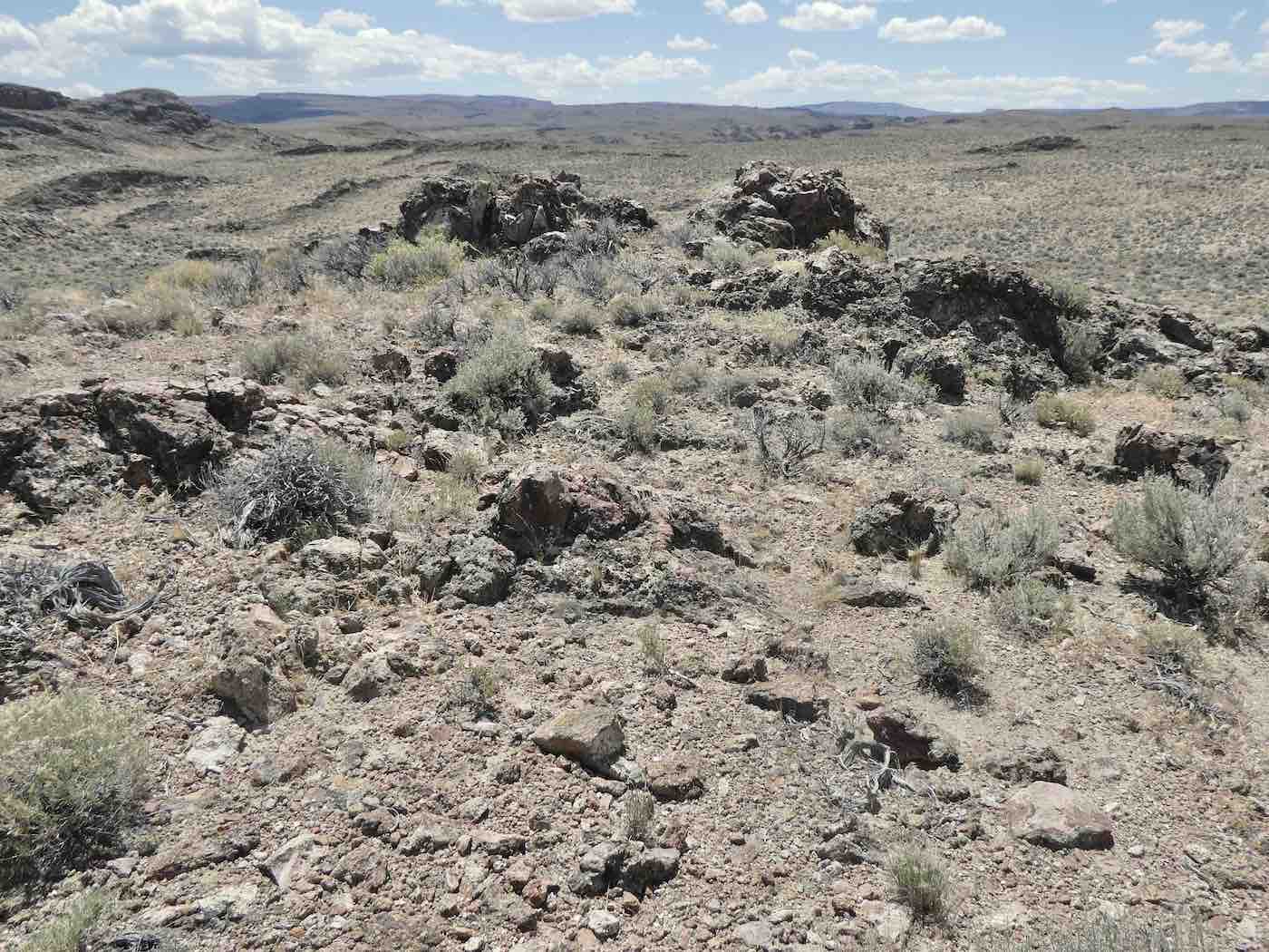
walking-sticks along the rocks until around 12:40, then returned to the shelter of the truck
and pointed it west.
*Though the Chamber of Commerce says the pavement from Lakeview to Denio was “dedicated at Doherty Slide in September 1962” we sure didn’t see any when we came through in March, 1967, headed for the Craters of the Moon. I was in fact quite surprised to discover a highway there five years later, as it still wasn’t on the maps I had.
**Although I’d always known it as that and the Duferrena family have been in that part of the country for over a century the internet doesn’t seem to be familiar with the name. At least not as a geological feature.
Despite Duferrena wind, what a killer day for a long drive out there! So….since Google doesn’t know Duferrena and your link goes to Virgin Valley, I guess those inspired views from the Ridge are somewhere on 140? The Thousand Creek Gorge viewpoint is nearby, you been there? Probably a silly question since you’ve been everywhere….out there.
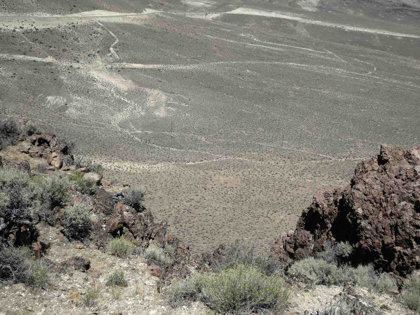
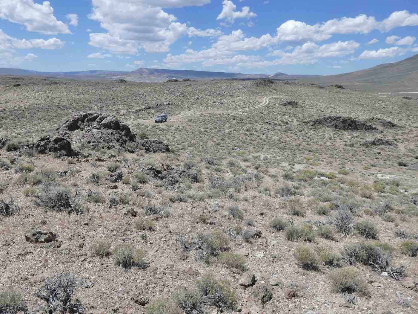
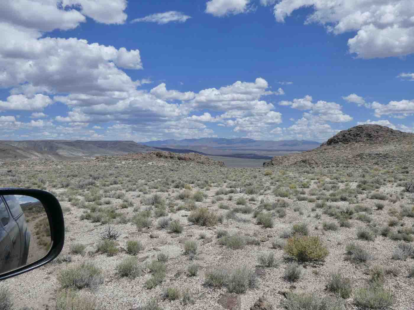
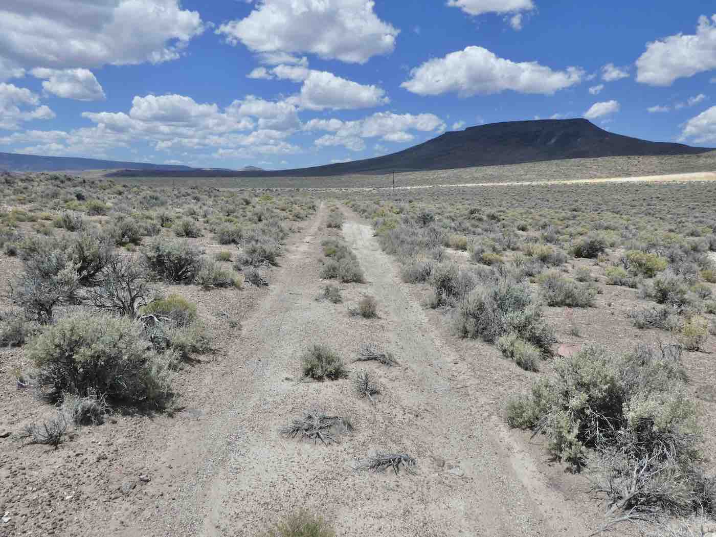
And those two tracks headed west (last picture) look like a slow ride back to Wall.
The google link says VV but shows, with 140 in the upper leftish, most of the rim where I was wont to camp [and, last week, lunch]. No, never been to the Gorge overlook; all my stays were at the north end of the escarpment. It was about as long a drive as I’m up for these days but in the next installment [those two tracks were just a slow ride back to 140] I’ll link to an earlier blog that was 447 miles in a day and covered much of the same territory. Stay tuned…
Nice drive
The return trip is coming right up…
I am enjoying how each of these drives has its own unique qualities. This one is most familiar because of the artwork from the ‘70’s. I liked the well placed verticals that stitched the land and sky.