The Great Circle, or just a day out enjoying the country;
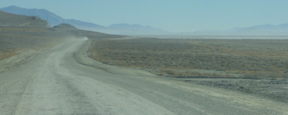
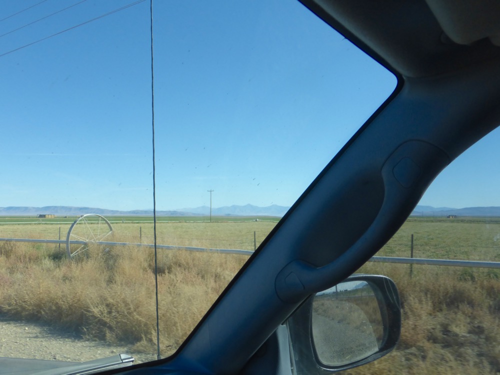
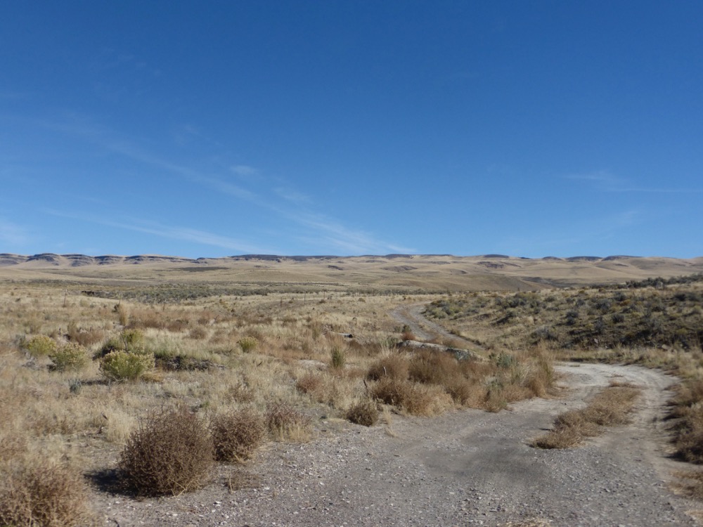
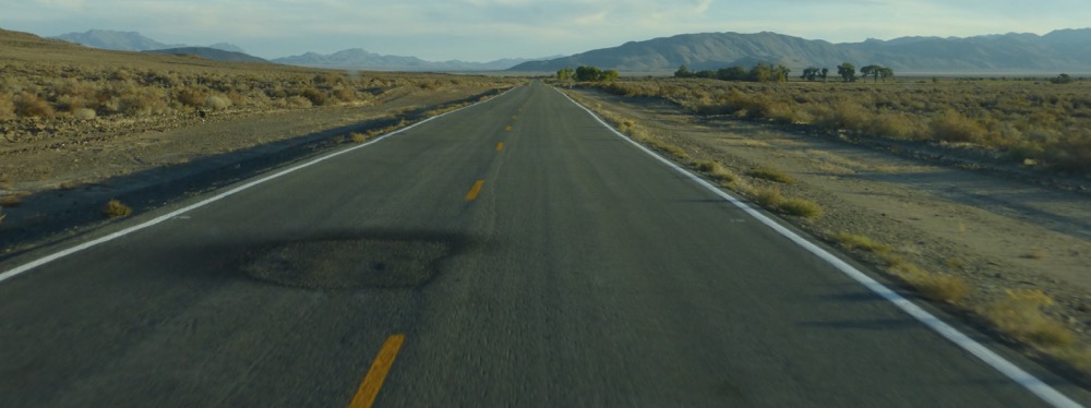
Despite the early rising not actually out the Wall Spring gate until 8:15; CR33 east to 447 to 34 and onto the desert at fivemile, which is quite chewed up; lots of tracks all across the playa too. Off at Trego, one stop before Cholona, as it’s easier to access…
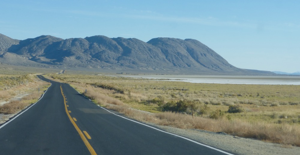
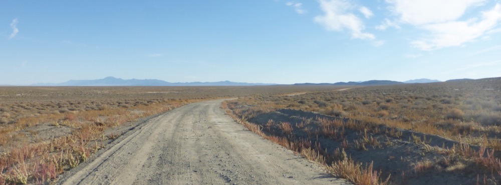
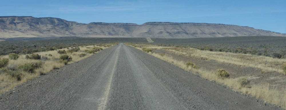
…the High Road, currently an unrelenting washboard riddled with axlecracking powder-filled potholes nearly to Sulphur, regretting I neglected to photograph the “Shit” appended to the “Dip” sign at the Dip but, oh well.
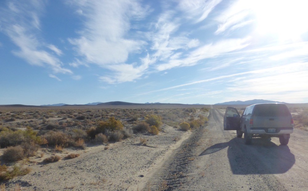
Mine traffic on Jungo road all the way from Sulphur to Jungo…
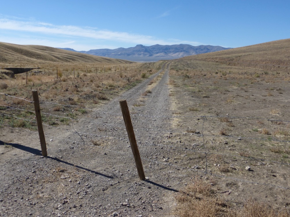
Reached the Bottle Creek Road at Jungo just in time to fall behind a northbound truck, recently inbound from Winnemucca, but moving fortunately faster than the miner, so up Desert Valley…
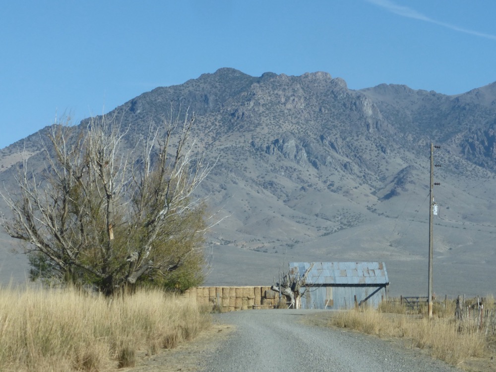
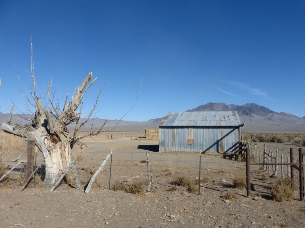
… through widely-spaced ranches [and one instance of industrious industrial ag] in the middle of assumed nowhere, miles from anywhere, miles from Winnemucca…
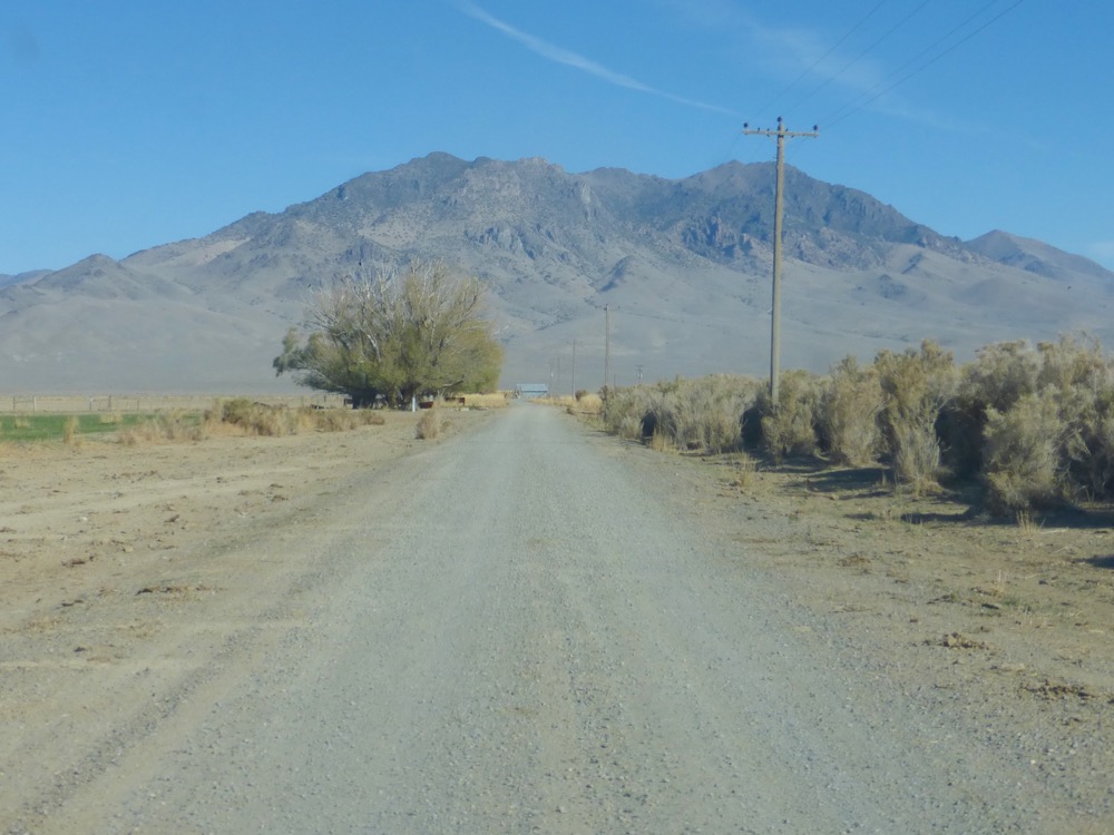
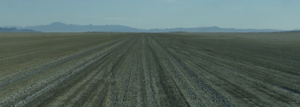
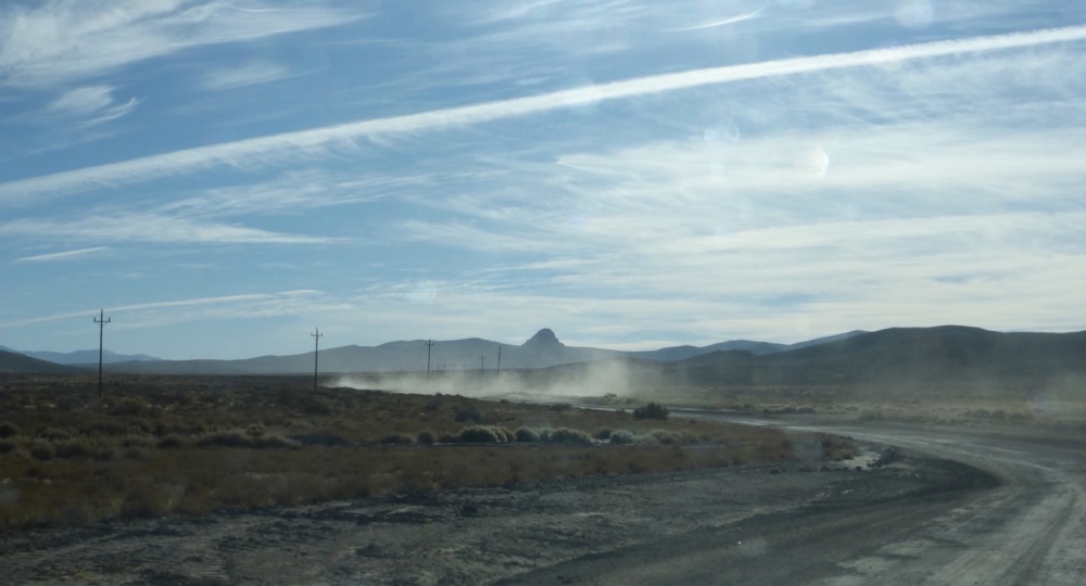
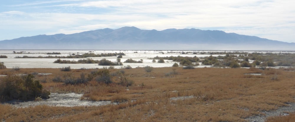
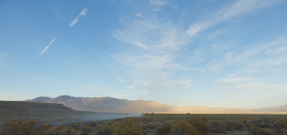
Two hours of gravelly dirt after diving onto the desert a finger of pavement snaked down from the Winnemucca-to-the-Sea highway, soon followed on the left by the gasline’s monster pumping station…
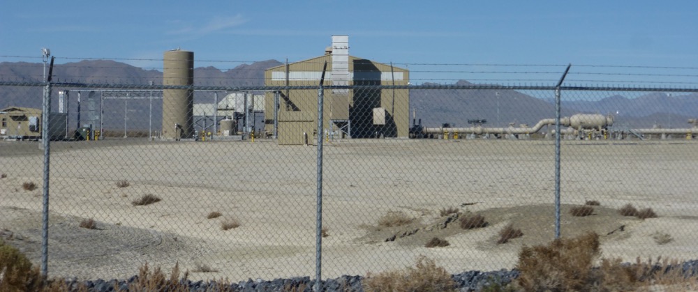
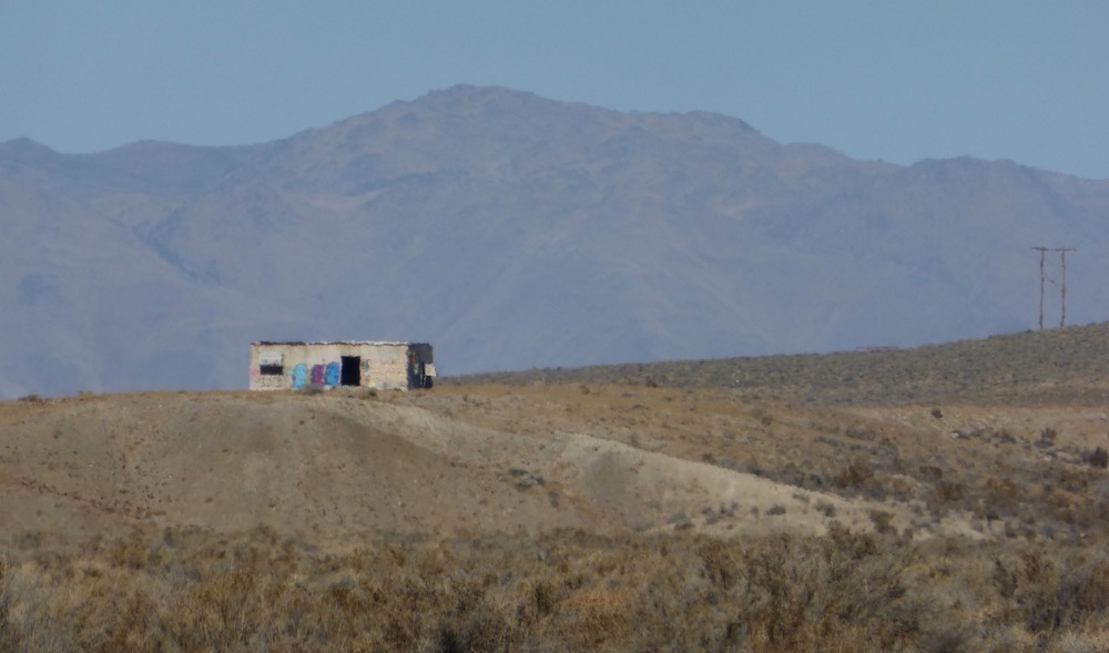
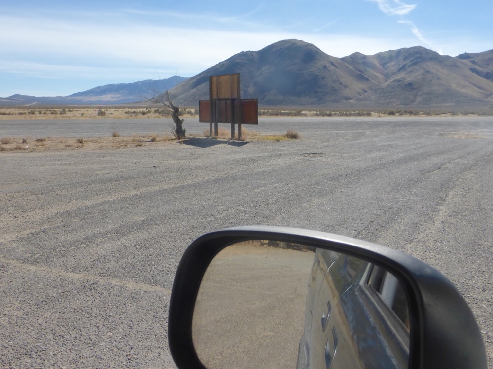
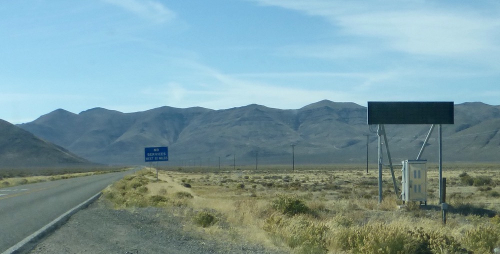
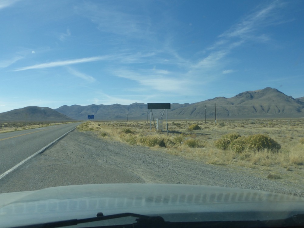
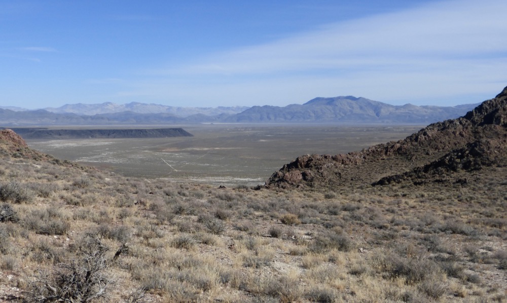
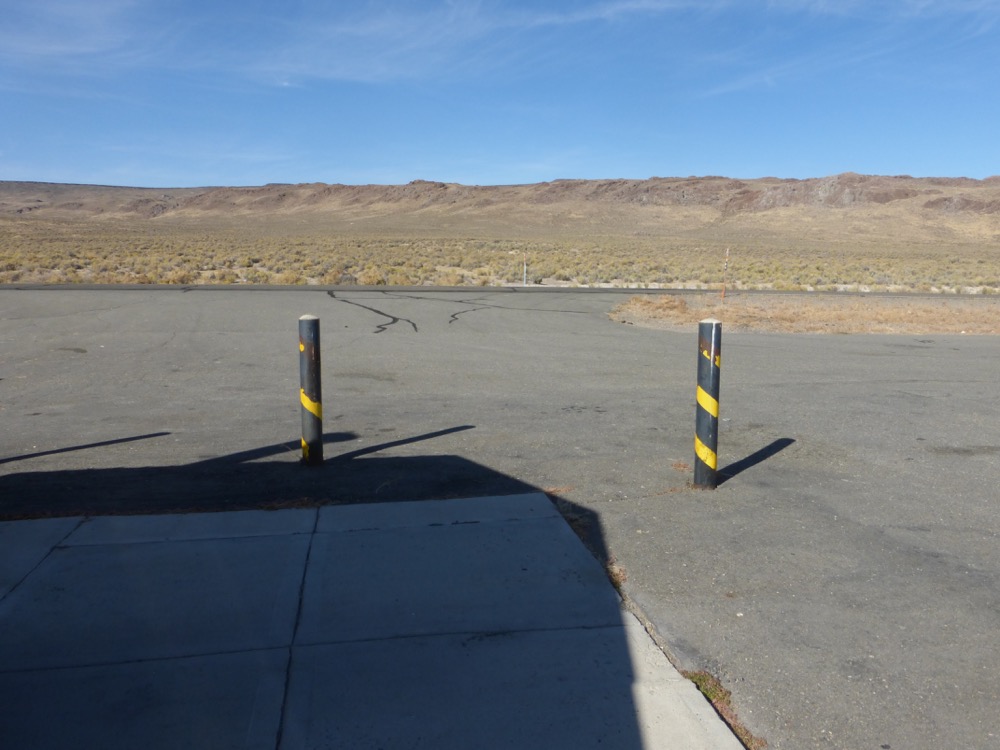
…and then the highway [with abandoned military facility in the distance];
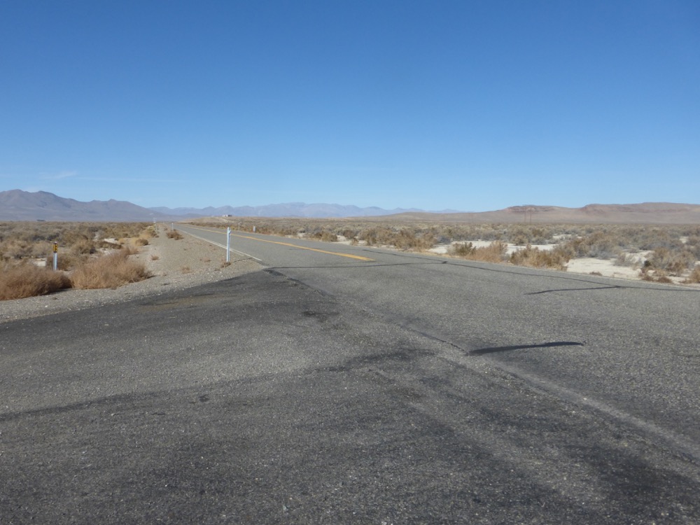
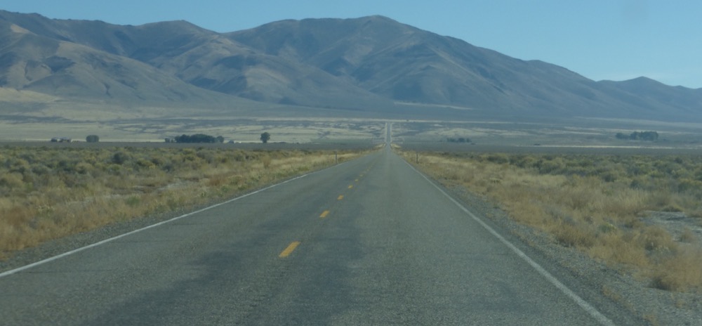
…twenty five miles east on 140 to US 95;
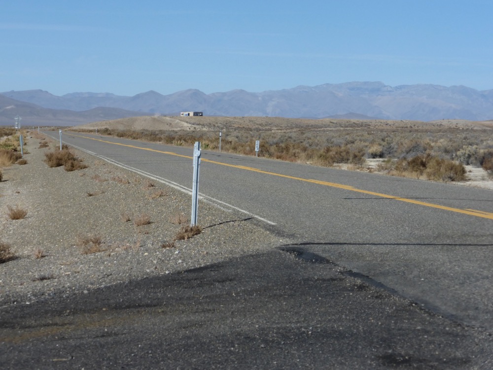
Forty three miles north on 95 to McDermitt, gas, then 14 miles into Oregon to the Jackson Creek Summit road; east on that and a couple of miles in a right forks towards an old ranch…
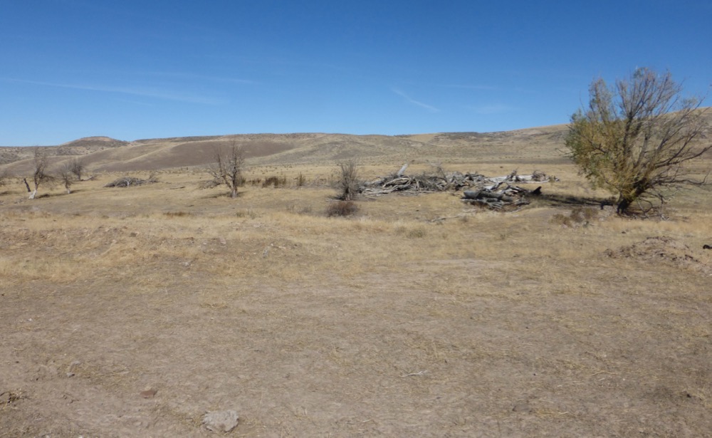
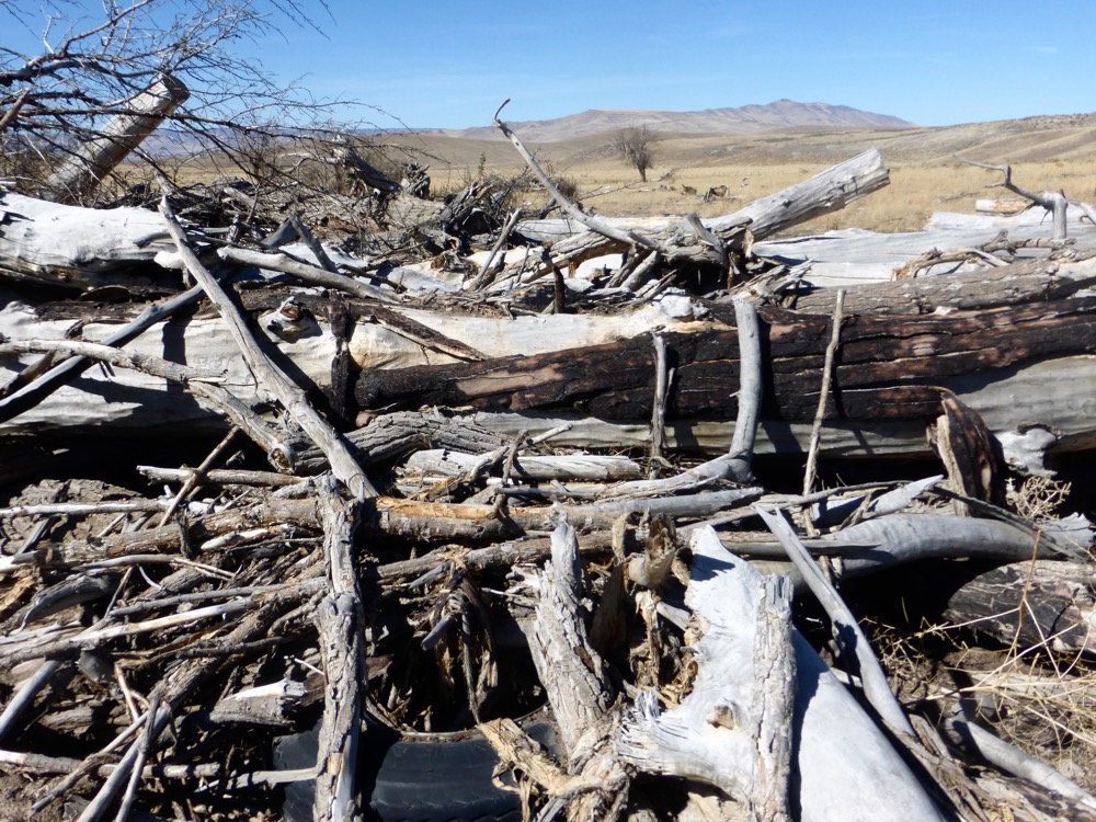
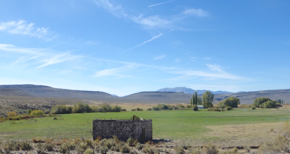
..site. I’d hoped to document the apple orchard, but the apple orchard, 60′ long stone barn, corrals and bunkhouse had all been eradicated; first by fire, then by the BLM, utterly. Probably a misplaced manifestation of their Black Rock City “leave no trace” policy but an extremely prejudicial erasure of history, surely. Like the Israelis, one comes to expect no less of them.
Lunch nonetheless [salsa and avocado on flatbread; cheese; coffee], then west, crossing 95 to Oregon Canyon road, finding non-erased history where O. Cnyn. turns north [soon after, confused, I mistakenly cut over to the powerline, only to bushwhack back along a fenceline [not shown] several bumpy miles later a mere quarter mile shy of the actual connecting road].
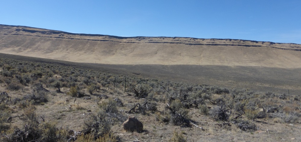
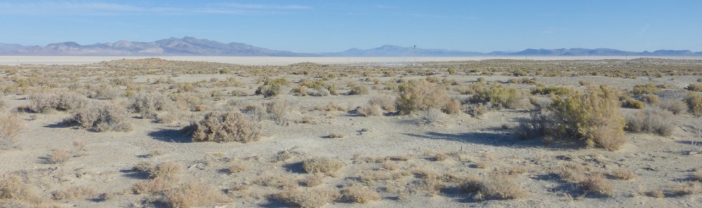
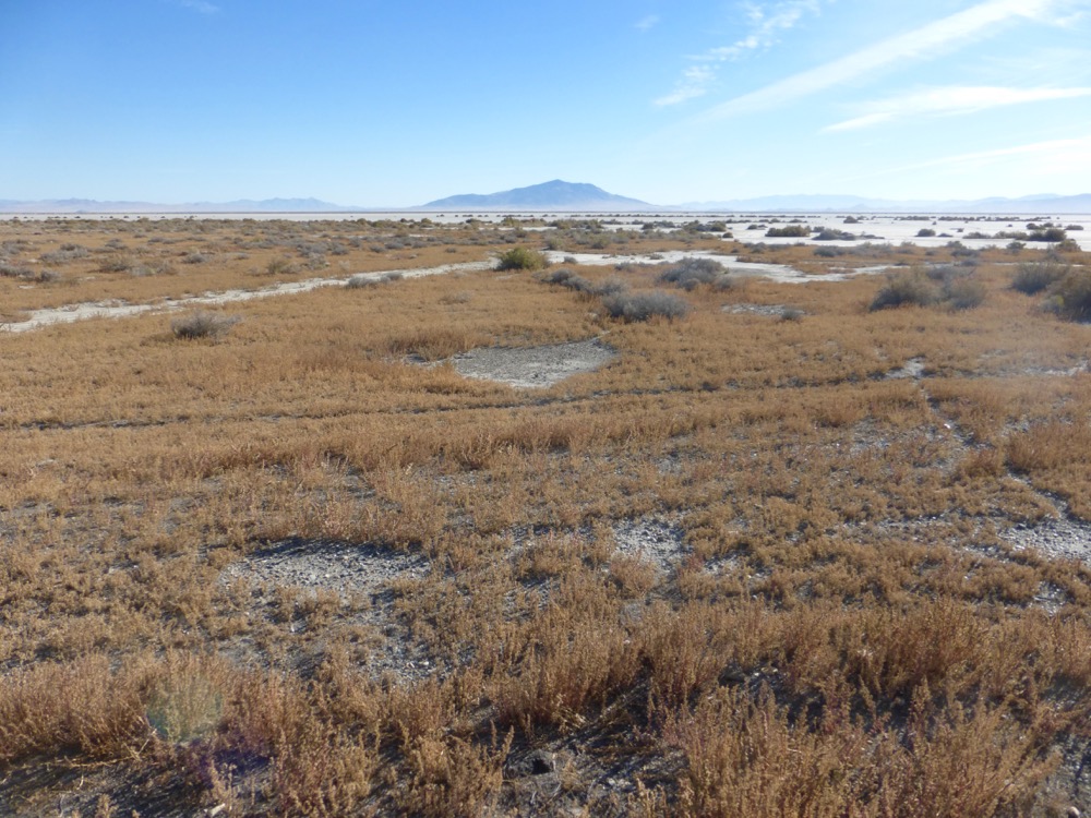
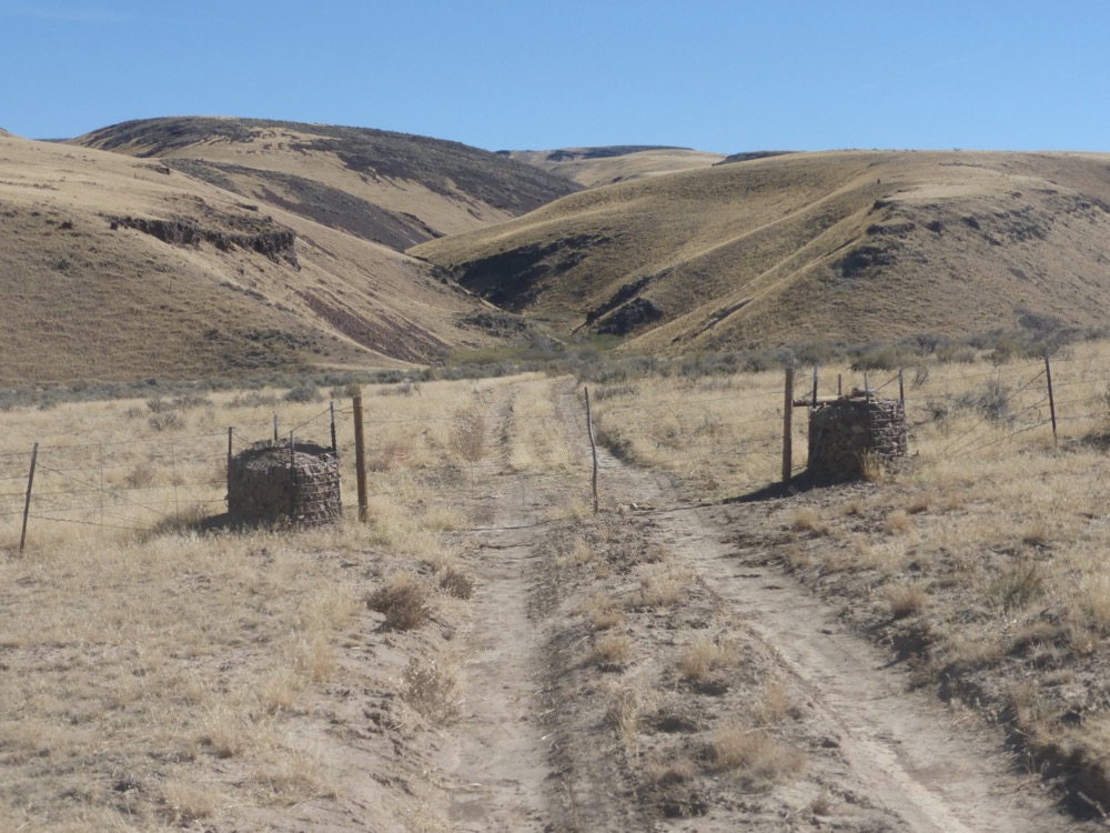
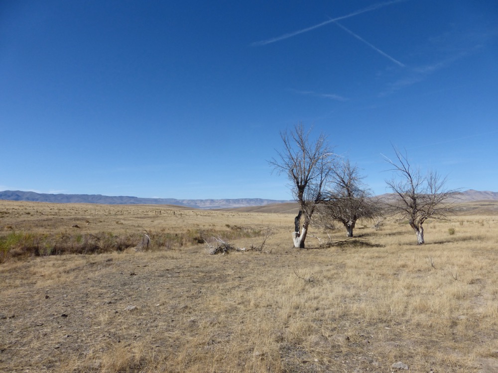
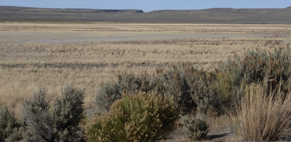
Oregon Canyon to Whitehorse Ranch Road, showing division between burnt [cheatgrass on right and slopes] and unburned low sage desert [middle].
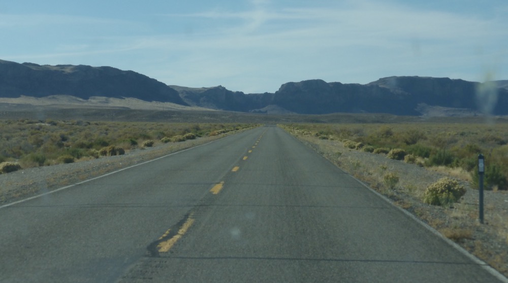
Whitehorse Ranch Road at speed to the Denio-Fields Road via Trout Creek Canyon…
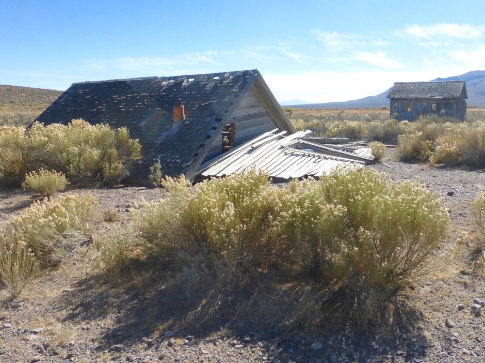
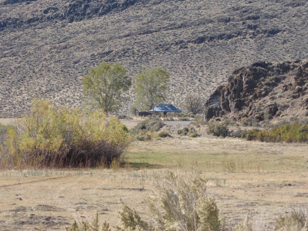
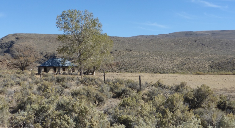
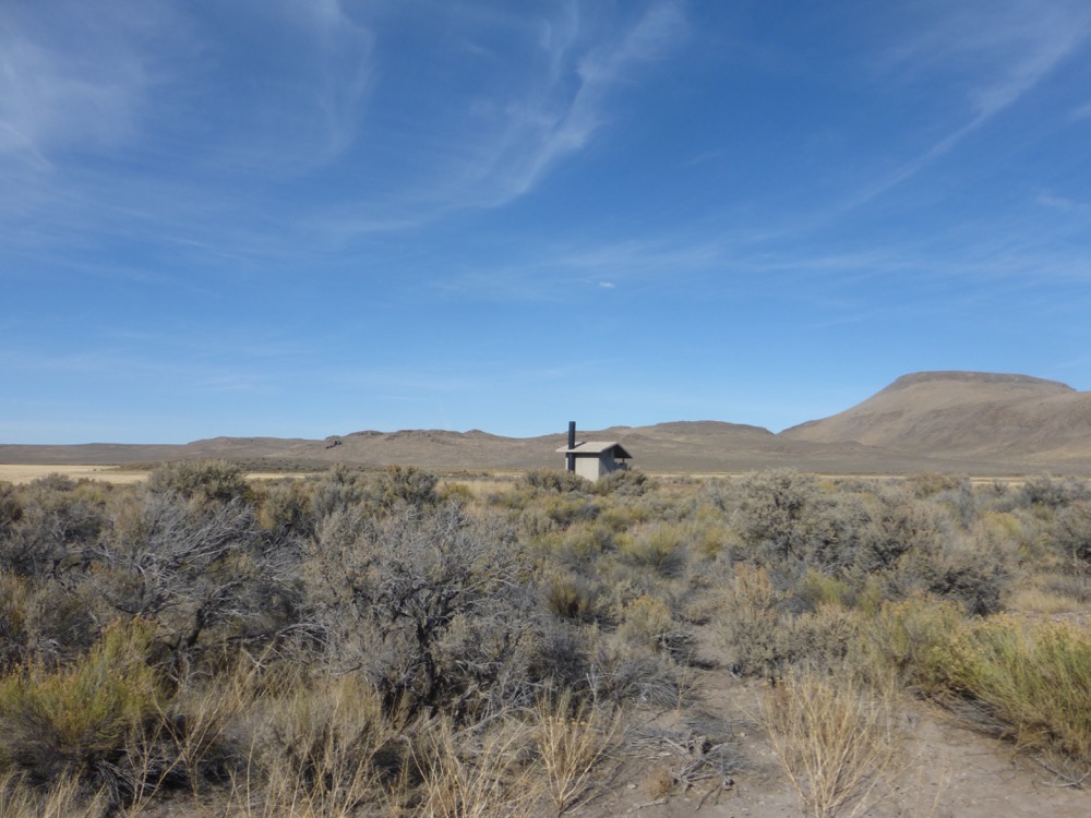
In the lower canyon the Old State Police Station, first observed more than forty years ago, remains not only nicely preserved but still an obscure object of unrealized desires;
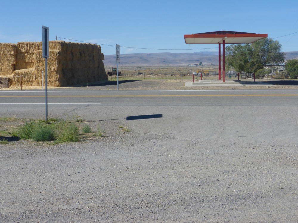
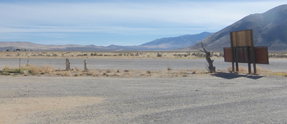
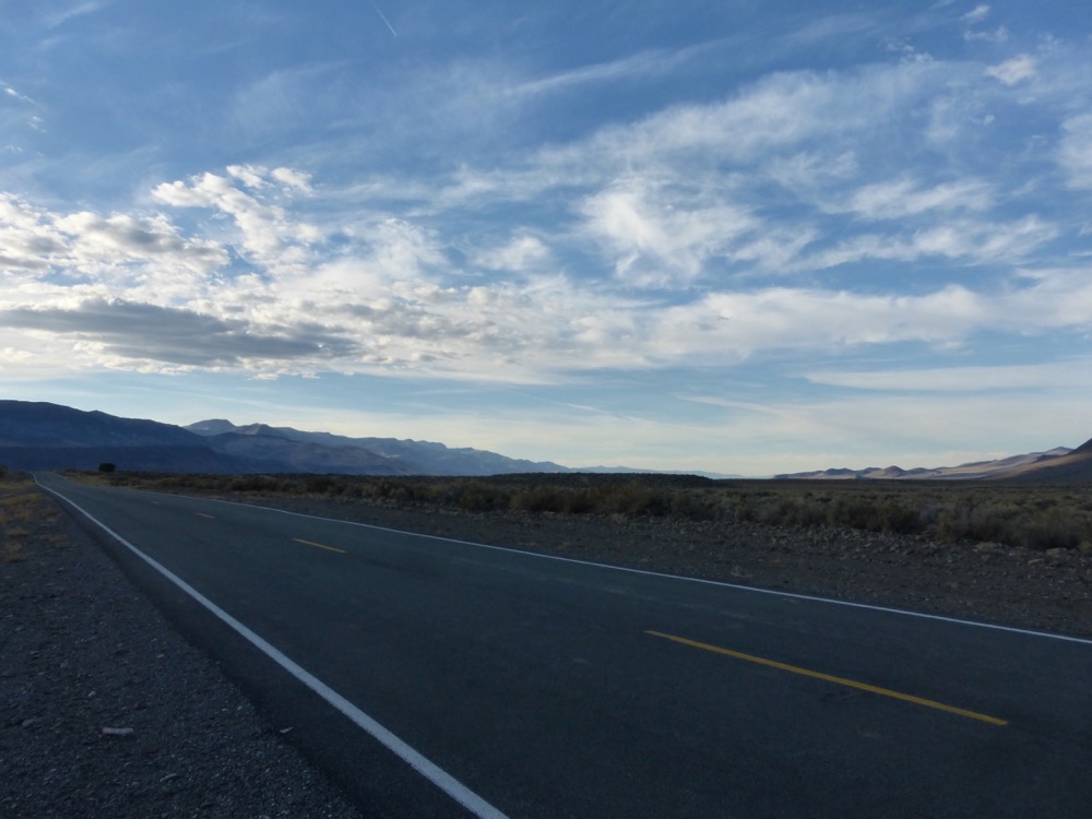
South on the Denio-Fields Road [not shown] to enter Nevada at Denio and rejoin 140 at Denio Junction, where guzzoline is no longer offered…
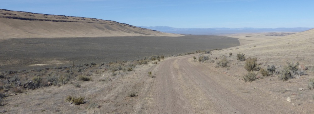
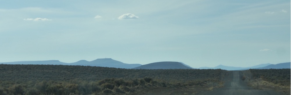
140 West from the junction; skipped Bog, continuing up Duferrena Grade to the Duferrena Rim…
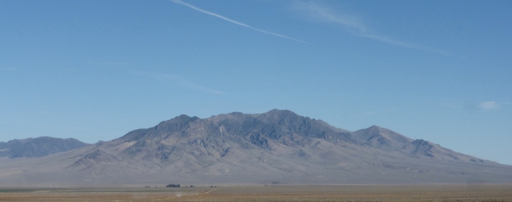
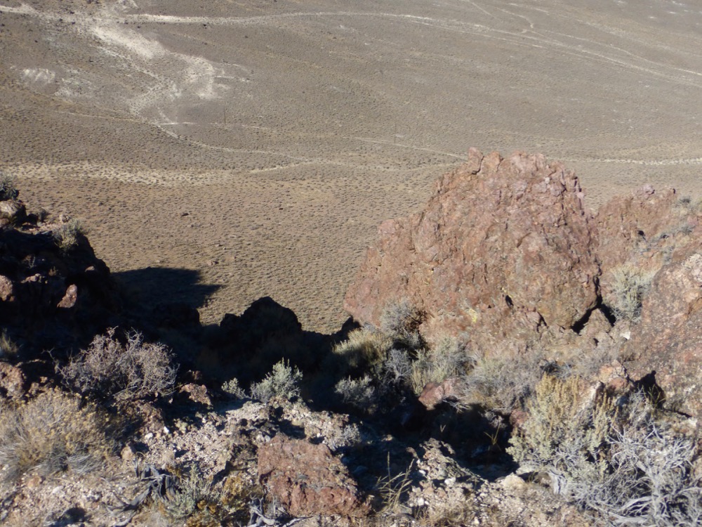
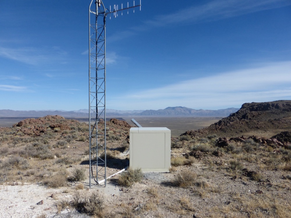
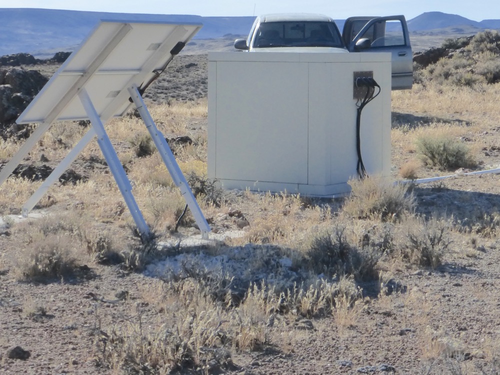
The Rim the site of many an overnight as well as the semi-aerial photography employed in my paintings from the mid to late seventies [and now the site of some sort of repeater station, though no cellphone reception] and this afternoon the site of a cold afternoon coffee;
Virgin Valley Rest Area and then Big Spring Reservoir, where I once, wandering up an obscure track in an old-even-then beater Chevy, nooned utterly ripped on hash. Now replete with gravelly roads, “primitive” ‘campsites’ and plenty signage, but still no boating;
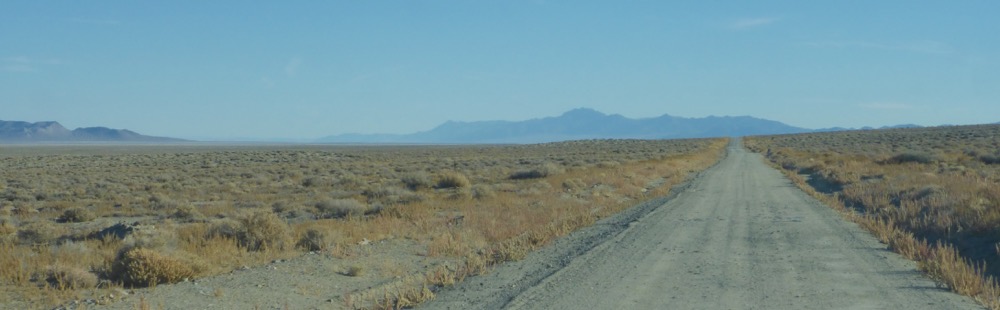
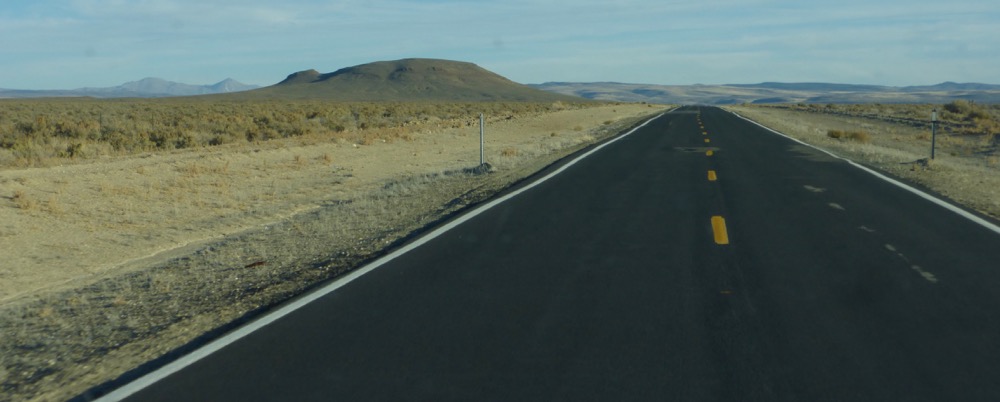
Returning to 140 soon turned on 8A, 45 miles southwesterly across the Sheldon into the sun, subsequently overtaking a commute of trailer-pulling cowboys approaching Vya…
One I pass on the flats, two turn south to 34, another two I overtake slowly ascending Little Mtn Pass and so descend to Cedarville for gas, then south down lower Surprise Valley…
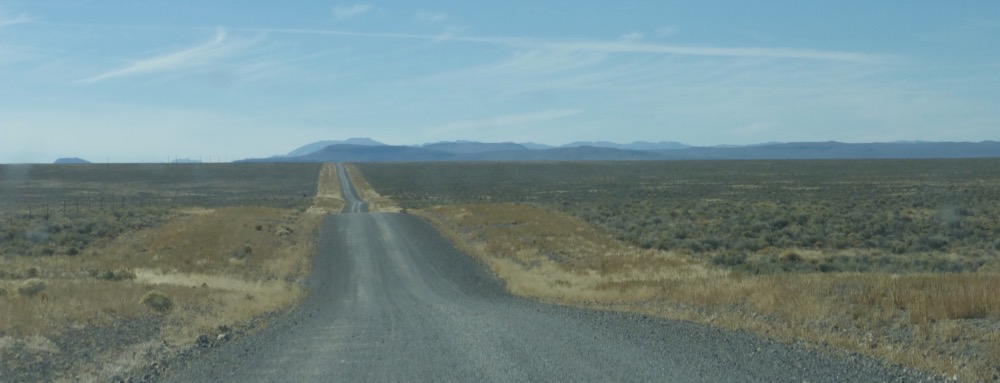
After Bare Creek Nevada 447 commences at MM 130, crosses Duck Valley, summits the Summit and drops to Smoke Creek Road [CR33] at Mile 84 an hour out of Eagleville…
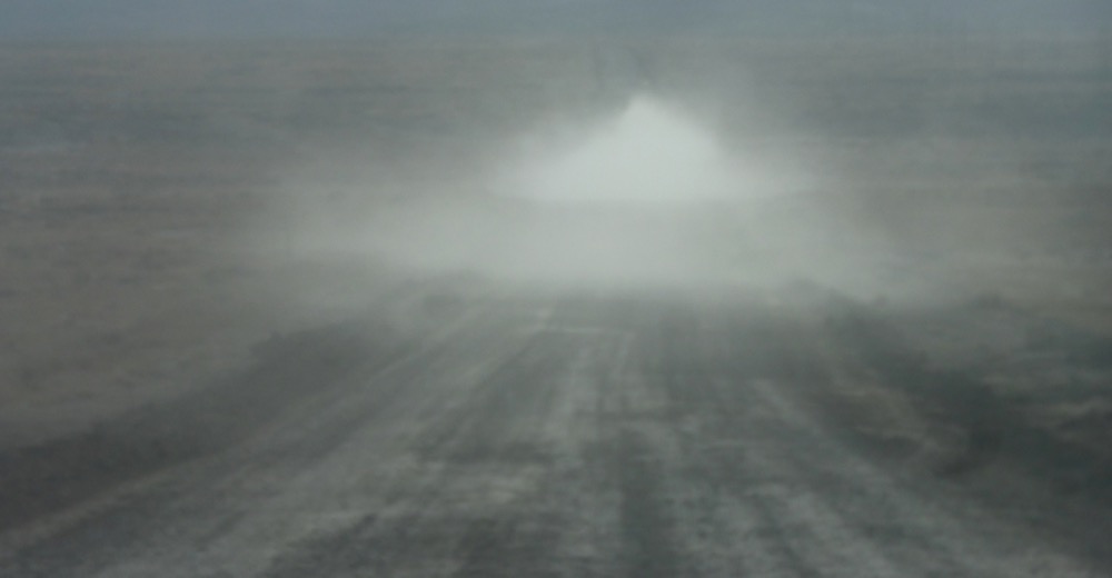
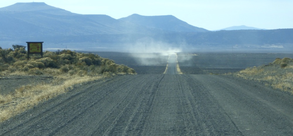
Wall Spring, six o’clock to the gate with dust adrift behind…and the odometer, before correction, says it was 447 miles. Hmmm…
“Will call when done, or if there’s service from some interesting places…”
M